Visit the Galápagos island of Española between December to April, and you may witness one of the most extraordinary courtship rituals in the natural world. Each spring, nearly the entire global population of waved albatrosses—tens of thousands of birds—returns to this remote island to reunite with lifelong partners, raise a single chick, and perform a mating dance so intricate and theatrical that it feels choreographed by nature itself. With wingspans stretching up to eight feet, these are the largest birds in the Galápagos, yet their grace in the air contrasts beautifully with their endearing awkwardness on land. For travelers, seeing them here—on the only major breeding ground they have left—is nothing short of magical.
A Date With the Albatross: When to Plan Your Trip
The waved albatrosses follow a strict seasonal rhythm, and timing your visit is essential.
- Late March – April (Arrival): The birds return to their only major breeding site on Española Island. Males typically arrive first to claim nesting spots, followed shortly by females.
- April – June (Courtship & Egg Laying): This is the peak time to witness their famous courtship dance, which involves bill-clapping, bowing, and honking. Most eggs are laid during this window.
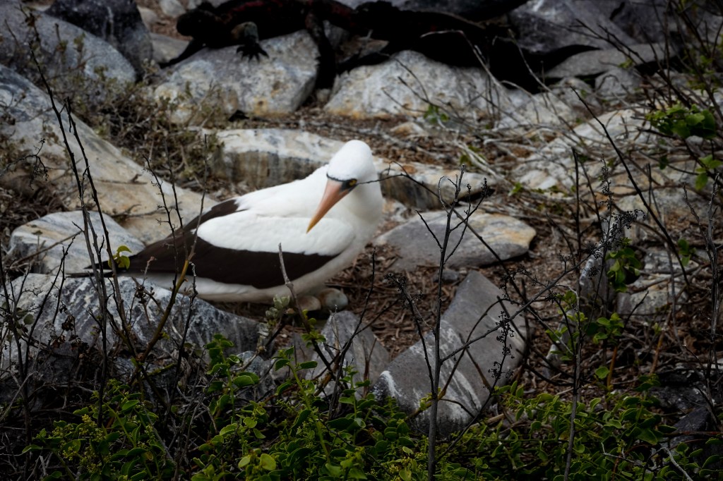
- June – August (Incubation): Parents take turns incubating a single large egg for about two months. You can see many birds sitting on nests during this time.
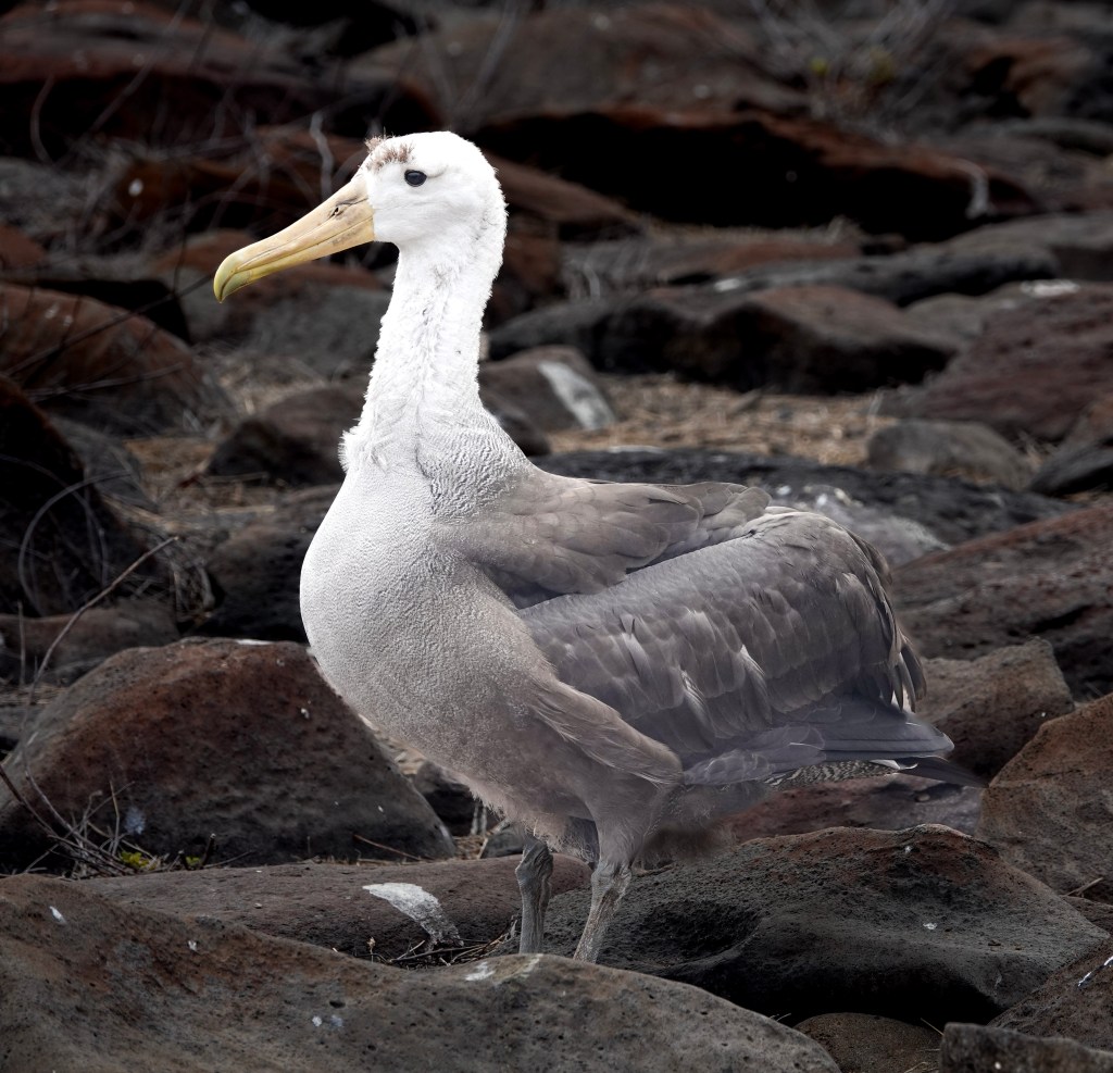
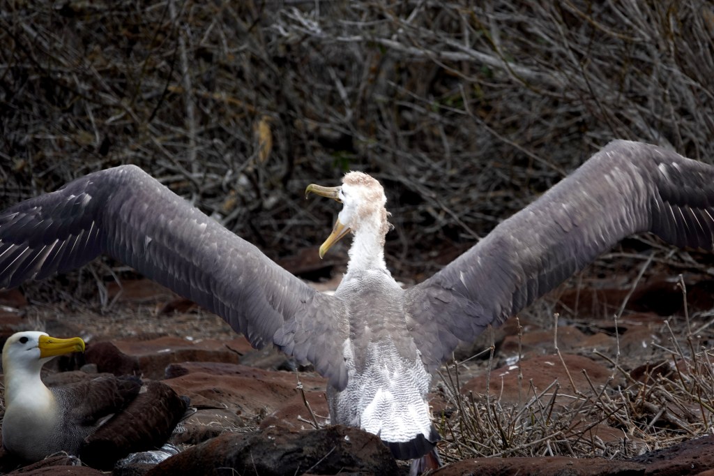
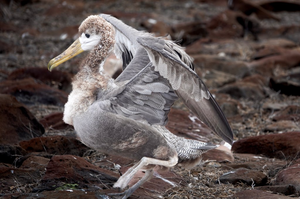
- August – November (Chick Rearing): Chicks hatch and are fed a nutrient-rich oily substance by their parents. By late in this period, large, fluffy, brown chicks are visible across the colony.
- December – early January (Fledging & Departure): Young birds take their first flights, often wobbling to the cliffs for take-off. By mid-January, the colony is usually deserted as they head to the coasts of Ecuador and Peru
We were at the Waved Albatross nests on Española Island (specifically at Punta Suarez) at the end of December. We not only saw the young chicks learning to fly, but also saw the courtship dance (Vidoe below)
Choosing the Right Cruise: Why an Eastern Itinerary Matters
Because waved albatrosses breed only on Española Island, your cruise route determines whether you’ll see them at all.
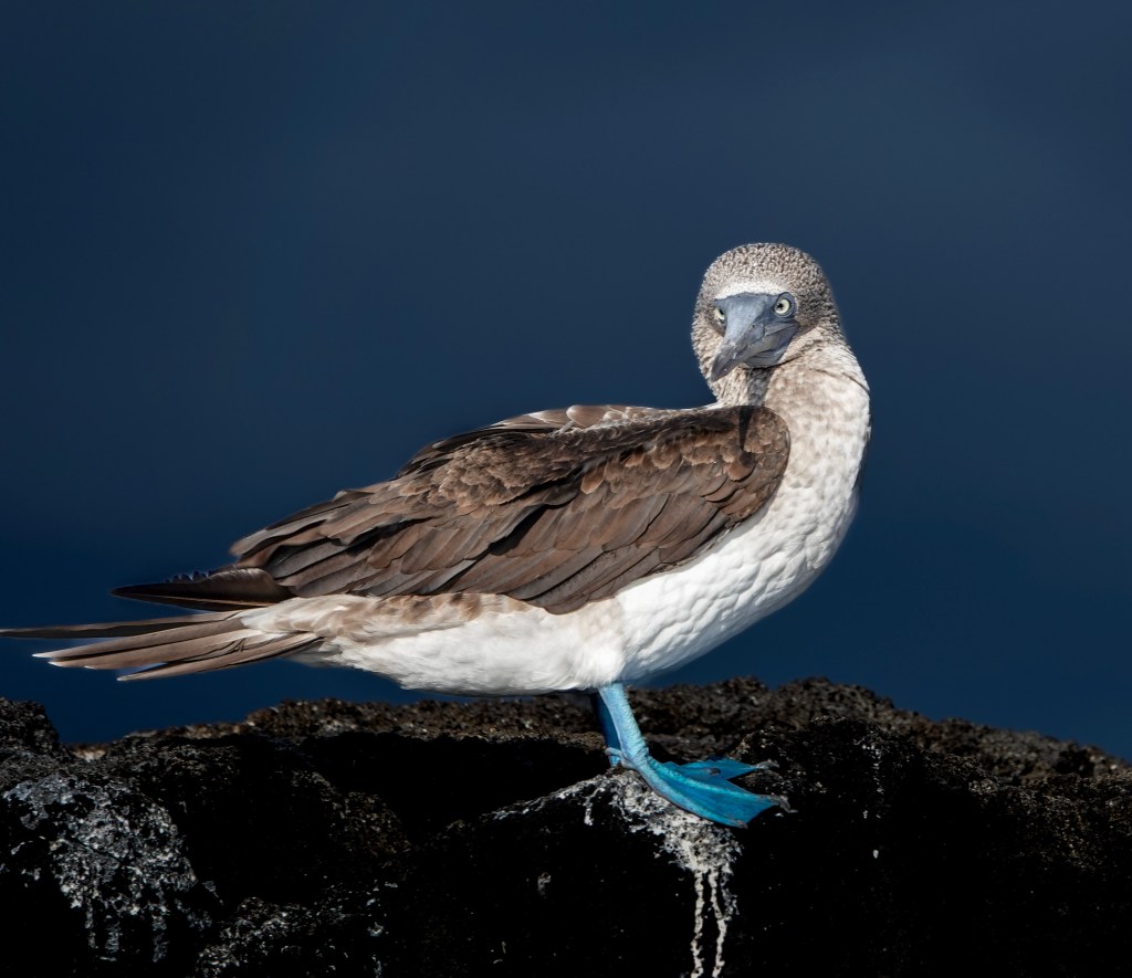
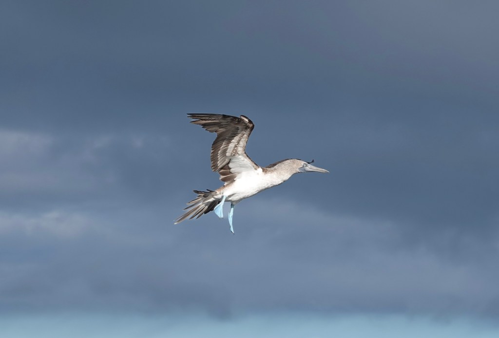
The landing at Punta Suárez is rugged and dramatic, with blowholes, cliffs, and colonies of seabirds swirling overhead. But nothing prepares you for the moment you see your first albatross waddling across the lava rock, its oversized bill and blue‑tinted feet giving it a charmingly awkward elegance.
Meet the Waved Albatross: The Ocean’s Master Glider
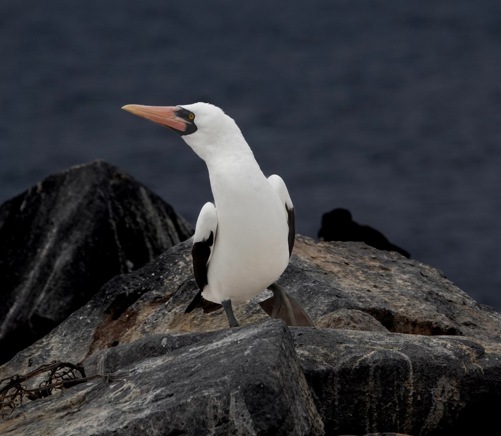
The waved albatross (Phoebastria irrorata) is a study in contrasts—both powerful and delicate, comical and majestic.
- Wingspan: Up to 2.5 meters (8 feet), the largest in the Galápagos
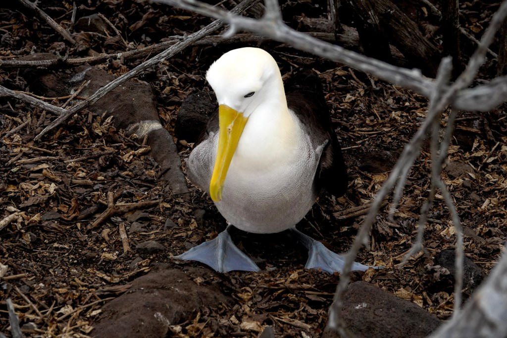
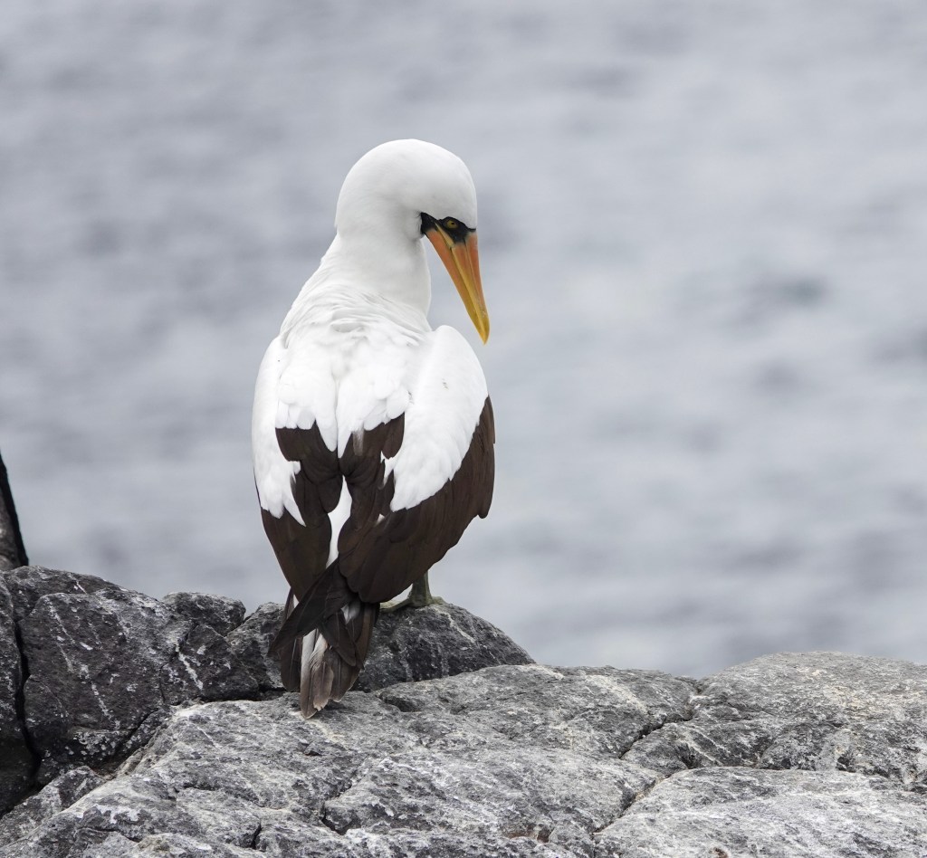
- Appearance: White head with a creamy yellow crown and neck, chestnut‑brown body, white underwings, and a long, dull‑yellow bill
- Namesake: The subtle wave‑like pattern on the adults’ wings
- Lifestyle: Exceptional gliders, spending years at sea without touching land
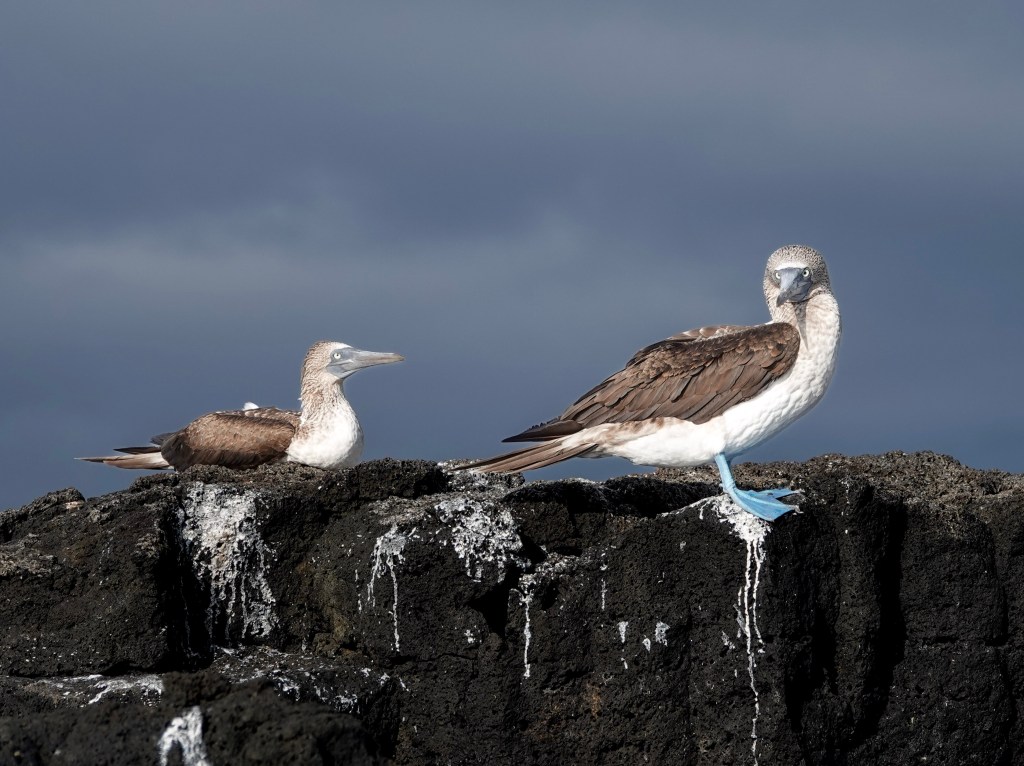
- Diet: Fish, squid, and invertebrates—often scavenged near fishing boats or stolen from boobies
Despite their size, they move with surprising grace in the air, riding ocean winds for hours without flapping. On land, however, they transform into endearing, slightly clumsy characters—true to the Spanish root of “bobo,” meaning “foolish,” a name shared with their booby neighbors.
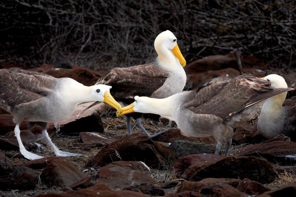
The Courtship Dance: One of Nature’s Most Theatrical Rituals
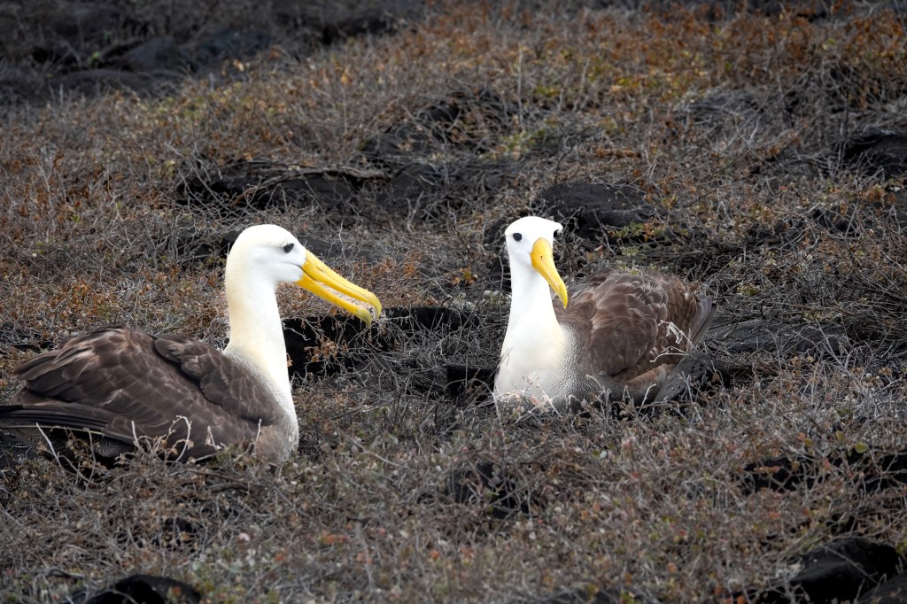
If there is one wildlife behavior that defines the waved albatross, it is their courtship dance—a ritual so intricate and expressive that it feels choreographed.
Pairs face each other, leaving just enough space to stretch their long necks. Then the performance begins:
- Bill circling
- Bill clacking
- Hollow wooden tapping sounds
- Exaggerated head sways
- Honking
- Bowing
- A waddle that borders on comedic
- And the occasional cow‑like “moo”
For new pairs or those that failed to breed the previous year, the dance can last hours—sometimes days. It is a test of compatibility, trust, and lifelong partnership.
Because waved albatrosses are monogamous, this ritual is not just courtship—it is a reaffirmation of a bond that may last decades.
Life on Española: Nesting, Parenting, and the Long Journey Ahead
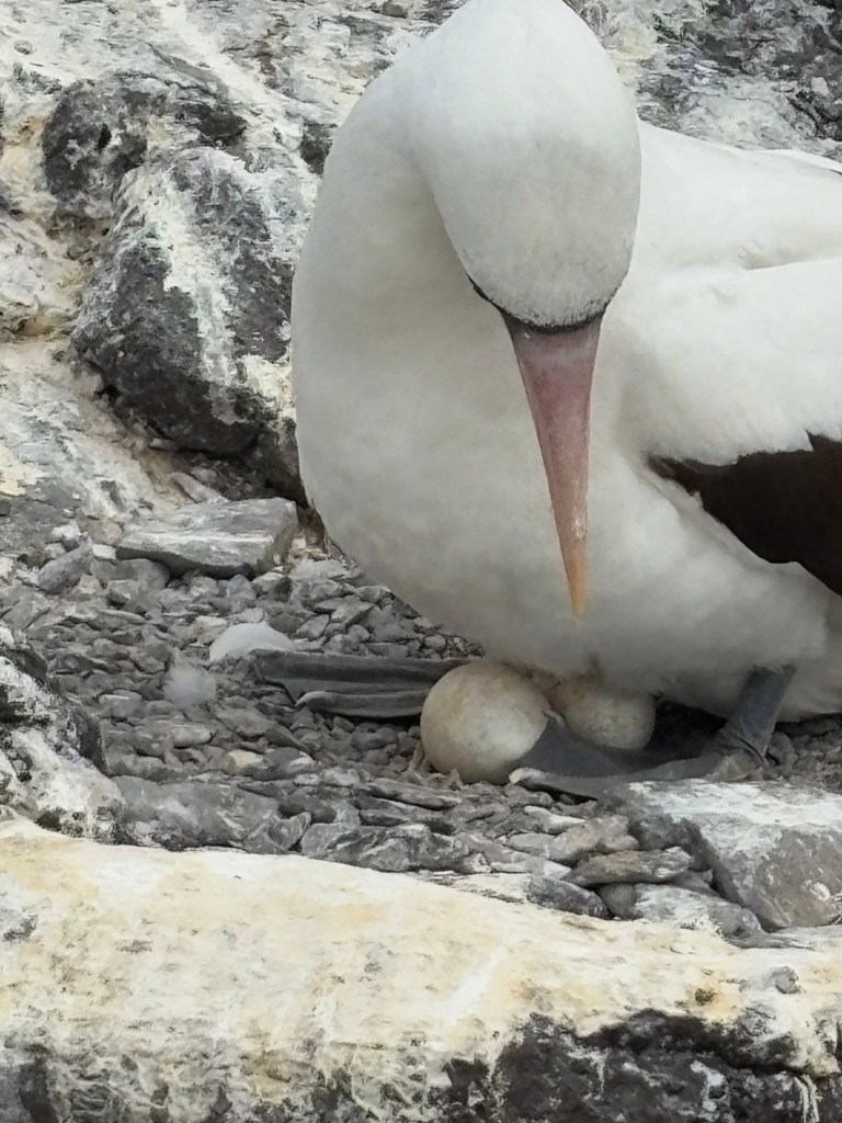
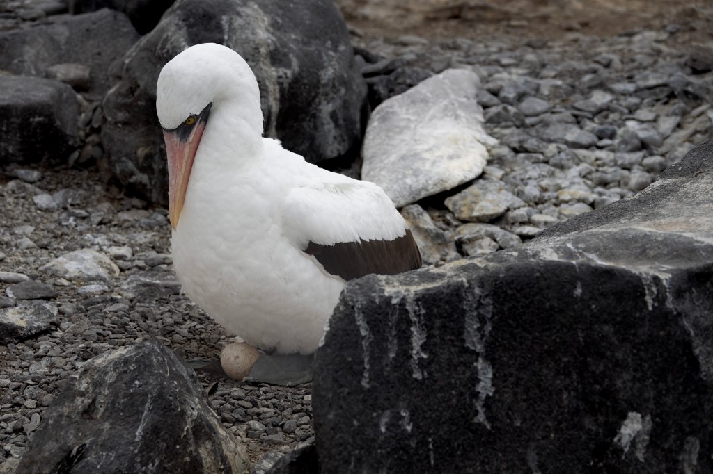
Once bonded, the pair lays a single egg directly on bare ground. They take turns incubating it for nearly two months. After hatching:
- Chicks join “nursery groups” while parents forage
- Adults return to feed them a nutrient‑rich oily liquid
- Young albatrosses fledge at around 5.5 months
- They then spend up to six years at sea before returning to Española to find a mate
With only one chick per year and threats from fishing, pollution, and habitat changes, the species remains vulnerable—making every successful breeding season a triumph.
Why Española Is the Only Place to See Them
Nearly the entire global population—estimated at 50,000–70,000 individuals—returns to Española each year. A tiny secondary colony exists on Isla de la Plata off mainland Ecuador, but with fewer than 20 breeding pairs, Española remains the heart of the species.
This exclusivity makes your visit feel even more special. You’re not just seeing a bird—you’re witnessing a species in its ancestral home, performing rituals unchanged for millennia.
Final Thoughts: A Wildlife Encounter Worth Crossing Oceans For
Standing on the cliffs of Española, watching thousands of waved albatrosses reunite, dance, nest, and soar, you feel the pulse of the Galápagos in its purest form. It’s a reminder of how fragile and extraordinary these islands are—and why they continue to inspire travelers, naturalists, and storytellers alike.
If your Galápagos journey is about connection, wonder, and witnessing nature at its most theatrical, then timing your trip to meet the waved albatross is an experience you’ll never forget.