Circling Iceland on the Viking Mars: A Natural Treasures Voyage

August 7โ€“17, 2026

There’s something fitting about starting a trip to Iceland with a long flight over open water โ€” by the time we touched down from Atlanta on August 7th, the endless grey of the North Atlantic had already primed us for ten days of dramatic coastline, black sand, and glacier-fed fjords.
Reykjavik, On Our Own Terms (8/8โ€“8/10)

We gave ourselves two full days in Reykjavik before the ship, and it was the right call โ€” nothing about Iceland rewards rushing.

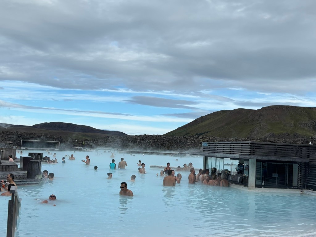
8/8 โ€” Blue Lagoon. Steam rising off milky blue-white water against a backdrop of black lava rock, even in August. It’s touristy, sure, but it earns the reputation.
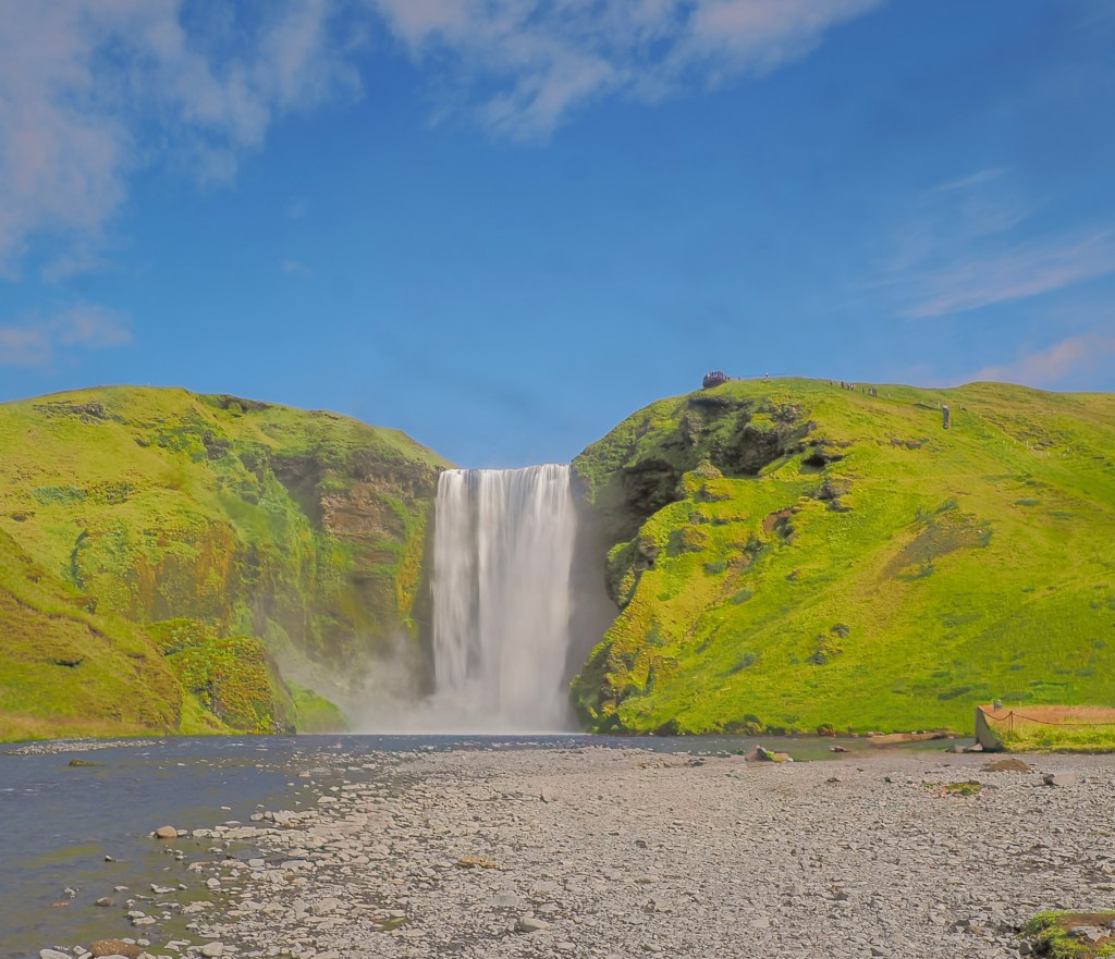
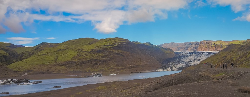
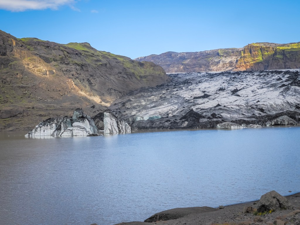
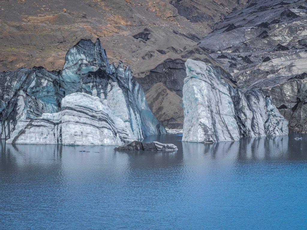
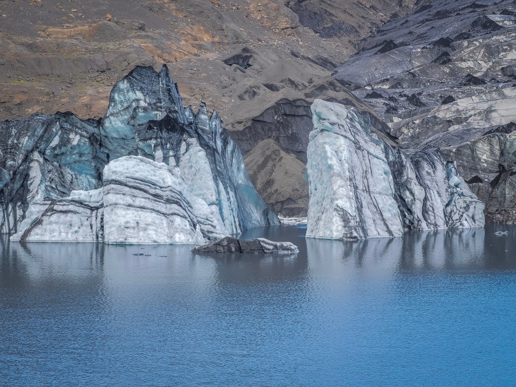
8/9 โ€” South Coast with Arctic Adventures. This was the day Iceland really opened up. We started at Skรณgafoss, and its sheer power was startling โ€” 60 meters of water thundering down, mist drifting over everything nearby, the roar constant enough to feel in your chest before you even see the falls properly. From there we drove to Sรณlheimajรถkull, a glacier tongue reaching down from the massive Vatnajรถkull ice cap, where the ice ran in striking black-and-white stripes โ€” dark bands of volcanic ash buried under successive snowfalls, each one a frozen record of an old eruption. Standing next to it felt like standing before something still actively reshaping itself.
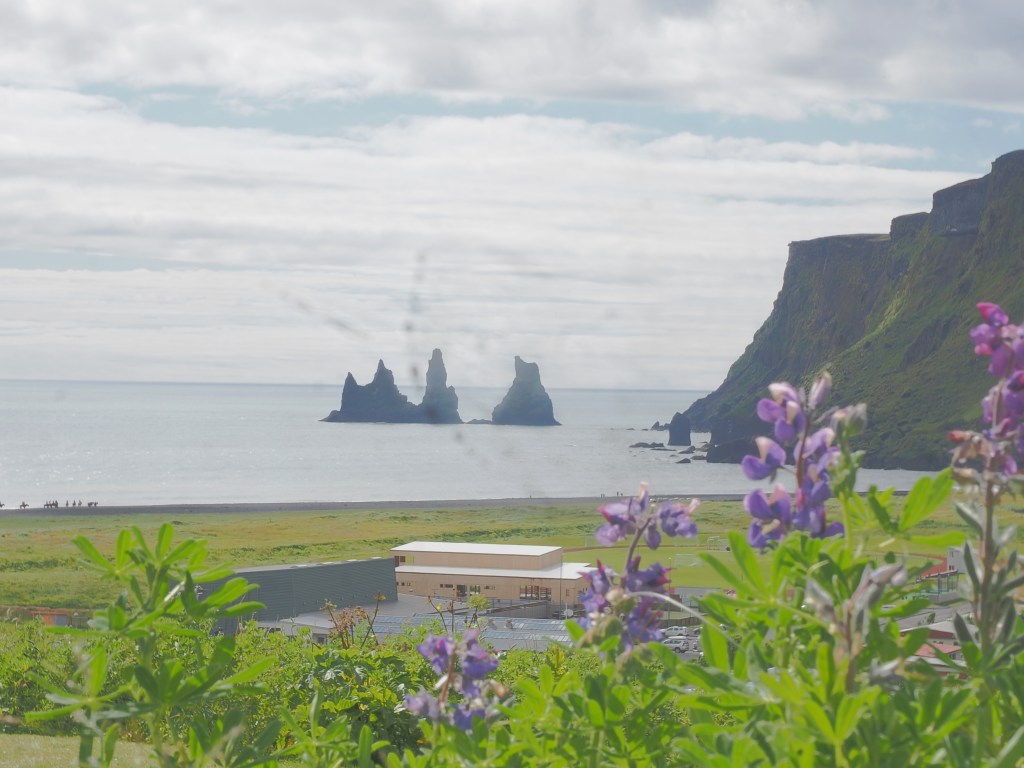
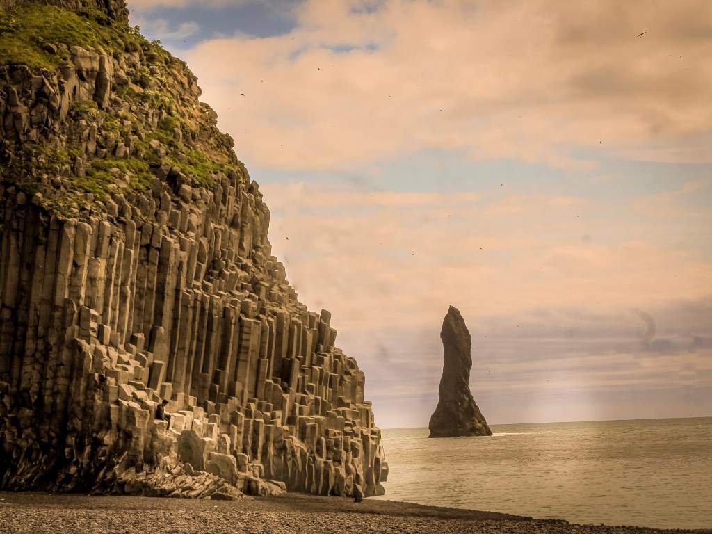
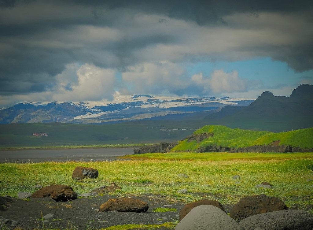
We rolled through Vรญk รญ Mรฝrdal, a small village balanced between cozy and dramatic, with a church perched on the hill above and a food truck doing brisk business in crepes that we didn’t have time to queue for. Just past it, Reynisfjara black sand beach delivered our first puffins of the trip โ€” dozens of them darting in and out of the basalt columns above the shore, enough that we spent more time chasing puffin shots than admiring the famous Reynisdrangar sea stacks. From the beach we could also make out two glacier-capped volcanoes in the distance โ€” Mรฝrdalsjรถkull, hiding the notoriously active Katla underneath, and glimpses of Eyjafjallajรถkull, whose 2010 eruption grounded flights across Europe. Ice and fire, side by side, right there on the horizon.

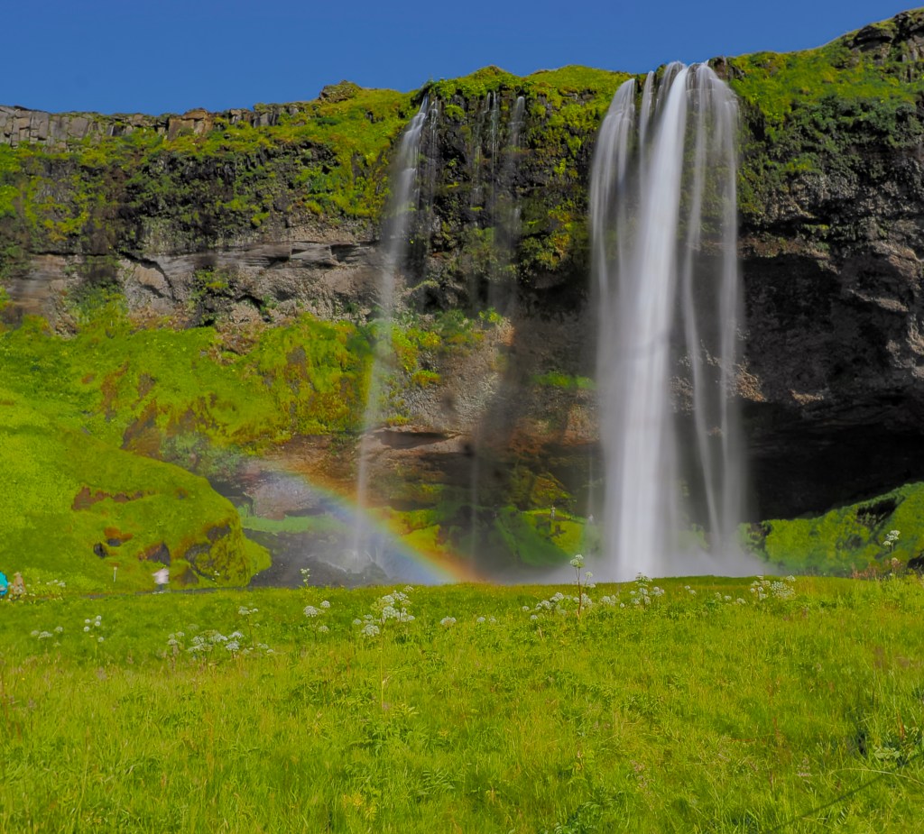
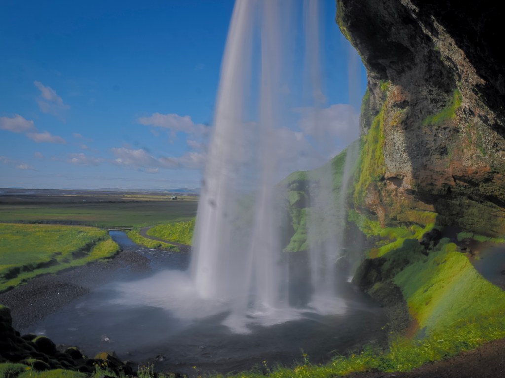
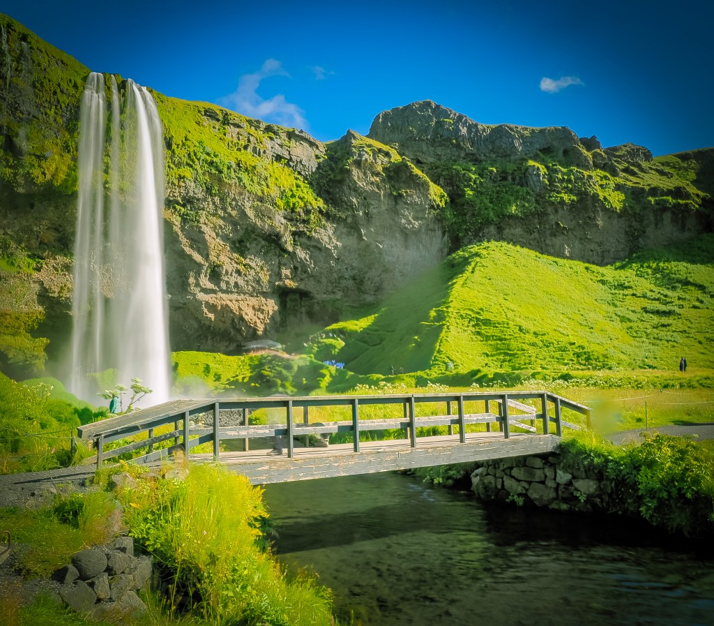
We saved Seljalandsfoss for last, on our guide’s advice, since you can walk behind it and expect to get wet. Standing behind that curtain of water with the afternoon sun throwing little rainbows through the mist was one of those moments that’s hard to describe and easy to remember.

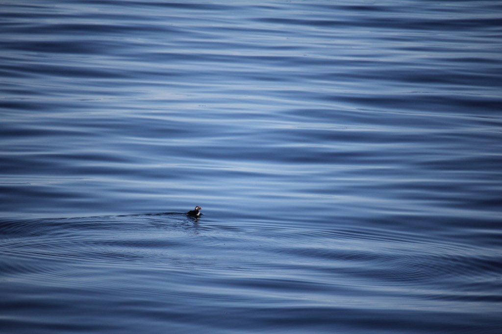
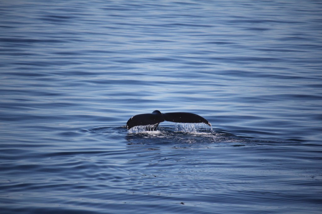
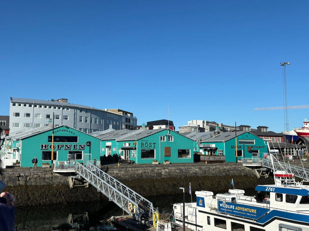
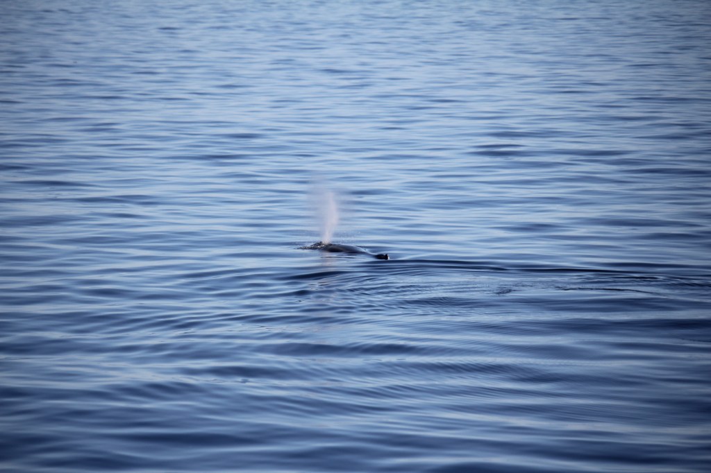
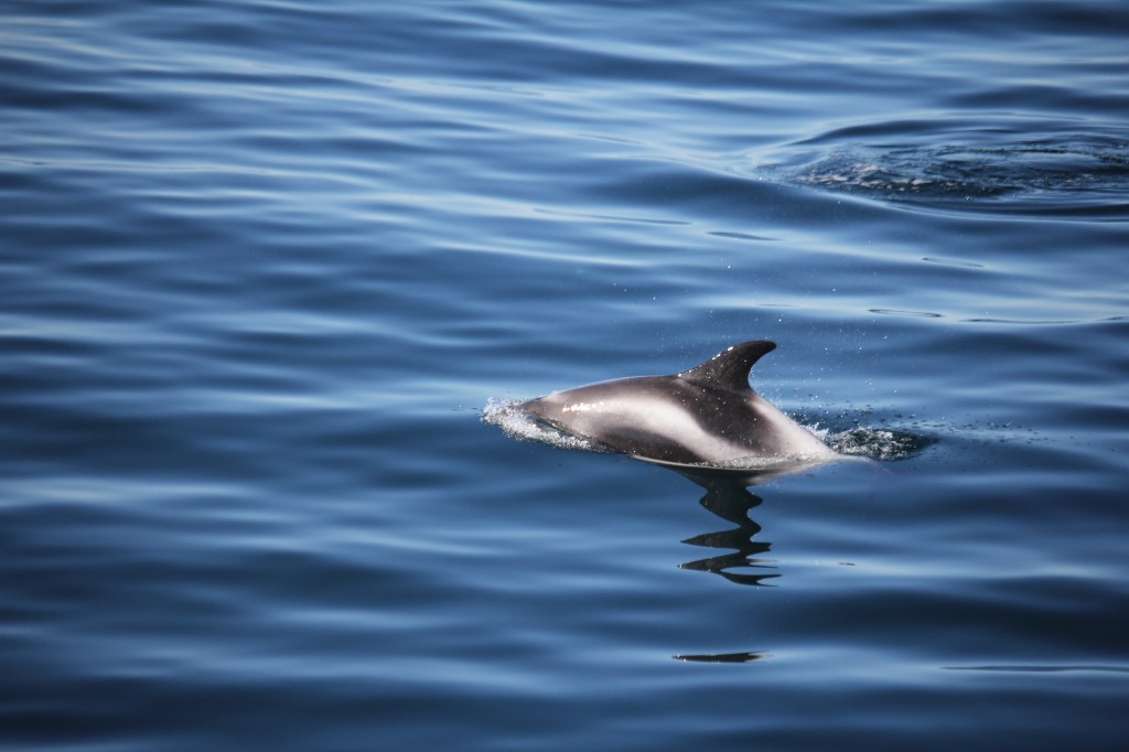
8/10 โ€” Whale watching, out of Reykjavik harbor, before boarding the ship that afternoon. We were able to see lots of puffins, pod of dolphins as well as hump back whales
Boarding the Viking Mars

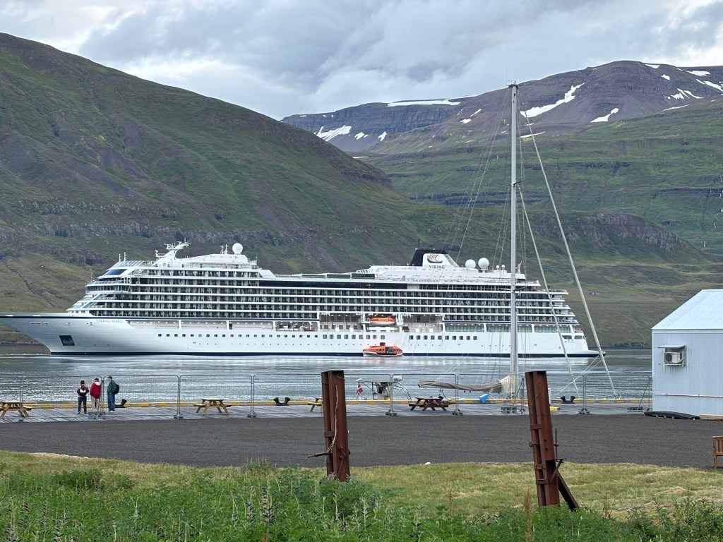
That afternoon we boarded the Viking Mars for the “Natural Treasures of Iceland” itinerary โ€” a full circumnavigation of the island, port to port, counter-clockwise around the coast.

A few first impressions, for anyone considering Viking: it’s an adults-only line (18+), and it shows in the atmosphere โ€” quiet, unhurried, no kids underfoot. The ship itself is clean in a way that borders on clinical, understated Scandinavian design rather than flashy resort styling, and it never once felt crowded despite carrying around 900 passengers.

That number mattered more to us than we expected. This was our first time on a big ocean ship. We’ve cruised before โ€” a 16-passenger yacht through the Galรกpagos and a roughly 100-passenger boat down the Nile โ€” and the jump in scale changed the whole feel of the experience. Smaller ships put you right up against the destination; you’re inches from wildlife, docking wherever a smaller boat can fit. A 900-passenger ship is a different kind of trip entirely โ€” more like a floating hotel that happens to move overnight, with the destination arriving to you each morning rather than the other way around. Neither is better, but they’re not really comparable experiences, and it’s worth knowing that going in.

Around the Island

8/11 โ€” Westman Islands (Heimaey): Our first scheduled stop was supposed to be Heimaey, and we’d been looking forward to it in part because of the puffins โ€” but the weather had other plans. Conditions were too rough to land safely, so the ship never docked, and we spent the whole day out at sea instead, puffin count for the day: zero. A genuinely disappointing miss, and an early reminder that a circumnavigation runs on the ocean’s schedule, not yours.

8/12 โ€” Djรบpivogur: This quiet fishing village turned out to be the launch point for one of the best days of the entire trip โ€” a drive out to Jรถkulsรกrlรณn Glacier Lagoon and Diamond Beach. It started raining before we’d even left port, and I’d basically made peace with a gray, muted day. Then we arrived and it didn’t matter.

The lagoon isn’t one solid ice sheet โ€” it’s hundreds of broken chunks scattered across still, dark water, some nearly clear, some a deep glacial blue, some streaked black and white where volcanic ash had folded into the ice over centuries. Jรถkulsรกrlรณn is actually Iceland’s deepest lake, connected to the Atlantic by a short tidal channel, which is the only reason Diamond Beach exists across the road โ€” smaller bergs drift toward the sea, break apart near the channel mouth, and wash back up on the black sand looking exactly like scattered diamonds. The gray sky, if anything, made it better โ€” flattening the light just enough that the blues in the ice seemed to glow from within instead of glaring under direct sun.

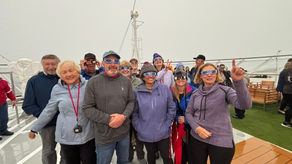
The eclipse we didn’t see: As it happened, we picked possibly the most inconvenient day possible for gray skies โ€” August 12, 2026 was Iceland’s first total solar eclipse since 1954, and the first visible from Reykjavรญk in nearly 600 years. The path of totality only swept across the western side of the island (the Westfjords, Snรฆfellsnes, Reykjavรญk, and the Reykjanes Peninsula), so from our position on the east coast at Djรบpivogur we would have only caught a deep partial eclipse at best โ€” the sun more than 95% covered rather than fully blocked. Even that modest show never materialized for us; the same cloud cover that made the glacier lagoon glow so beautifully also kept the sky flat and gray through the eclipse window that afternoon. A strange bit of cosmic bad luck to pair with genuinely great glacier photography.
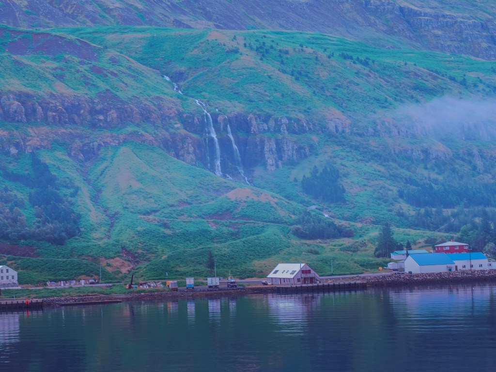
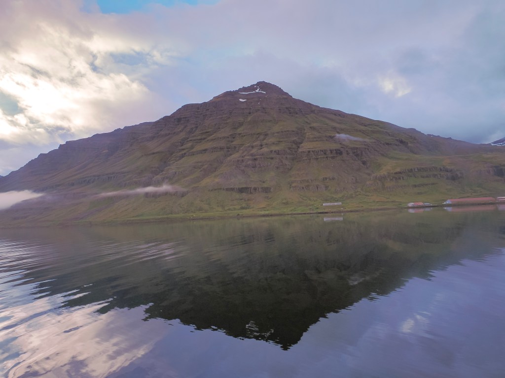
8/13 โ€” Seyรฐisfjรถrรฐur: We woke up to the ship easing into the fjord and immediately understood why this town is considered the most photographed in East Iceland. A waterfall โ€” Bรบรฐarรกrfoss โ€” sits practically built into the skyline above town, and after two rainy days in a row, we finally got sun. We took the first tender to beat the crowds and just wandered.

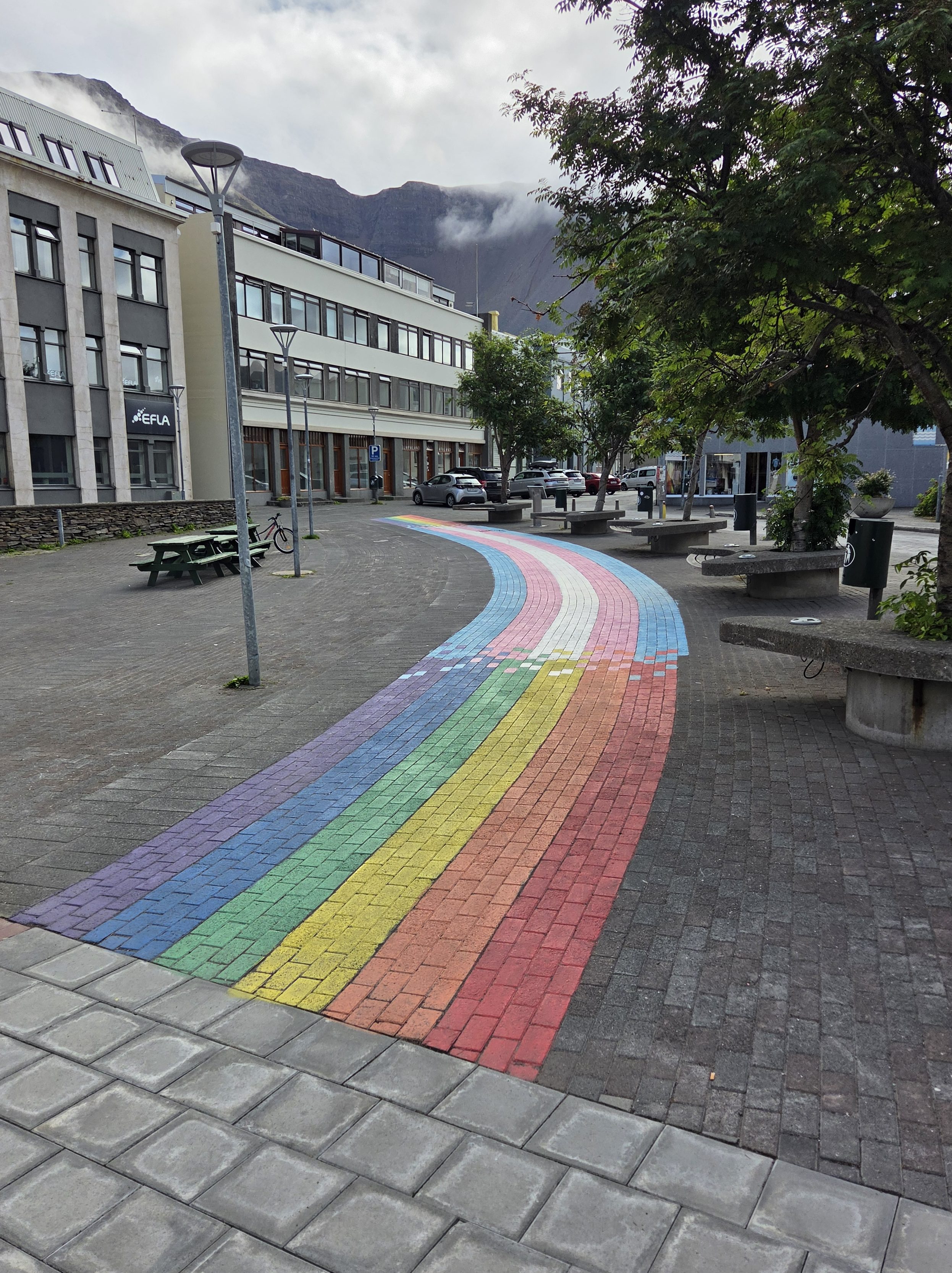
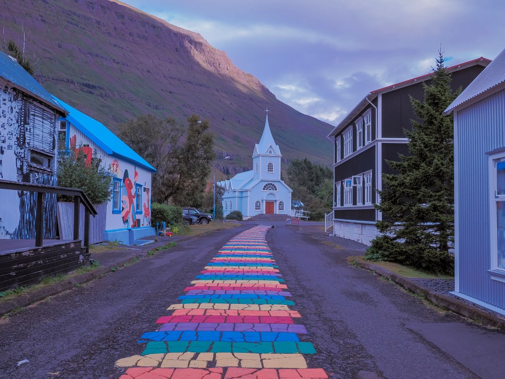
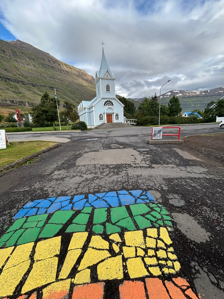
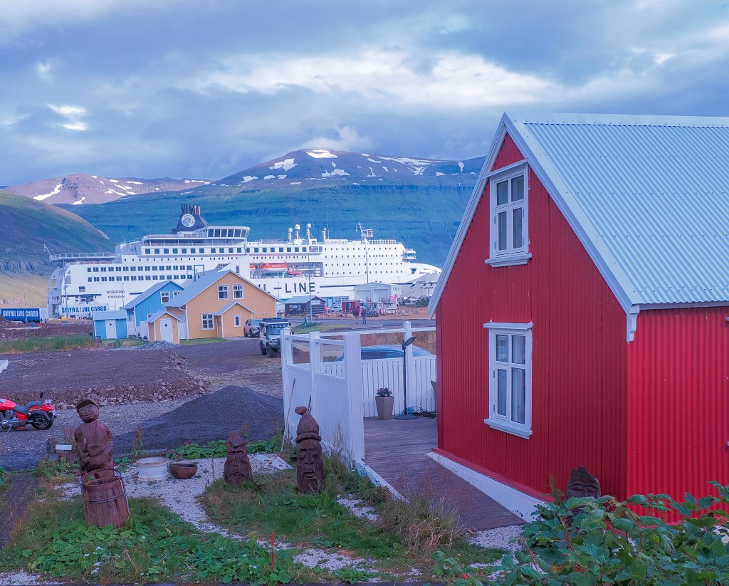
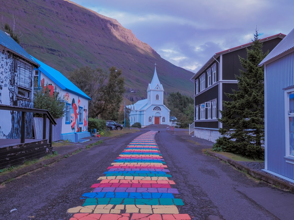
The signature shot here is Norรฐurgata, the rainbow-painted street leading straight up to a vivid blue church built in Norway in 1894 and shipped over in pieces โ€” which explains the Norwegian timber architecture running through the whole town. Seyรฐisfjรถrรฐur has a real creative streak too, anchored by the Skaftfell Art Center and the Tvรญsรถngur sound sculpture, five concrete domes tuned to Iceland’s tradition of five-tone harmony. It’s also the arrival port for the Smyril Line ferry from the Faroe Islands and Denmark โ€” we watched a whole line of RVs roll off a ferry docked nearby, a strange, fun contrast to how small and colorful the town otherwise felt.
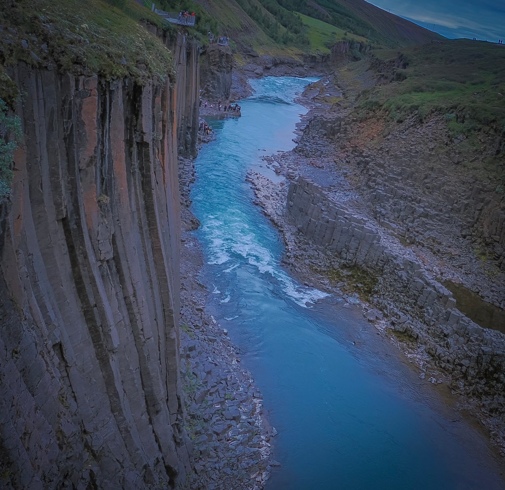
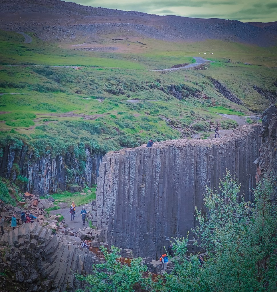
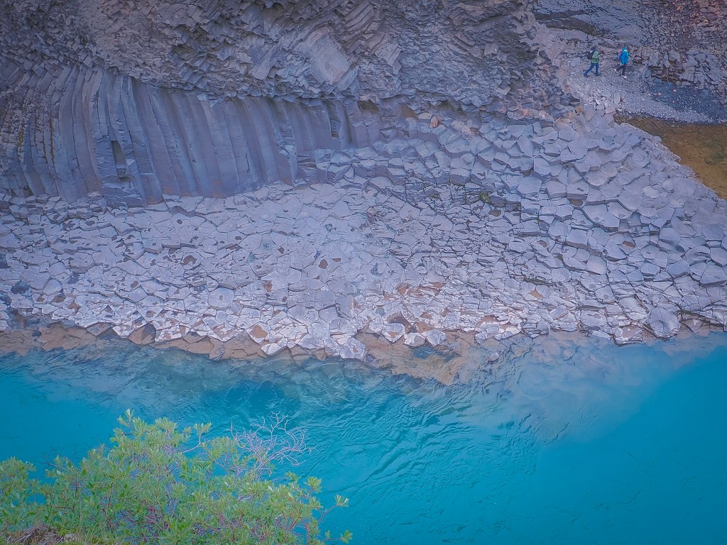
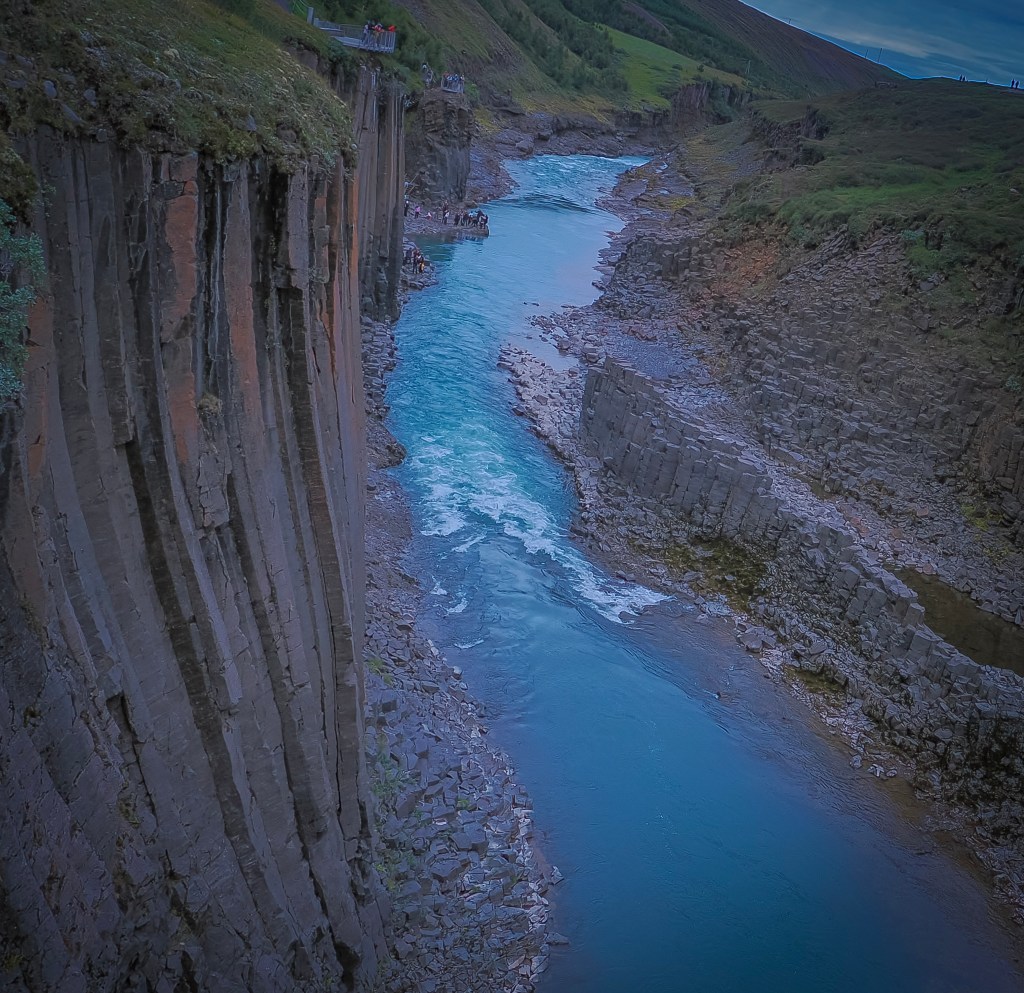
From there we booked a day tour inland toward Stuรฐlagil Canyon, stopping first at Gufufoss (a broad curtain of water over black basalt) and Rjรบkandafoss (a multi-tiered cascade where I finally caught an Icelandic sheep posing perfectly on a rock at the edge of the falls). Stuรฐlagil itself was the real payoff โ€” tightly packed hexagonal basalt columns rising straight out of a glacial river running an almost unreal turquoise. The canyon was hidden under the Jรถkla River for centuries until a hydropower project in the mid-2000s dropped water levels and exposed it; local shepherds didn’t even find it until 2016. We visited the west-side viewpoint, the quicker option via a short staircase โ€” the east side offers better views but requires a much longer hike, so plan for it on a return trip with more time.
8/14 โ€” Akureyri: Our shore excursion here turned into a full loop through the Mรฝvatn / Diamond Circle region โ€” Dimmuborgir, Nรกmaskarรฐ (Hverir), Lake Mรฝvatn, and the Skรบtustaรฐagรญgar pseudo-craters, all in one day. This is the only tour we booked with Viking (Natural tressures of North Iceland). The rest of the trips were done on our own, booked through Viator.

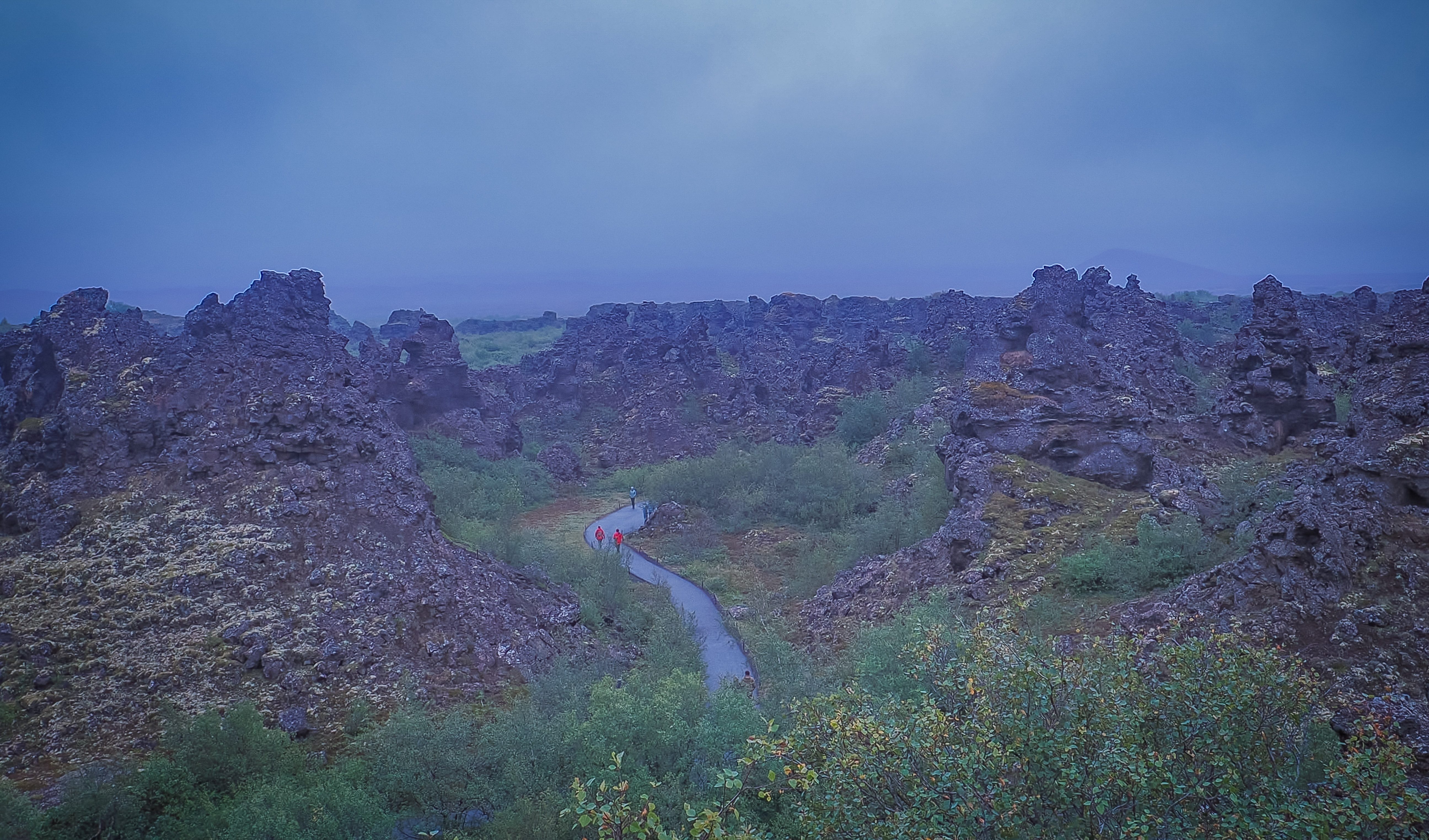
Dimmuborgir (“Dark Castles”) was easily one of the strangest landscapes of the whole trip โ€” a maze of hollow lava pillars and twisted arches up to 65 feet tall, formed about 2,300 years ago when a lava flow rolled over a lake and trapped steam blasted channels up through the cooling rock. It’s steeped in folklore too, said to be the home of Grรฝla, the troll of Icelandic Christmas tradition, and fans of a certain fantasy show will recognize it as the Wildling army camp beyond the Wall.

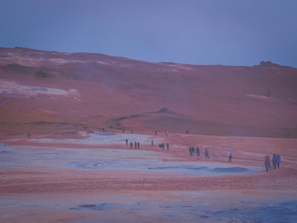
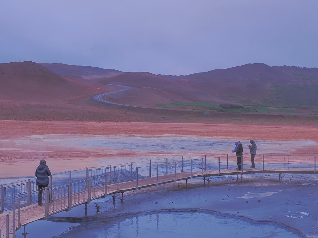
From there we hit Hverir (Nรกmaskarรฐ), a barren, sulfur-stained stretch locals nickname the Devil’s Kitchen โ€” hissing steam vents, bubbling gray mud pots, and ground streaked yellow and orange from mineral deposits, with zero hiking required to be right in the middle of it. Surprisingly, this spot has a genuine military history: sulfur mined here supplied a share of the gunpowder used across medieval and early modern Europe, until the Danish Crown took control of the deposits in the 16th century.
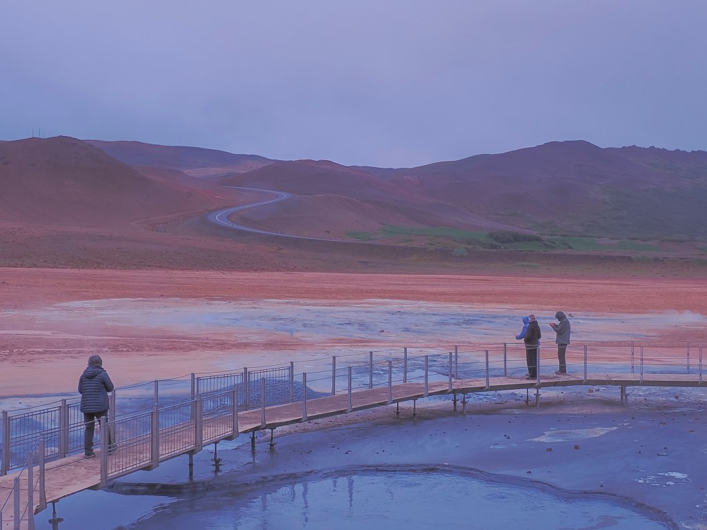
We closed the loop with Lake Mรฝvatn itself โ€” a shallow volcanic lake ringed by pseudocraters and rich birdlife, swans included โ€” under a steady rain that somehow suited the otherworldly terrain. We skipped Dettifoss, admittedly, on the theory that we’d already seen seven or eight waterfalls by that point in the trip and needed a break.

8/15 โ€” รsafjรถrรฐur: Our final port before heading back, and one of the most memorable of the whole cruise thanks to a last-minute change of plan.
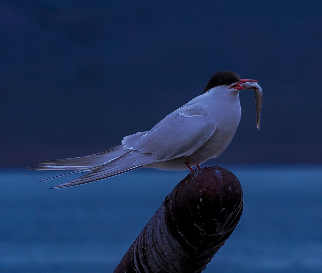
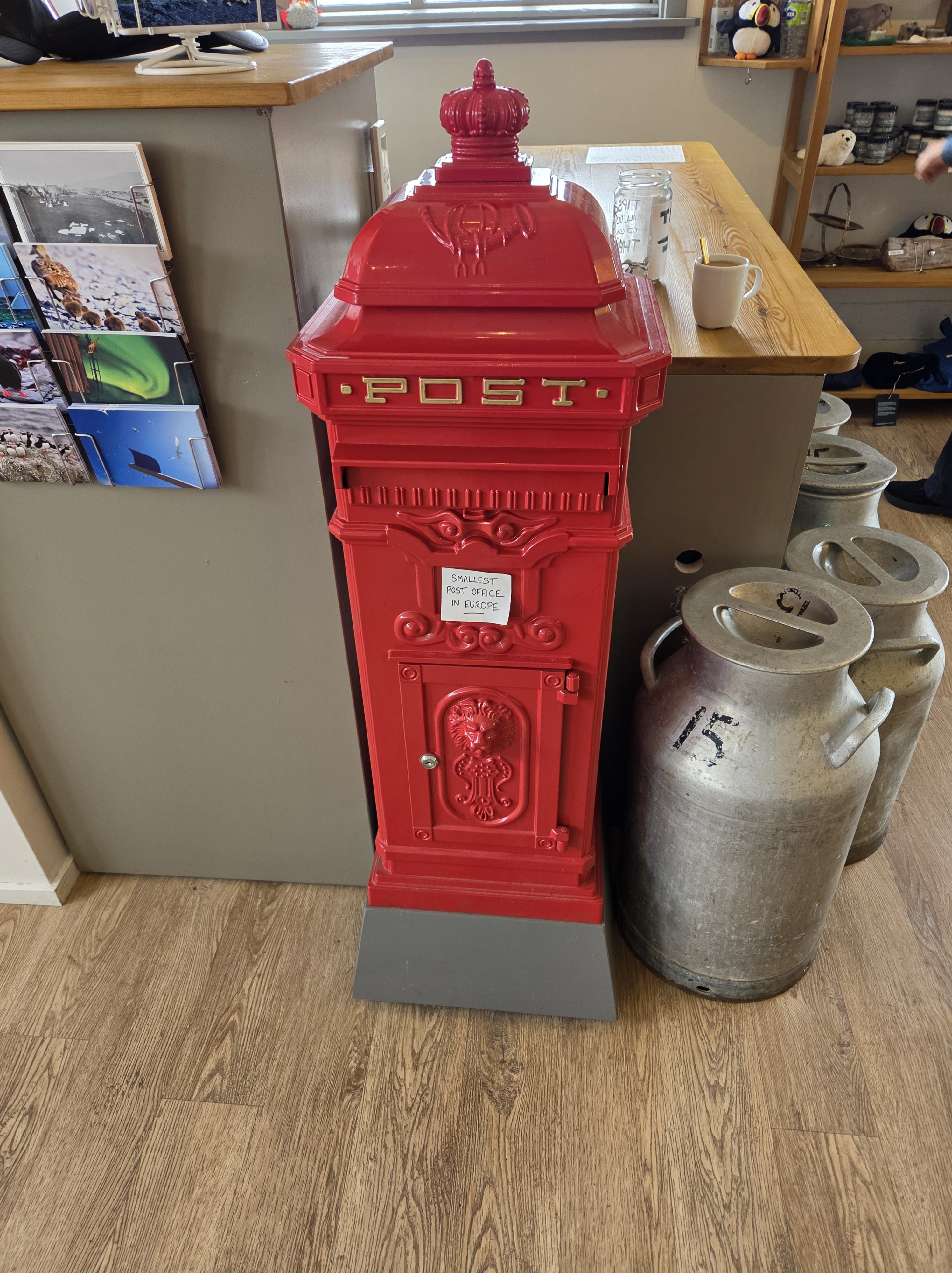
We’d originally booked a tour to Dynjandi Waterfall, but a couple of nights earlier I stumbled on a puffin tour to Vigur Island instead โ€” and since we’d struck out on puffins at Heimaey, that sealed it. A 30-minute boat ride out into รsafjarรฐardjรบp fjord brought us to a tiny island that’s home to just one family and roughly 100,000 puffins. The current owner, Felicity Aston, is a British polar explorer who in 2012 became the first woman to ski solo and unassisted across Antarctica; she and her husband now run Vigur as a working eider farm, sustainably harvesting the down the ducks naturally shed after nesting season. We walked the “Puffin Path,” a boardwalk built with National Geographicโ€“Lindblad Expeditions that lets you get remarkably close to the burrows, while Arctic terns nesting alongside the trail dive-bombed anyone who got too close for comfort. We finished with a slice of Hjรณnabandssรฆla, a traditional rhubarb “marriage cake,” and mailed postcards from what claims to be Europe’s smallest post office.

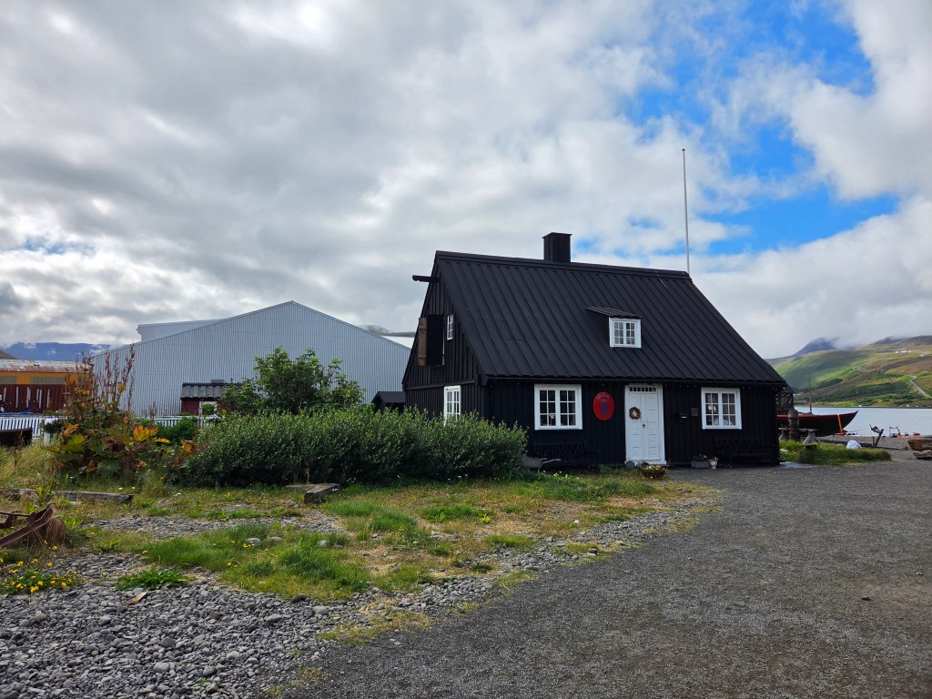
Back in town, we spent the afternoon wandering Neรฐstikaupstaรฐur, รsafjรถrรฐur’s old harbor district of colorful timber trading houses dating to the 1700s, before heading back to the ship.

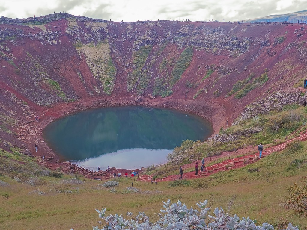
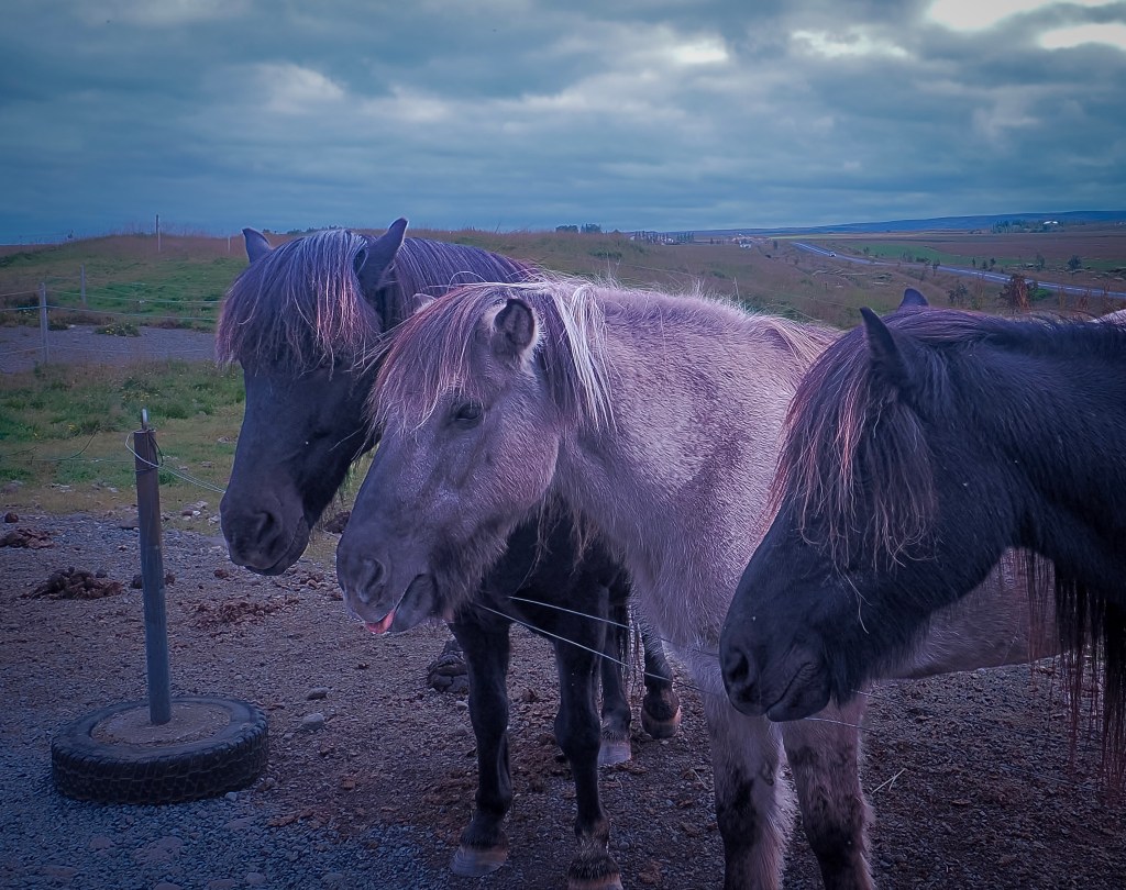
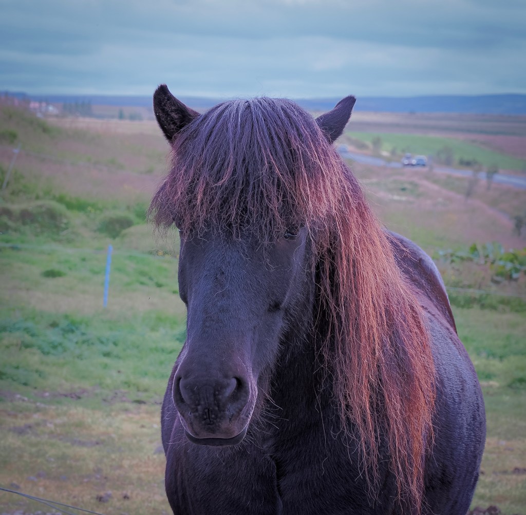
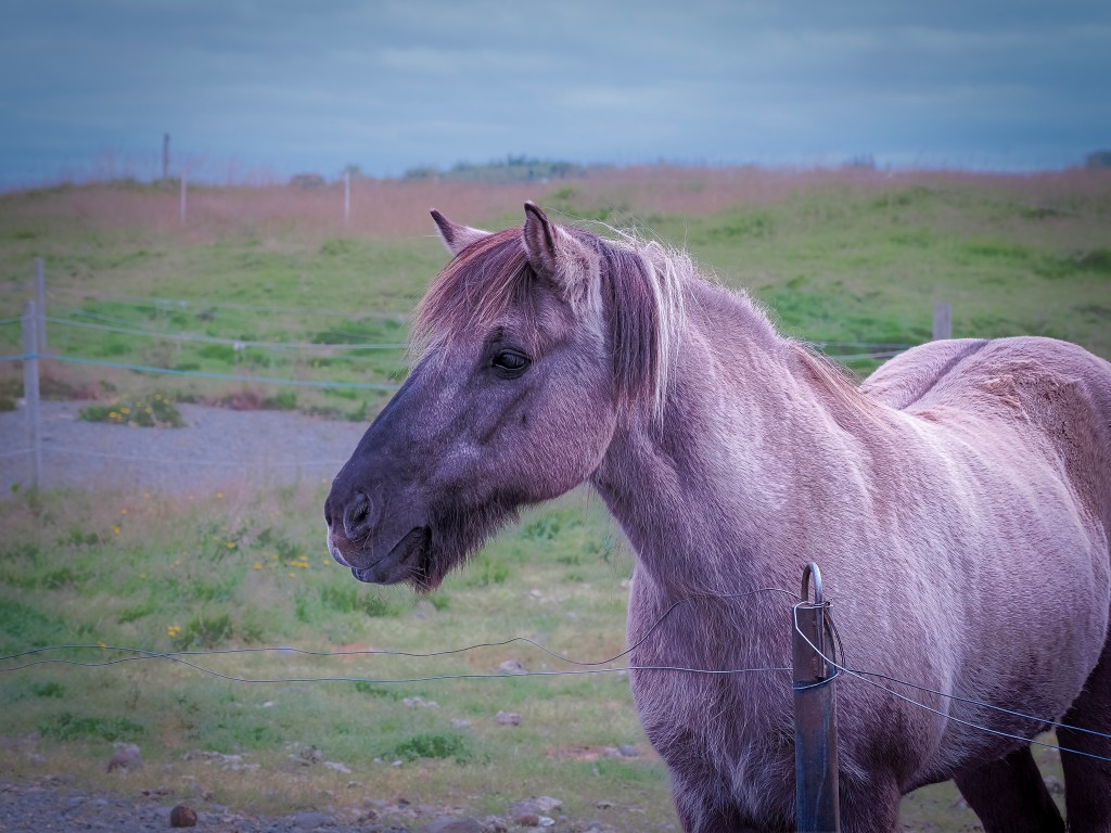
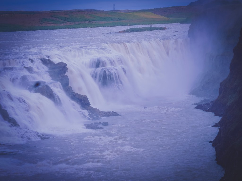
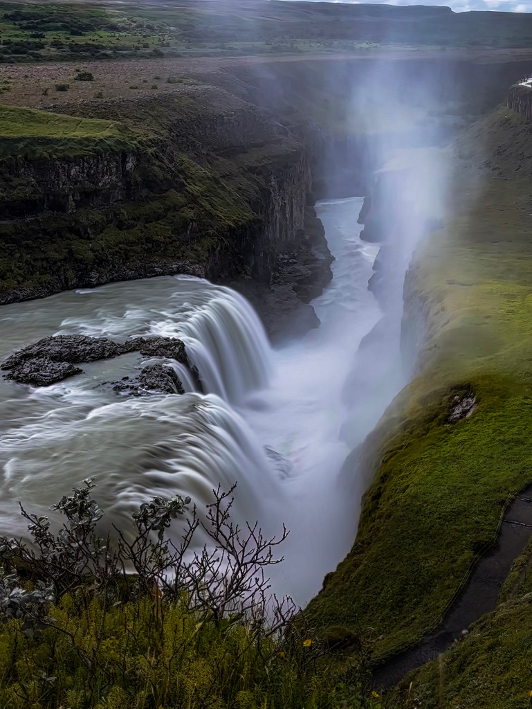
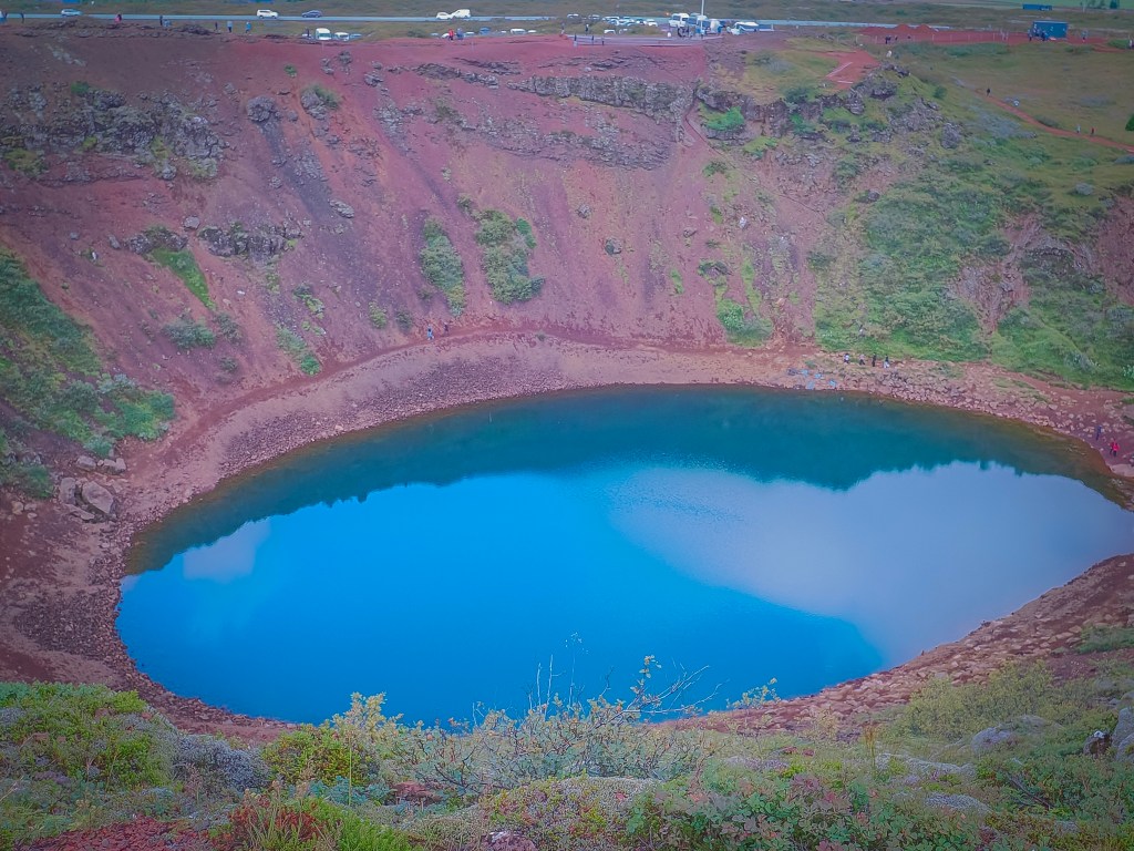
8/16 โ€” Back to Reykjavik: With a full day back in port before disembarking, we squeezed in a Golden Circle tour โ€” Iceland’s other classic loop. We started at Keriรฐ, a volcanic crater nicknamed “The Eye of the World,” its blue-green lake ringed by deep red volcanic rock. An unplanned stop to feed Icelandic horses turned into one of the most quietly joyful parts of the day. From there we hit Gullfoss, the two-tiered “Golden Waterfall” plunging 105 feet into its canyon, and Strokkur geyser, erupting every four to ten minutes and giving us plenty of chances to catch it mid-burst. We closed the loop at รžingvellir National Park, walking through the rift valley where the Eurasian and North American tectonic plates are visibly pulling apart โ€” also the site of Iceland’s first parliament, so history and geology share the same ground.
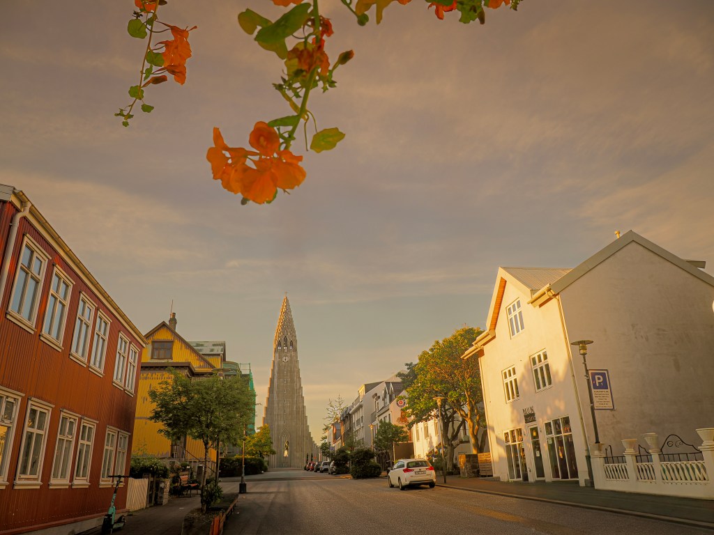
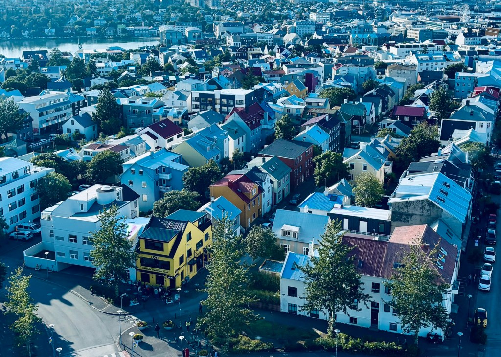
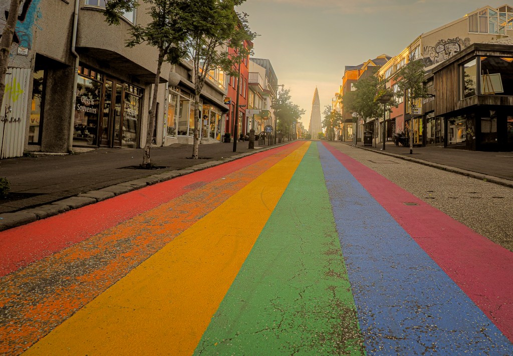
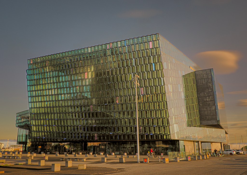
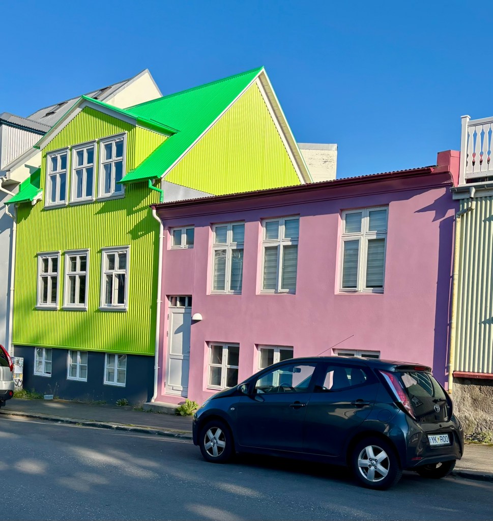
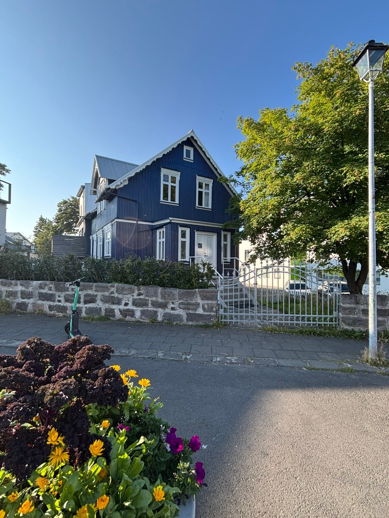
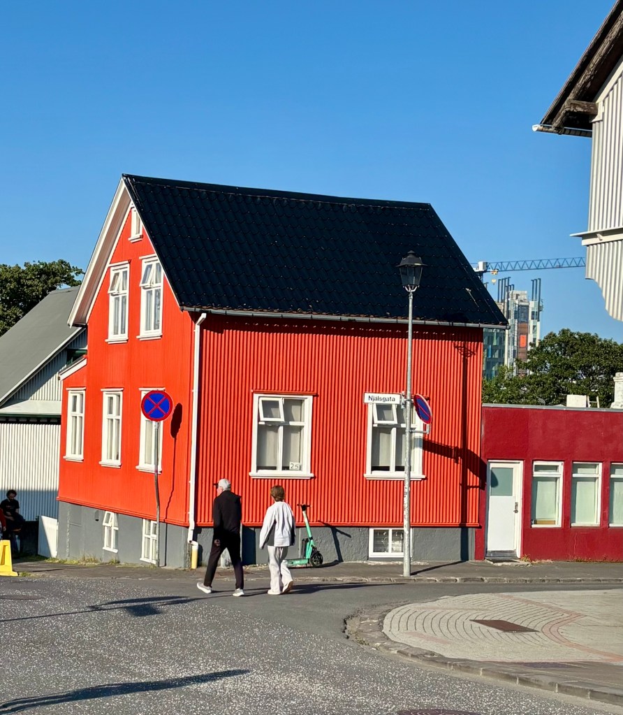
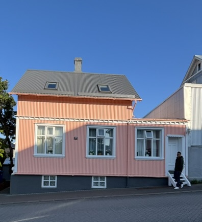
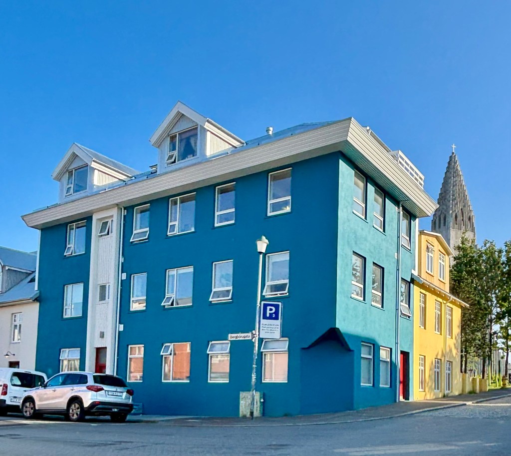
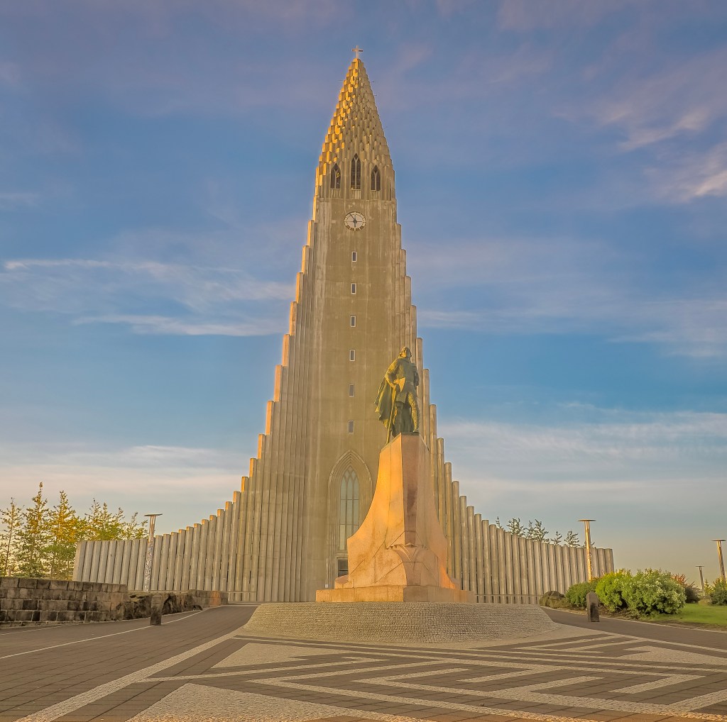
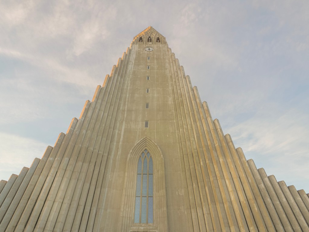
We also carved out time to properly photograph Reykjavik itself, something we hadn’t expected to prioritize. Hallgrรญmskirkja’s 73-meter tower โ€” its ribbed concrete facade deliberately echoing the hexagonal basalt columns found around the island โ€” dominates the skyline from nearly every angle, and the elevator ride to the top delivers a sweeping view over the city’s candy-colored rooftops down to the harbor. Right at its base, the rainbow-painted Skรณlavรถrรฐustรญgur leads the eye straight up to the spire. Down by the water, Harpa concert hall was a genuine standout โ€” its honeycomb of individually shaped glass panels, inspired by those same basalt columns, throws shifting color and light across the interior depending on where you stand. We also caught the Sun Voyager sculpture at golden hour, and spent a happy hour just wandering residential streets lined with houses in lime green, bubblegum pink, and deep teal.

Life Aboard

We had a couple of rough days at sea โ€” the North Atlantic isn’t the Caribbean โ€” but nothing that ruined the trip; the Mars handled the swells better than we expected for a first-time cruiser on open ocean.

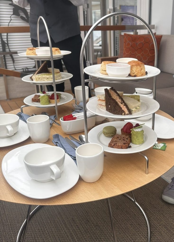
Most of our dinners were at The Restaurant, the ship’s main dining venue, which was consistently good without ever feeling like it was trying too hard. But if there was one unexpected highlight of the whole onboard experience, it was high tea โ€” a proper, unhurried afternoon ritual that became something we looked forward to every sea day.
Disembarking (8/17)

We got off the ship on the 17th having circled an entire country by water, missed one port to weather, and eaten more pastries at high tea than we’d like to admit. Between the glacier lagoon at Djรบpivogur, the rainbow street at Seyรฐisfjรถrรฐur, the lava fields around Akureyri, and the puffins of Vigur Island, this circumnavigation delivered on its “Natural Treasures” name in a way that consistently surprised us โ€” the misses (Heimaey) stung, but the trip more than made up for it elsewhere. For a first big-ship cruise, the Viking Mars set a high bar โ€” upscale without being stuffy, and well suited to a destination like Iceland, where the scenery does most of the work anyway.
Photographing Reykjavik: Rainbows, Basalt, and a City Built for the Camera

Reykjavik surprised me. I’d come to Iceland chasing waterfalls and glaciers, but the capital turned out to be its own kind of photographic playground โ€” a city of candy-colored rooftops, one unmistakable spire, and a concert hall that behaves less like a building and more like a living kaleidoscope. If you only have a day to wander with a camera, here’s where I’d send you.

Hallgrรญmskirkja: The Church You Can’t Miss (And Shouldn’t Try To)

No matter where you are in Reykjavik, Hallgrรญmskirkja finds you. Its 73-meter tower rises above the rooftops from almost every angle, and honestly, that’s by design. Iceland’s state architect, Guรฐjรณn Samรบelsson, drew the church in 1937, wanting a building that could only exist hereโ€”one that echoed the hexagonal basalt columns found at places like Svartifoss and the black sand beaches along the coast. Look at the facade, and you can see it immediately: the ribbed concrete columns fan outward from the central tower exactly like cooling lava does in nature.

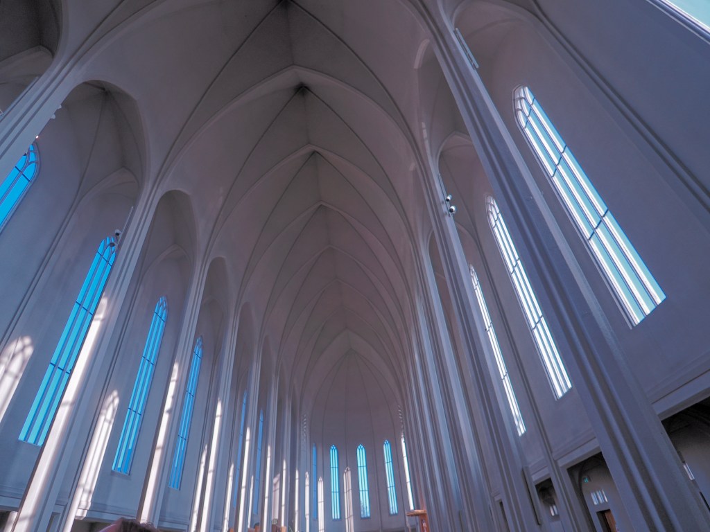
Construction didn’t come easy. Work began in 1945, and the church wasn’t fully consecrated until 1986โ€”a 41-year build that outlived its architect, who died in 1950 before seeing it finished. That patience shows in the details, especially inside, where soaring Gothic-arched ceilings and tall blue-tinted windows funnel light down the nave in a way that feels almost otherworldly. I spent a good chunk of my day just standing in that long, vaulted side corridor, watching how the light shifted along the stone with every step.

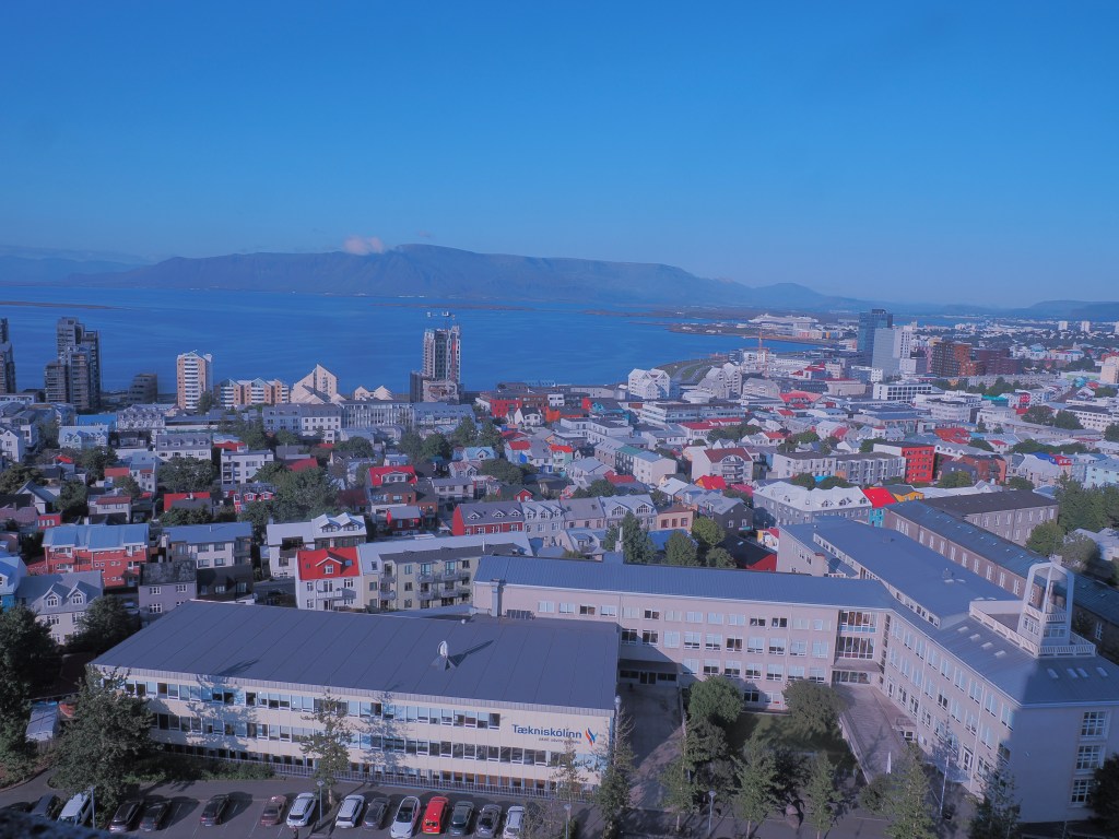
Climbing the tower is non-negotiable, in my opinion. The elevator ride up rewards you with a sweeping, rooftop-level view of the entire city โ€” Reykjavik’s colorful houses laid out like a quilt, the harbor and Harpa glinting in the distance, and the sea stretching out beyond it all. It’s the kind of shot that makes you understand the whole city’s layout in a single frame.

Skรณlavรถrรฐustรญgur: The Rainbow Street

Right at the foot of the church runs Skรณlavรถrรฐustรญgur, better known to photographers as simply the “rainbow street.” A wide painted rainbow runs down the middle of the road, leading your eye straight up the hill to Hallgrรญmskirkja’s spire framed perfectly at the end. It’s a genuinely iconic shot, and one of those rare tourist spots that’s just as fun to photograph in golden evening light as it is in the flat gray of an overcast afternoon โ€” the colors practically pop out of the pavement either way. The street itself is lined with shops, cafes, and street art, so it’s worth slowing down here rather than just grabbing the one obligatory photo and moving on.
Harpa: A Building Made of Northern Lights

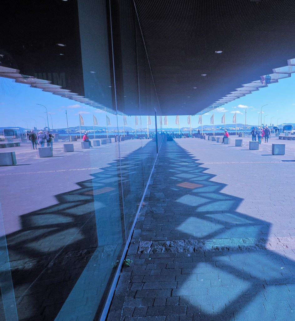
If Hallgrรญmskirkja is Reykjavik’s soul, Harpa is its shimmer. This concert hall and conference center sits right on the harbor, and it might be the single most photogenic interior I’ve ever wandered through โ€” I genuinely could have spent an entire day inside just chasing geometric patterns of light and shadow.

Harpa’s story starts in the mid-2000s, when Danish firm Henning Larsen Architects won the commission, teaming up with Icelandic-Danish artist ร“lafur Elรญasson to design its facade. Construction began in January 2007 โ€” just months before Iceland’s economy collapsed in the global financial crisis โ€” which stalled the project for years before it finally opened in 2011. The name means “harp” in Icelandic, chosen from more than 4,000 public submissions, and it is also the old word for early spring, a fitting symbol of brighter days after the crash.

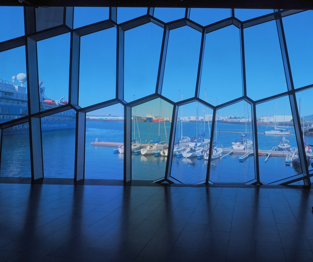
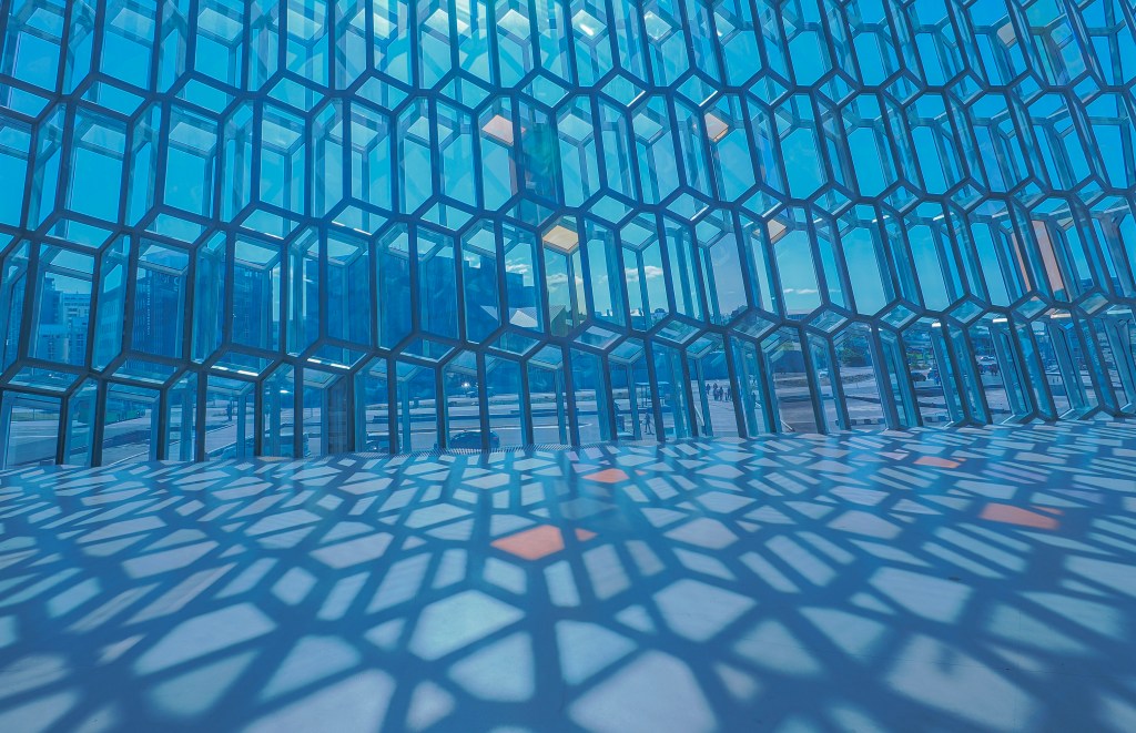
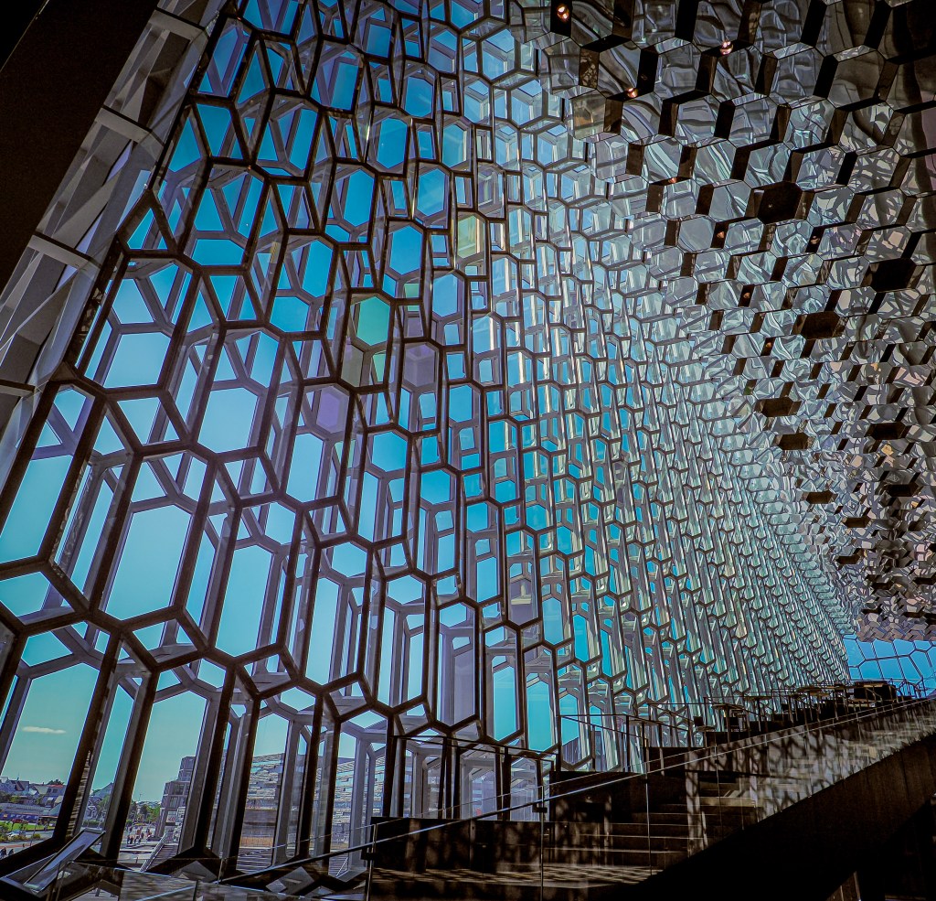
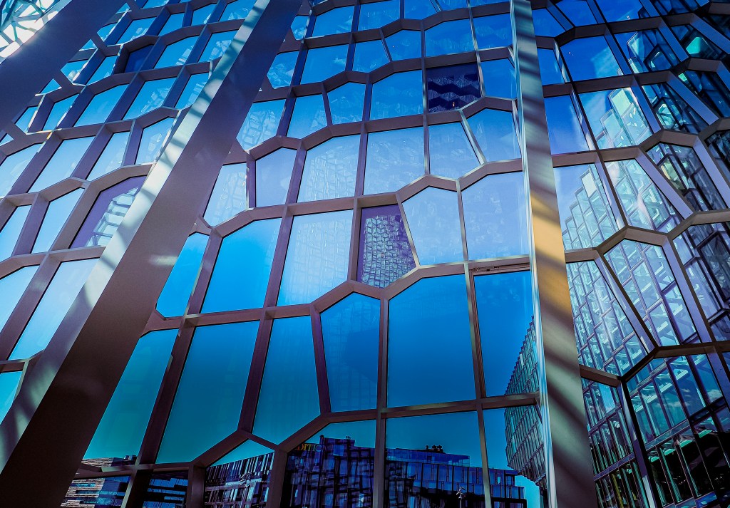
What makes the building so mesmerizing is its facade: thousands of individually shaped, colored glass panels arranged in a honeycomb-like pattern Elรญasson called the “quasi brick,” directly inspired by Iceland’s basalt column formations. No two panels are quite the same, and the whole structure shifts color and mood depending on the light, the weather, or simply where you’re standing. Step inside and the effect multiplies โ€” hexagonal steel framing crisscrosses overhead, throwing blue and gold reflections across the floor, while the wall of windows frames the harbor and the boats bobbing just outside. It’s no surprise Harpa won the EU’s Mies van der Rohe Prize for contemporary architecture in 2013. Every angle inside offers a completely different composition, and I’d genuinely recommend wandering the foyer with your camera and letting the architecture do the work.

The Sun Voyager

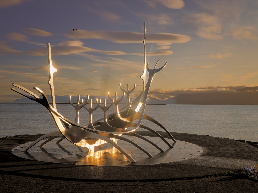
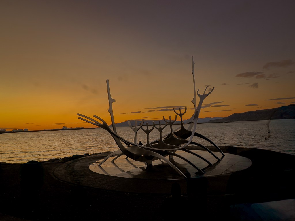
Down along the waterfront, not far from Harpa, stands the Sun Voyager โ€” a sleek stainless steel sculpture shaped like a ship’s skeleton, with long, upswept lines that catch the light beautifully at sunrise and sunset. It’s meant to represent a dream boat, an ode to the sun, and it photographs like pure poetry when the sky behind it turns gold or fades into that deep post-sunset blue. If you’re chasing golden hour anywhere in the city, this is the spot.

Just Wander: The Colorful Houses of Reykjavik

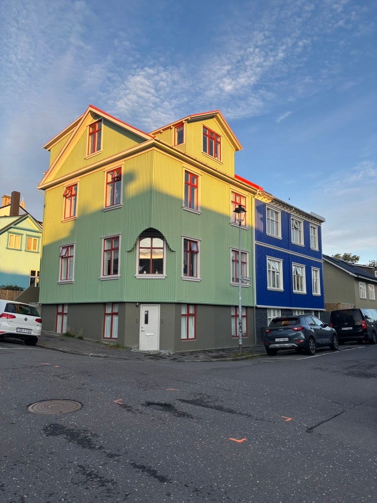
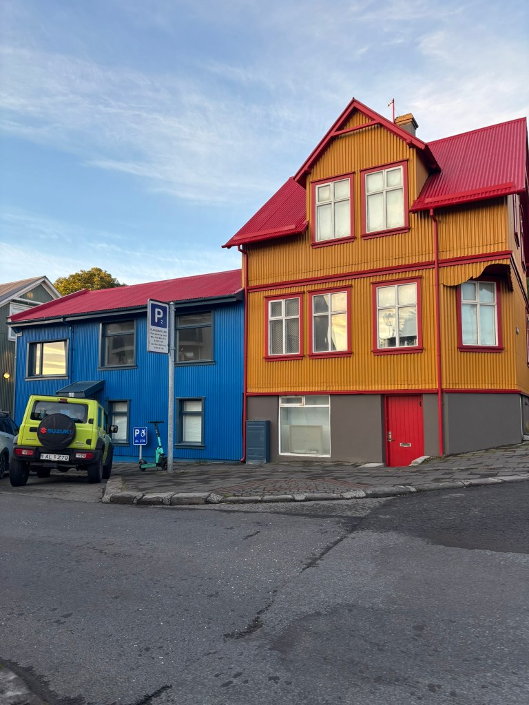
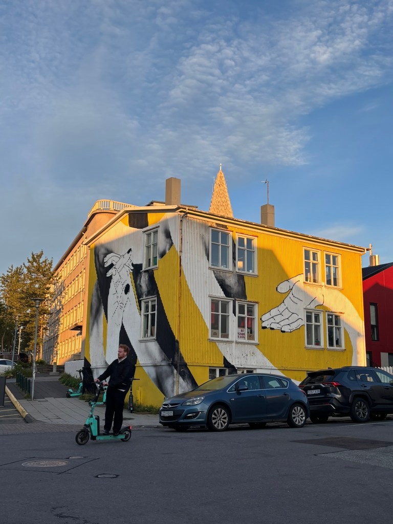
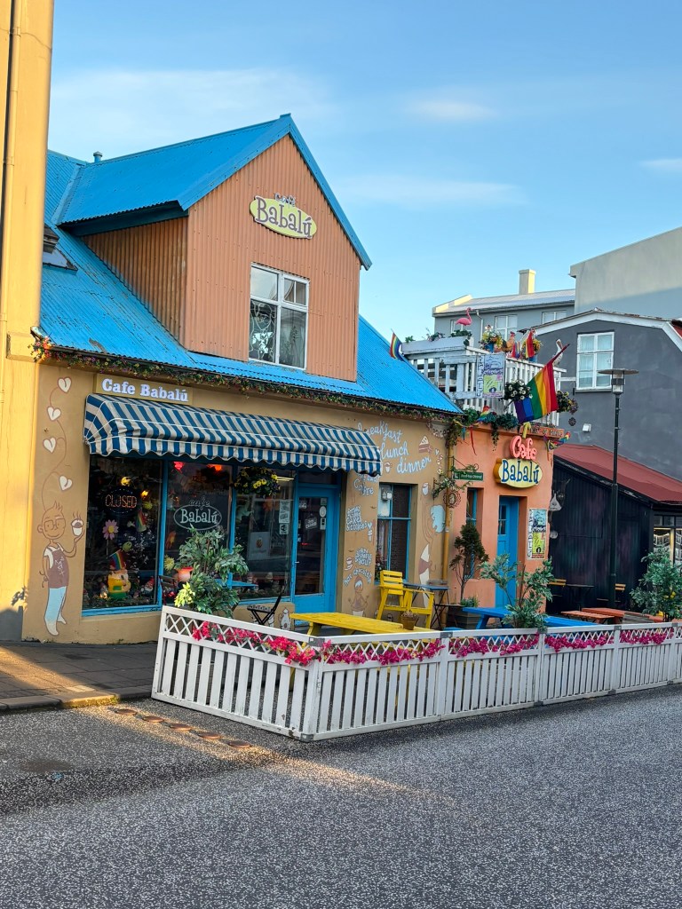
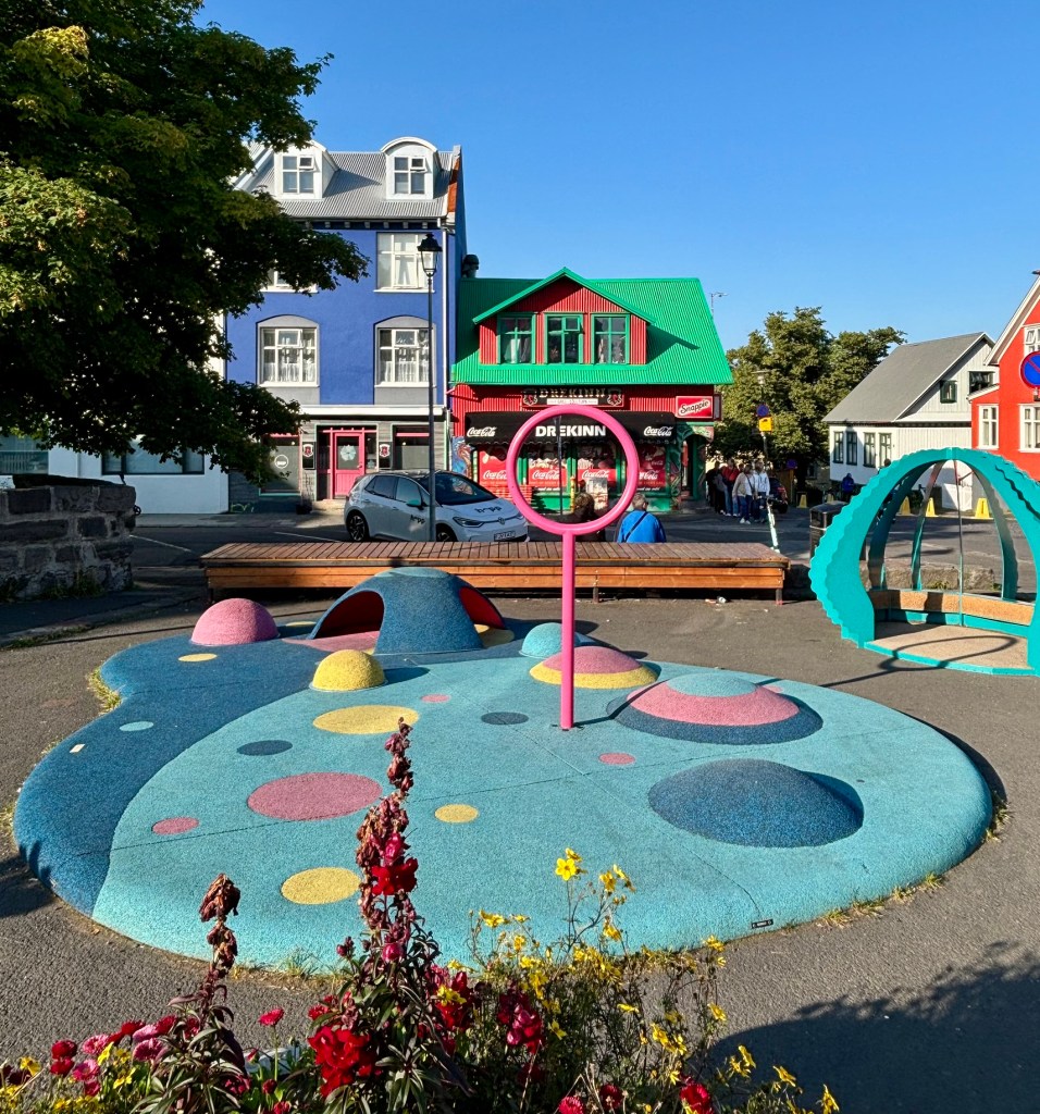
Honestly, some of my favorite shots of the day weren’t at any “named” landmark at all โ€” they came from simply wandering the residential streets. Reykjavik’s houses are a patchwork of corrugated metal siding painted in candy colors: lime green, bubblegum pink, mustard yellow, fire-engine red, deep teal. Turn down almost any side street, and you’ll find another unexpected combination glowing under the pale Icelandic sky. Cafรฉs like Babalรบ add their own eccentric charm to the mix, with murals, flags, and rooftop flamingos piled onto an already-colorful building. There’s no itinerary needed here โ€” just good light, comfortable shoes, and a willingness to get a little lost.

Final Thoughts

I went into Reykjavik expecting a stopover between the “real” Icelandic scenery, and left with a full memory card of city photographs I hadn’t planned for at all. Between Hallgrรญmskirkja’s basalt-inspired spire, Harpa’s ever-shifting glass, the rainbow street tying them together, and the quiet joy of colorful houses around every corner, Reykjavik turned out to be one of the most rewarding places I photographed on the entire trip. If you’re a photographer heading to Iceland, don’t treat the capital as a formality โ€” give it a full day.
The Golden Circle: Craters, Geysers, a Rift Between Continents, and Hidden Gems

If the South Coast had shown us Iceland’s wild, watery side, the Golden Circle promised something different โ€” a day of geology, history, and a few delightful surprises tucked between the big-name stops. We set off from Reykjavik ready to see Iceland’s three most famous attractions: รžingvellir National Park, the Geysir Hot Springs, and Gullfoss Waterfall. But the extra stopsโ€”a volcanic crater and a quiet geothermal townโ€”ended up making the day feel like ours.

Keriรฐ Crater: The Eye of the World

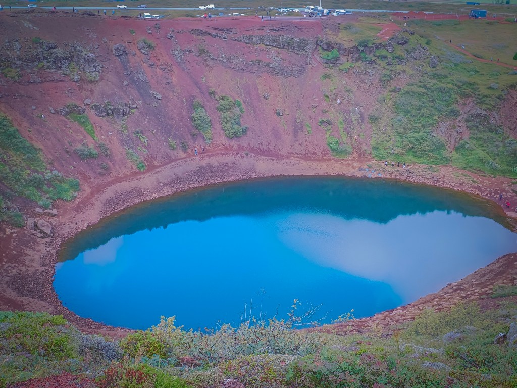
We started at Keriรฐ, a volcanic crater so striking it’s earned the nickname “The Eye of the World.” Formed more than 6,500 years ago when a volcanic eruption caused the ground to collapse in on itself, the crater now cradles a beautiful blue-green lake surrounded by deep red volcanic rock โ€” a combination of colors I genuinely wasn’t prepared for. Standing at the rim, with the crater stretching nearly 900 feet wide and its walls dropping almost 180 feet down to the water, I felt tiny in the best possible way. We took the short 20-minute walk around the rim, and every angle offered a slightly different, equally photogenic view โ€” the kind of place where you keep saying “just one more picture” and mean it every time.
A Quick Detour: Meeting the Icelandic Horses

Our second stop wasn’t on the map I’d expected, and it turned out to be one of my favorite parts of the day. We pulled up to a small horse farm to feed some Icelandic horses โ€” sturdy, shaggy, impossibly friendly animals with a gait and personality all their own. There’s something quietly joyful about hand-feeding a horse in the middle of the Icelandic countryside, mountains rolling out in every direction. It wasn’t flashy, but it was the kind of moment that sticks with you.

Gullfoss: The Golden Waterfall

From there, we made our way to Gullfoss, the “Golden Waterfall,” perched right at the edge of the Icelandic Highlands. Fed by the Langjรถkull glacier and carving through the canyon of the Hvรญta River, Gullfoss drops in two dramatic tiers, plunging 105 feet in total. Standing near the edge, watching the water seem to vanish into the canyon below, I understood immediately why this waterfall has captivated visitors for generations. It’s raw, powerful, and endlessly photogenic โ€” the kind of place that looks stunning no matter which direction you point your camera.

Geysir and Strokkur: Where Geysers Get Their Name

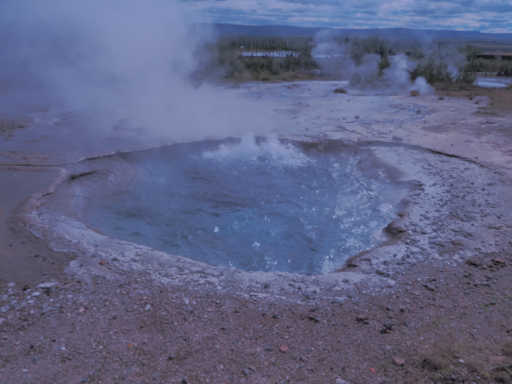
Next came the Geysir geothermal field, home to the geyser that literally gave all others their name. The original Geysir is dormant now, though it once held the record for the tallest geyser on Earth, shooting water up to 400 feet into the air. Thankfully, its “little brother” Strokkur was more than happy to perform โ€” erupting every 4 to 10 minutes, which gave us plenty of chances to catch it on camera. There’s a strange kind of anticipation that builds as you watch the pool bulge right before it bursts skyward; I found myself grinning like a kid every single time it went off.

รžingvellir: Standing Between Two Continents

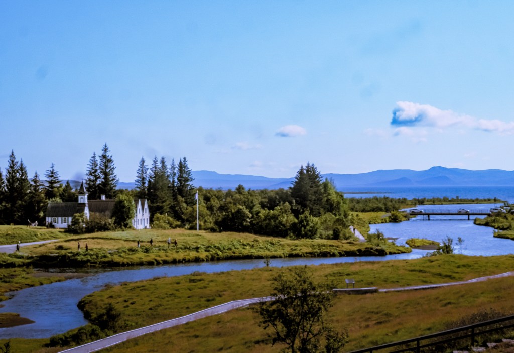
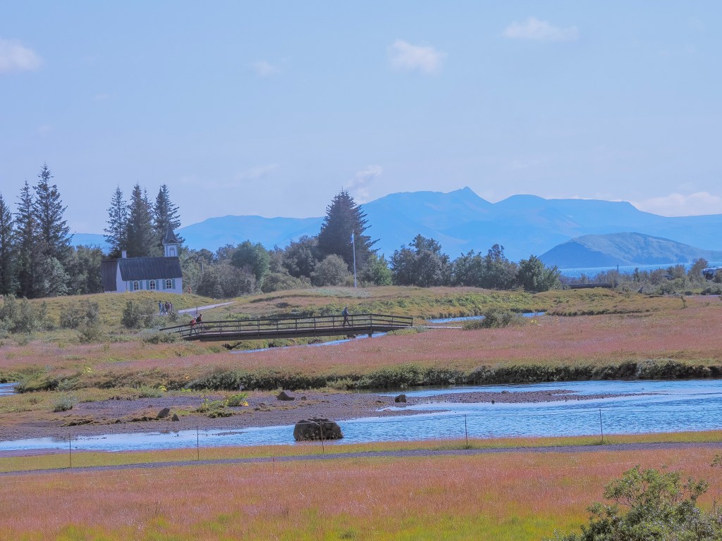
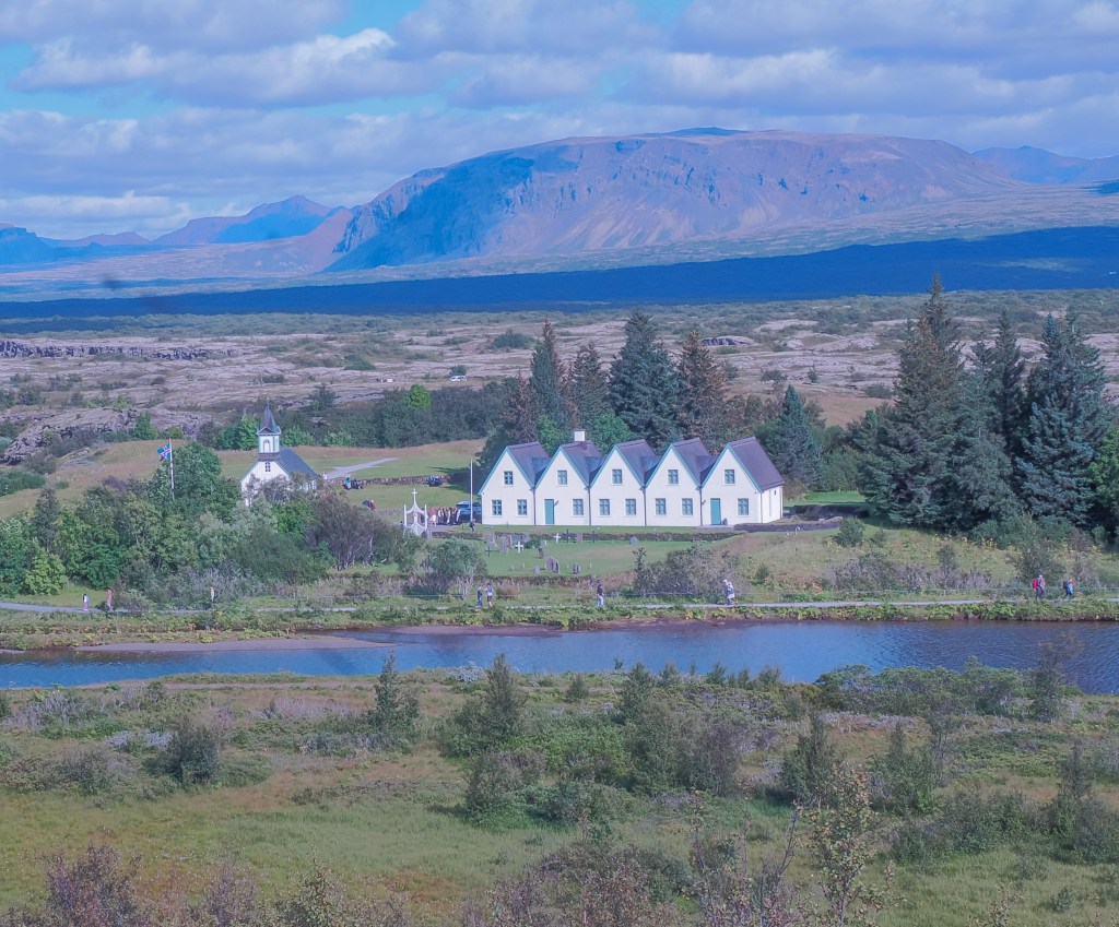
We closed the day at รžingvellir National Park, and it felt like the perfect place to end things โ€” equal parts natural wonder and living history. Walking into the rift valley here means literally standing in the space where the Eurasian and North American tectonic plates are pulling apart, a slow-motion process millions of years in the making. But รžingvellir carries just as much human history as geological drama: this is where Althing, Iceland’s first national parliament, was established, and where the Almannagjรก rift and the crystal-clear Silfra Fissure cut dramatically through the landscape, all set against the still waters of รžingvallavatn lake. Standing there, I couldn’t decide whether I was more struck by the geology or the history โ€” really, it was the combination of both that made it unforgettable.

Final Thoughts

The drive back to Reykjavik took just 40 minutes, but it felt like we’d traveled through several different worlds in a single day โ€” a volcanic crater, a horse farm, a thundering waterfall, an erupting geyser, and a rift between continents. The Golden Circle earns its reputation, but it was those unplanned little stops โ€” feeding horses in a quiet field, lingering an extra few minutes at Keriรฐ โ€” that reminded me why I love traveling slowly and leaving room for surprises.

South Coast Iceland: Seljalandsfoss, Skรณgafoss, Sรณlheimajรถkull & Vรญk

Our second day in Iceland began with an early start from Reykjavik, and honestly, I couldn’t wait. We’d heard so much about the South Coast โ€” that mesmerizing stretch where rugged coastlines meet towering glaciers, thundering waterfalls, and black sand beaches โ€” and I was ready to see it all for myself. Looking back, this ended up being one of my favorite days of the entire trip. We took this tour with Arctic Adventures.

Skรณgafoss: Nature’s Raw Power

We stopped first at Skรณgafoss, and this waterfall was pure, thundering power. Watching 60 meters of water plummet over the cliff’s edge was genuinely awe-inspiring โ€” the roar was constant, and the perpetual mist drifted over everything nearby. A staircase climbs to the top, and if you have time, I would definitely suggest going up to see the waterfall up close. Standing at the base first, though, feeling the force of it in my chest, was the real highlight. It’s one thing to see a waterfall in photos; it’s another to feel it.

Skรณgafoss is a Game of Thrones filming location! It appears in the Season 8 premiere, where Jon Snow and Daenerys Targaryen land near the base of the waterfall during their dragon flight and share a quiet moment together. The thunderous 60-meter cascade framed their romantic moment, making it a fan-favorite filming location. It’s also shown up in other productions โ€” Thor: The Dark World and History Channel’s Vikings

Sรณlheimajรถkull: Ice That Feels Alive

If I had to pick one favorite moment from the day, it might be our stop at Sรณlheimajรถkull, a glacier tongue reaching out from Iceland’s massive Vatnajรถkull Glacier. Nothing quite prepares you for the otherworldly blue hues of the ice or the intricate crevasses carved into it over time. Standing there, surrounded by this frozen, rugged landscape, I felt like I’d stepped into another world entirely โ€” one that’s constantly shifting and reshaping itself. It really put into perspective just how dynamic and alive Iceland’s glacial landscapes still are.

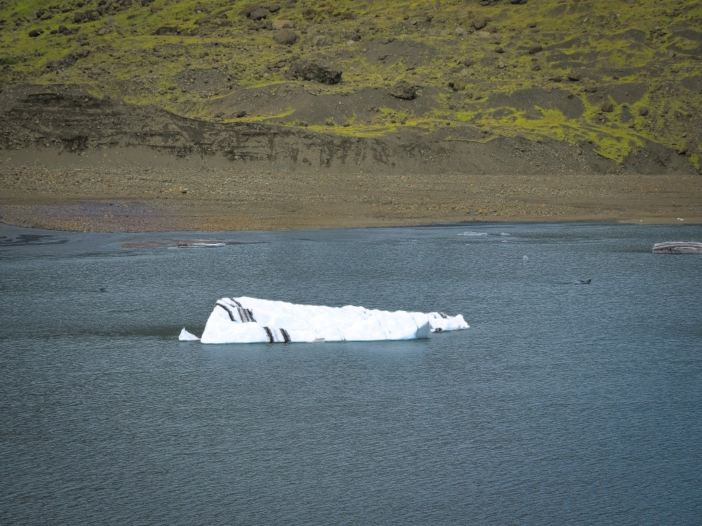
I have seen a few other glaciers, but this one stood out for me because of the black-and-white striped ice chunks. These dark layers form when volcanic eruptions dust the glacier’s surface with ash, which then gets buried under subsequent snowfallโ€”each stripe a frozen record of Iceland’s volcanic past. Calved from the retreating glacier and set loose to drift and melt, this small iceberg is a quiet, sobering reminder of just how fast this landscape is changing.

Vรญk: A Village on the Edge of the World

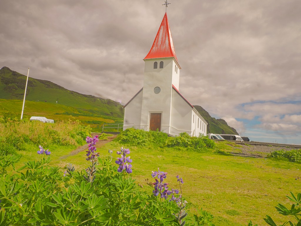
Continuing east, we arrived in Vรญk รญ Mรฝrdal, a small, charming village that somehow feels both cozy and dramatic at the same time. Its black-sand beaches and the iconic Reynisdrangar sea stacks stretch along the coastline, while a quaint little church sits perched on a hill above the village, watching over everything below.

A very popular food truck makes crepes in the town center. A long line of people stood in front of it. We didn’t have time to stop, but it would have been a great lunch stop.

Reynisfjara: The Black Sand Beach

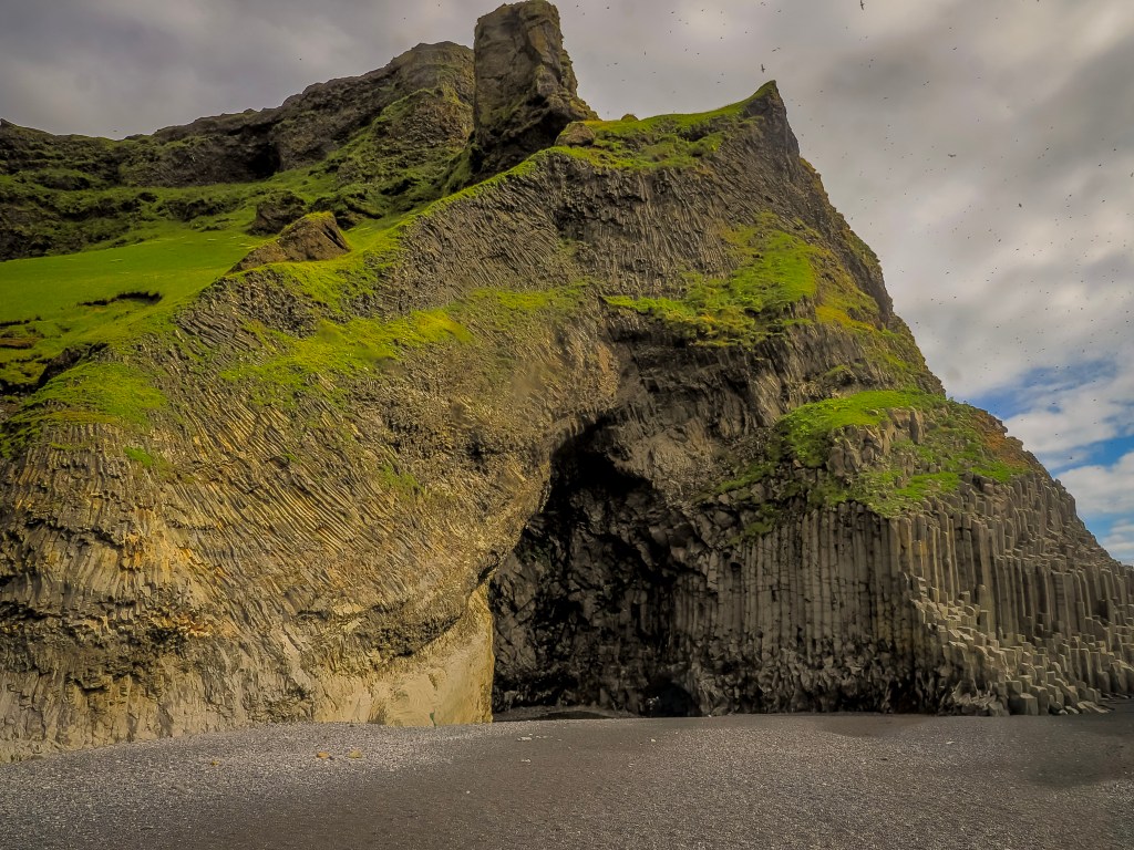
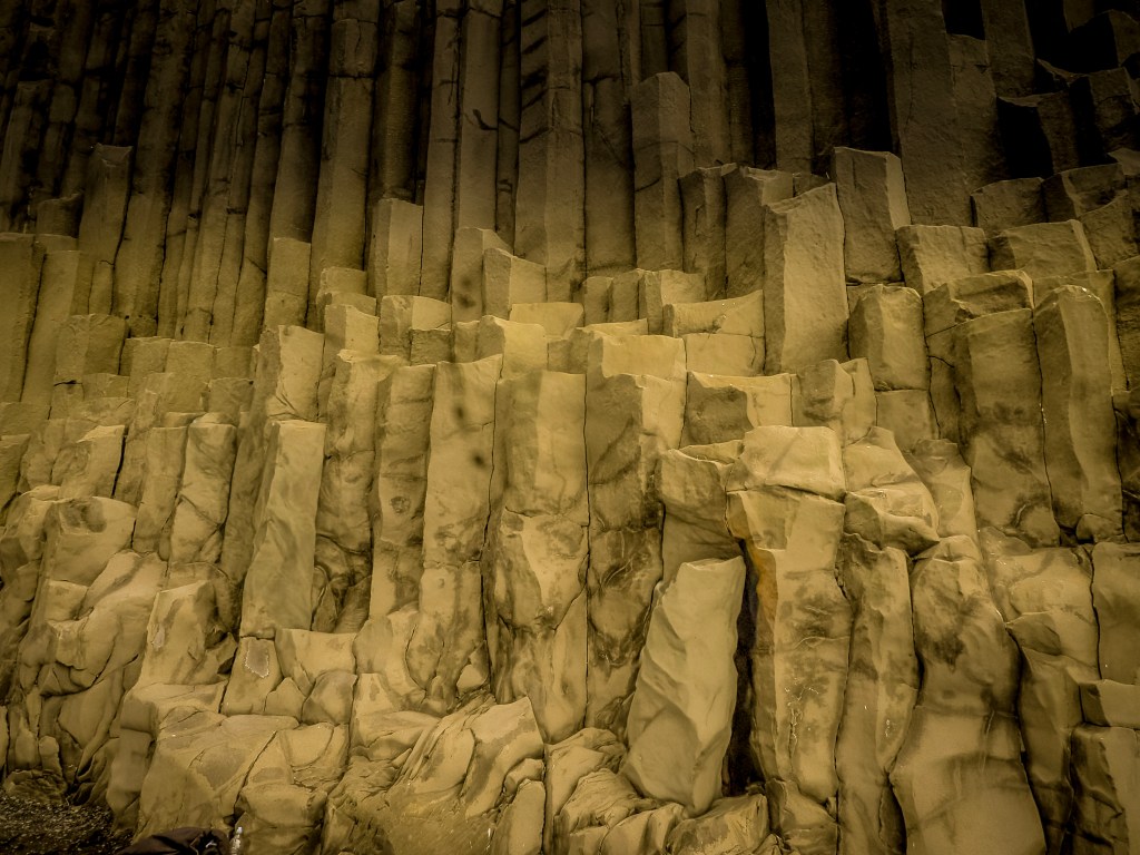
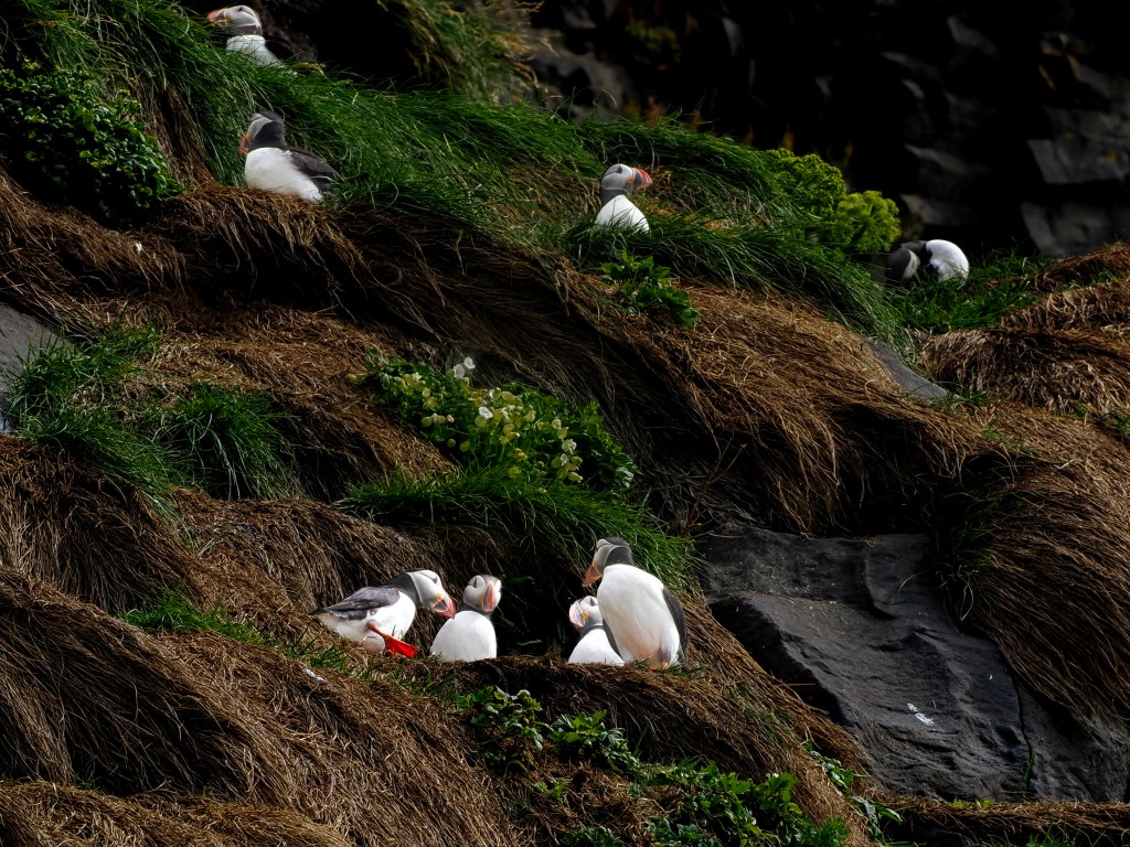
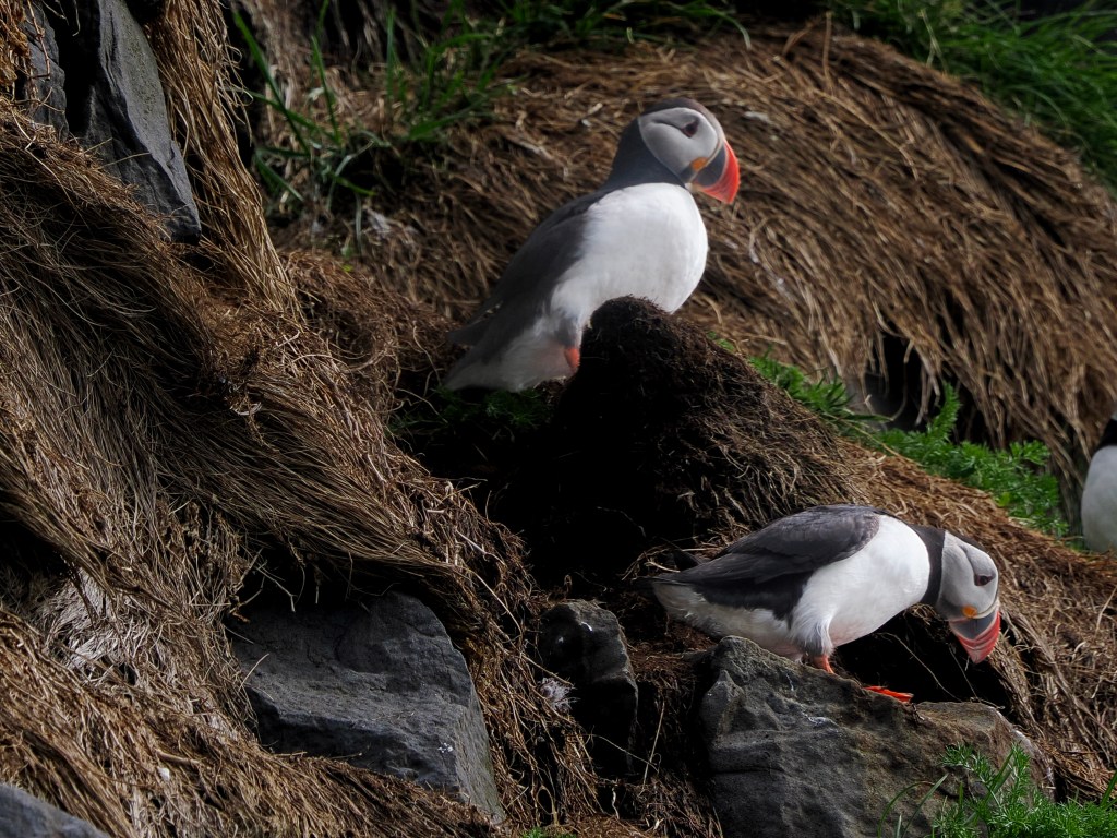
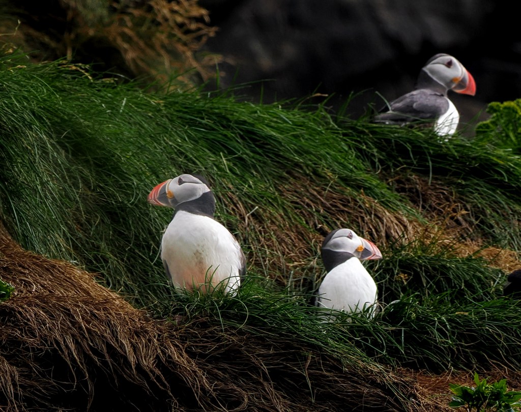
Continuing west, we arrived at Reynisfjara, Iceland’s famous black sand beach, framed by dramatic basalt columns and the striking Reynisdrangar sea stacks rising straight out of the ocean. The contrast of the dark sand against the crashing white waves felt almost otherworldly โ€” beautiful in a way that was slightly haunting. This is where we saw our first puffins. Right above the basalt columns, there were tons of Puffins, flying in and out of the sea. I spent way too much time taking photos of puffins rather than admiring the black sand beach.

Mรฝrdalsjรถkull Ice cap

Black sand beach of Vik where I captured one of my favorite photographs of the trip: two distant glaciers visible from the beach, their snow-capped peaks glowing beneath a moody, storm-streaked sky. It’s a shot I keep coming back to.

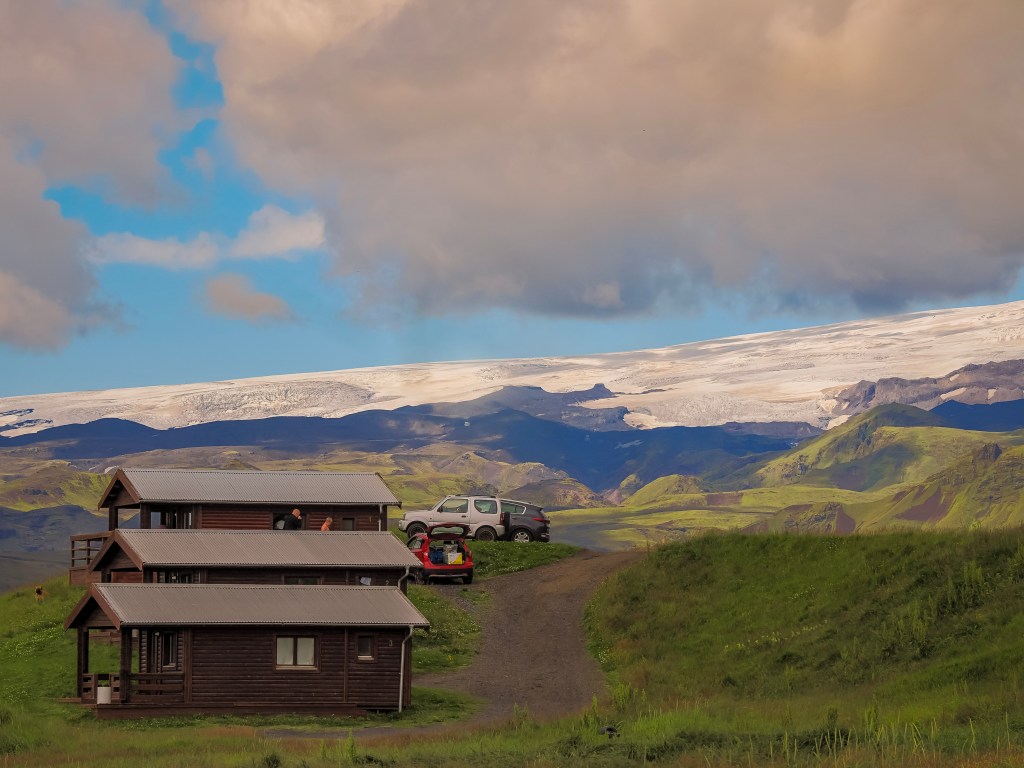
The 2 glaciers include Mรฝrdalsjรถkull, the ice cap hiding the notoriously active Katla volcano beneath its surface, and, further along the coast, glimpses of Eyjafjallajรถkull, whose 2010 eruption famously grounded flights across Europe. In one shot, dramatic storm clouds part just enough to let sunlight catch the glacier’s edge above green hills and a quiet lagoon, while in the other, warm evening light bathes the same icy ridge behind a small cluster of wooden cabins. Seeing these two glacier-capped volcanoes side by side, so close to the shoreline yet holding such destructive power beneath their calm white surfaces, is a striking reminder that in Iceland, ice and fire are never far apart.

Seljalandsfoss: Walking Behind a Waterfall

We ended the day at Seljalandsfoss because our guide warned we might get a bit wet, and it is better to do this waterfall last. There’s something almost magical about this waterfall โ€” you can actually walk behind the cascading water, which gave me one of the most immersive experiences I’ve ever had with nature. The mist hung constantly in the air, and on a sunny afternoon like ours, it painted little rainbows that seemed to appear and vanish as we moved. I remember standing behind that curtain of water, looking out at the world through it, and just feeling completely present in the moment.

Final Thoughts

Driving back toward Reykjavik that evening, I remember feeling genuinely overwhelmed โ€” in the best way โ€” by how much beauty we’d packed into a single day. Iceland’s South Coast isn’t just a collection of pretty stops; it’s a journey through landscapes that feel ancient and ever-changing all at once. If you’re planning a trip to Iceland, do not skip this drive. Just be ready to stop every few minutes for photos โ€” trust me, you’ll need to.

Puffins, Post Offices, and Polar Explorers: A Morning on Vigur Island

Of all the excursions on this trip, Vigur Island might be the one I keep thinking back to. It’s a small stop โ€” a tiny island in the middle of รsafjarรฐardjรบp fjord โ€” but it packs in wildlife, history, and one genuinely remarkable owner into just a few hours.

Getting There

We were picked up right off the dock of the ship and loaded onto a small boat for the crossing. The ride took about 30 minutes, and we couldn’t have asked for a better morning for it โ€” calm water, good light, and views back across the fjord toward รsafjรถrรฐur as we pulled away.
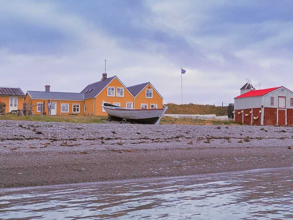
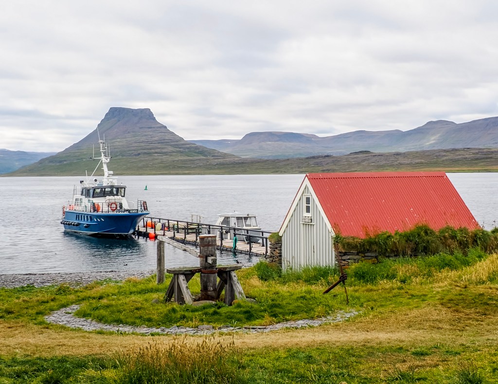
Pulling up to the small dock, the island’s red-roofed boat shed, and windmill came into view โ€” a quiet, working little harbor that felt worlds away from the cruise port we’d just left.

The Island and Its One Family

What makes Vigur so fascinating is who lives there: just one family, and they’re the island’s sole year-round caretakers. The current owner is Felicity Aston, a British polar explorer who, in 2012, became the first woman in the world to ski solo and unassisted across Antarctica โ€” towing her own supplies for 1,744 km over 59 days, using nothing but her own strength the entire way. She first came to Vigur while guiding expedition travelers there, fell in love with the place, and years later bought the island with her husband. Today they’re two of just three permanent residents, running Vigur as a working eider farm and bird sanctuary.
Their main livelihood comes from sustainably harvesting eiderdown โ€” the eider ducks nest right around the family’s home and outbuildings for protection, and in exchange, the down they naturally shed is collected once the ducklings have left the nest. It’s a genuinely symbiotic relationship that’s been part of island life here for generations.
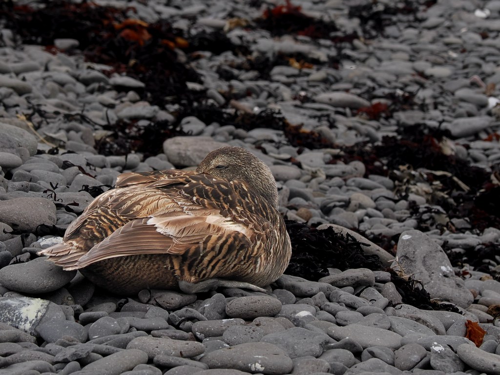
We spotted this eider duck tucked up on the rocky beach, blending almost perfectly into the stones and dried seaweed around her.

The Birds

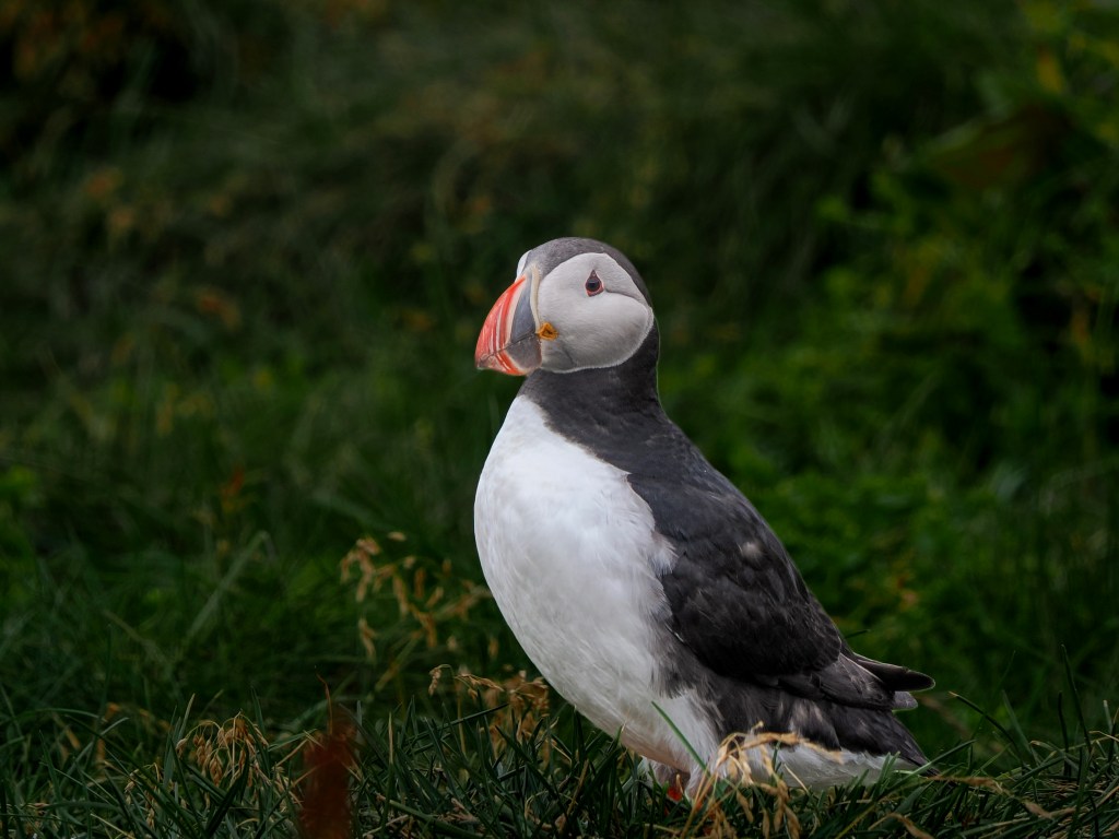
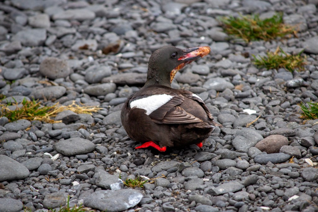
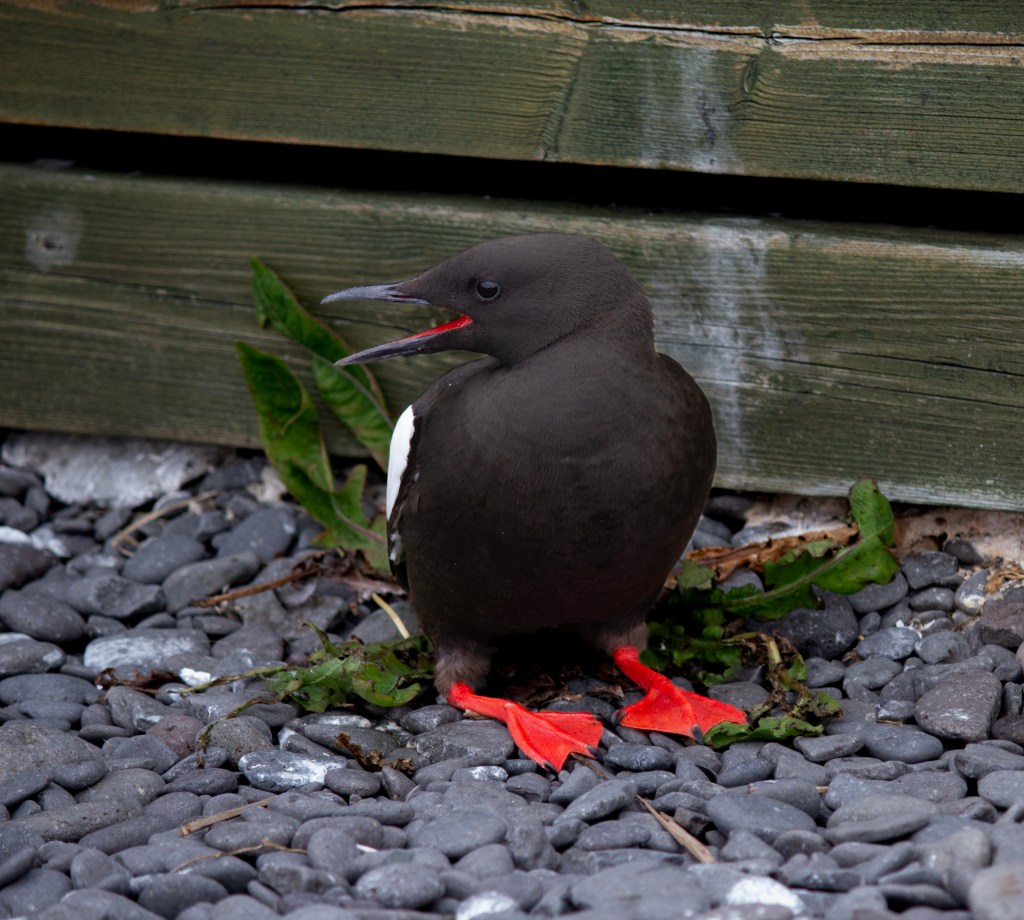
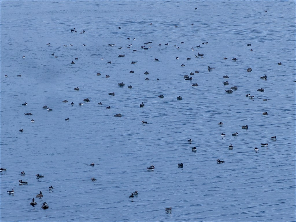
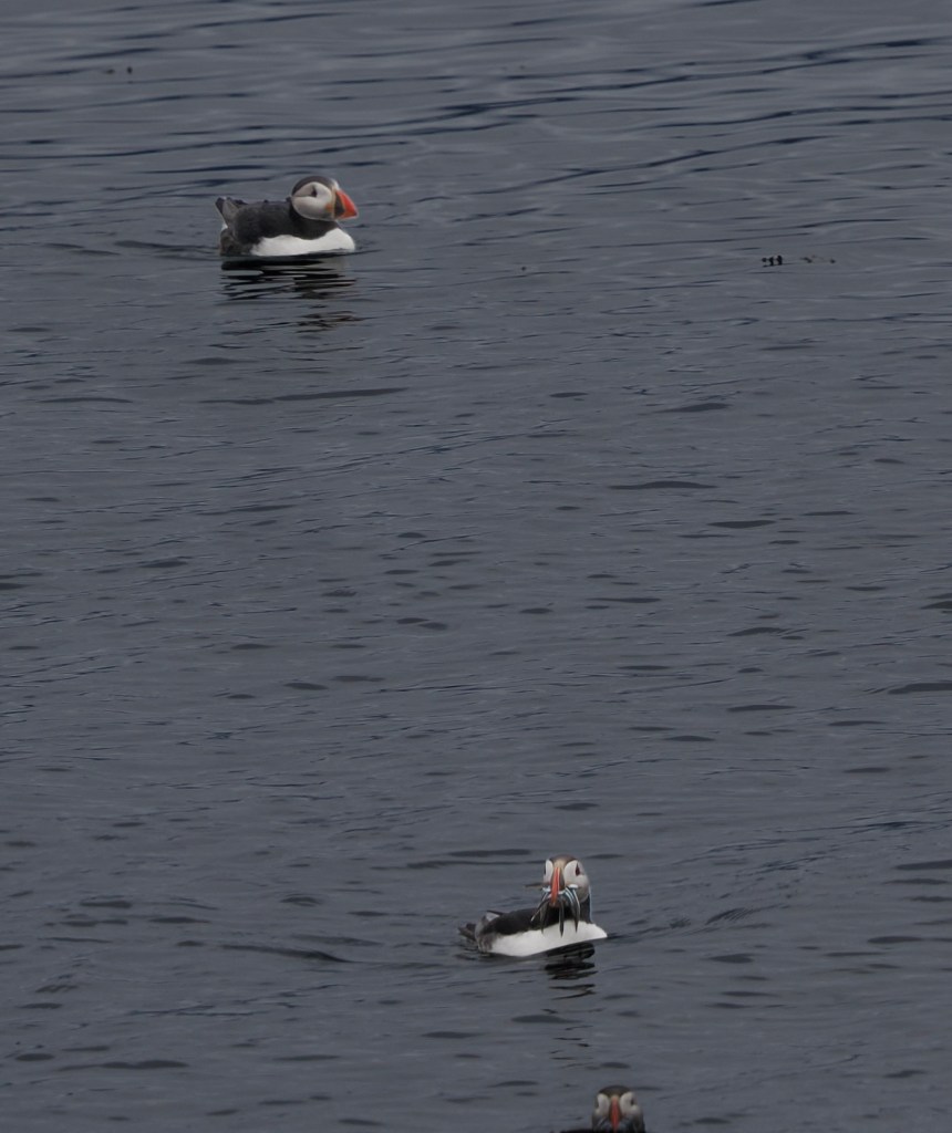
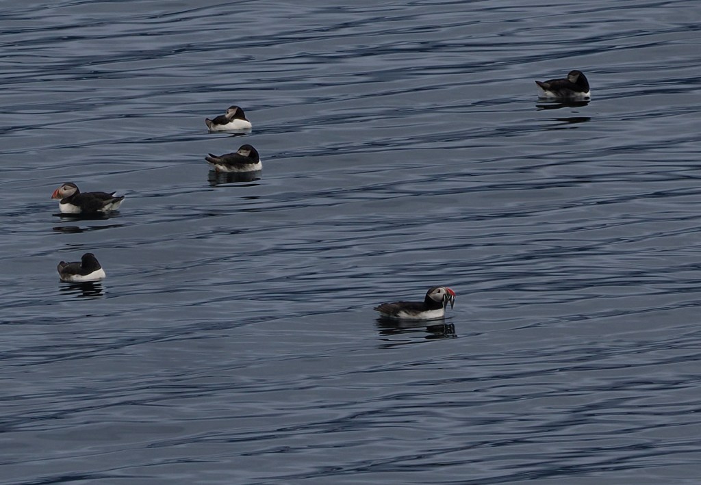
The numbers are hard to wrap your head around: Vigur is home to something like 100,000 puffins, along with thousands of eider ducks and one of Europe’s largest colonies of black guillemot. We saw hundreds of puffins bobbing in the water on the approach, with a handful more flying in low and landing right next to their burrows along the path. Watching them come and go from their nests at close range was worth the trip on its own.

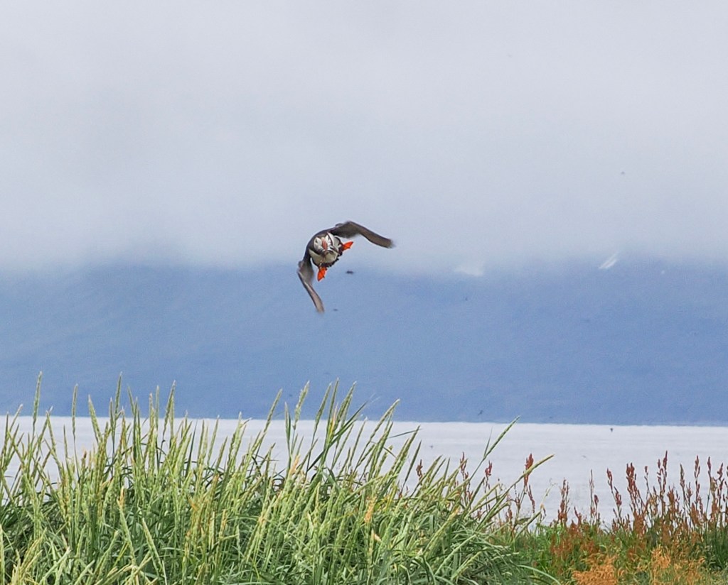
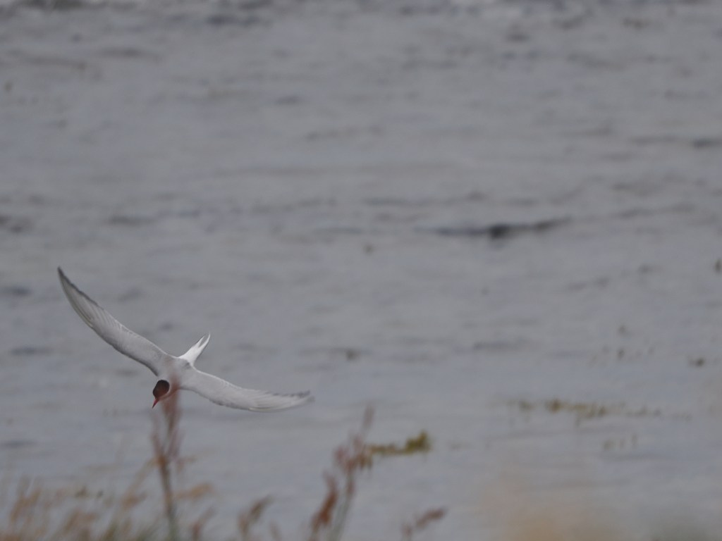
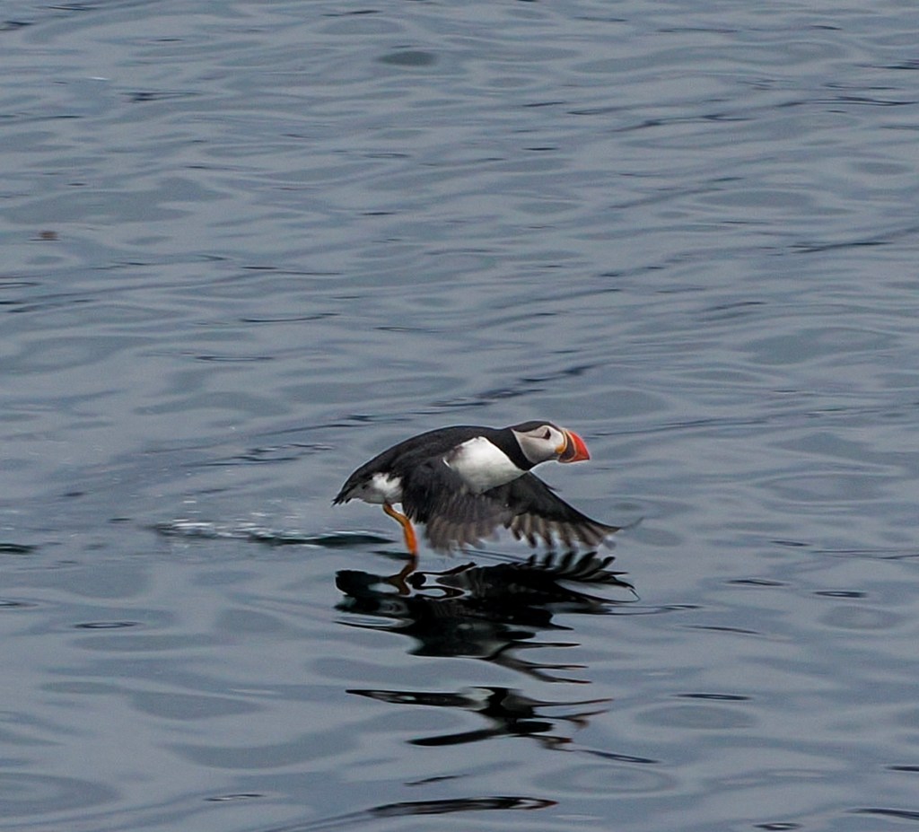
Catching one mid-flight was its own challenge โ€” puffins are fast, low fliers, and this one banked hard just before touching down.

The other bird you can’t ignore is the Arctic tern โ€” and our guide made sure we knew it before we got very far. Arctic terns nest right alongside the walking path, and they are fiercely protective of their chicks. Expect a few dive-bombing runs at your head as you walk through; it’s harmless, if startling, and part of the experience.

The Puffin Path

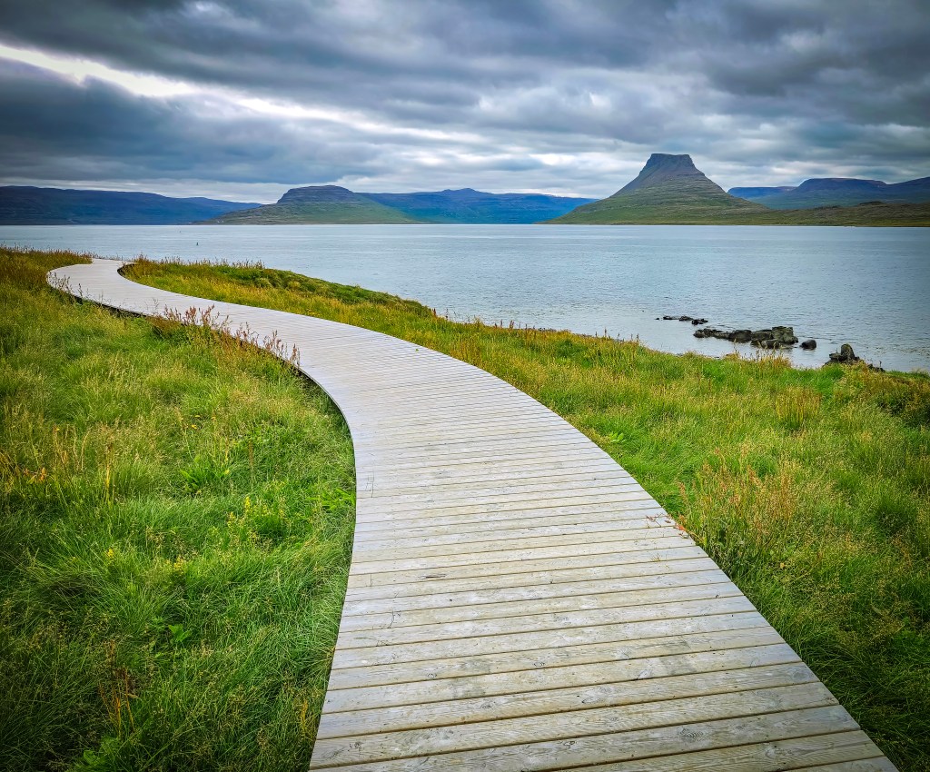
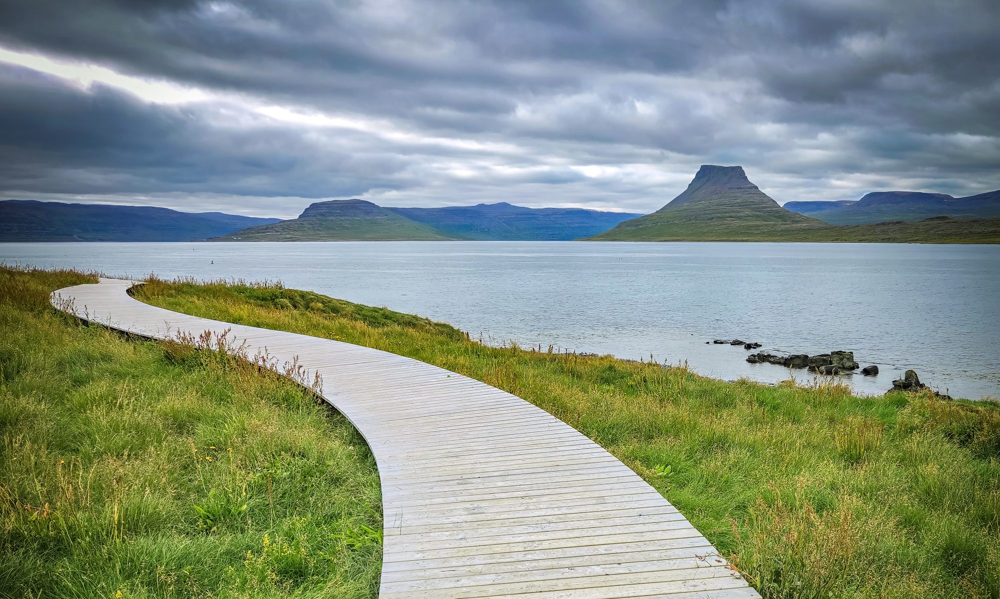
The boardwalk that lets you walk right through the colony without disturbing it is relatively new โ€” it’s called the “Puffin Path,” and it was built in collaboration with National Geographicโ€“Lindblad Expeditions, whose ships regularly stop at Vigur as part of their Iceland itineraries. It’s a genuinely well-designed piece of infrastructure: close enough to the birds to feel immersive, but built specifically to keep foot traffic away from the burrows.

Marriage Cake and the Smallest Post Office in Europe

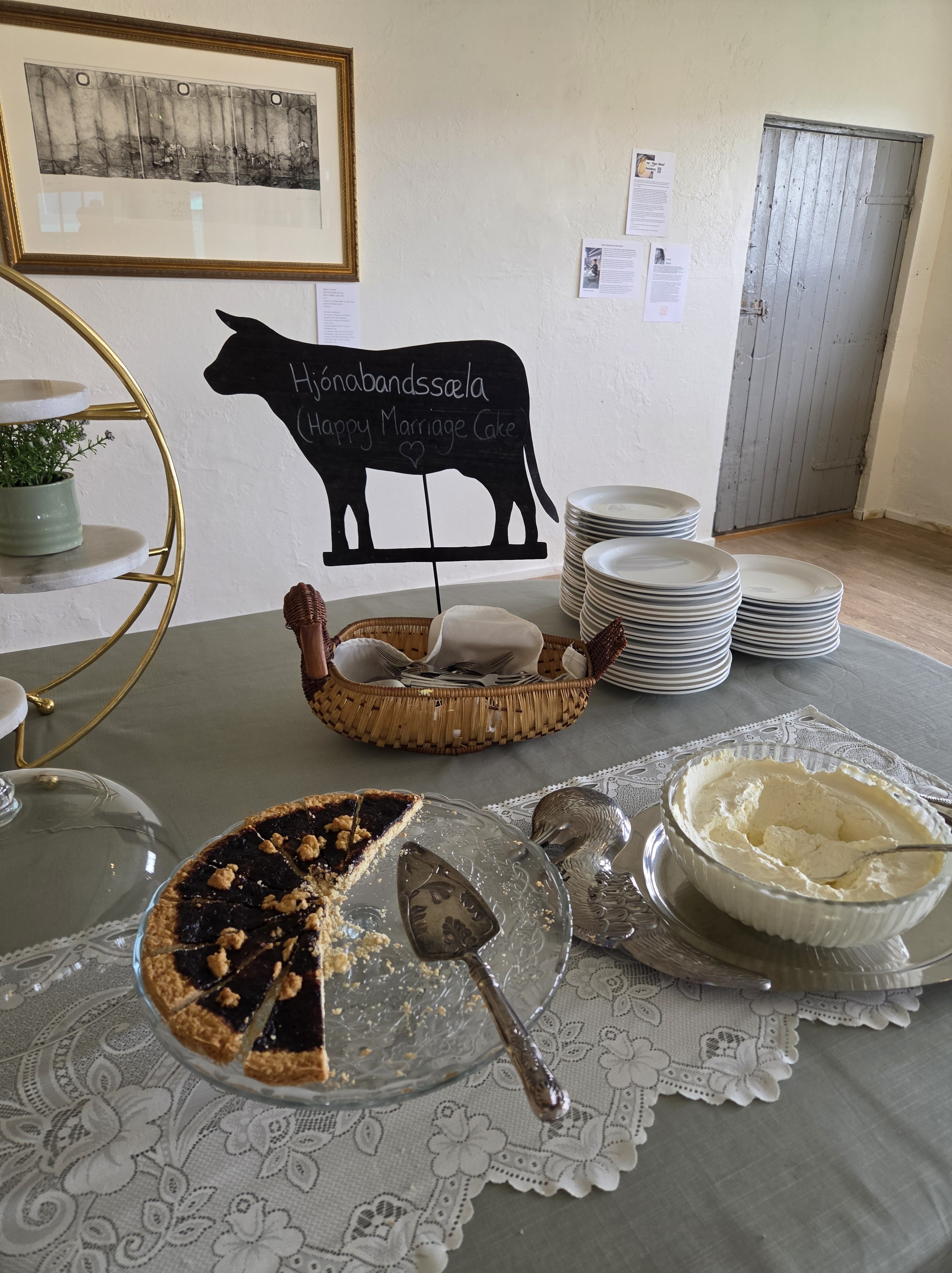
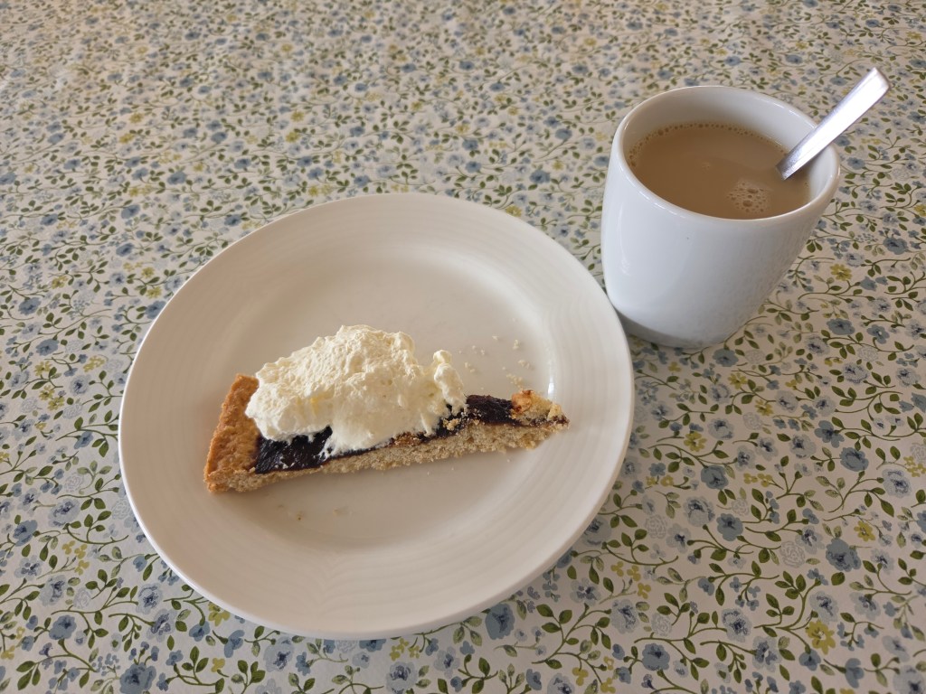
Before heading back to the boat, we stopped for Hjรณnabandssรฆla โ€” literally “marital bliss,” a traditional Icelandic rhubarb cake that’s been a Vigur family recipe for generations. It’s a simple, comforting treat after a couple of hours outside in the wind.

Just as memorable: Vigur’s post office, which claims the title of Europe’s smallest post office. We sent postcards from there, stamped with the island’s own puffin design โ€” mail gets picked up “every now and then” rather than on any fixed schedule, so don’t expect it to beat you home.

Worth Its Own Trip

Between the boat ride, the puffins, the eider ducks, the Arctic terns keeping us on our toes, the cake, and Felicity’s story, Vigur ended up being one of the most memorable stops of the whole cruise โ€” a tiny island that somehow has more going on than places many times its size.


Read next: our full day in รsafjรถrรฐur, including the walk through Old Town and the decision that sent us to Vigur instead of Dynjandi Waterfall.

The Town at the End of the Fjord: A Day in รsafjรถrรฐur

Our final day on the cruise brought us to รsafjรถrรฐur โ€” another gorgeous day of weather and, once again, a town that felt like the quintessential slice of Iceland.

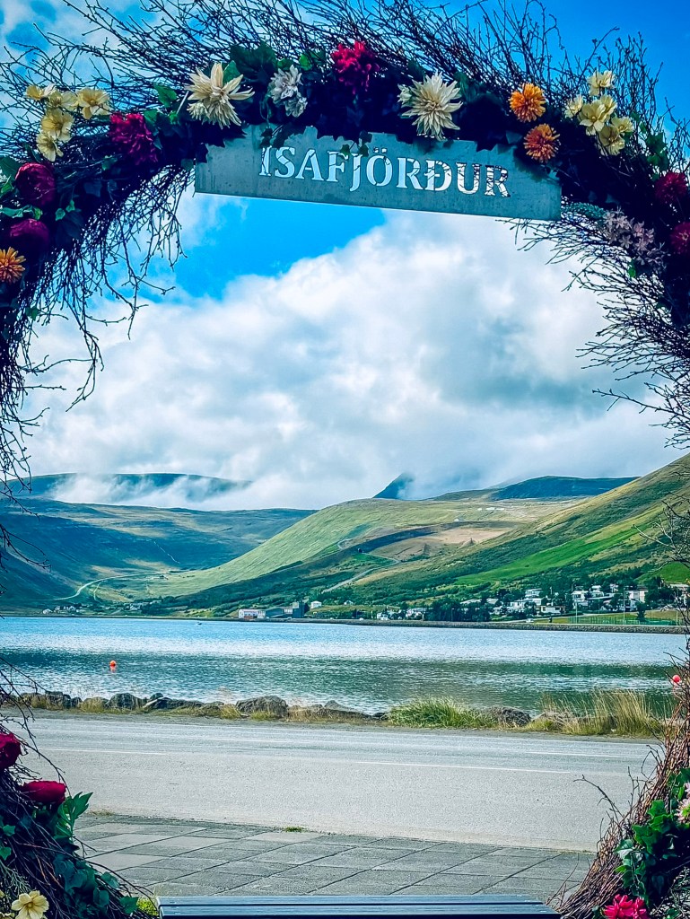
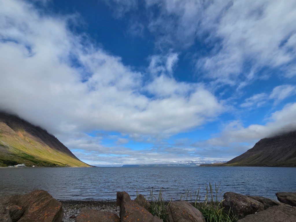
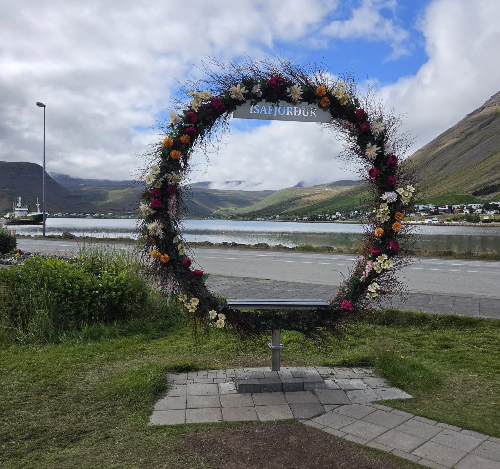
Right near the harbor, a flower-and-branch arch spelling out “ISAFJร–RรUR” frames the view straight down the fjord toward the mountains โ€” a popular photo stop for arriving passengers. I couldn’t track down a specific artist or designer credited for this one; it looks like a seasonal installation put up for the tourist season rather than a permanent public artwork (unlike the town’s well-known Whalebone Arch over in Jรณnsgarรฐur Park, made from the jawbones of a blue whale). Either way, it’s a nice frame for that first look at the fjord and the mountains rising straight out of the water.

About รsafjรถrรฐur

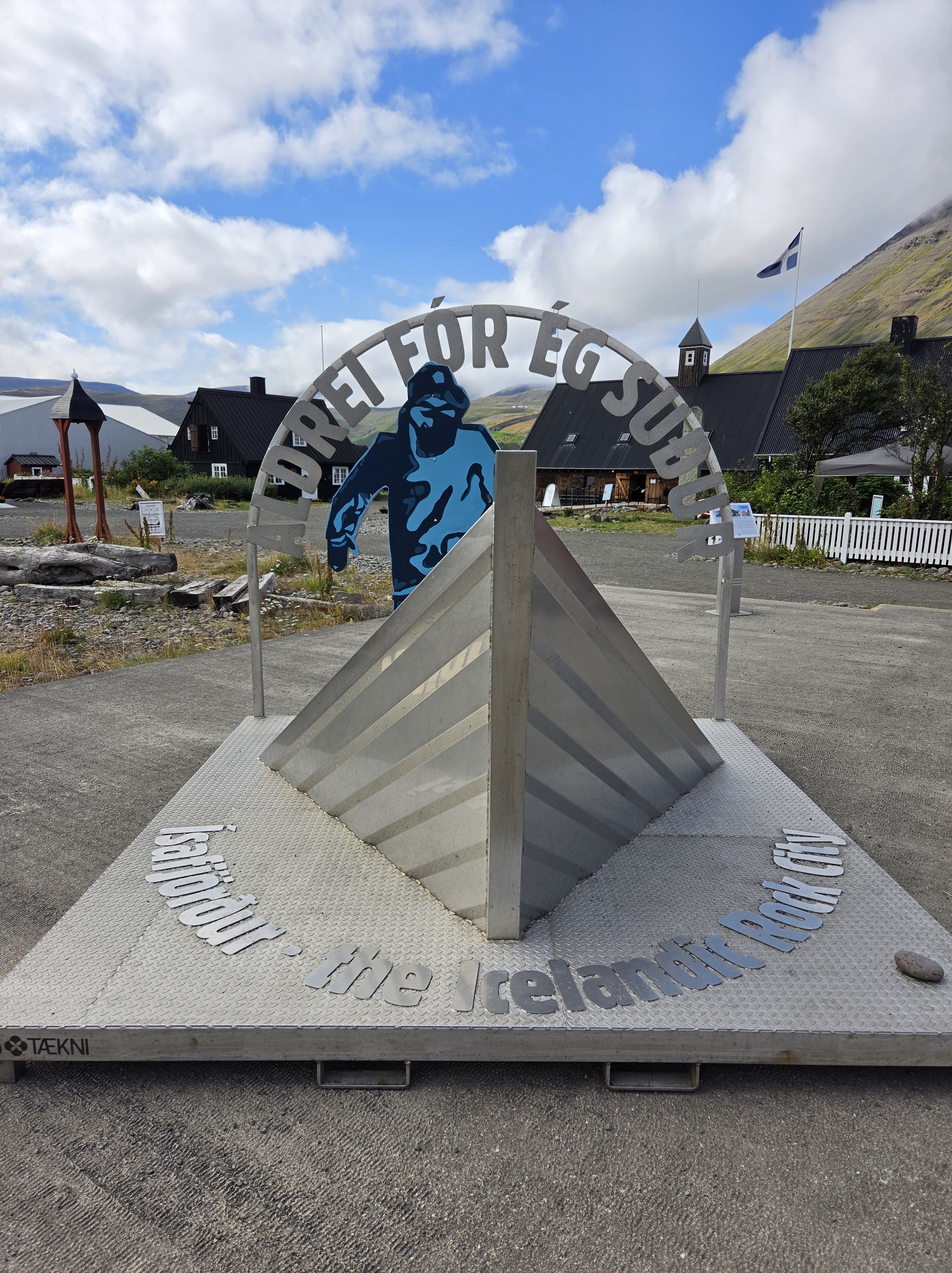
Nestled within the Skutulsfjรถrรฐur fjord, รsafjรถrรฐur is the largest settlement in the Westfjords, with a population of just 2,744. Each year, the town punches well above its weight, drawing thousands of visitors for the Aldrei fรณr รฉg suรฐur music festival, founded by Icelandic musician Mugison and his father.

The area has deep roots. According to Landnรกmabรณk (the Book of Settlements), Helgi Hrรณlfsson first settled Skutulsfjรถrรฐur in the 9th century, with merchants arriving in 1569. รsafjรถrรฐur became the principal trading port in the Westfjords during the peak years of the Danish trade monopolyโ€”back when the community was still known as Eyrarhreppur.

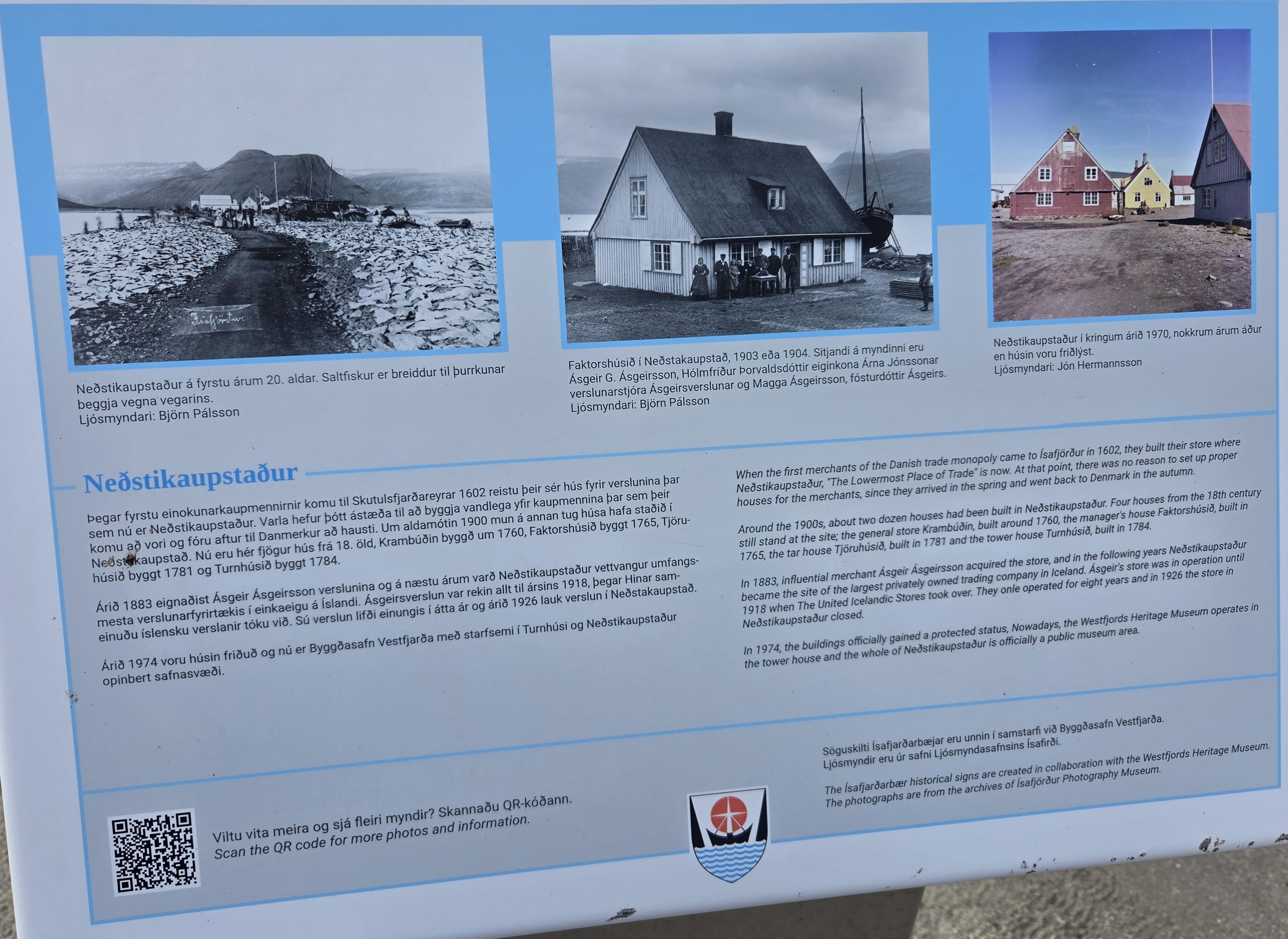
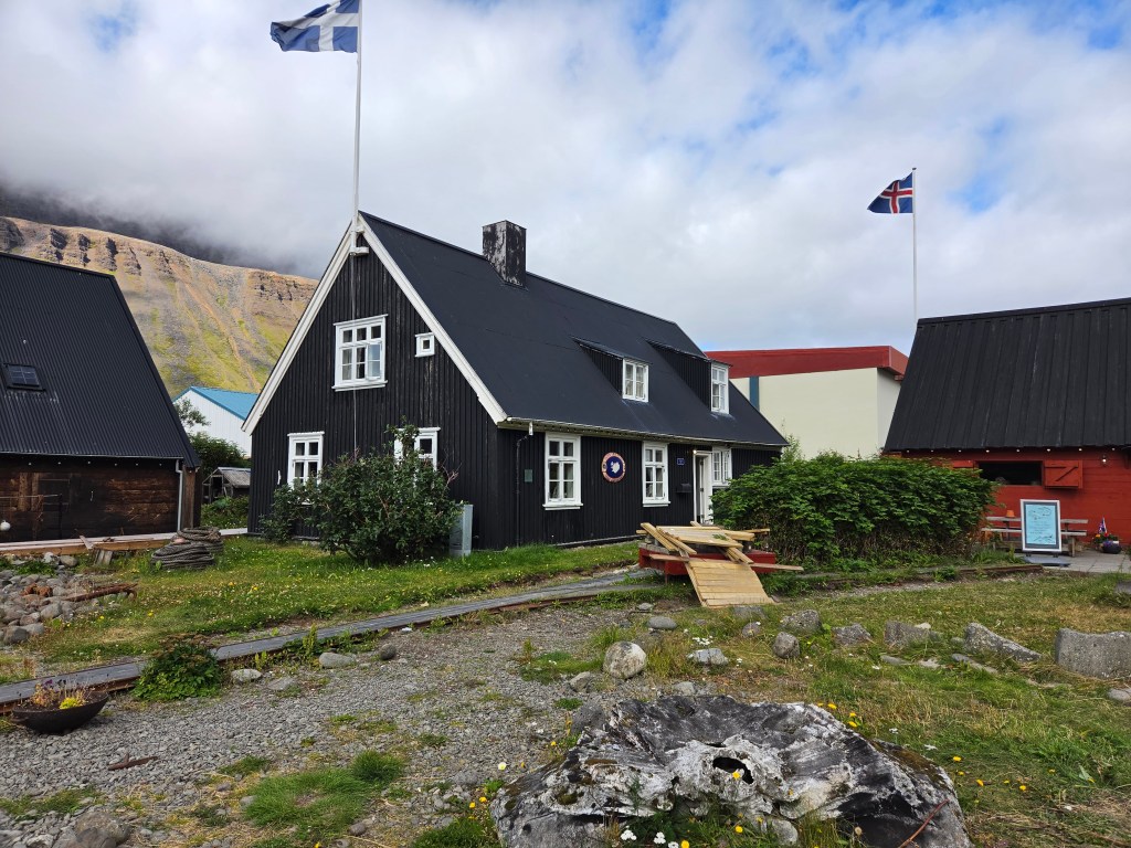
Right by the harbor sits Neรฐstikaupstaรฐur, one of the oldest clusters of timber houses in Iceland. Most of the buildings are protected and date from 1757โ€“1784, with Krambรบรฐin standing as the oldest of the group. One of these historic houses, Turnhรบsiรฐ, now houses the Westfjords Heritage Museum, offering a window into the region’s maritime and cultural history.

The town has also produced its share of notable Icelanders, including musician Helgi Bjรถrnsson, former president ร“lafur Ragnar Grรญmsson, and Bishop of Iceland Agnes M. Sigurรฐardรณttir.

Puffins Over Waterfalls: Choosing Vigur Island

Our original plan for the day was a 3.5-hour sightseeing tour to Dynjandi Waterfall โ€” the dramatic “bridal veil” of the Westfjords. But a couple of nights before, while browsing Viator, I stumbled on a puffin tour to Vigur Island instead, and that changed our plans.

We’d missed out on seeing puffins back at Heimaey, so with a tight schedule and only one excursion to choose, Vigur Island won out. It’s a 3-hour round trip, home to around 100,000 puffins, Iceland’s only windmill, and Europe’s smallest post office โ€” and it deserves its own post entirely.

If you have more time in port than we did, you could realistically do both Dynjandi Waterfall and Vigur Island in the same day. For us, choosing one over the other worked out well, since the 3-hour tour still left plenty of time to walk around รsafjรถrรฐur afterward.

Walking Around รsafjรถrรฐur

After we got back from the puffin tour, we spent the rest of our time exploring the town on foot โ€” easily done in an hour or two, and a nice, relaxed way to close out the trip.

Highlights worth looking out for:

  • Neรฐstikaupstaรฐur (the Old Town): The historic harbor district, lined with colorful timber trading houses and restored warehouses dating back to the 18th century. It’s compact, walkable, and full of small details โ€” carved doorframes, old signage, and weathered wood โ€” that tell the story of the town’s trading past.
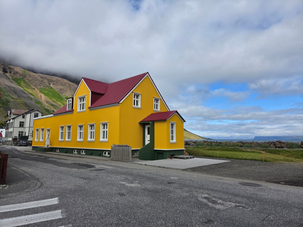
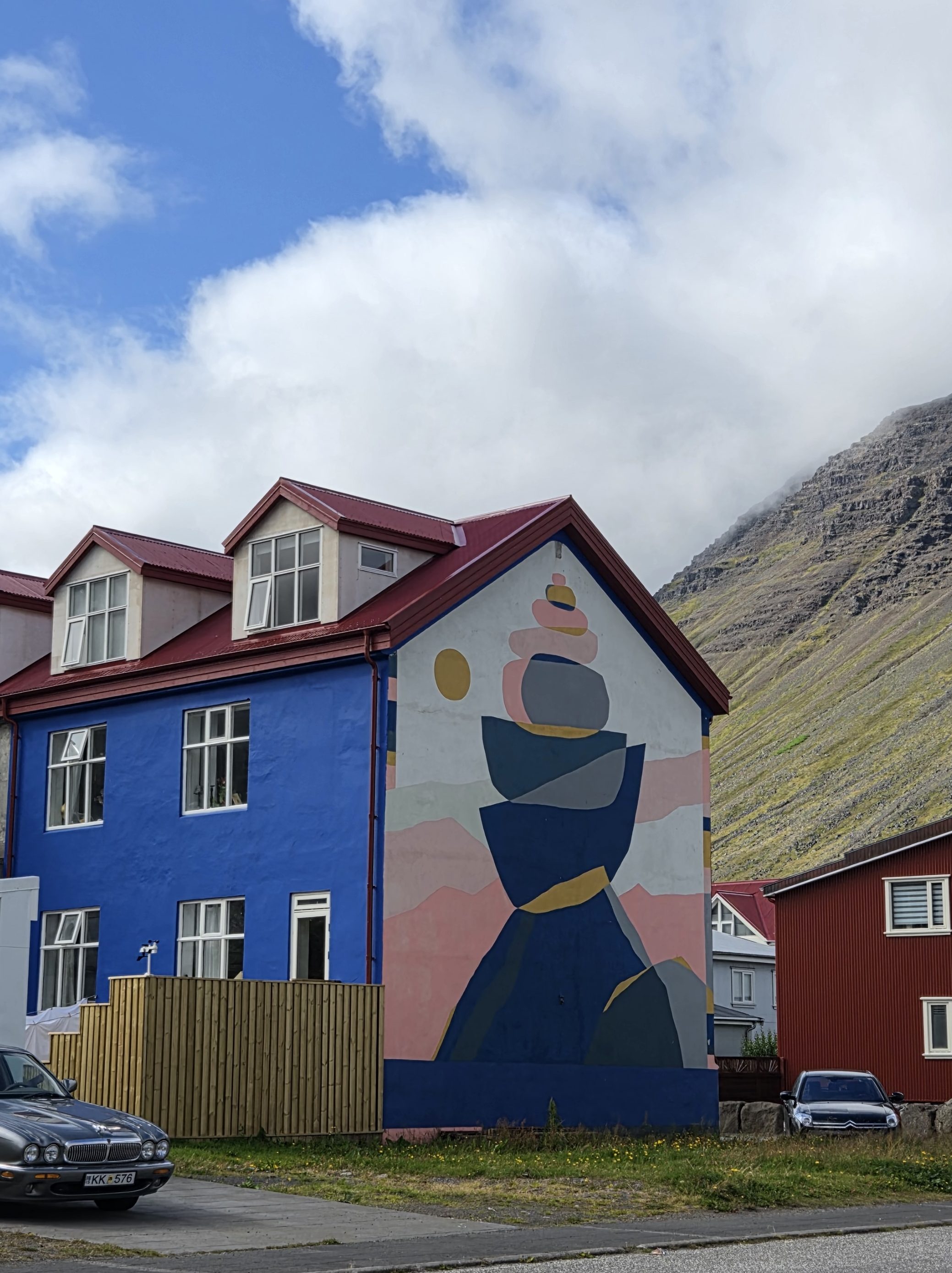
  • Colorful houses: Beyond Neรฐstikaupstaรฐur, the brightly painted homes throughout town make for some of the most photogenic streets in the Westfjords.
  • Bookstores: รsafjรถrรฐur has a genuine literary streak for such a small town โ€” worth popping into one of the local bookshops for a browse, even if just to see what an Icelandic small-town bookstore looks like.
  • The Westfjords Heritage Museum: Housed in Turnhรบsiรฐ, one of the oldest buildings in the cluster, with exhibits on the region’s fishing and maritime heritage.
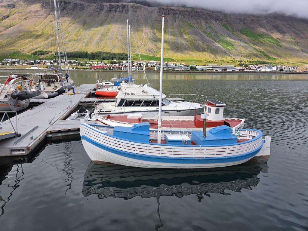
  • The harbor: A good spot to see fishing boats framed against the fjord and the steep, flat-topped mountains that rise straight out of the water.

If You Have More Time: Dynjandi Waterfall or the Troll’s Throne Hike

Since we only had one excursion slot to fill, we went with Vigur Island โ€” but รsafjรถrรฐur has at least two other classic options worth considering if your schedule allows. The first is the original plan we passed on: Dynjandi Waterfall, often called the most beautiful waterfall in the Westfjords. It’s a roughly 3.5โ€“4 hour round-trip excursion from town, tumbling down a 100-meter rocky scarp in a series of tiered, fan-shaped cascades โ€” the kind of “bridal veil” waterfall that looks almost too perfect to be real.

The second option is much closer to town and takes far less time: the hike up to Naustahvilft, better known as the Troll’s Throne (or Troll’s Seat). It’s a short but steep climb โ€” about 170โ€“190 meters of elevation gain, doable in well under an hour round trip โ€” up to a dramatic, chair-shaped hollow carved into the mountainside above the fjord. Local legend says a giant troll, rushing home before sunrise, sat down here to rest her aching feet, and her weight left the seat-shaped imprint in the rock. Geologically, it’s actually a glacially carved hanging valley, but the folklore version is more fun to tell. From the seat itself, you get a sweeping panorama over รsafjรถrรฐur, the harbor, and the fjord โ€” reportedly one of the best views in town, and a nice option if you want a quick hike rather than a half-day boat trip or drive. Next time, I’d love to squeeze in the Troll’s Throne on top of everything else โ€” it looks like the kind of short, dramatic hike that’s easy to regret skipping

It was a slow, easy way to end the cruise โ€” puffins in the morning, colorful old timber streets in the afternoon, and one last look at the Westfjords before heading back to the ship.

Dimmuborgir, Iceland: The Complete Guide to the “Dark Castles” Lava Field Near Mรฝvatn

If you’ve ever wanted to walk through what looks like the ruins of a giant’s fortress, Dimmuborgir will feel like it was built for exactly that daydream. This otherworldly field of jagged black lava towers near Lake Mรฝvatn is one of the strangest, most photogenic landscapes in Icelandโ€”and it comes with a story as dramatic as the rock formations themselves.

What Is Dimmuborgir?

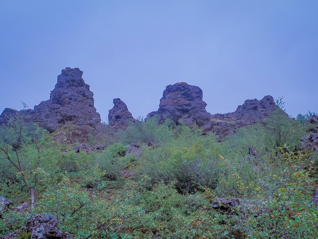
Dimmuborgir means “Dark Castles” or “Dark Fortress” in Icelandic, and one look at the place tells you why. Instead of the smooth, rolling lava fields you’ll find elsewhere in the country, Dimmuborgir is a maze of hollow pillars, twisted arches, and jagged spires that rise up to 20 meters (65 feet) into the sky โ€” looking far more like the crumbling battlements of an ancient castle than a natural rock formation.

Fantasy fans will recognize the landscape from another world entirely: Dimmuborgir served as the filming location for Mance Rayder’s Wildling army camp in Game of Thrones Season 3, and the same lava field also doubled as the site of Samwell Tarly and Lord Commander Mormont’s White Walker attack. The scenes were shot in deep winter snow, so if you want the full “Beyond the Wall” effect, a winter visit gets you close to what the cameras captured. It’s a short drive from Grjรณtagjรก, the small lava cave used as Jon Snow and Ygritte’s cave scene, so the two make an easy pairing for anyone chasing GoT filming spots around Mรฝvatn.

How Dimmuborgir Was Formed

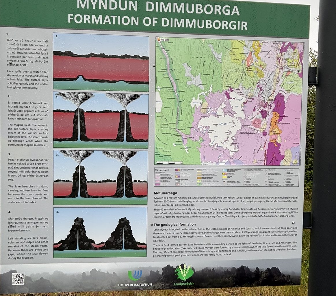
The formations at Dimmuborgir aren’t the result of erosion or wind, like most dramatic rock landscapes โ€” they were created almost instantly, geologically speaking, around 2,300 years ago.

Here’s what happened: a massive lava flow spread across the area and rolled directly over a small lake or wetland. As the molten lava crept over the water, the water beneath it flash-boiled into steam. That trapped steam pushed upward through the lava, forcing its way out through narrow channels โ€” similar to how straws poke through wet cement before it sets. As the steam escaped, it left behind hollow chimneys and pillars of hardened lava rising up out of the flow.

When the main body of lava eventually drained away or cooled and partially collapsed, it exposed this strange skeleton of towers, arches, and caves that had formed around the escaping steam. The result is the twisted, castle-like landscape you can walk through today โ€” a rare, dramatic record of steam and lava colliding in real time.

What Not to Miss When Visiting

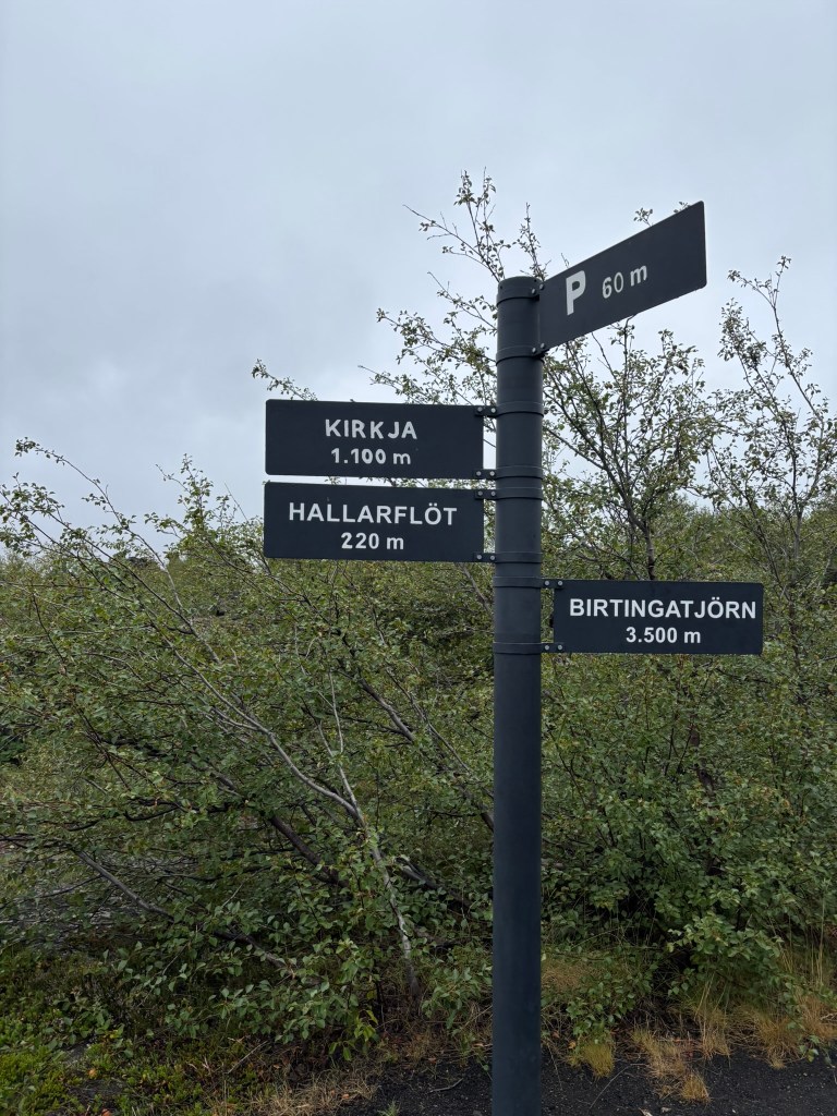
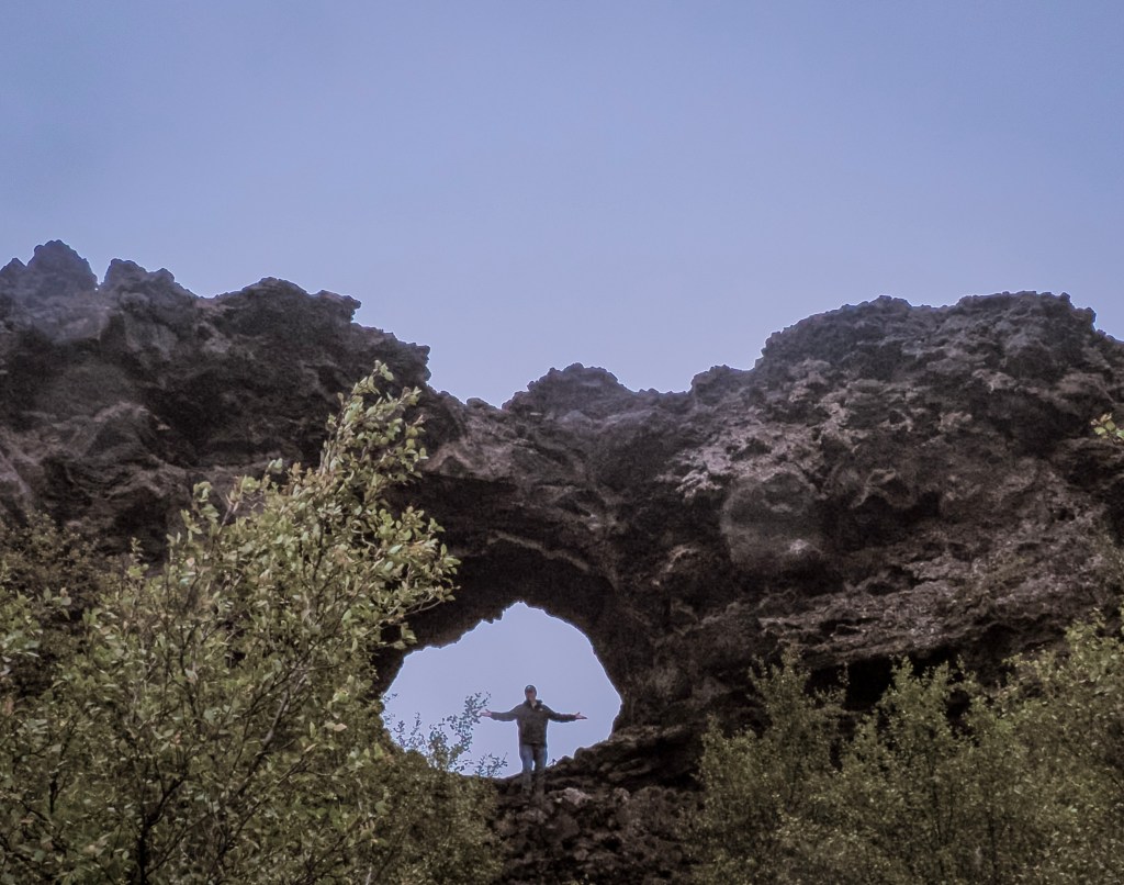
  • Kirkjan (The Church) โ€” the single most famous formation in Dimmuborgir: a massive natural lava arch large enough to walk straight through, shaped uncannily like a Gothic church doorway. It is about 1 Km from the starting point and we didn’t make it all the way to this point
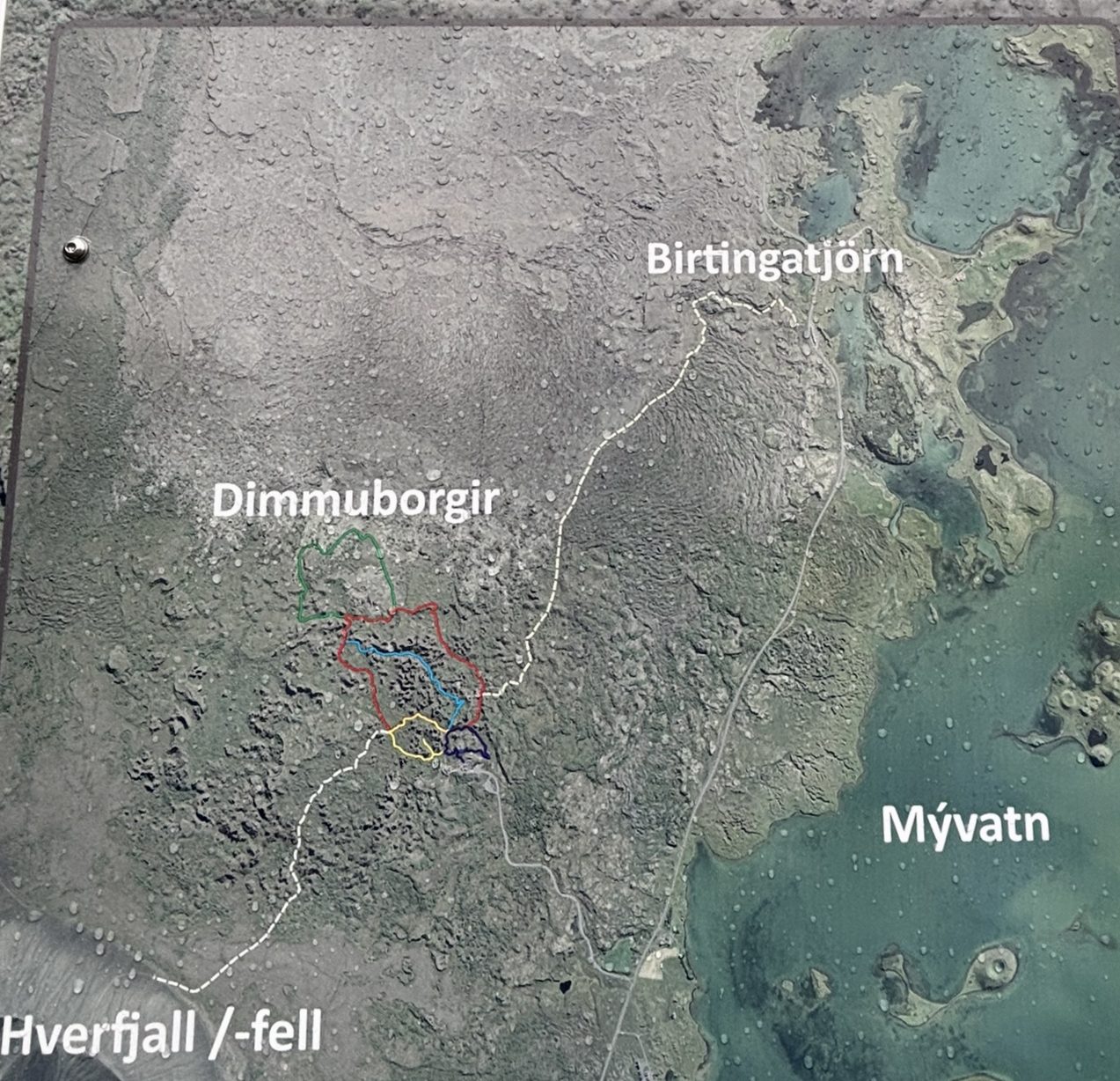
  • The marked trail loops โ€” there’s a short ~20-minute loop for a quick visit, and a longer ~1-hour loop that winds deeper into the maze of towers. If you have the time, take the longer one โ€” it’s where the landscape gets genuinely eerie and beautiful.
  • Hallarflรถt โ€” a much shorter detour, only about 220 m off the main path
  • The birch woodland pockets โ€” small patches of stunted, wind-bent birch trees growing straight out of the black lava, an unusual and striking contrast worth slowing down for

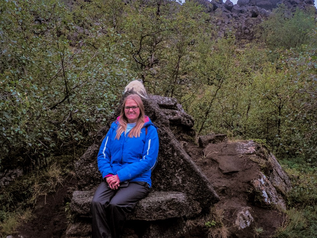
Hallarflรถt is one of the smaller, quieter clearings within the lava field โ€” a natural meadow tucked among the rock formations, ringed by birch scrub. It’s an easy, short detour if you’re already on the main loop, and one of the more peaceful spots to stop for a photo away from the busier arches. Look out for oddly shaped rock “seats” and ledges worn smooth enough to perch on โ€” it’s a favorite low-key photo spot for visitors making their way through the maze.

If you’re planning your route, the signposts make it easy to string together a loop hitting Hallarflรถt, Kirkja, and back to the car park in under an hour, or extend it out to Birtingatjรถrn if you want more time among the lava towers.

Golden hour light โ€” visit early morning or evening if you can. Low, angled sunlight throws long shadows between the pillars and makes the whole site feel even more dramatic for photos.

These are some of my favorite shots from the area. The restrooms and gift shop give you a panoramic view of the valley.

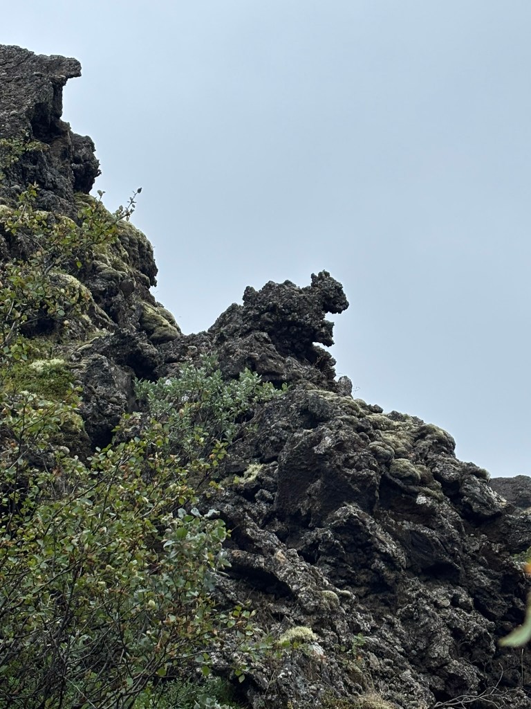
Rock formation that looks like a squirrel

Dimmuborgir pairs naturally with Hverfjall crater, just 5 km away, so most visitors combine the two into a single stop on their way around Mรฝvatn or the wider Diamond Circle route.

Parking Fee at Dimmuborgir

Unlike some of the free stops around Mรฝvatn, Dimmuborgir now charges a parking fee of 1,000 ISK per car at the trailhead. There’s no separate entrance fee to walk the trails โ€” the parking fee is the only cost to visit. Look for a payment sign, QR code, or attendant at the car park, and pay before you head off on the trail; paying after the fact typically comes with a penalty.

Quick tip: parking fees have become increasingly common across Iceland’s most popular natural sites in recent years, so it’s a good habit to assume payment is required and check for signage at any managed car park before walking away.

Hverir (Nรกmaskarรฐ): Iceland’s Boiling, Bubbling “Devil’s Kitchen”

There’s a stretch of Iceland’s Ring Road where the vegetation simply stops. One minute you’re driving past green wetlands and grazing sheep, the next you’re pulling into a barren, steaming, sulfur-stained moonscape where the ground hisses and bubbles like it’s alive. Locals call it “Hell’s Kitchen.” The rest of us call it Hverir โ€” and it might be the single strangest place you’ll stand on your entire Iceland trip.

Hverir (Nรกmaskarรฐ)

What Is Hverir (Nรกmaskarรฐ)?

Hverir sits at the foot of Mt. Nรกmafjall in North Iceland, just a few kilometers east of Lake Mรฝvatn on Route 1. You’ll see it referred to interchangeably as Hverir, Nรกmaskarรฐ, Nรกmafjall Hverir, or Hverarรถnd โ€” they’re all pointing at the same high-temperature geothermal field, one of the most intense and accessible in the country.

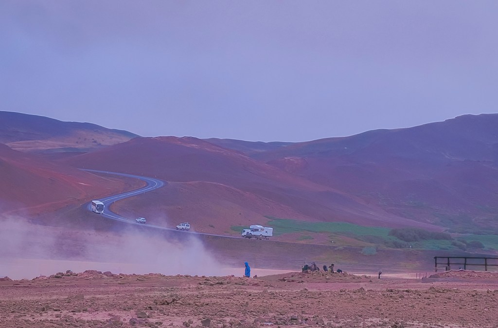
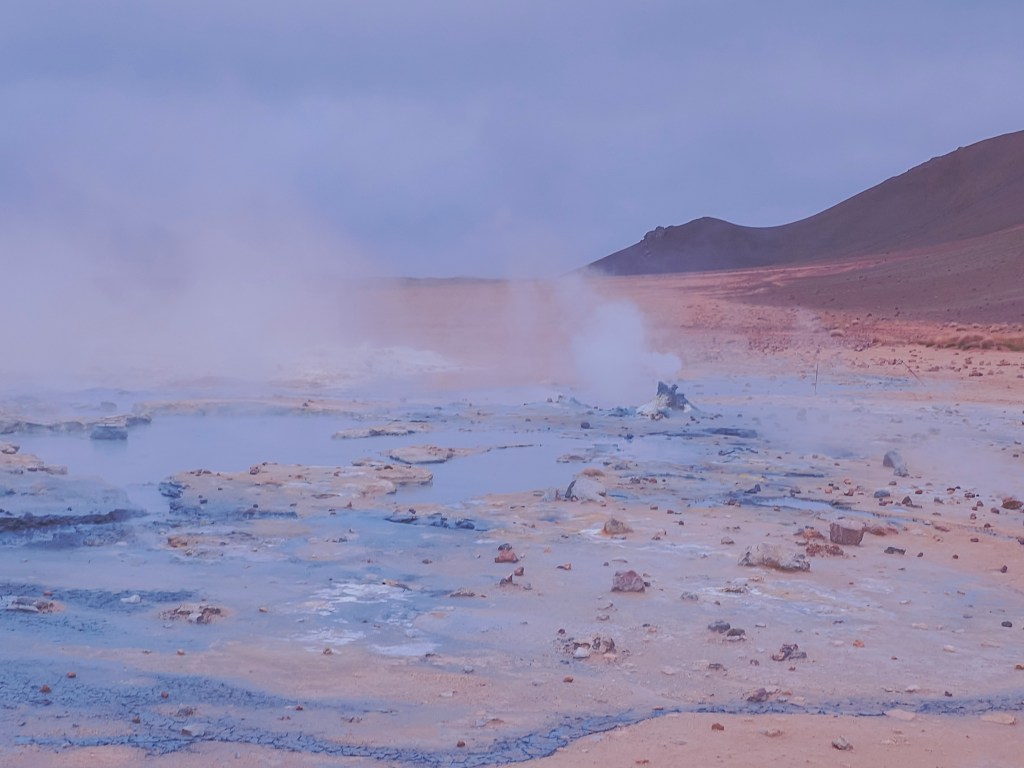
No hiking is required to feel the full effect. Pull off the Ring Road, step out of the car, and you’re immediately surrounded by hissing steam vents (fumaroles), bubbling grey mud pots, and ground streaked in shades of yellow, orange, red, and white from mineral deposits. The Icelandic nickname for the area, eldhรบs djรถfulsins โ€” “the Devil’s Kitchen” โ€” is not an exaggeration once you’re standing in it. Steam drifts across the barren ground right where Hverir meets the Ring Road โ€” you’ll spot it long before you arrive.

The Sulfur That Armed Medieval Europe

Behind the surreal colors is a genuinely surprising piece of history: Hverir wasn’t just a geological curiosity to the people who lived near it. For centuries, it was an industrial site.

Sulfur has probably been extracted from the Nรกmafjall area since as early as the thirteenth century. Back then, sulfur was one of the most valuable commodities you could get your hands on, because it was a key ingredient in gunpowder. At the height of demand, a large share of the sulfur used in gunpowder production across medieval and early modern Europe came directly from mines around Nรกmaskarรฐ โ€” meaning this quiet, remote patch of North Iceland was, for a stretch of history, genuinely strategically important to armies and empires that most Icelanders would never see.

The trade eventually caught the attention of foreign powers: by the sixteenth century, the local sulfur deposits had come under the control of the Danish Crown, which controlled Iceland at the time. Miners worked the deposits in brutal conditions โ€” unstable, superheated ground, choking sulfurous gas, and difficult terrain that made transporting the material out of North Iceland a serious logistical challenge in its own right. Extraction continued with varying intensity into the nineteenth century, with a brief attempt to revive mining around 1940.

Eventually, gunpowder stopped being the point. As Iceland’s relationship with its geothermal landscape shifted from extraction to energy, places like Hverir became valuable for an entirely different reason: geothermal power now heats the vast majority of Icelandic homes, and the same volcanic forces that once produced sulfur for war are now a cornerstone of the country’s renewable energy.

The name itself still carries the memory: Nรกmaskarรฐ translates roughly to “Mine Pass” โ€” a nod to a few hundred years of people working in one of the most hostile environments in Iceland, long before anyone came here to take photos.

What to See at Hverir

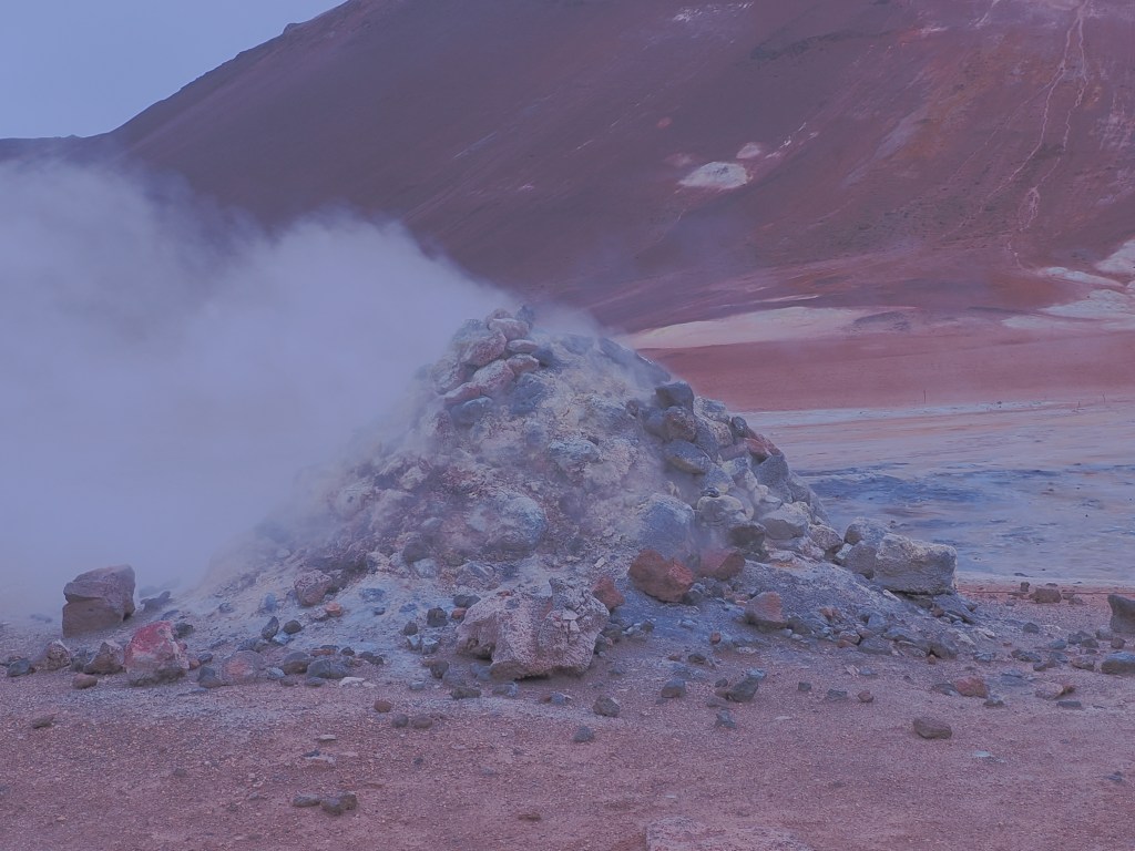
  • The fumaroles โ€” steam vents where volcanic gas escapes through cracks in the earth, some loud enough to hear before you spot them. On calm days the steam rises straight up in tall columns; on windy days it sweeps sideways across the whole field.
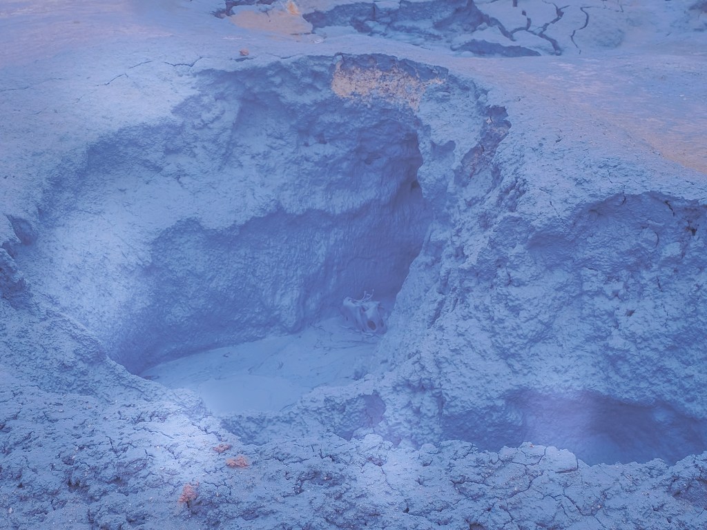
  • The mud pots (solfataras) โ€” thick, grey, boiling mud that pops and bubbles constantly. Mesmerizing to watch, and one of the best photo subjects in the area.
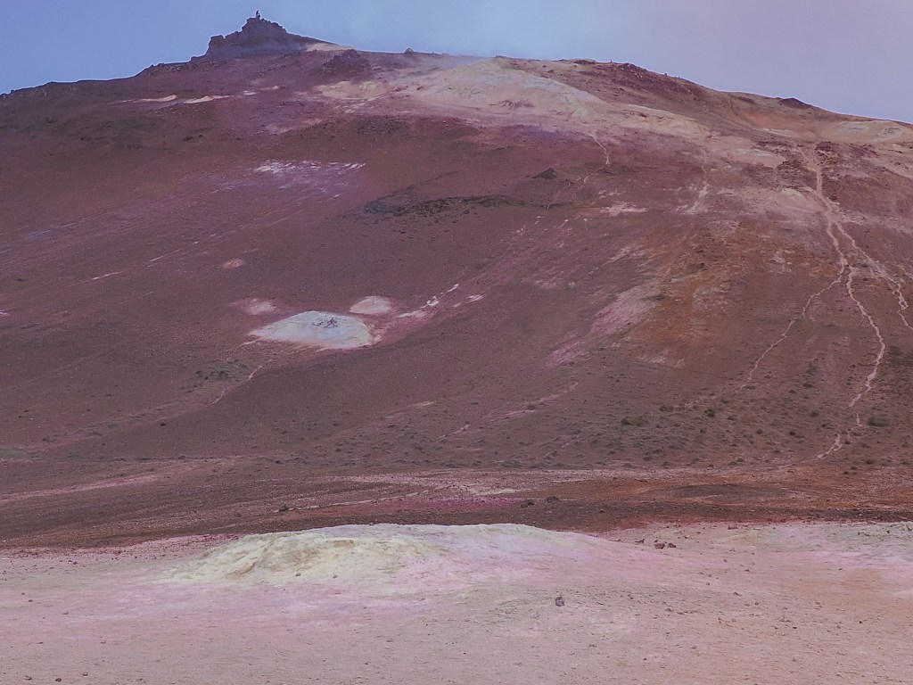
  • The mineral-stained ground โ€” bright yellow elemental sulfur crusts around the most active vents, with rust-orange and white patches from iron oxide and silica deposits nearby.
  • Mt. Nรกmafjall โ€” the orange-toned rhyolite mountain towering over the field. If you have extra time, a hike up gives you a sweeping view down over the entire geothermal area and Lake Mรฝvatn beyond it.
  • The two 1950s boreholes โ€” a pair of especially striking fumaroles drilled during a mid-century sulfur exploration effort, among 16 wells sunk in the area at the time.

Recommended time: 30โ€“60 minutes for the main field on the marked walkways; 2โ€“3 hours if you add the Nรกmafjall hike.

Safety note: stick to the marked paths. The crust around fumaroles and mud pots can look solid while hiding scalding mud or steam just beneath the surface, and severe burns are a real risk if you wander off-trail. Try to stay upwind of the strongest vents too โ€” the sulfurous gas is unpleasant at best and irritating to breathe at worst.

Parking Fee at Hverir

Hverir charges 1,200 ISK for parking, payable through the EasyPark app. There’s no separate entrance fee to walk the geothermal field itself โ€” the parking charge is the only cost of a visit. As with most managed car parks in Iceland these days, pay before you set off on foot rather than after; retroactive payment usually comes with a penalty.

Hverir sits right on the Diamond Circle route and pairs easily with nearby Krafla volcano and the Mรฝvatn Nature Baths, making it a natural stop whether you’re doing a full day loop or just passing through on the Ring Road.

Chasing Waterfalls and Basalt Columns: A Day Trip from Seyรฐisfjรถrรฐur to Stuรฐlagil Canyon

Our ship docked at Seyรฐisfjรถrรฐur, and with a full day ashore, we set out inland to chase two things Iceland does better than almost anywhere else: waterfalls and basalt columns. The route took us past Gufufoss and Rjรบkandafoss before finishing at the main event โ€” Stuรฐlagil Canyon. In my opinion, Stuรฐlagil Canyon is a must-visit in Iceland.

First Stop: Gufufoss

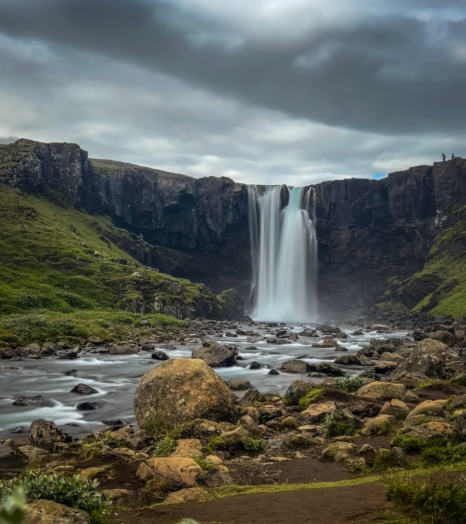
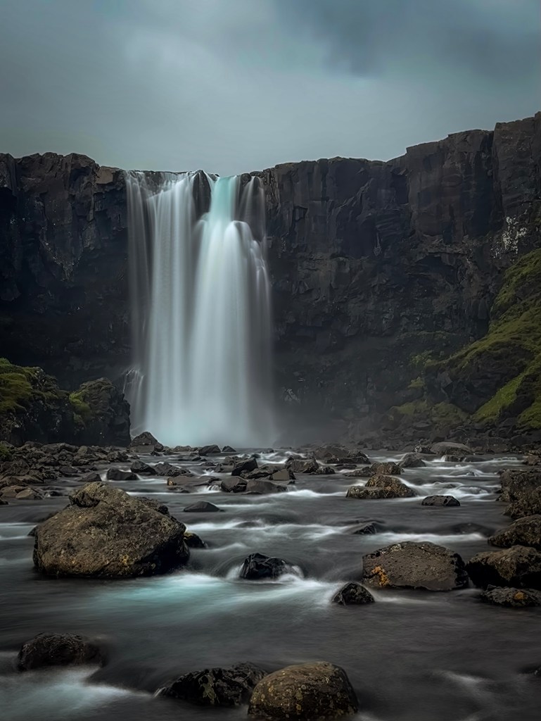
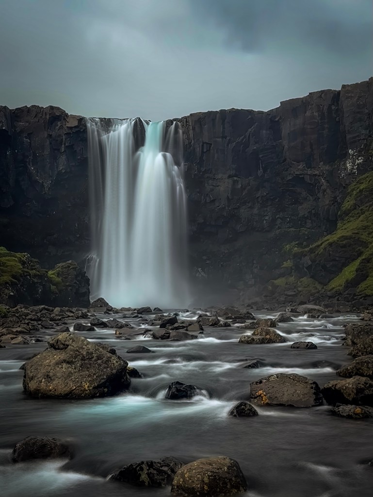
Just outside Seyรฐisfjรถrรฐur, Gufufoss drops in a single, broad curtain over a dark basalt cliff into a boulder-strewn river. Under the heavy cloud cover that day, the black rock and misty spray gave the scene an almost moody, cinematic feelโ€”a good warm-up for the dramatic landscape still ahead.

Rjรบkandafoss

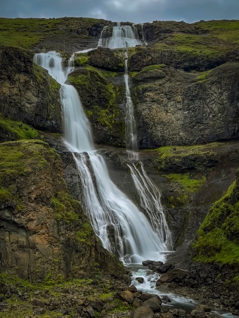
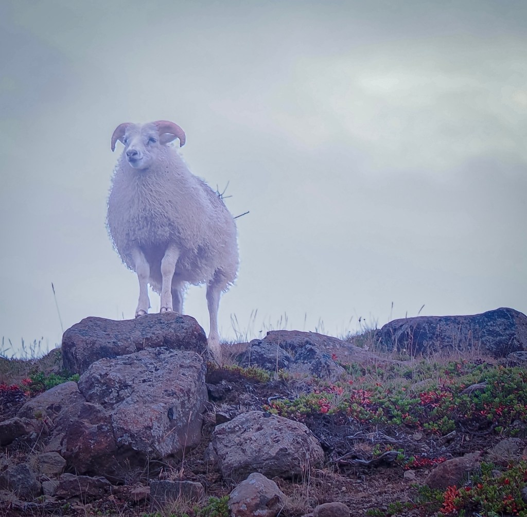
Rjรบkandafoss is a multi-tiered cascade that tumbles down a mossy hillside in a series of drops rather than one clean plunge, spreading into thin, braided ribbons of water lower down. It’s a lovely, photogenic stop, and one that rewards a little patience โ€” this is where I finally managed to catch an Icelandic sheep posing on a rock right at the edge of the falls.

I’d been trying to get a good shot of the local sheep the whole trip, and this one obliged, standing on a rock outcrop with the falls behind, looking almost like it knew it was being photographed.

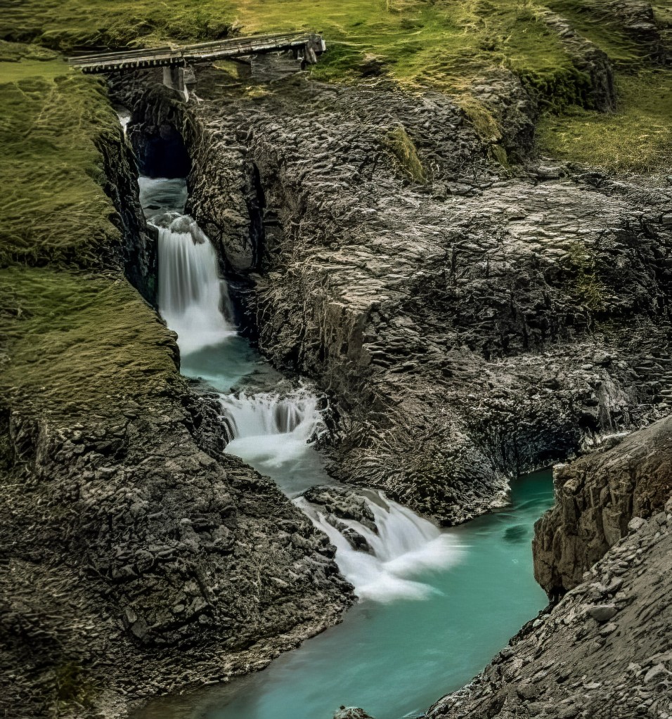
Below the main falls, the water steps down through a narrow rocky channel into a series of turquoise pools, with an old wooden footbridge crossing overhead โ€” a quieter, smaller-scale companion to the main cascade.

Stuรฐlagil Canyon

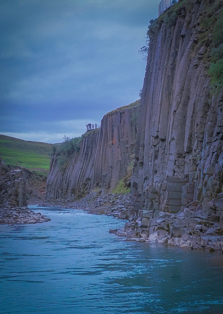
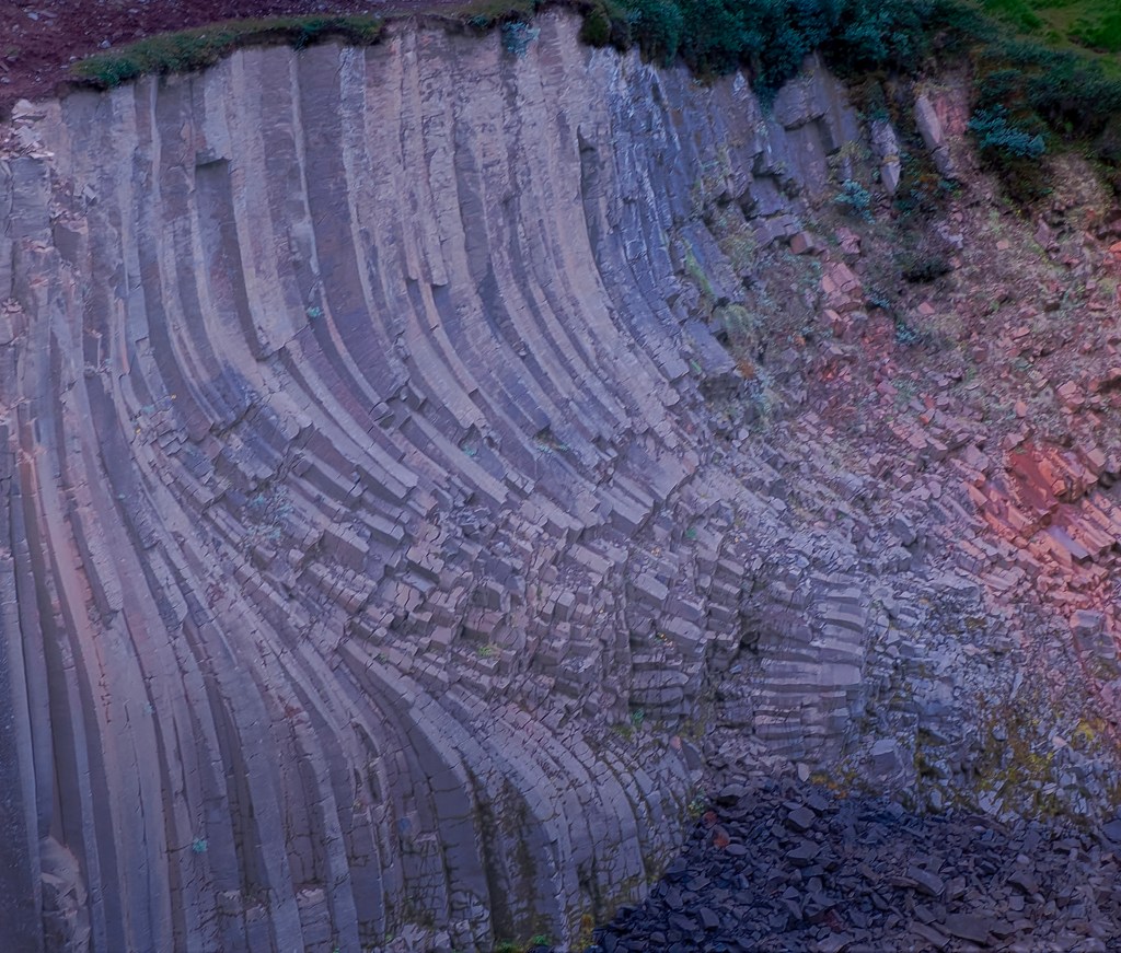
Nothing quite prepares you for Stuรฐlagil. Towering, tightly packed hexagonal basalt columns rise straight out of a glacial river that runs an almost unreal shade of turquoise โ€” a color and geology combination that really is unique to Iceland.

How the canyon was discovered: What makes Stuรฐlagil especially remarkable is how recently it came to light. The basalt columns stayed hidden under the rushing waters of the Jรถkla River for centuries. That changed with the Kรกrahnjรบkar hydropower project, built between roughly 2006 and 2009, which redirected much of the river’s flow into the Hรกlslรณn Reservoir and unexpectedly dropped water levels by several meters, exposing the rock formations that had been submerged for thousands of years. Even so, the canyon largely went unnoticed by the outside world for several more years โ€” it was local shepherds who first came across it in 2016, and it wasn’t until it appeared in an Iceland tourism campaign that same year that it became widely known and turned into one of the country’s most photographed spots.

East side-More access but longer hike

Getting there: two parking lots, two very different experiences

There are two parking areas for the canyon โ€” one on the west side and one on the east side โ€” and they offer quite different visits:

  • West side: The quicker, more accessible option. From the west parking lot, you have two choices: take the stairs and follow the marked path along the rim, or head left, which takes you down to the canyon floor for a closer, water-level view.
  • East side: This side offers the better overall experience of the canyon, but it comes at a cost โ€” it requires a considerably longer hike from the parking area to reach the viewpoints.

From the first (main) east-side parking lot near the wooden bridge, the hike to the canyon viewpoint is about:

  • ~1 hour each way (roughly 2 hours round trip)
  • Distance-wise, that’s about 4 km (2.5 miles) each way

If you’re able to drive further in โ€” across the bridge and down the rougher track to the second east-side lot near Stuรฐlafoss waterfall (best done with a 4×4, ~7โ€“8 minutes of rough driving) โ€” you cut off a good chunk of that, saving roughly 30 minutes each way.

So in practice:

  • First lot only: ~2 hours round trip
  • Second lot (4×4 recommended): ~1 hour round trip

Since we were on a tight schedule to get back to the ship in time, we had to take the west parking lot. It was still spectacular, but I’d love to go back someday and do the east side hike properly for those better views.

One nice bonus on the west side: from the observation point right at the parking lot, you can also see a small waterfall tucked into the canyon โ€” an unexpected little extra we weren’t specifically looking for.

Parking lot addresses & GPS

Both sides are reached by turning off the Ring Road (Route 1) onto Road 923, then onto the gravel Jรถkuldalsvegur โ€” there’s no street “address” as such, since it’s rural farmland, so GPS coordinates and the Google Maps search names below are the most reliable way to navigate.

  • West side (near Grund farm): Search “Stuรฐlagil Canyon,” “Stuรฐlagil West Side Parking,” or “Stuรฐlagil Canyon Main Access” in Google Maps. Approximate coordinates: 65ยฐ09’48.6″N, 15ยฐ18’26.3″W (65.1635, -15.3073). This is the larger, easier-access lot with paid restrooms, plus a gift shop and food truck.
  • East side (near Klaustursel farm): Search “Stuรฐlagil East Side Parking” or “Stuรฐlagil (Bridge parking).” Approximate coordinates: 65.1879, -15.2854. This first lot sits right next to a white wooden bridge over the Jรถkla River. A second, rougher lot (“Parking Klaustursel” / “Parkplatz Klastrusel”) lies further in near Stuรฐlafoss waterfall โ€” reachable by 4×4 in about 7โ€“8 minutes, or on foot, and it shortens the hike considerably.

Other helpful tips for visiting

  • Fees: The west-side lot at Grund charges a parking fee (around 1000 ISK per car), which also covers restroom access. There are no facilities at all on the east side, so plan accordingly.
  • Footwear: Wear sturdy, grippy shoes โ€” the east-side trail is rugged in places and the rocks near the water can be slippery.
  • Timing: The east-side hike runs roughly 1 hour each way (2 hours round trip) from the first parking lot, or about 30 minutes less if you can drive to the second lot. The west side is a much quicker in-and-out via a metal staircase (roughly 240 steps).
  • River color: The water is at its most vivid turquoise from spring through mid-summer; by late summer, increased glacial melt can turn it a silty gray, so visiting earlier in the season helps for photos.
  • Safety: The Jรถkla is considered one of the more dangerous rivers in Iceland โ€” stay well back from unprotected edges, especially in wet or windy conditions.
  • En route bonus: Look out for Stuรฐlafoss, a basalt-column waterfall along the east-side trail โ€” a nice photo stop partway through the hike.
  • If short on time (like us): The west side is the better choice for a quick, guaranteed view without committing to a multi-hour hike โ€” just know you’ll be looking across the river rather than standing among the columns.

Even from the west side, the scale of the columns and the color of the water made it easy to see why this place, hidden for so long, has become one of Iceland’s most talked-about natural sights.

Seyรฐisfjรถrรฐur Travel Guide: Rainbow Street, the Blue Church & Best Things to Do

Seyรฐisfjรถrรฐur is the Most Photographed Town in East Iceland, and there is a reason for it.

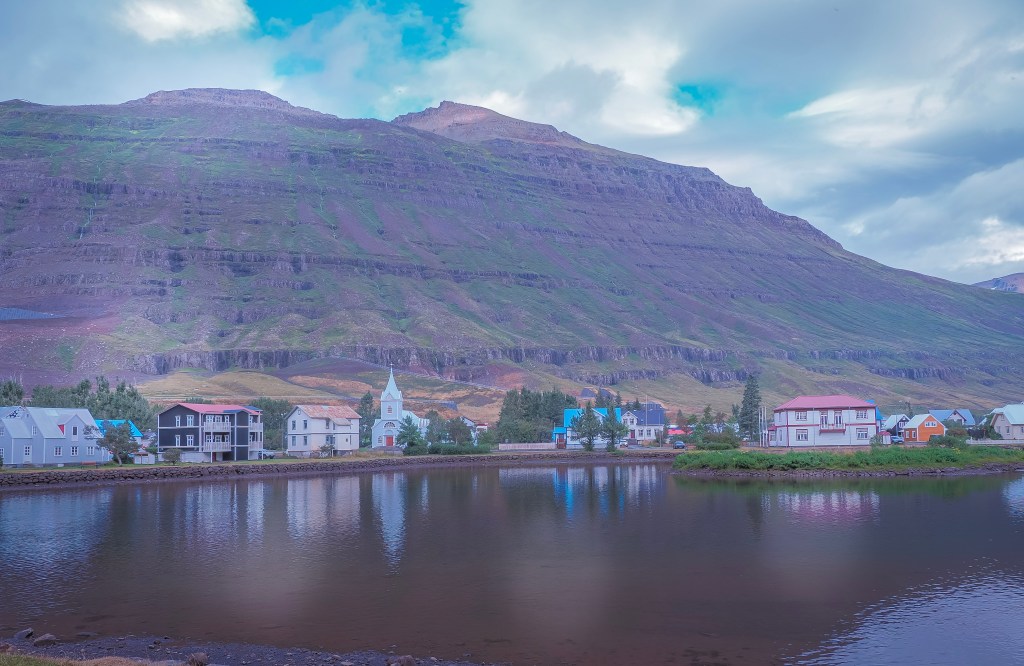
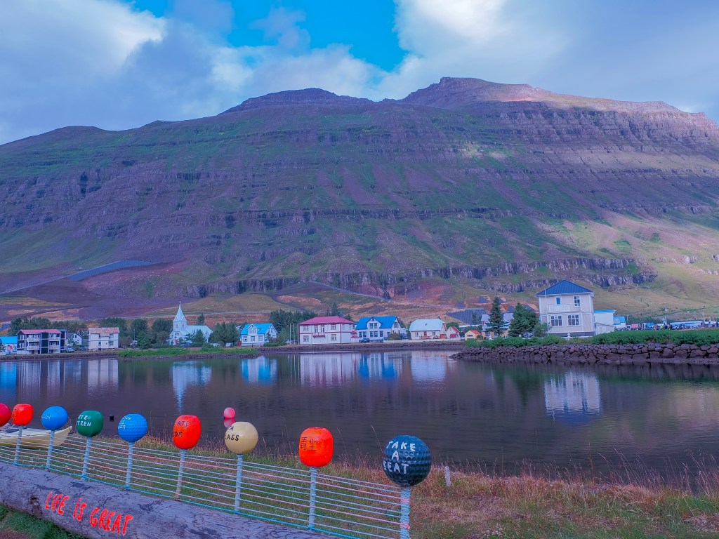
After two rainy days in a row, Seyรฐisfjรถrรฐur finally gave us sun โ€” and it turned out to be the perfect town for it. We woke up to the ship easing into the fjord, and the first thing that hit me wasn’t the colorful houses or the church everyone talks about; it was the waterfall. There’s a huge one sitting right above the town, practically part of the skyline, tumbling down the mountainside as if it’s built into the place. Waking up to that view, after grey skies at the glacial lagoon and again at Mรฝvatn, felt like Iceland had finally decided to show us its bright side.

We got off on the first tender so we’d have the town mostly to ourselves before the crowds came ashore, and just wandered. Seyรฐisfjรถrรฐur is small enough that “wandering” is basically the whole itinerary โ€” it’s a town of roughly 676 people tucked at the end of a fjord, ringed by steep mountains, and every direction you look has either colorful timber houses, cascading water, or both.

Rainbow Street and the Blue Church

This is the image everyone has of Seyรฐisfjรถrรฐur before they’ve even been there โ€” a street painted in rainbow stripes leading straight up to a vivid blue church. The church itself was actually built in Norway back in 1894 and shipped to Iceland in pieces, which explains the distinctly Norwegian-style timber architecture that runs through the whole town. The rainbow street below it (officially Norรฐurgata) was painted as a community project and has become the town’s unofficial symbol. Getting there early on the first tender paid off โ€” by the time we looped back through later, the street was noticeably busier.

The Ferry Town

Wandering further along the harbor, we noticed a long line of RVs rolling off a large ship docked nearby, and it took us a minute to place it โ€” Seyรฐisfjรถrรฐur is the arrival port for the Smyril Line’s Norrรถna ferry, which connects Iceland to the Faroe Islands and Denmark. It’s the only sea link between Iceland and mainland Europe, so for a lot of travelers with their own vehicles, this sleepy little fjord town is their actual entry point into the country. Watching a ferry’s worth of camper vans unload right into this tiny, colorful village was a strange, fun contrast โ€” modern road trips pouring into a town that looks like it hasn’t changed in a century.

There’s a bit of irony in arriving here by cruise ship, too: after years of large ships bringing waves of day-trippers into such a small harbor, Seyรฐisfjรถrรฐur became the first town in Iceland to put limits on cruise tourism, capping how many visitors could come ashore at once to keep the town from being overwhelmed. Taking the first tender in suddenly felt like good timing, not just preference.

A Fjord With a Long Memory

For a town this small, Seyรฐisfjรถrรฐur carries a surprising amount of history. Archaeologists have dated the remains of an old farmstead here to the 10th century, with even older burial finds pointing to settlement in the 800sโ€”making this one of the earliest-inhabited corners of Iceland, according to legend, first claimed by a settler named Bjรณlfur, after whom the mountain looming over the town is named. The town itself didn’t really take shape until the mid-1800s, when Norwegian herring fishermen settled the fjord, which explains why so much of the architecture still looks transplanted from Norway rather than native Icelandic. A Norwegian-born merchant named Otto Wathne became something of a local legend in that era, and the town still has a monument to him. The fjord’s naturally sheltered harbor also meant it was often first in line for new technology โ€” Iceland’s first telephone line reportedly ran through here before reaching the rest of the country โ€” and during World War II, the town served as one of the Allies’ main bases in Iceland.

More recently, in December 2020, Seyรฐisfjรถrรฐur was hit by a series of landslides โ€” including the largest ever recorded to strike an urban area in Iceland. No one was killed, but over a dozen buildings were destroyed, some historic timber houses among them, and the town was cut off for a time while it recovered. Walking those same streets in the sun, it was hard to picture, but it added a layer of resilience to a town that already felt like it punched above its weight.

Around Town

Beyond the church and the street, Seyรฐisfjรถrรฐur has a genuine creative pulse. The Skaftfell Art Center anchors the town’s art scene, and out along the water there’s the Tvรญsรถngur sound sculpture โ€” a set of five interconnected concrete domes designed around Iceland’s tradition of five-tone harmony, each dome resonating with a different note when you stand inside it. There are a couple of other public art pieces worth hunting down too: a sculpture marking the laying of Iceland’s first undersea telegraph cable in 1906, which effectively connected the country to the rest of the world for the first time, and another piece the town commissioned as a gift to itself for its 100th anniversary back in 1995. The whole town has apparently been a filming location too, including a scene from The Secret Life of Walter Mitty, which honestly checks out โ€” it does have that “too picturesque to be real” quality on camera.

The Waterfall Behind Town

That waterfall we spotted from the ship has a name โ€” Bรบรฐarรกrfoss โ€”, and it’s an easy 5-to-10-minute walk up from the town center, with a great view back down over the harbor and the rainbow street from above. For anyone with more time, a longer trail follows the Fjarรฐarรก River upstream through a small forested stretch, passing several more falls (the river reportedly has around 25 of them scattered along its length) on the way to the larger Gufufoss waterfall further up the valley.

From Seyรฐisfjรถrรฐur: Stuรฐlagil Canyon

After an hour of roaming the town, we booked a Viator day tour out to Stuรฐlagil Canyon and its waterfalls โ€” one of East Iceland’s most striking natural sites, and dramatic enough that it deserves its own post. We used this Viator tour from Seyรฐisfjรถrรฐur to Stuรฐlagil Canyon

Things to Do Around Seyรฐisfjรถrรฐur

If you have more time here than a short shore excursion, this little fjord town has more range than it first lets on:

  • Visit Gufufoss– Situated on the outskirts of Seyรฐisfjรถrรฐur, Gufufoss stands 88ft tall. It gets its name from the Icelandic “gufu”, meaning steam, referring to the water spray caused by the plunging falls. We visited as part of this Viator tour on our way to Studlagil Canyon.
  • Walk the Fossastรญgur trail โ€” an easy riverside path from town leading up through forest toward Fjarรฐarsel, home to Iceland’s oldest still-operating power plant (1913), with berries lining the trail in late summer.
  • Hike Vestdalur valley โ€” a longer trail past waterfalls and up to a small lake, known for plant life you won’t see elsewhere in the area; a longer route continues on toward the neighboring Borgarfjรถrรฐur valley.
  • Climb one of the peaks flanking the fjord โ€” Mt. Bjรณlfur (1,085 m) to the west and Strandartindur (1,010 m) to the east are the two most prominent summits, and the local hiking club has set up logbook boxes on seven surrounding peaks as part of a self-guided “Mountain Club” challenge, complete with a punch-card map available from the tourist information center.
  • Follow the trail toward Gullรพรบfa โ€” starting from Sรถrlastaรฐir along the Sรถrlastaรฐaรก river, this route climbs to the highest point south of town.
  • Visit Skaftfell Bistro โ€” housed in the same building as the art center, and a good stop for a meal with a side of local art.
  • Cool off (or warm up) at the pool โ€” the town has a public swimming pool and hot tubs on Suรฐurgata, plus a nine-hole golf course at Hagavรถllur for anyone traveling with clubs.
  • Time it for the LungA Arts Festival โ€” if you’re visiting in July, this international arts festival takes over the town for a week and draws artists from all over.
  • Take a day trip further afield โ€” Stuรฐlagil Canyon and the Vรถk Baths near Egilsstaรฐir are both popular longer excursions from Seyรฐisfjรถrรฐur, and in winter, East Iceland’s valleys are one of the only places in the country where wild reindeer still roam.
  • Drive (or admire) the Fjarรฐarheiรฐi mountain pass โ€” Route 93 between Egilsstaรฐir and Seyรฐisfjรถrรฐur climbs to around 600โ€“630 meters and is considered one of Iceland’s most scenic drives, with waterfalls cascading on both sides of the descent into town.

Getting to Seyรฐisfjรถrรฐur

Most visitors arrive one of two ways:

  • By road: Seyรฐisfjรถrรฐur sits 27 km (about 30 minutes) from Egilsstaรฐir via Route 93, over the Fjarรฐarheiรฐi pass. It’s a spectacular drive, but check the road.is in winter โ€” the pass can close in bad weather.
  • By sea: Besides cruise ship tenders like ours, this is the only Icelandic port served by an international ferry โ€” the Smyril Line’s Norrรถna, arriving weekly from Tรณrshavn (Faroe Islands) and Hirtshals (Denmark), a popular option for travelers bringing their own car or RV into Iceland.

There’s no direct bus service into town from outside East Iceland โ€” Egilsstaรฐir is the regional hub for buses and flights, with a short taxi or drive from there.

Whatever brings you here, give the town at least a couple of unhurried hours. The whole point of Seyรฐisfjรถrรฐur seems to be slowing down enough to actually look at it.