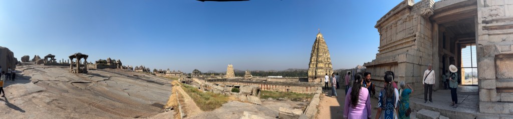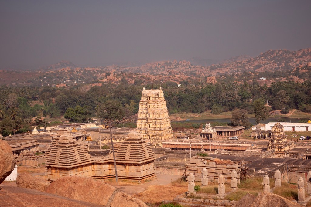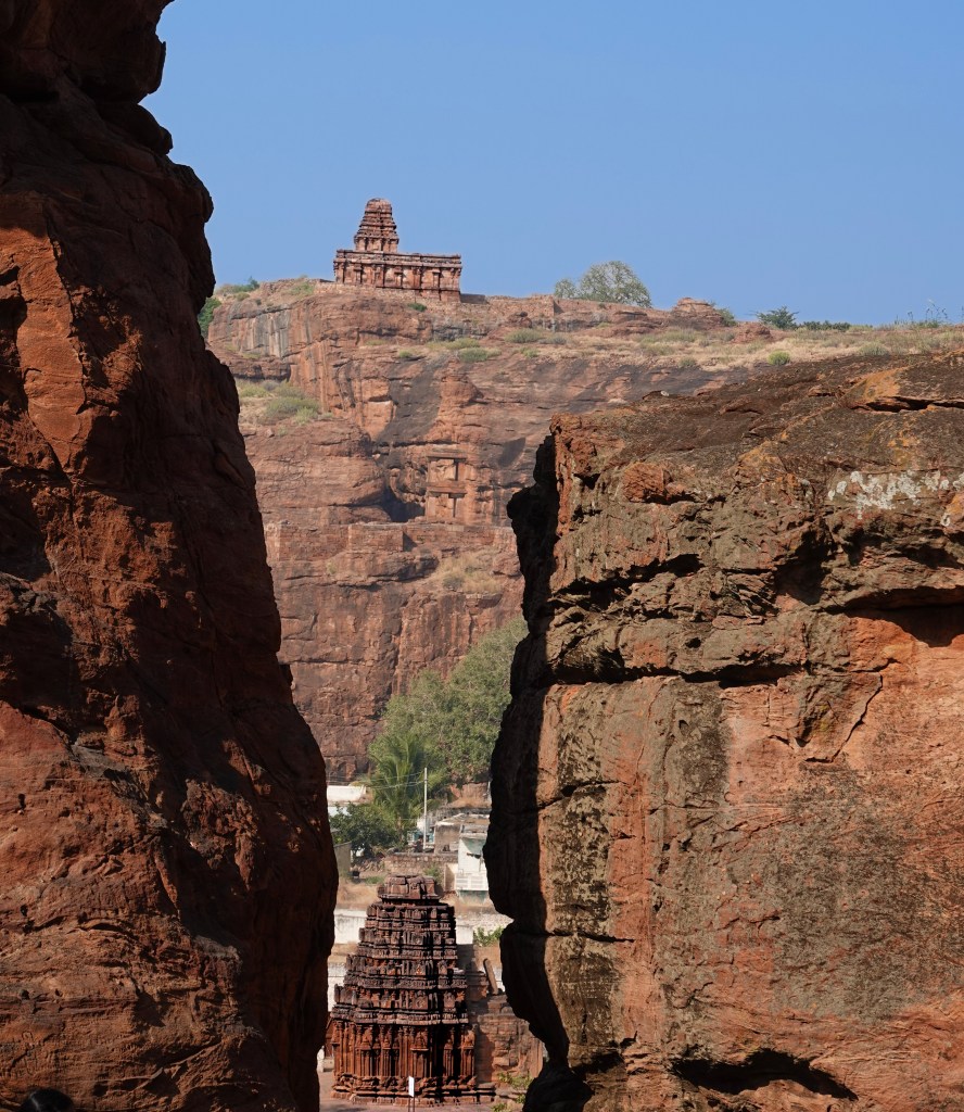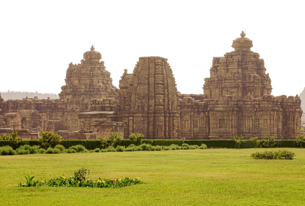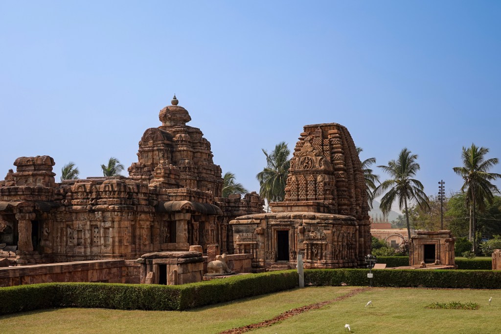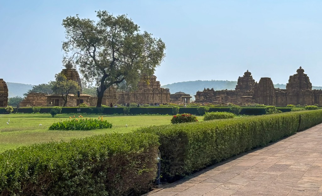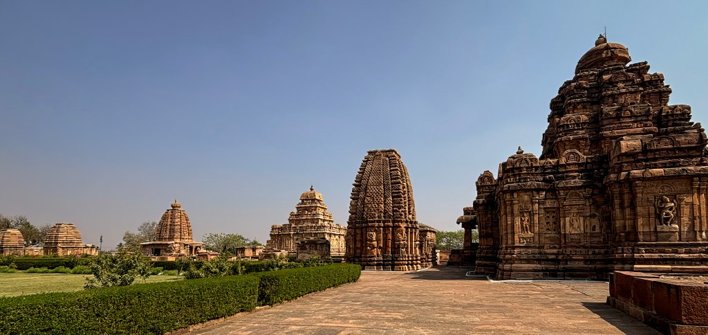
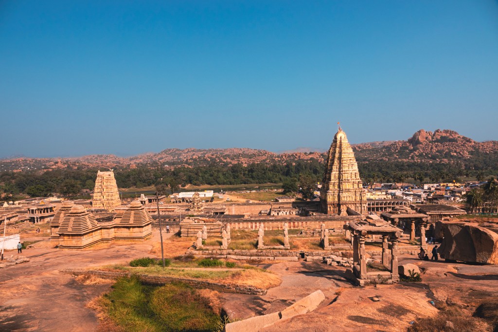
The Virupaksha Temple complex is the main destination for most visitors to Hampi. It forms a natural starting point for any exploration of this sacred landscape. During festivals, thousands gather to worship Virupaksha and his consorts Pampa and Bhuvaneshvari in the temple’s main sanctuaries.
The Bazaar and the Towering Gopura
The village of Hampi clusters around a broad street. This street once functioned as a bustling bazaar. It was a lively corridor of shops, rest-houses, and shrines. These served pilgrims much as they did in Vijayanagar times. Beginning in the 1950s, modern structures gradually obscured the historic colonnades and shrines. Government authorities have now demolished most of these additions and restored the original bazar.
Our guide said that he and his family used to live in one of those houses. These houses were built utilizing the existing pillars and walls of the ancient structures. Later, the government removed them.
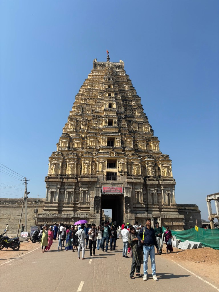
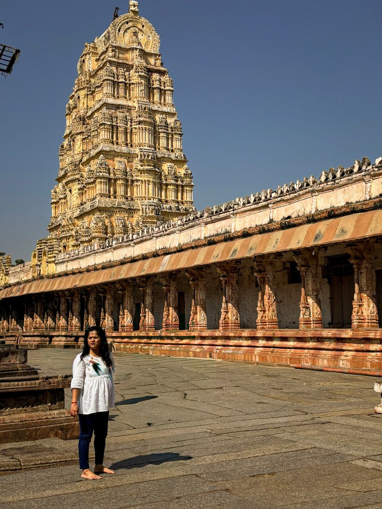
At the western end of this street rises the imposing entrance gopura of the Virupaksha Temple. It is a whitewashed tower soaring more than 50 metres. It gleams under the sun and glows under electric lights at night. Despite its grandeur, the structure is relatively recent. Its granite base and the entire brick-and-plaster superstructure date to the early 19th century. During this time, the temple and bazaar underwent extensive renovation. Curiously, no records survive identifying the patrons or builders behind this post-Vijayanagara makeover.
Architecturally, the gopura follows the classic Vijayanagara formula. It consists of a pyramidal tower of diminishing storeys. The tower is crowned by a shala (barrel-vaulted roof) and gilded kalasha finials. This lineage ultimately traces back to Tamil prototypes of the 11th–12th centuries. Inside, the pointed vault of the passageway instantly signals its later date.
Temple Elephant – You can visit the temple elephant, Lakshmi. She is not only a majestic and gentle creature. Lakshmi also holds a special place in the hearts of many visitors. As you approach her, you can make a donation to her handler. This donation helps support Lakshmi’s care and feeding. In return for your generosity, Lakshmi will bestow her blessings upon you, bringing good fortune and positivity into your life.

Krishnadevaraya’s Additions: Authentic Vijayanagara Grandeur
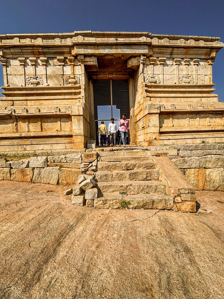
Visitors encounter a smaller gopura when stepping into the first enclosure. This structure is authentically from the Vijayanagara period. It was built by Krishnadevaraya during his coronation year, 1510 CE. Its granite base, high molded plinth, and squat brick tower are hallmarks of 16th-century craftsmanship.
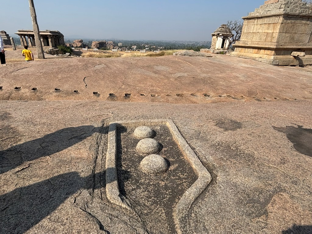
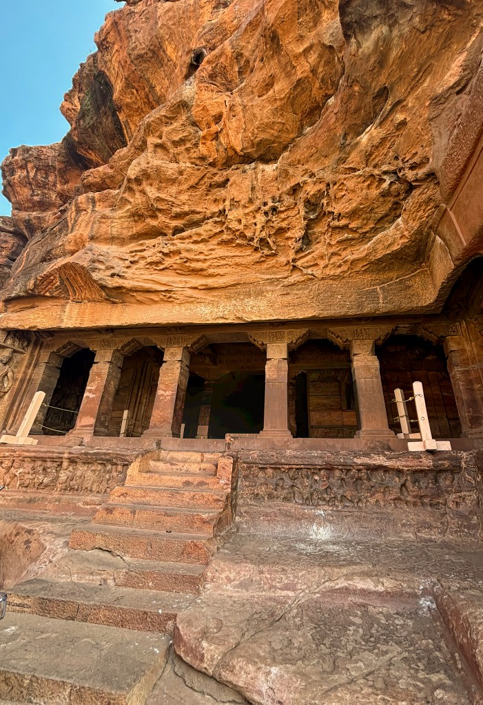
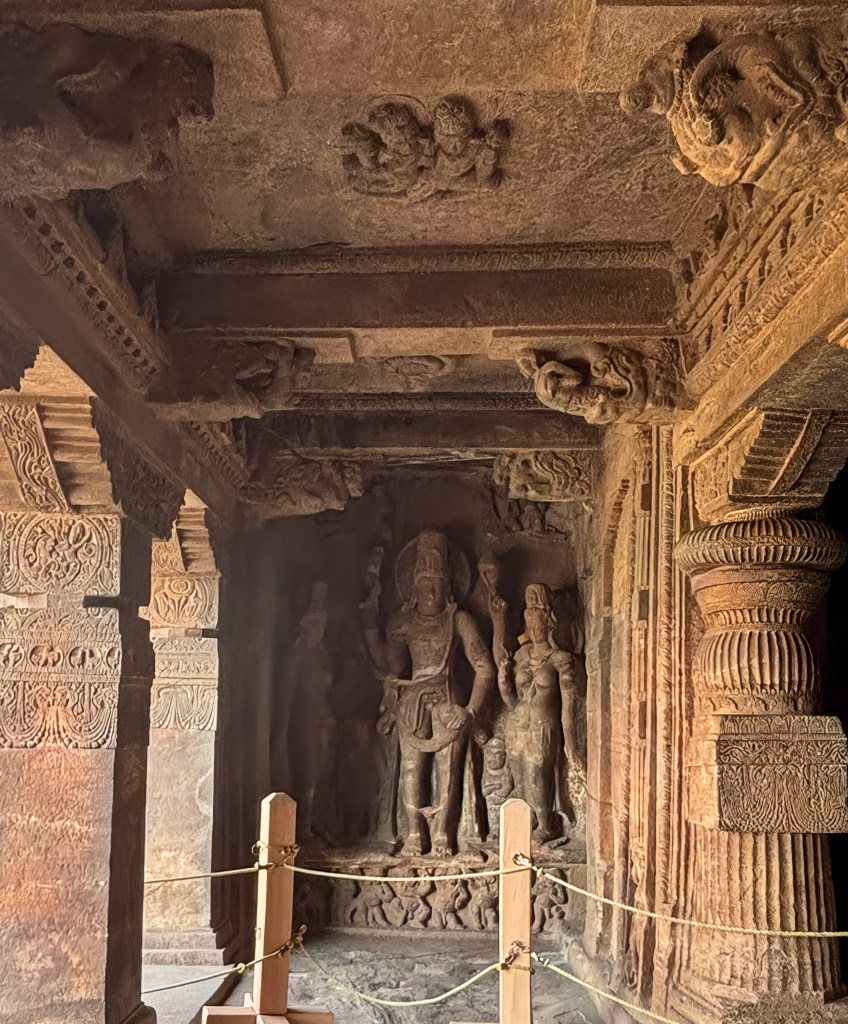
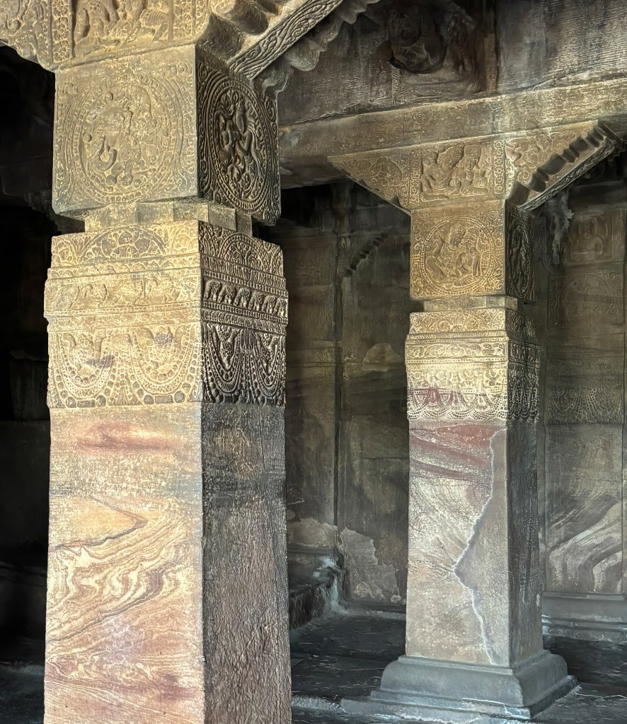
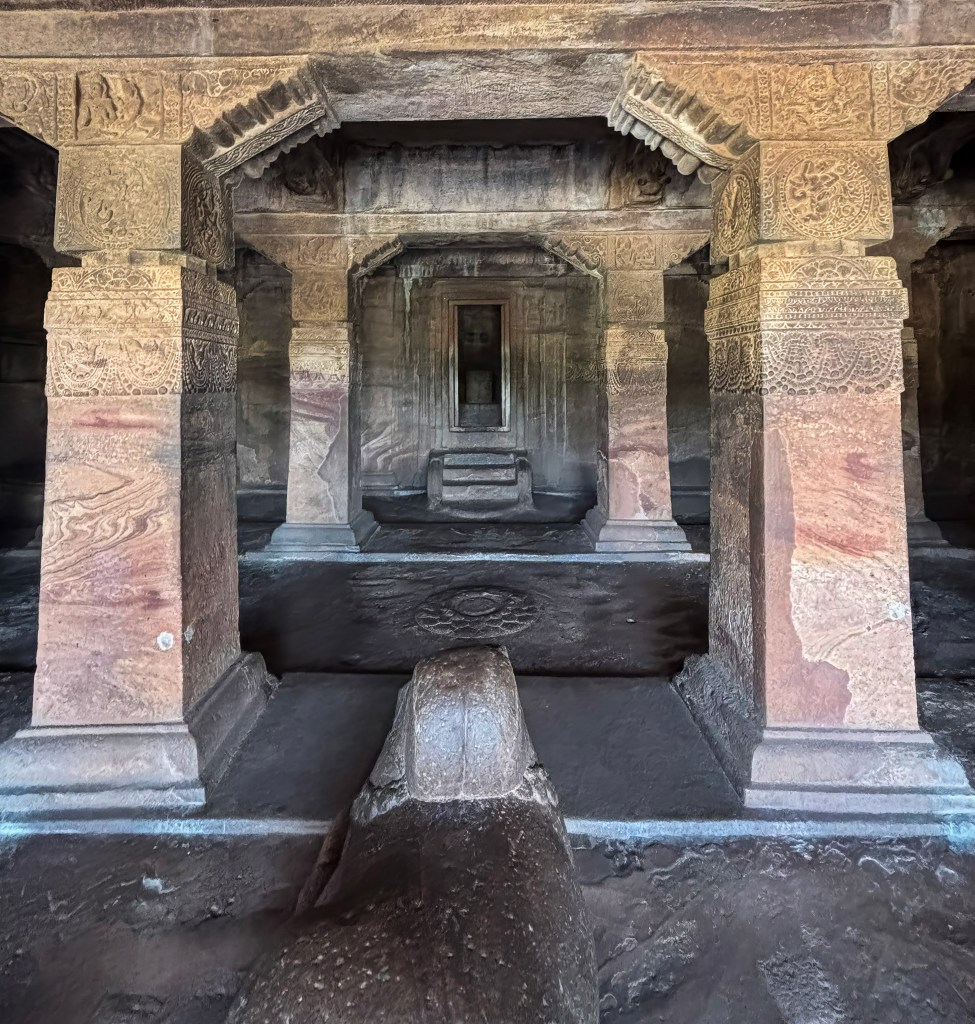
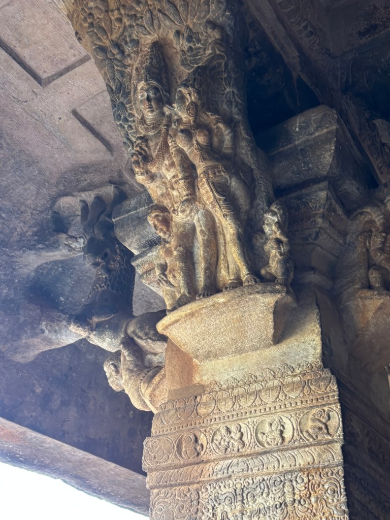
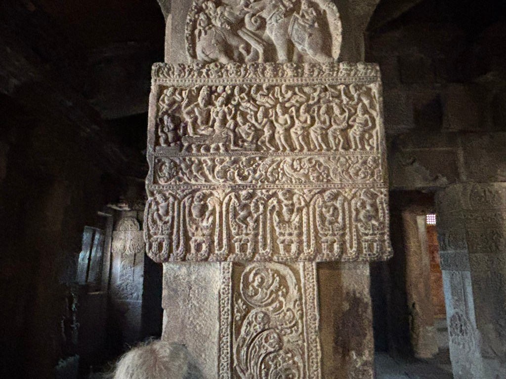
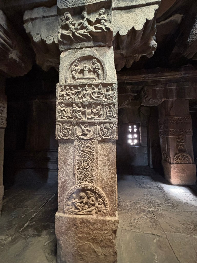
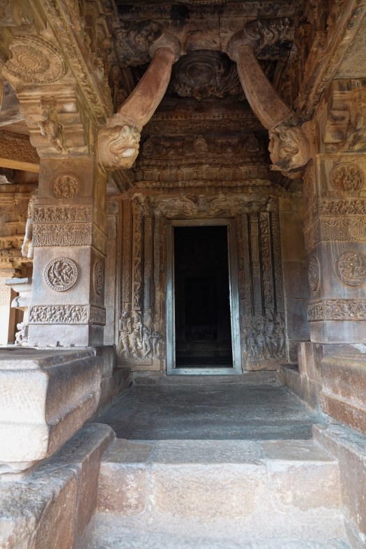
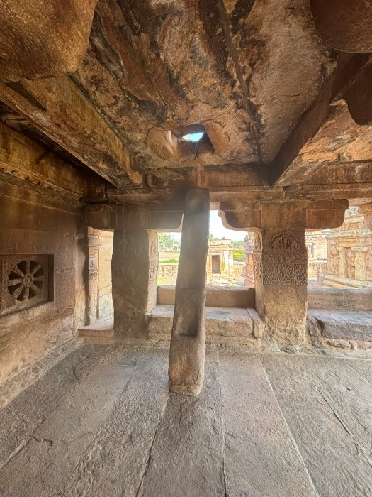
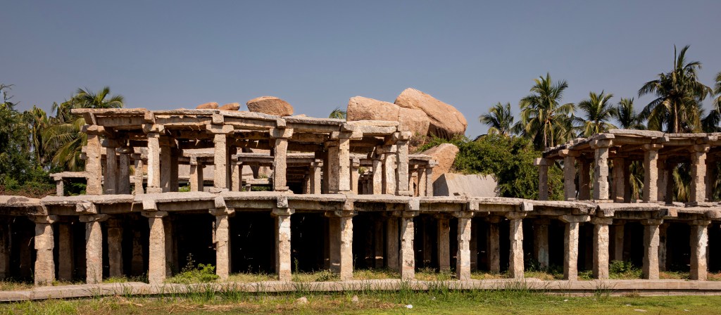
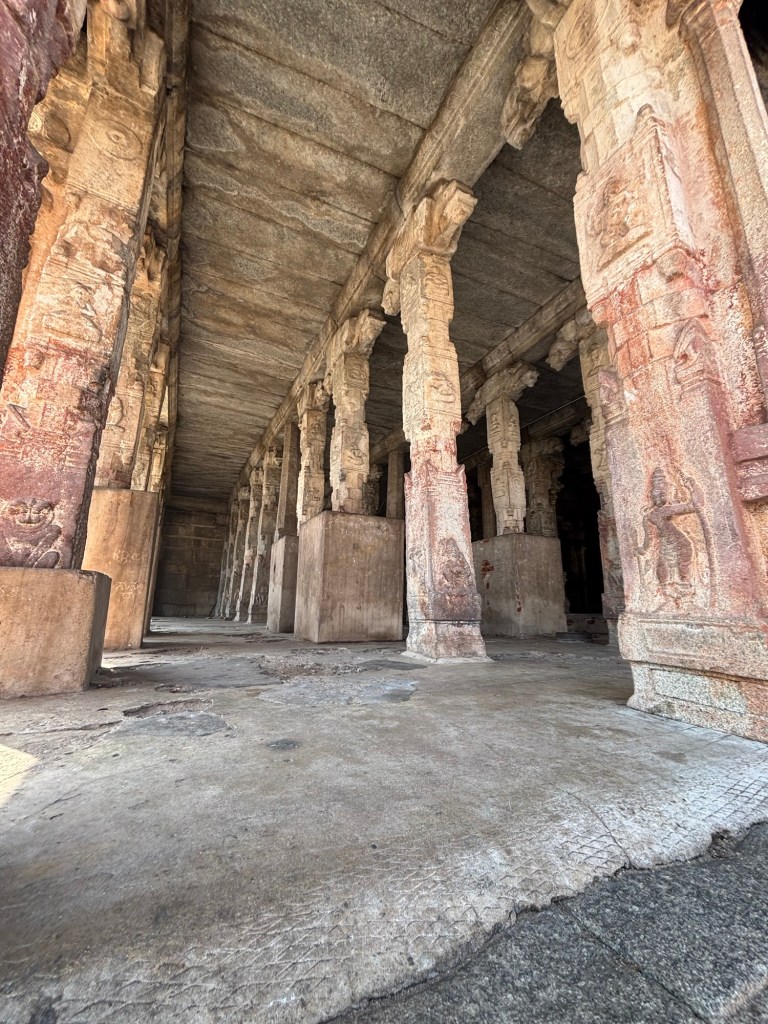
To the southwest stands the 100-columned hall, another of Krishnadevaraya’s contributions. Its three-tiered interior, open central hall, and columns with cut-out colonettes exemplify the dynamism of late Vijayanagara architecture. A small doorway leads to a kitchen. In the kitchen, a water channel is carved directly into the rising bedrock. This is a subtle but fascinating detail.
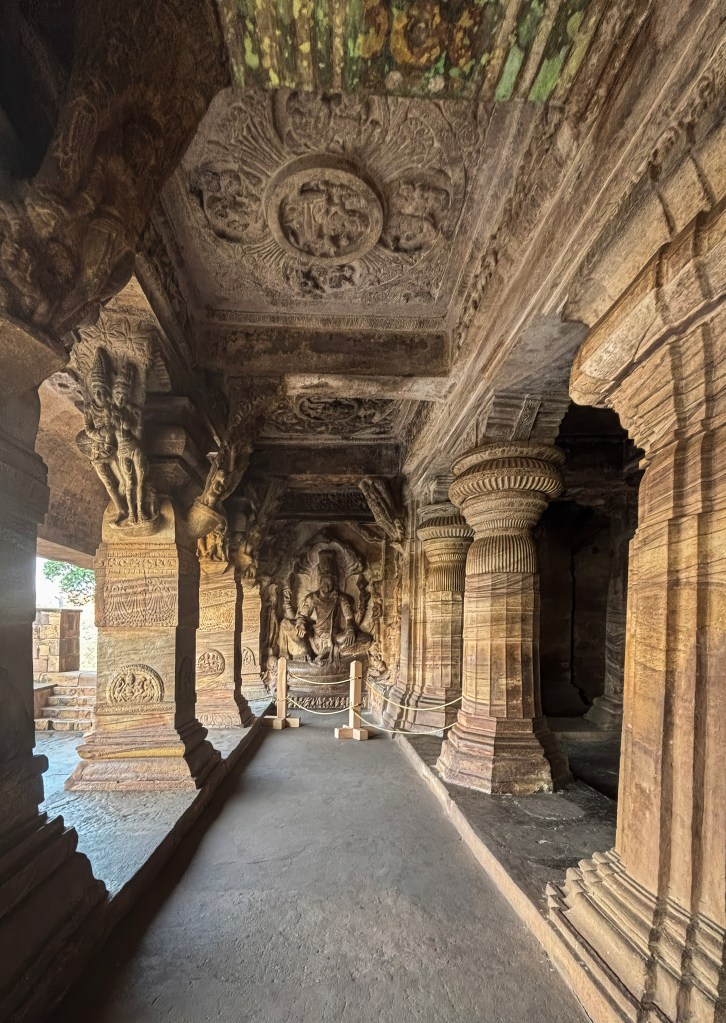
The Inner Enclosure: Unified, Ornate, and Alive with Symbolism
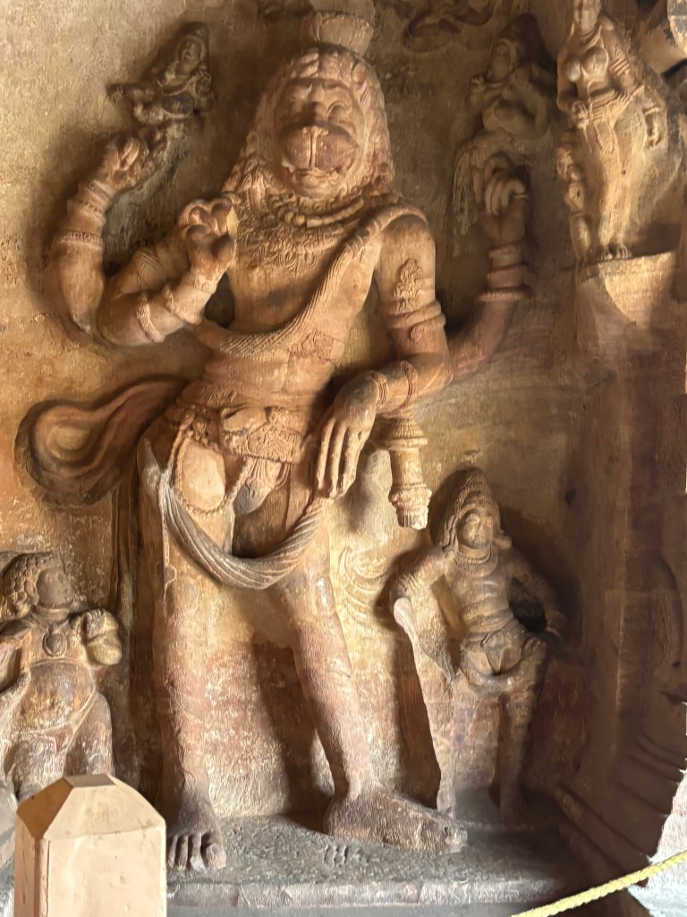
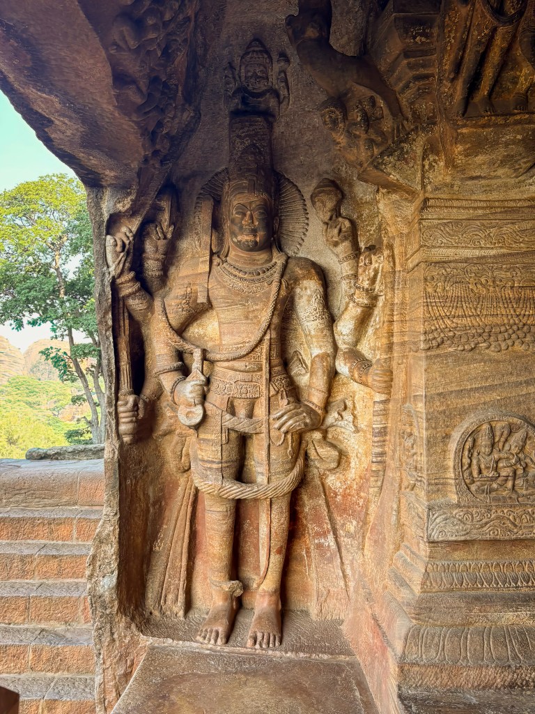
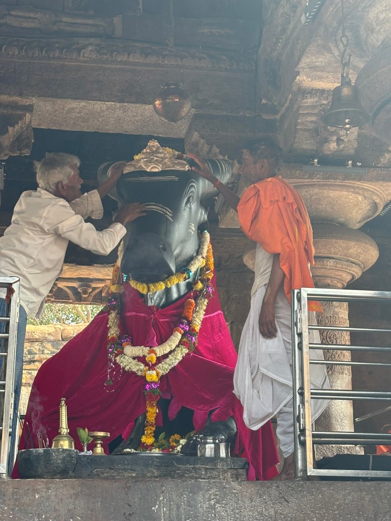
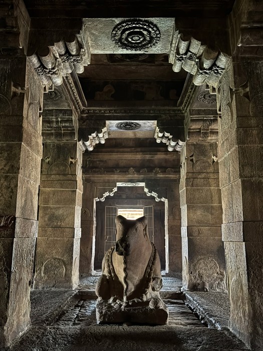
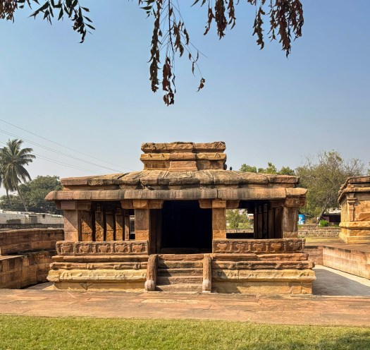
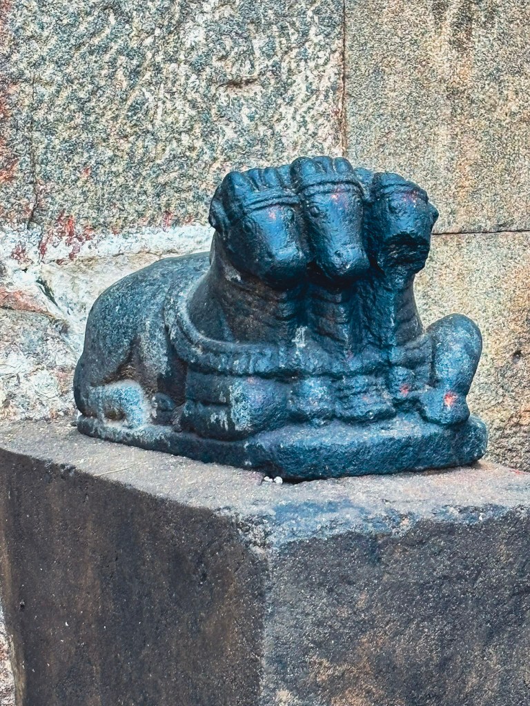
Beyond the smaller gopura lies the inner enclosure. It is more unified in appearance thanks to its colonnades with cut-out colonettes. It also features free-standing altars, dipa-stambhas, and a modest Nandi pavilion.
The open mandapa at the western end is one of the complex’s architectural highlights. Built by Krishnadevaraya in 1510, it introduces several signature Vijayanagara motifs:
- Piers with cut-out colonettes
- Dramatic rearing yalis with fierce leonine heads and raised forepaws
- Makaras with crocodilian snouts beneath the yalis
- A deep double-curved eave
- A lively brick-and-plaster parapet added during the 19th-century renovation
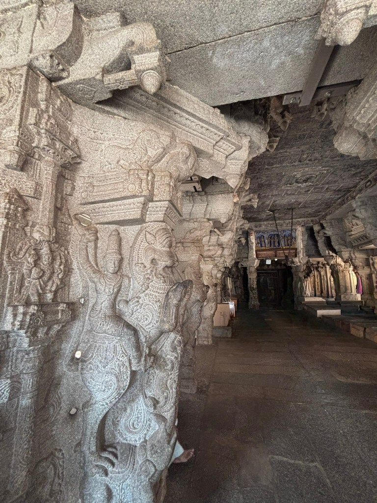
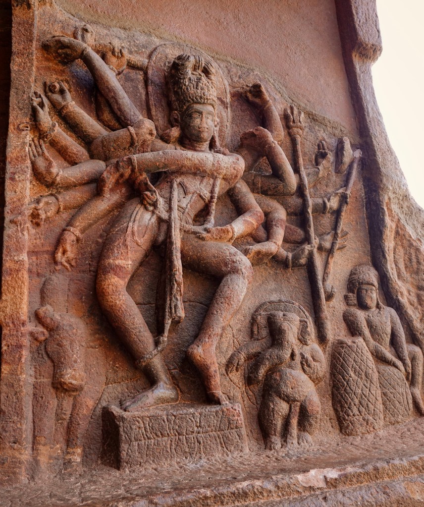
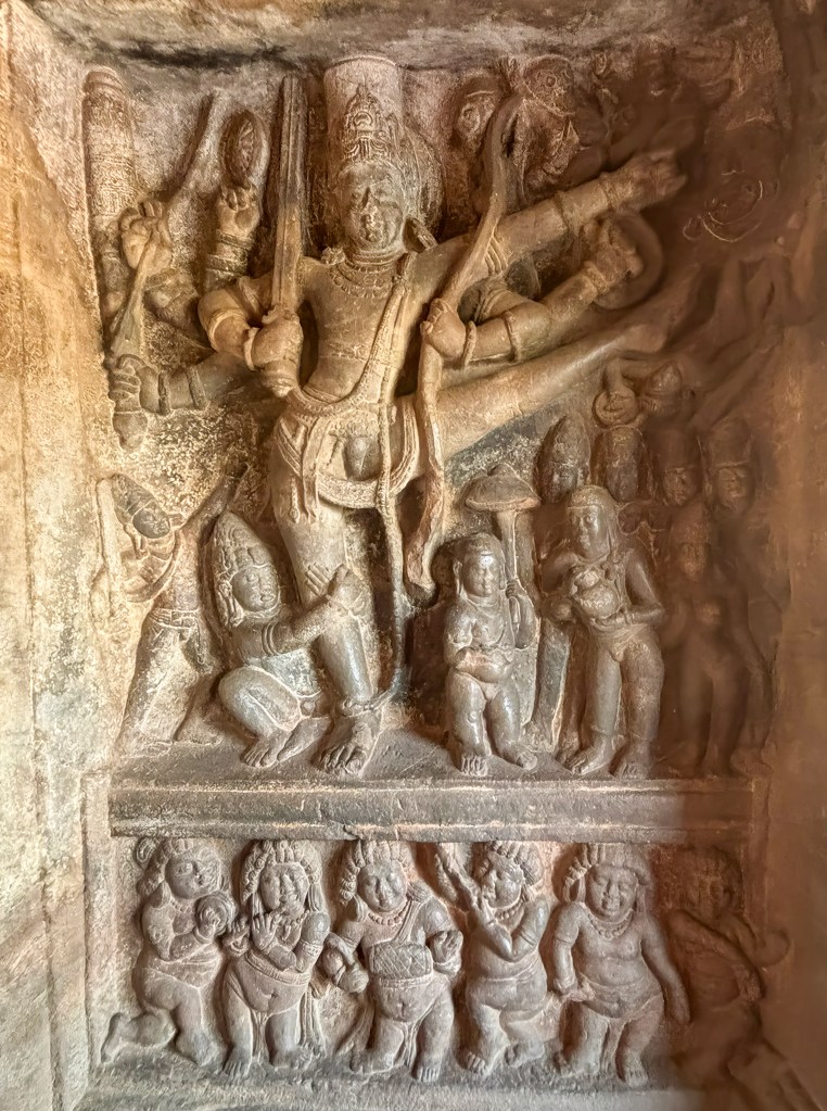
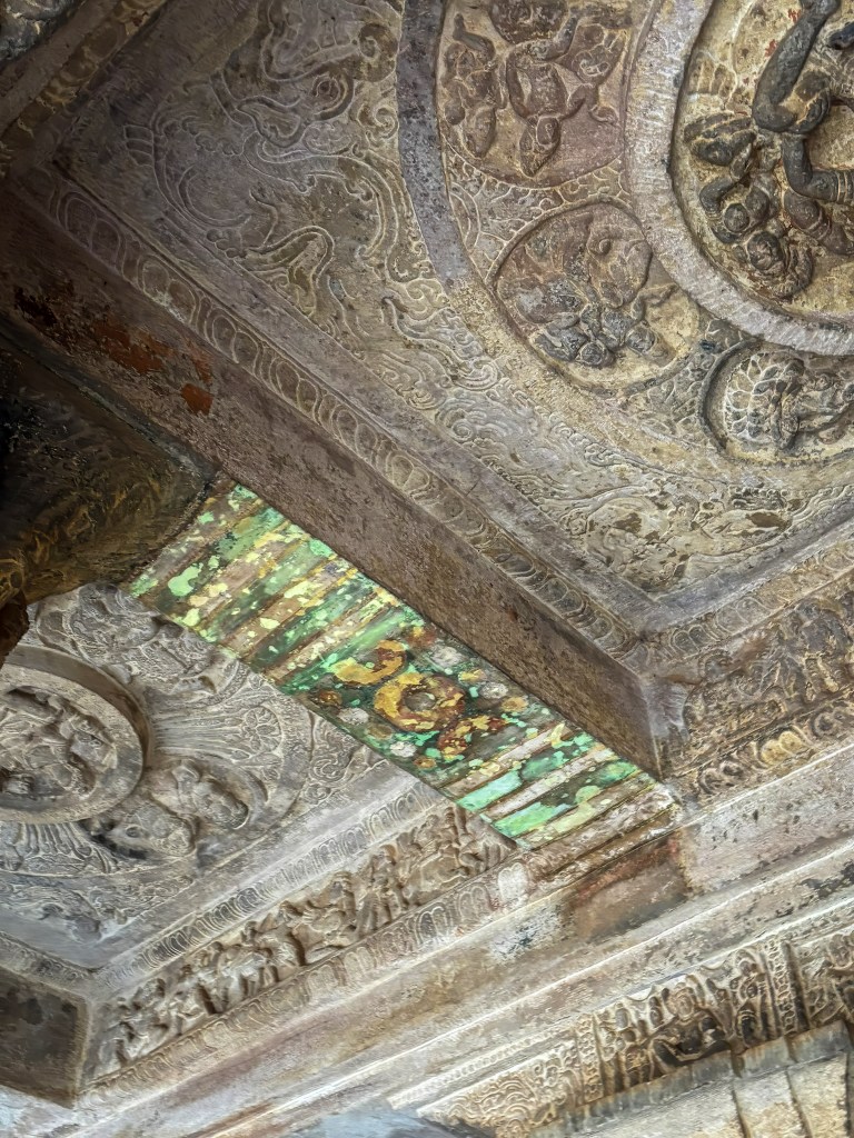
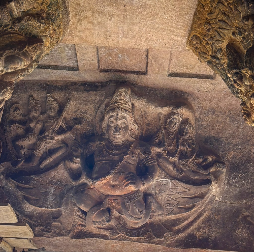
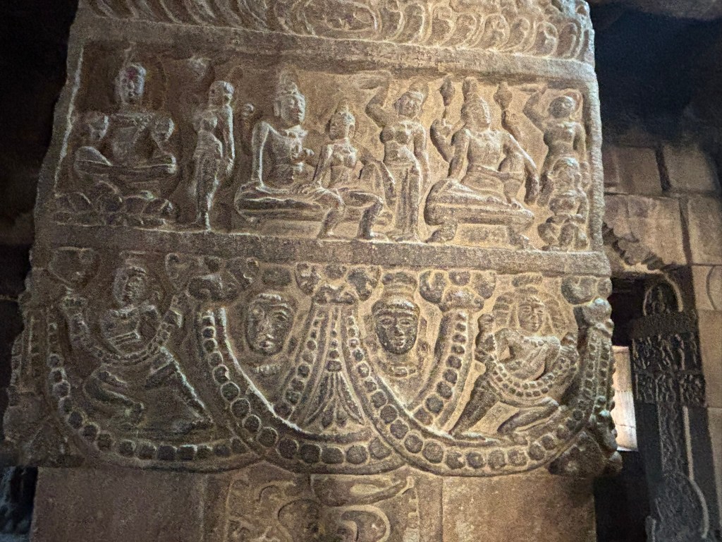
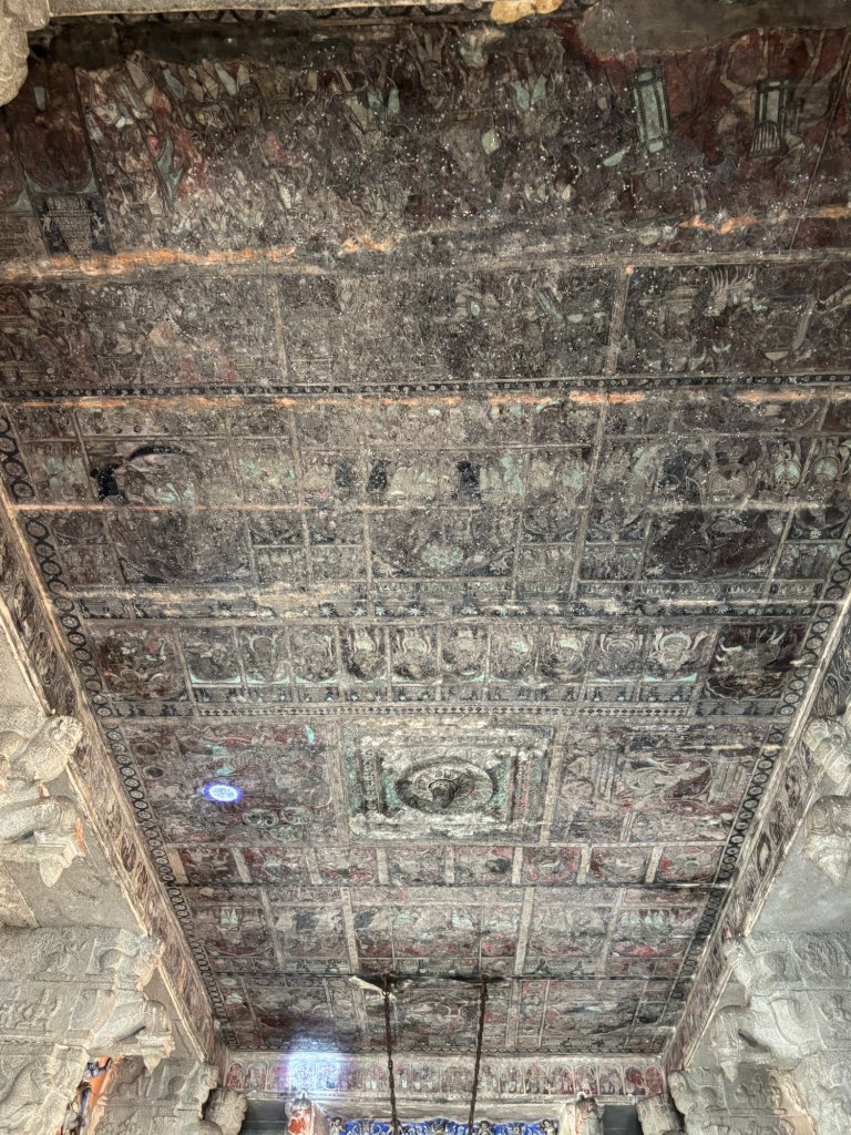
Inside, sixteen animal piers support a ceiling of inverted T-shaped beams spanning over 8 metres. The ceiling is covered with vivid early 19th-century paintings depicting:
- The marriages of Virupaksha–Pampa and Rama–Sita
- Shiva attacking the triple cities
- Kama aiming his arrow at Shiva in meditation
- Vidyaranya carried in a palanquin, surrounded by attendants in costumes and weaponry no older than 200 years
These paintings likely replaced earlier Vijayanagara originals.
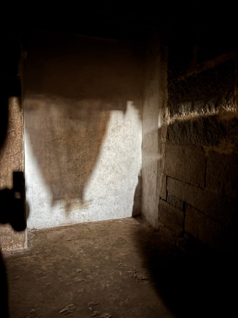
Did You Know? The Temple’s Natural Camera Obscura
Inside the Virupaksha Temple lies one of Hampi’s most magical secrets. It is a natural pinhole camera effect. This effect projects an upside-down image of the main gopura onto the wall of a darkened chamber near the sanctum. Sunlight passes through a tiny aperture in the tower’s structure. It behaves exactly like a camera obscura. This phenomenon casts a crisp, inverted silhouette of the towering whitewashed gopura onto the interior surface. This isn’t a modern trick but a quiet interplay of light, shadow, and centuries-old architecture.
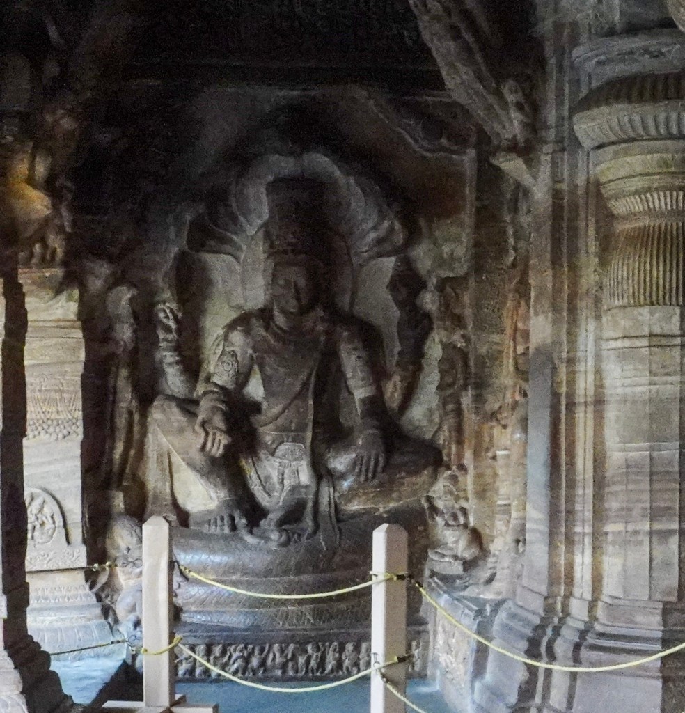
Sanctuaries of Pampa and Bhuvaneshvari
Today, devotees enter through the south porch. They offer prayers to the mukha-linga of Virupaksha, which is adorned with a brass facemask. Then, they exit through the north porch to visit the shrines of Pampadevi and Bhuvaneshvari.
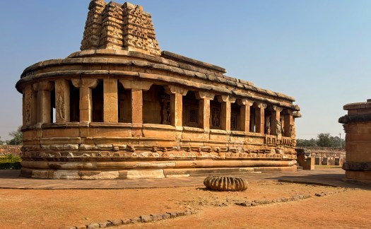
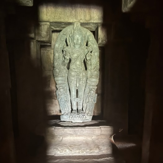
The Bhuvaneshvari shrine is particularly intriguing. Its grey-green chloritic schist columns, beams, and perforated screens date to the 10th–11th centuries. These elements were relocated from an earlier dismantled temple. They were then reassembled during the Vijayanagara period.
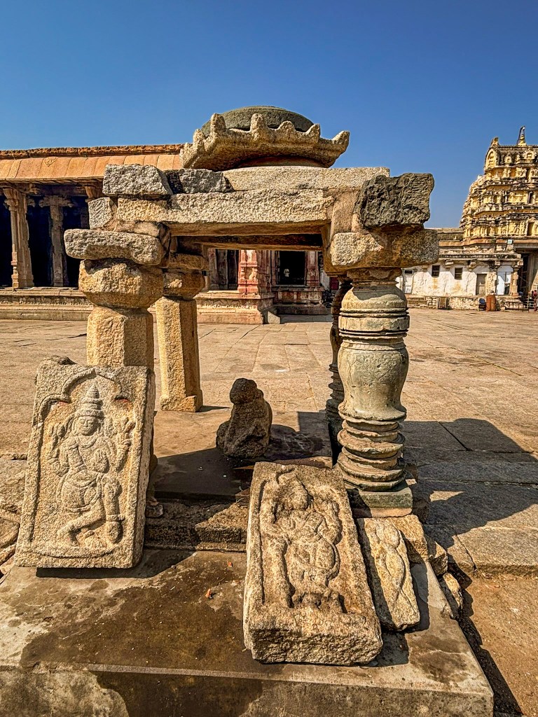
Nearby are smaller shrines, including:
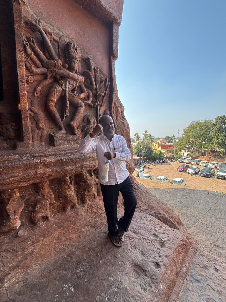
- Mahishasuramardini (Durga slaying the buffalo demon)
- Adishesha, represented by a simple wall recess framed in ornate plaster
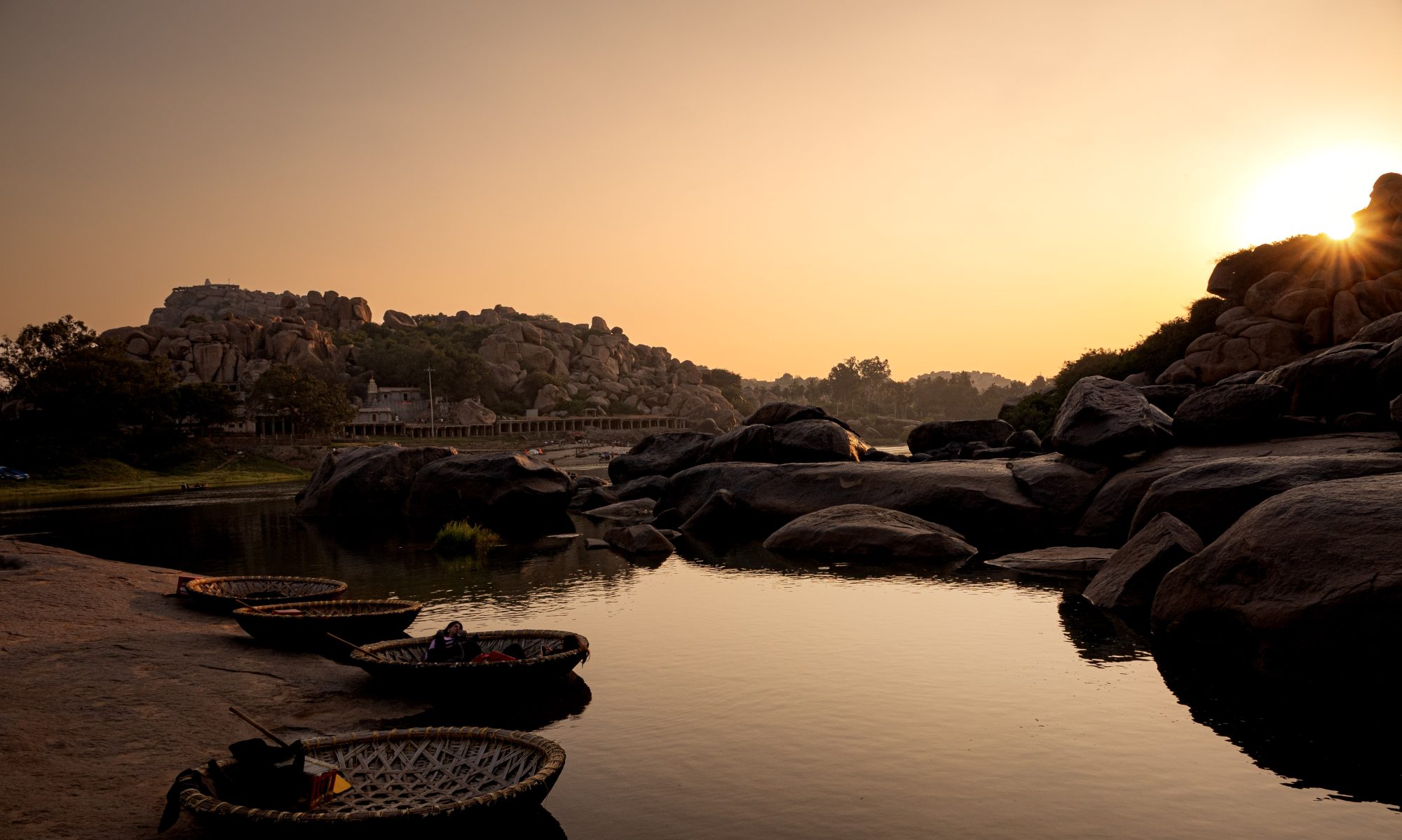
Toward the Tungabhadra: The Kanakagiri Gopura
To reach the river, devotees exit through the Kanakagiri gopura on the north side of the inner enclosure. Its whitewashed tower was renovated in the 1830s by F.W. Robinson, the District Collector of Bellary, but its granite base is a genuine 15th-century Vijayanagara structure. Inside the passageway, there are two inscribed slabs from the 12th and 14th centuries. These slabs add another layer to the temple’s long, evolving history.
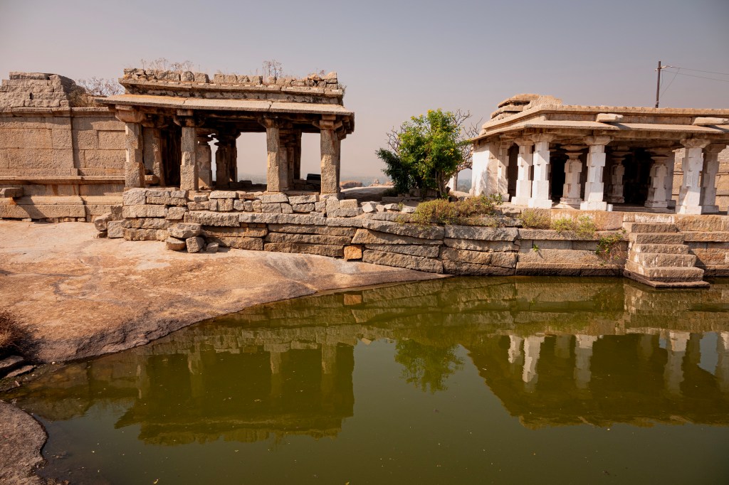
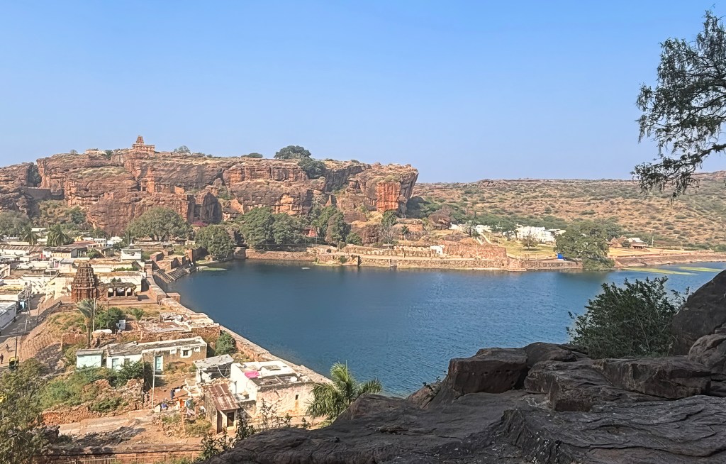
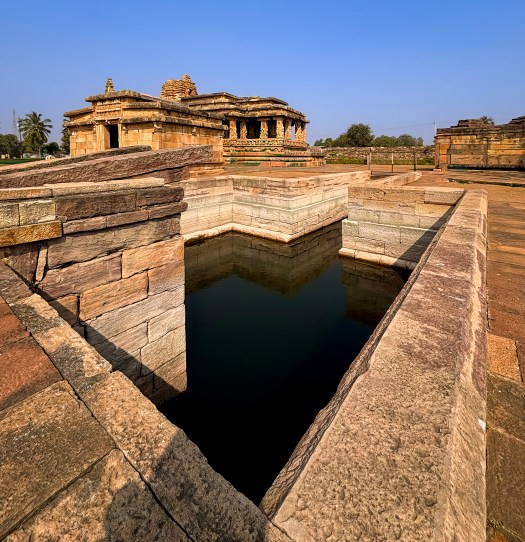
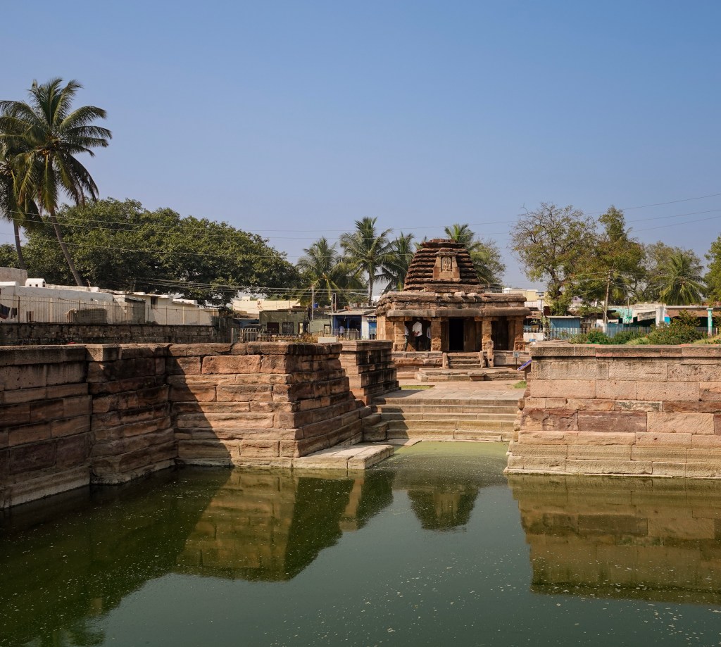
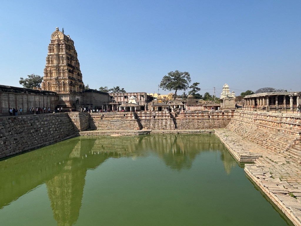
Manmatha Tank and the Durgadevi Shrine
Stepping through the Kanakagiri gopura, the path descends toward the Manmatha tank — once the principal bathing reservoir for pilgrims arriving at the Virupaksha complex. Today, its stone steps sit in varying states of subsidence, giving the tank a quiet, timeworn character. Along the western edge, a line of modest shrines overlooks the water, guiding visitors northwards toward the Tungabhadra river.
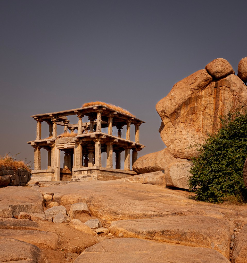
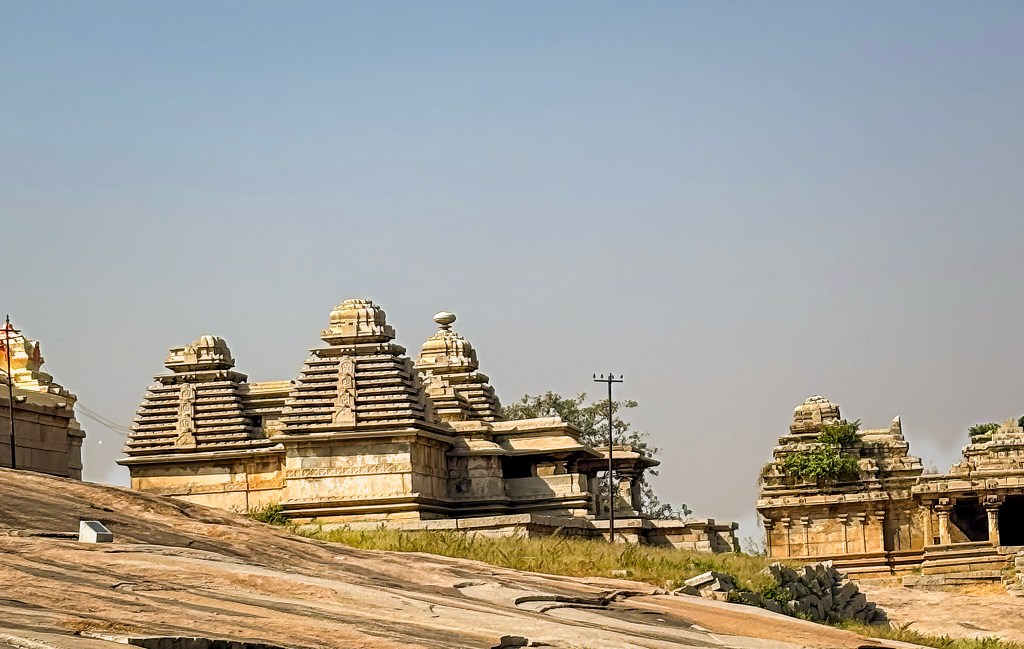
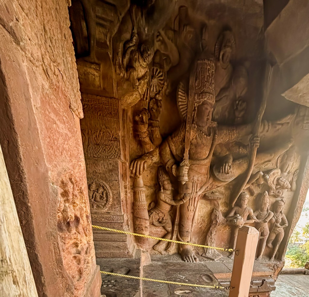
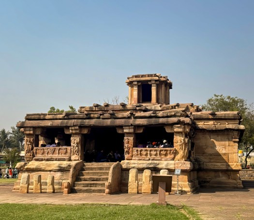
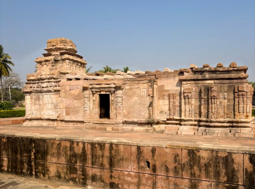
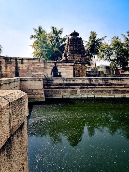
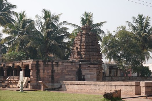
Among these structures, the Durgadevi shrine stands out as the oldest intact monument in the entire Virupaksha precinct. It is built of sandstone, in contrast to the granite used in later Vijayanagara additions. It showcases the 9th‑century Rashtrakuta idiom with plain pilastered walls. A compact pyramidal tower is capped by a kuta (square‑to‑domed) roof. Scholars often suggest that the earliest Virupaksha shrine may have resembled this form. However, it now lies hidden within centuries of later accretions.
The shrine’s granite-columned porch is sheltered by sloping roof slabs. It is a later addition. It is likely contemporary with the inscribed slab dated 1199 CE found here. This inscription is historically significant. It is the earliest known record to mention the worship of Pampa and Virupaksha at Hampi. This anchors the site’s sacred identity long before the rise of the Vijayanagara empire.
Nearby stands a striking three-dimensional sculpture of a warrior battling a lion. It is attributed to the 13th‑century Hoysala period. This sculpture is a rare pre-Vijayanagara survival in this part of the complex. The multi-armed image of Durga currently worshipped inside the shrine is modern. The other small shrines around the tank, dating to the 13th and early 14th centuries, remain relatively understated. They see limited ritual use today.
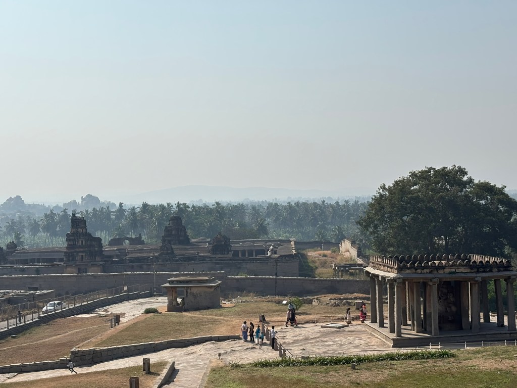
How to Visit the Virupaksha Temple Complex
⏱ Ideal Duration: 1.5–2 hours for the temple + bazaar street; longer if continuing to the Tungabhadra ghats.
🕉 Temple Timings:
- Morning: ~6:00 AM to 12:30 PM
- Evening: ~5:00 PM to 9:00 PM (Expect extended hours and larger crowds during festivals.)
🎟 Entry:
- No entry fee for the main temple.
- Photography is generally allowed in outer areas; restrictions apply inside sanctums.
👣 Footwear:
- Footwear must be deposited before entering the inner enclosure.
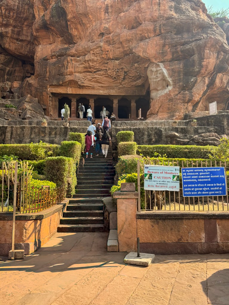
- The designated stand is just before the smaller Vijayanagara-period gopura.
📍 Best Starting Point:
- Begin at the western end of Hampi Bazaar, facing the towering 19th-century entrance gopura.
- This aligns with the traditional pilgrim route and sets up a natural flow toward the river.
🧭 Suggested Route Inside:
- Enter through the main gopura into the outer courtyard.
- Walk straight to the 1510 CE Vijayanagara gopura.
- Explore the 100-columned hall (southwest corner).
- Proceed into the inner enclosure with its colonnades and dipa-stambhas.
- Visit the open mandapa with its yali piers and painted ceiling.
- Offer prayers at the Virupaksha sanctum.
- Continue to the Pampa and Bhuvaneshvari shrines.
- Exit through the Kanakagiri gopura to reach the Tungabhadra riverfront.
🌞 Best Time to Visit:
- Early morning for soft light on the gopura and quieter sanctums.
- Late afternoon for photography along the bazaar colonnades and river ghats.
📿 Festival Note:
- During Pampa Devi’s annual festival and major Hindu holidays, expect dense crowds and long queues.
- The temple becomes a vibrant, immersive experience — but plan extra time.
💡 Insider Tip:
- Look up inside the open mandapa. The early 19th-century ceiling paintings are easy to miss. However, they are incredibly rewarding. Pay special attention to the Vidyaranya panel in the procession.