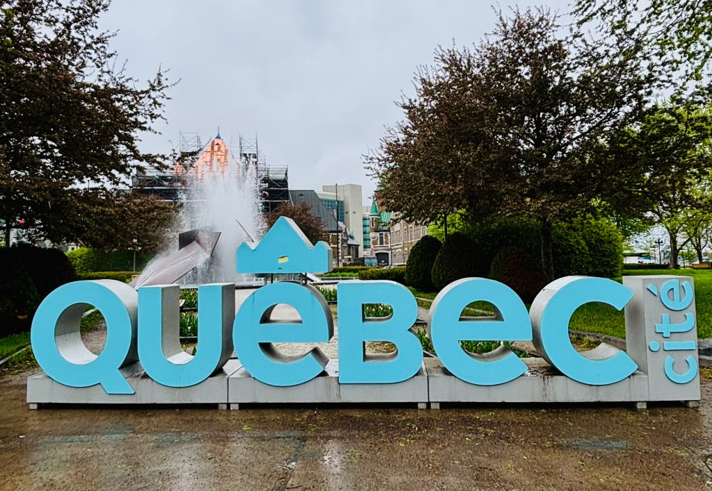
Few places in North America let you walk through four centuries of history in a single afternoon quite like Old Québec City. Cobblestones wind past 17th-century stone houses, murals tell stories of the people who built a nation, and every corner seems to open onto a postcard view of the St. Lawrence River. This walking route starts at the city’s most iconic landmark, Château Frontenac, and loops down through Lower Town before climbing back up — five unmissable stops that together capture the soul of Old Québec.
- Château Frontenac & Dufferin Terrace
- Down to Quartier Petit-Champlain
- Place-Royale
- Fresque des Québécois (Mural of Quebecers)
- Back Up via Rue Saint-Louis
- The Parliament Building
- Plains of Abraham
- The Citadelle
- Bringing It All Together
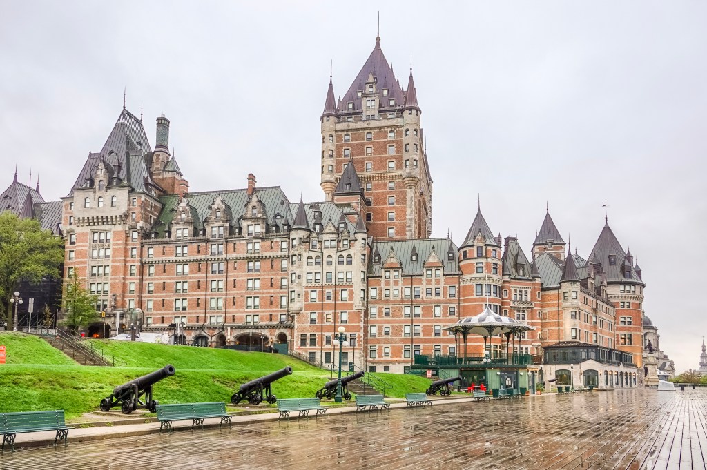
Château Frontenac & Dufferin Terrace
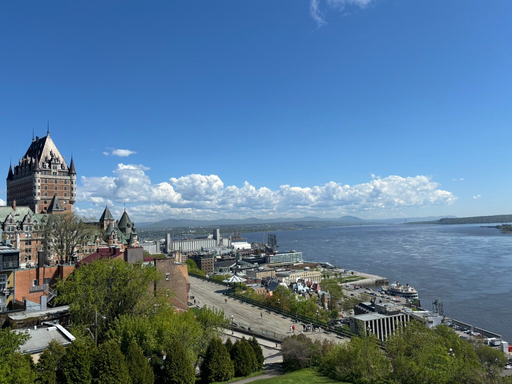
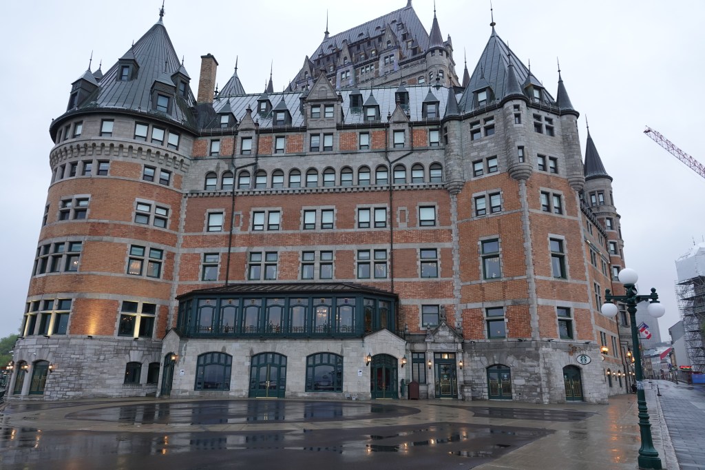
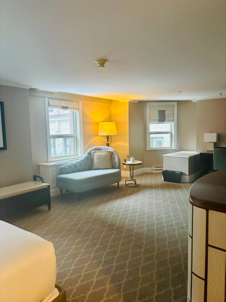
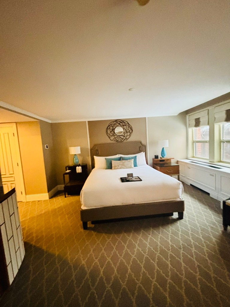
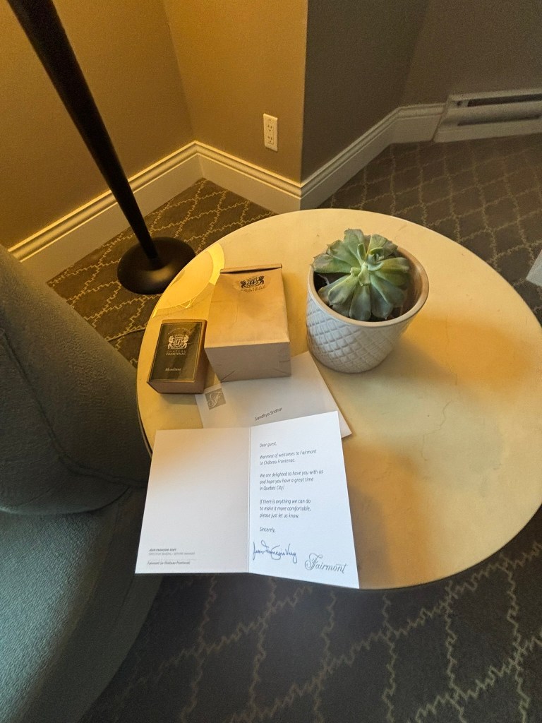
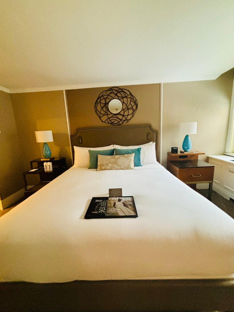
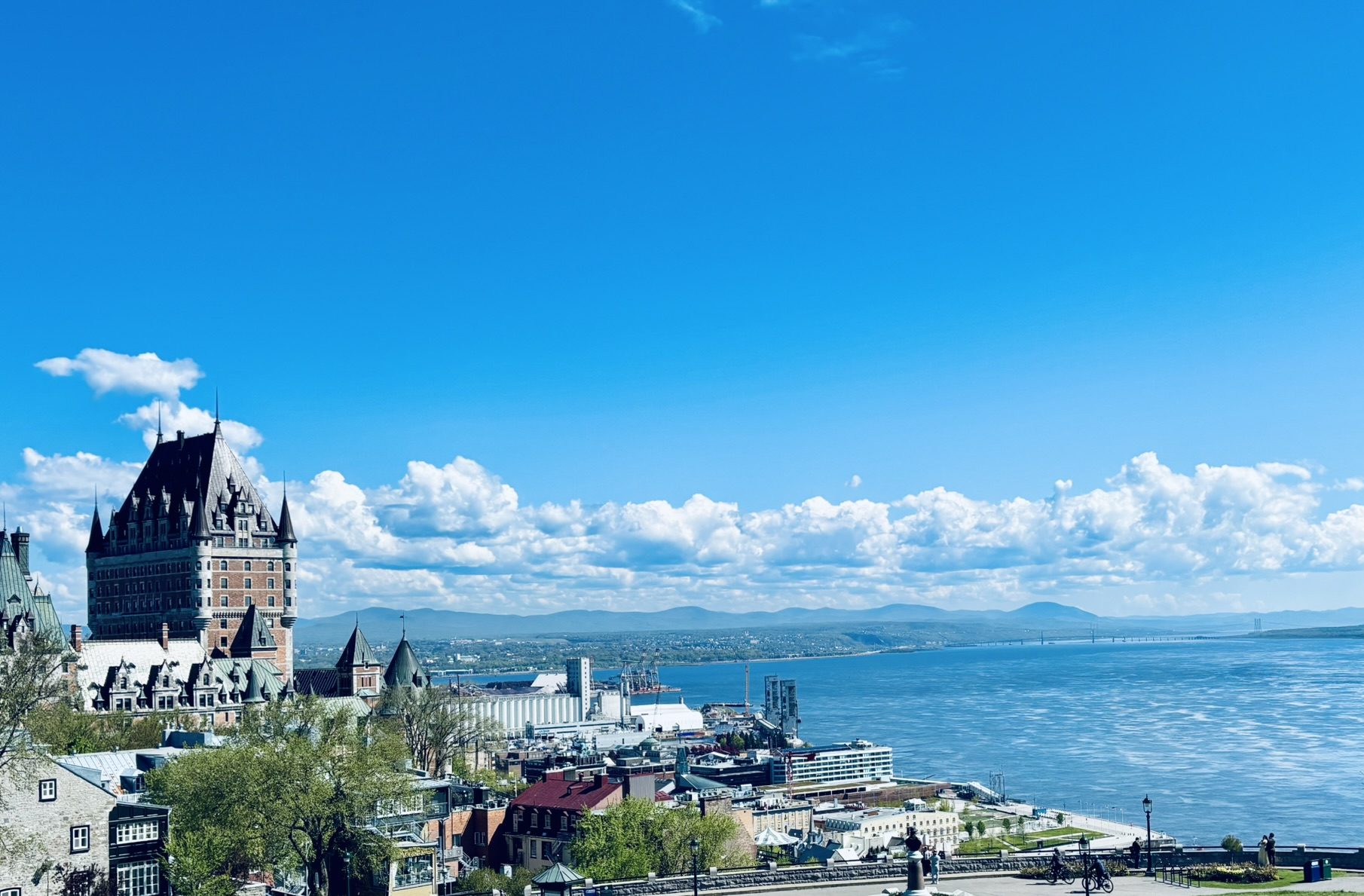
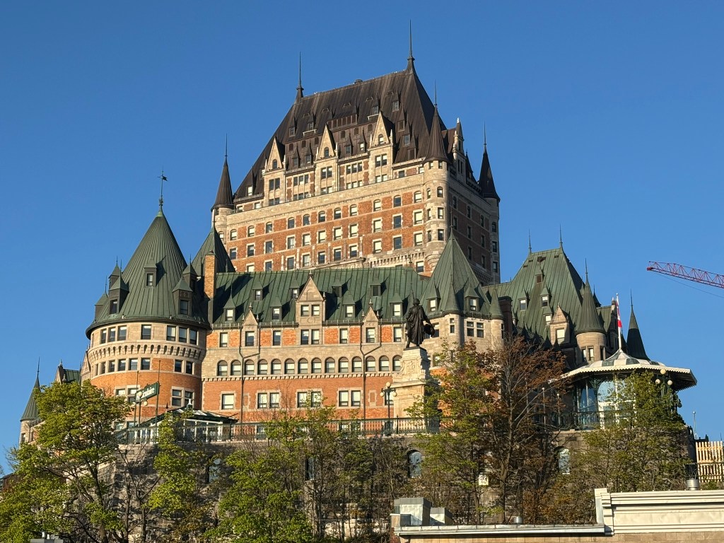
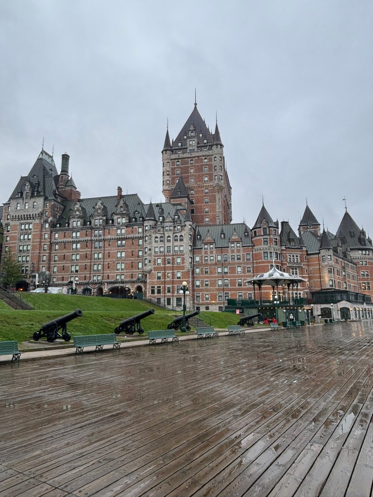
Start where most visitors do: at the foot of the Fairmont Le Château Frontenac, the castle-like hotel that has defined Québec City’s skyline since the late 19th century. Since we were staying at this hotel, this was a logical starting point for us. Wrapping around its base is Dufferin Terrace, a long wooden boardwalk that began as a private walkway for the governors who once lived on this site. It was opened to the public in 1838, then dramatically extended in 1879 under the direction of Lord Dufferin — a name you’ll encounter again later on this walk.
Today the terrace stretches roughly 425 meters along the cliff edge, lined with green-and-white gazebos and offering sweeping views across the St. Lawrence River toward Lévis. It was also the first public space in North America to be lit by electric streetlamps, back in 1885. In winter, a historic toboggan slide draws crowds; year-round, street performers and musicians keep the promenade lively. At its far end stands a statue of Champlain, and the terrace connects onward to the Governors’ Promenade and a cliffside walkway toward the Plains of Abraham.
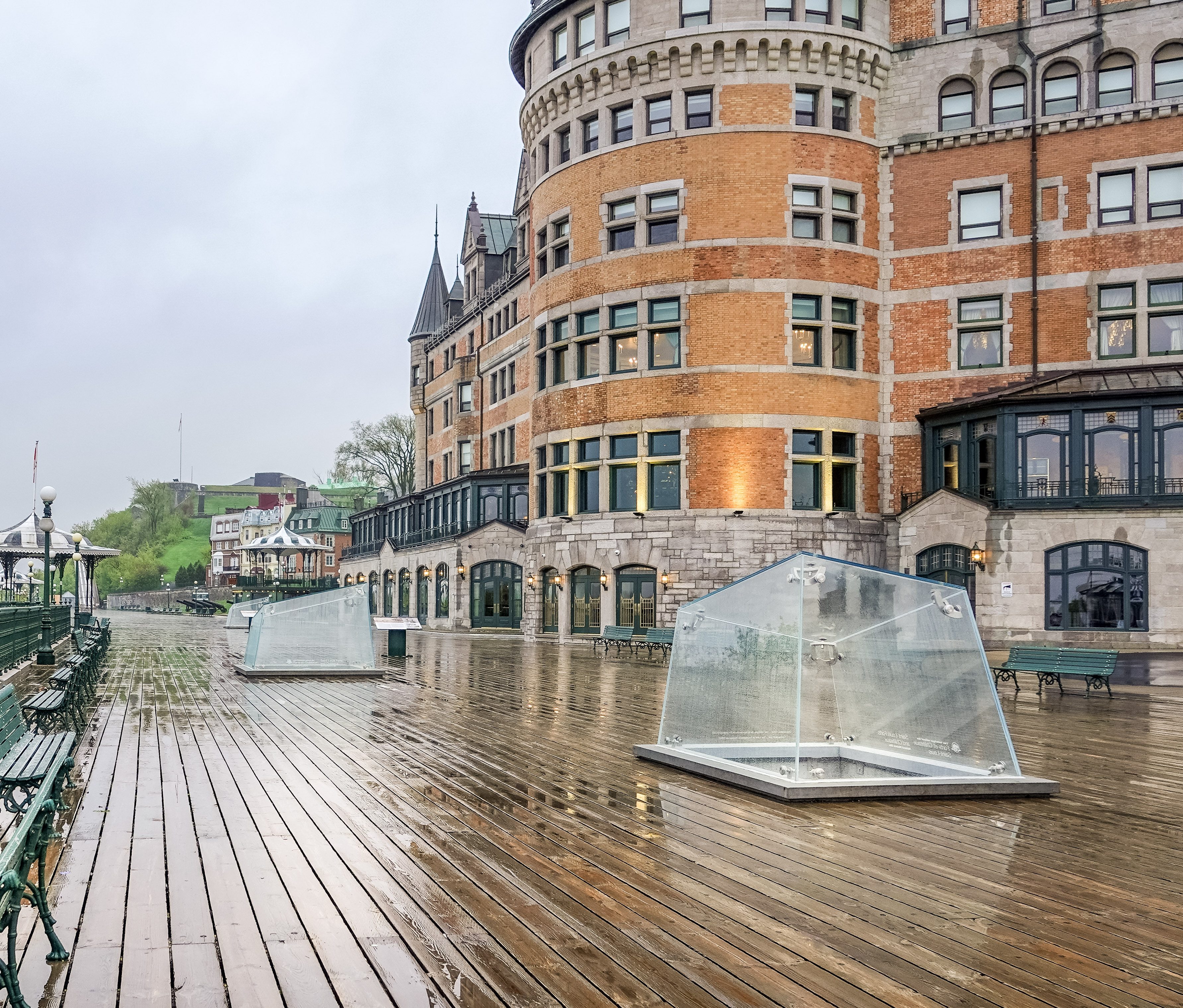
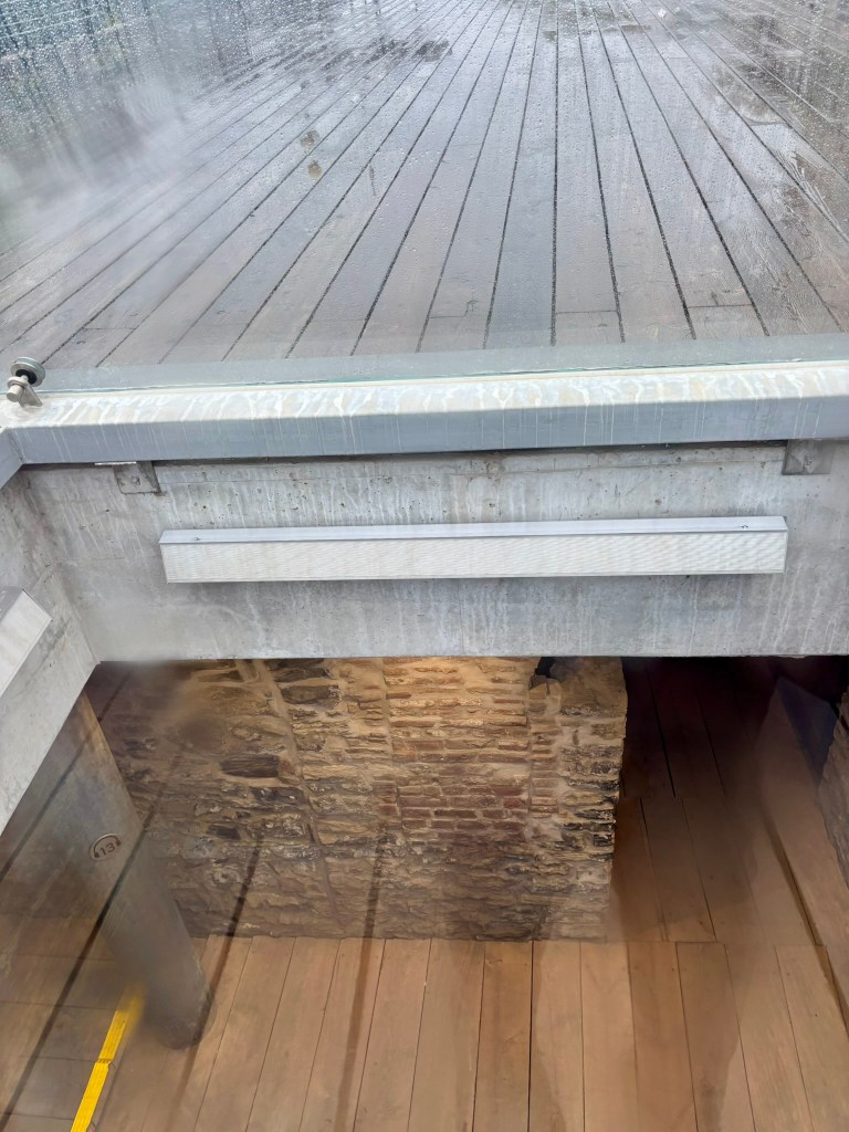
What is beneath Dufferin Terrace?
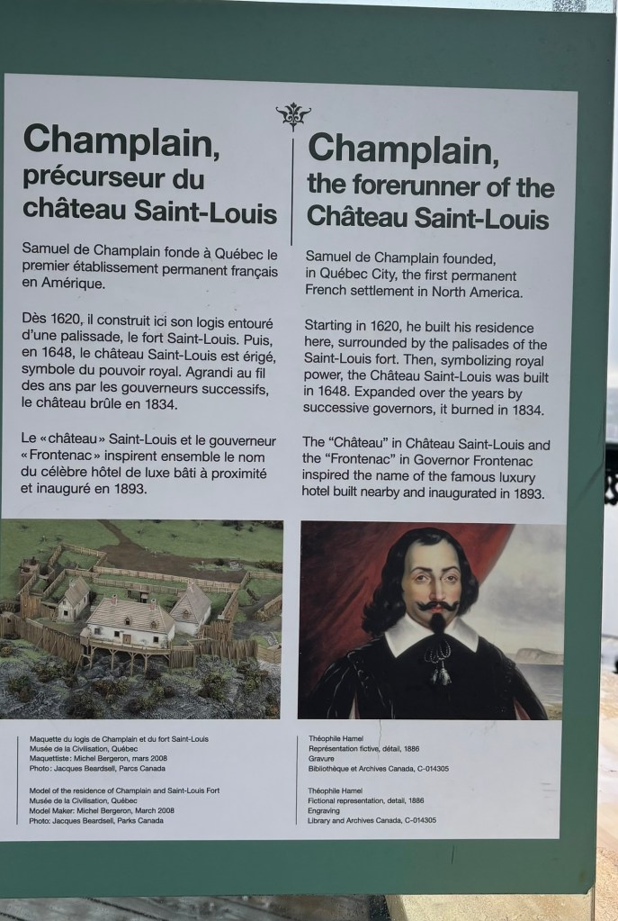
As you walk the terrace, look through the “archeoscopes”—protective glass viewing prisms built directly into the terrace floor, and you can peer straight down into the remarkably preserved stone and brick masonry of the old kitchens, outbuildings, and cold-storage basements. What you are seeing is the Saint-Louis Forts and Châteaux National Historic Site, an expansive underground archaeological crypt containing the excavated ruins of the official residence for French and British colonial governors. Initiated in 1620 by Samuel de Champlain, this former seat of power went through centuries of fortifications, renovations, and fires until it was completely destroyed by a final blaze in 1834, after which the public promenade was built over the remains. You can actually tour these remains by purchasing tickets Frontenac Kiosk (on the Dufferin Terrace).
Down to Quartier Petit-Champlain
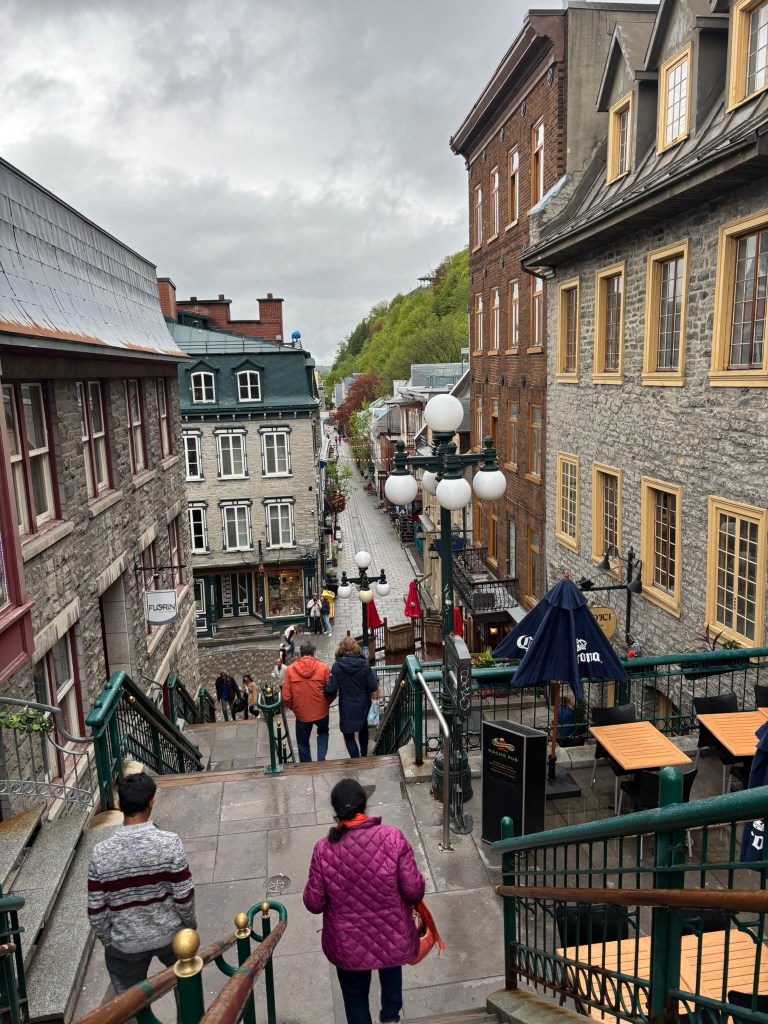
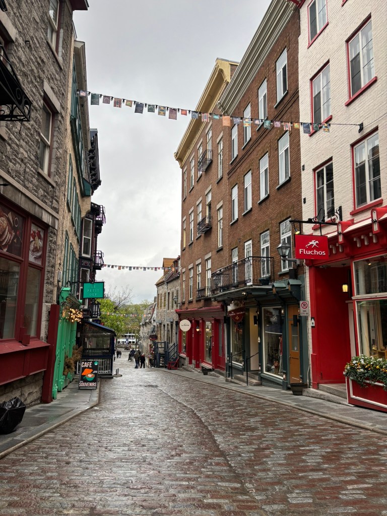
From the terrace, take the funicular — running since 1879 — or walk down the Breakneck Stairs (Escalier Casse-Cou), Québec City’s oldest staircase, dating to around 1635, for one of the most photographed views in the city. Either route drops you into Rue du Petit-Champlain, a narrow, colorful pedestrian street widely regarded as the oldest commercial artery in North America.
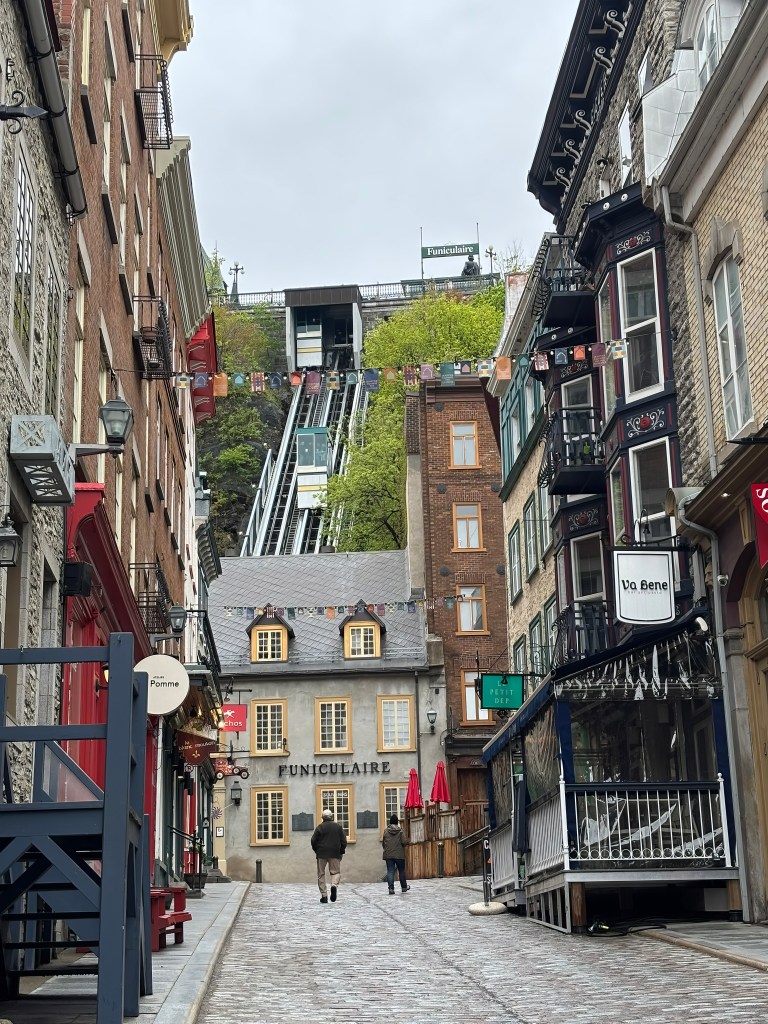
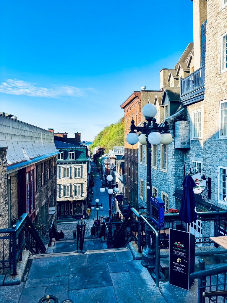
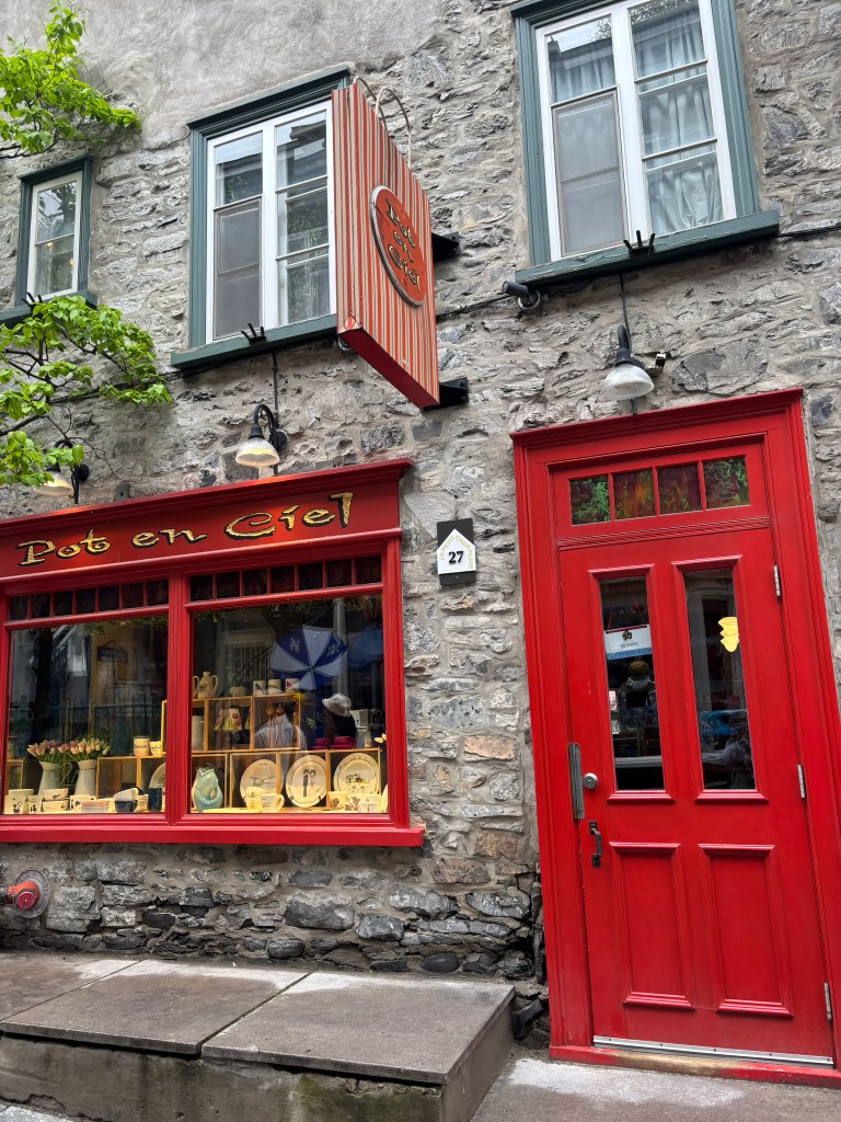
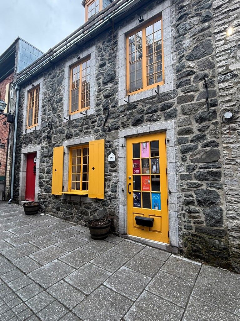
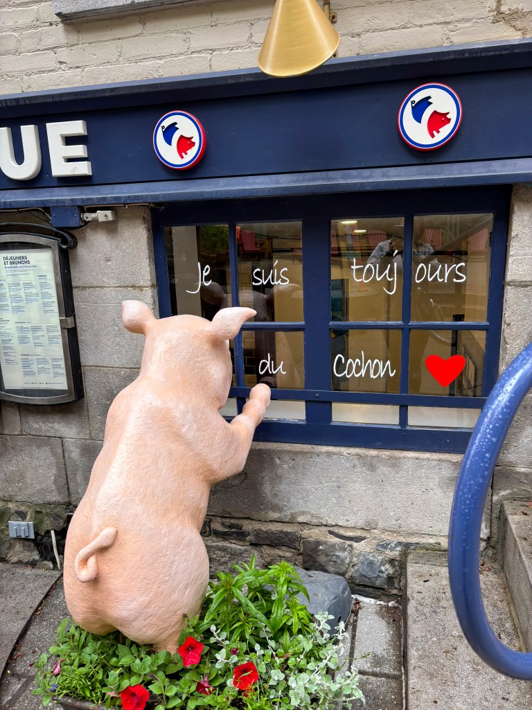
Named for Champlain himself, the street has been home to fishermen, artisans, and merchants since the earliest days of the colony, though it fell into disrepair by the 19th century and was largely reinvented as the boutique-lined district visitors know today starting in the 1970s. It rewards a slow wander: independent boutiques, cozy cafés, and — especially in winter — string lights and holiday décor that turn the whole street into something out of a Christmas card.
Place-Royale
A short walk from Petit-Champlain brings you to Place-Royale, the small cobblestone square many consider the birthplace of French civilization in North America. This is the exact spot where Samuel de Champlain built his second habitation in the 1620s, and for well over a century the square functioned as the colony’s central marketplace — known simply as Place du Marché until a bust of Louis XIV was installed in 1686, giving the square its royal name.
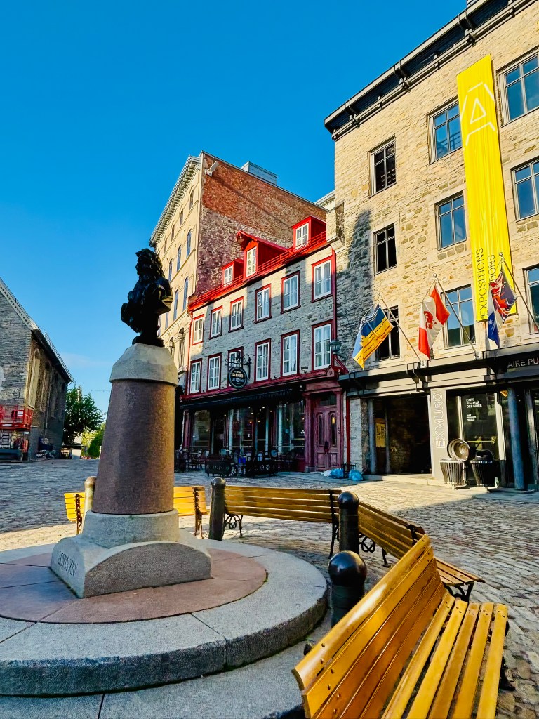
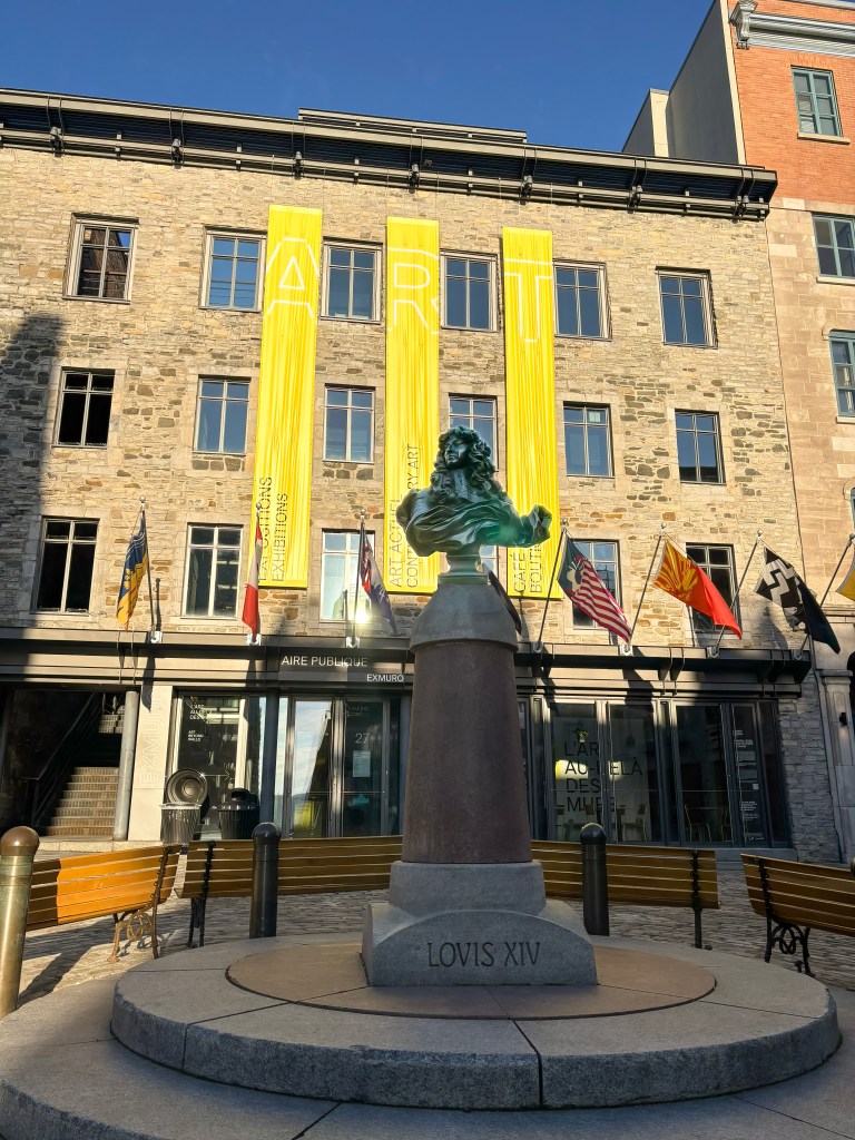
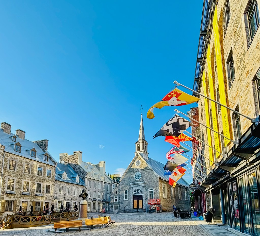
The square fell into decline after Québec’s trade shifted toward Montréal in the 19th century, but a major restoration effort beginning in the 1970s returned it to its French colonial character. Today, Place-Royale is ringed with beautifully preserved 17th- and 18th-century buildings, many now home to cafés and boutiques. At its edge sits Notre-Dame-des-Victoires, built starting in 1688 and considered the oldest stone church in North America. Look down near the church, and you can still see the outline marking where Champlain’s original habitation once stood.
Fresque des Québécois (Mural of Quebecers)
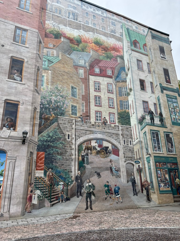
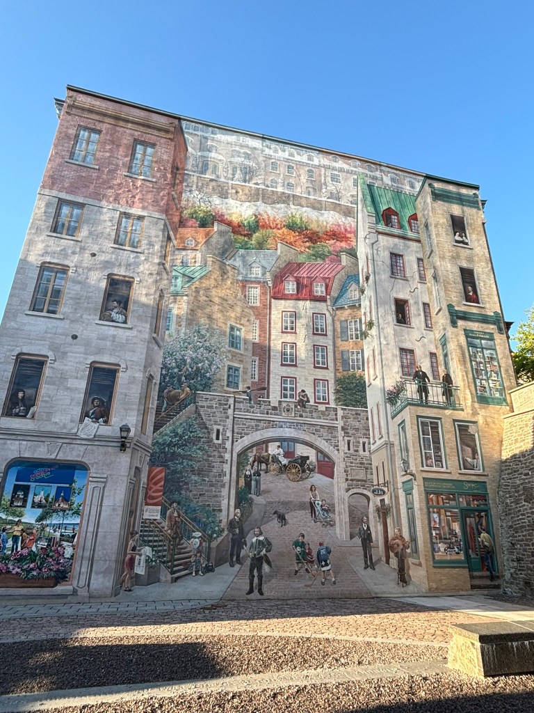
Just beside Place-Royale, on the wall of the Maison Soumande on rue Notre-Dame at the foot of Côte de la Montagne, you’ll find one of the most striking pieces of public art in the city. Painted in 1999 by a team of twelve French and Québécois artists over just nine weeks, this massive trompe-l’œil fresco creates the illusion of real architecture, balconies, and windows — and populates them with the faces that shaped Québec’s history.
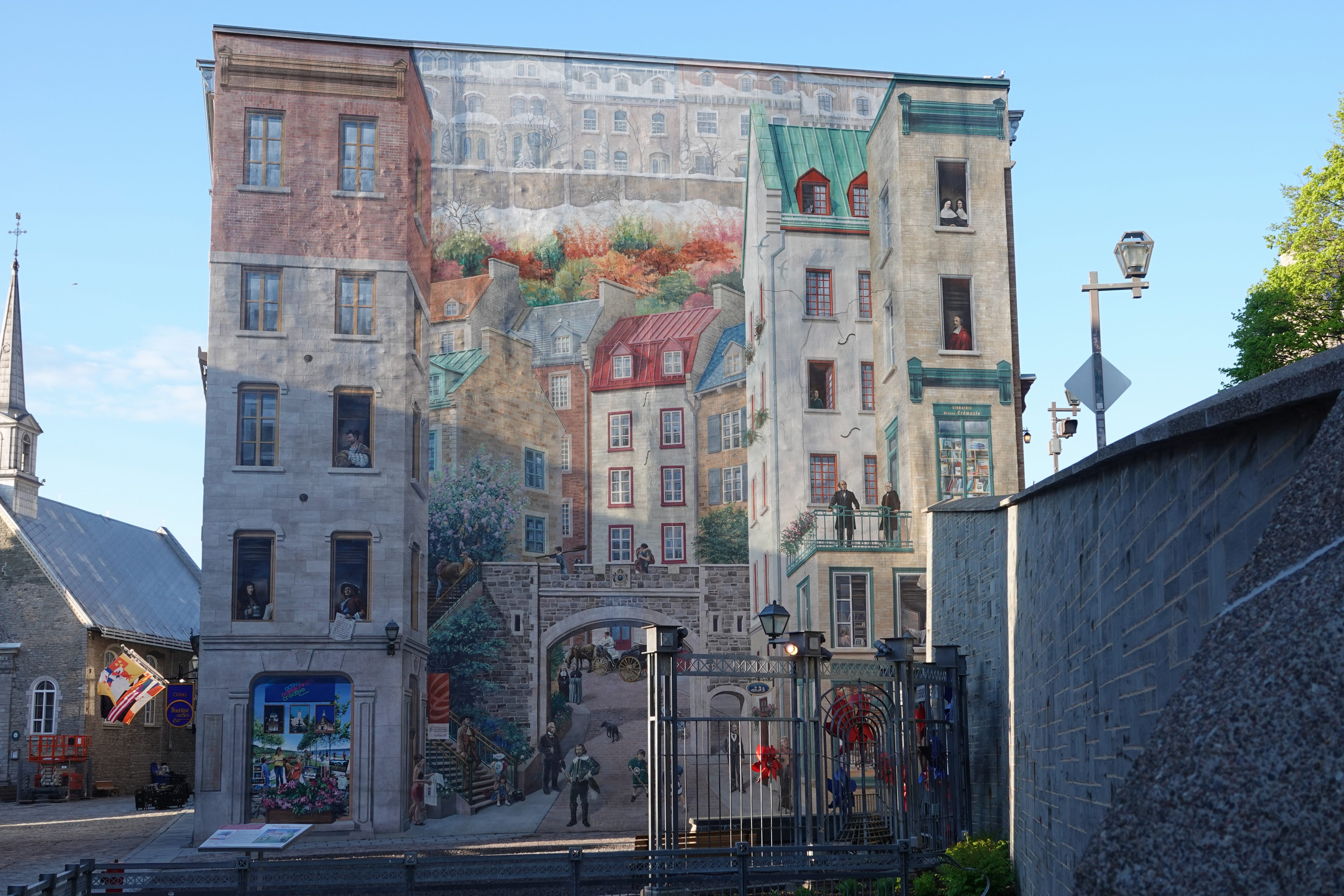
The mural groups its figures thematically. There are the explorers and founders: Jacques Cartier and Samuel de Champlain, who charted the northeastern coast of the continent and planted the first colonies, alongside Louis Jolliet, the Québec City–born cartographer who mapped the Mississippi River. Nearby stand the builders and defenders of New France — intendant Jean Talon, who grew the colony’s population and economy, and Governor Frontenac, whose name graces the hotel where this walk began, and who organized the city’s defenses — as well as later reformers Louis-Joseph Papineau and Thaïs Lacoste-Frémont.
Another cluster honors those who devoted their lives to education and charity: Bishop François de Laval and Ursuline co-founder Marie Guyart (alongside Catherine de Longpré, who cared for the sick), plus Marie Fitzbach and Marcelle Mallet, who each founded religious orders dedicated to helping the poor. Financial pioneer Alphonse Desjardins, founder of the credit union that still bears his name, appears here too. Rounding out the fresco are the cultural icons who helped forge a national identity: historian François-Xavier Garneau, beloved singer-songwriter Félix Leclerc, and Lord Dufferin himself — the governor general who extended the terrace you stood on at the start of this walk.
The Fresque des Québécois is just one entry in a wider series of murals scattered across the city center, but its scale and detail make it a standard stop on any walking tour of Old Québec.
Back Up via Rue Saint-Louis
To close the loop, climb back up toward Upper Town — either retracing your steps to the funicular or following Côte de la Montagne — and pick up Rue Saint-Louis, one of Old Québec’s oldest and most storied streets, which leads directly back toward your starting point at Château Frontenac. Unlike many of the city’s steep, stepped streets, this one runs comfortably flat, making it an easy stroll past stone townhouses, ironwork balconies, and steep dormered rooflines typical of traditional Québécois architecture.
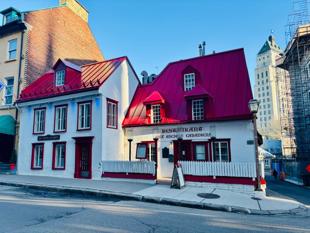
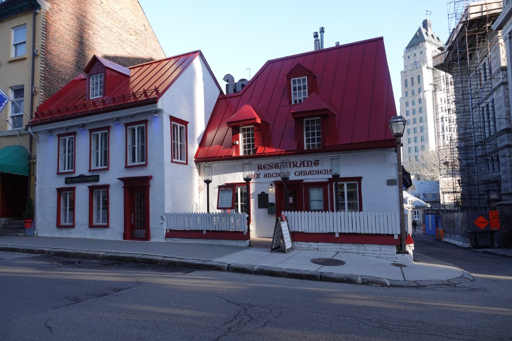
Along the way, keep an eye out for Maison Jacquet, built in 1674 and often cited as the oldest house in Québec City — its distinctive white walls and bright red roof now house the restaurant Aux Anciens Canadiens. Nearby, the 1736 Maison Maillou and the 1830s Maison Kent add further layers of history to the street.
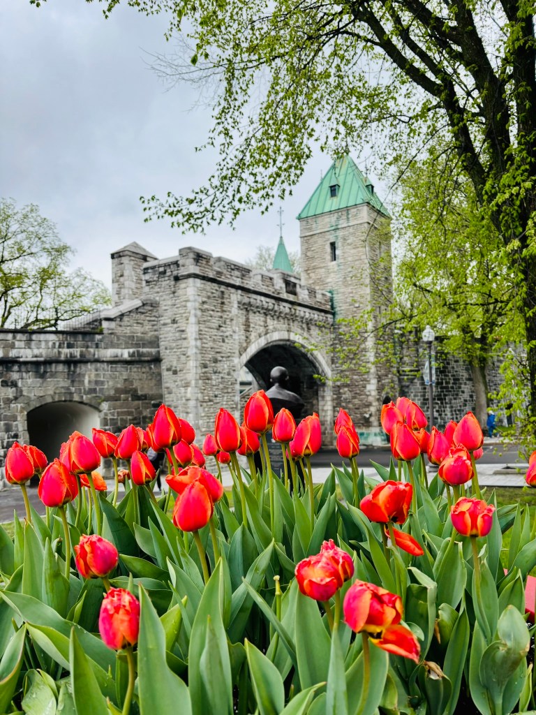
If you have energy left, continue past Place d’Armes to the Saint-Louis Gate, one of the last surviving gates in the city’s fortification walls, and climb its stairs for a panoramic view back over the street and toward the Parliament Building beyond.
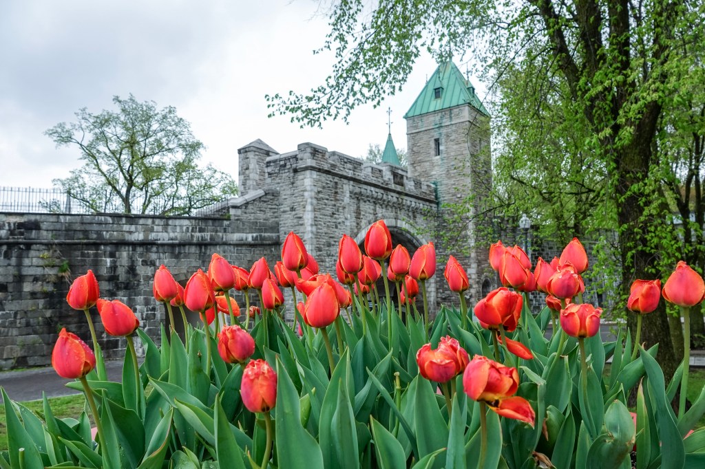
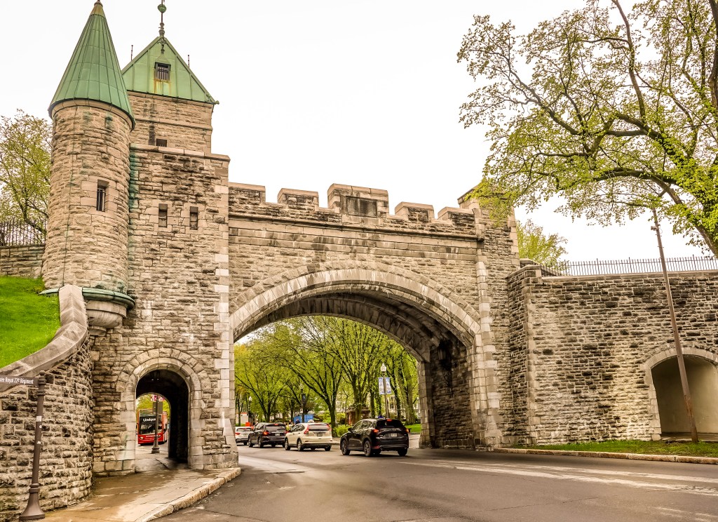
From here, the walls open onto Grande Allée and the boulevard beyond, where the loop keeps going rather than turning back — straight toward the green copper roof of the Parliament Building.
We decide to do the Parliament Building, plans of Abraham the next day, and just started again from Château Frontenac and walked through Rue Saint-Louis
The Parliament Building
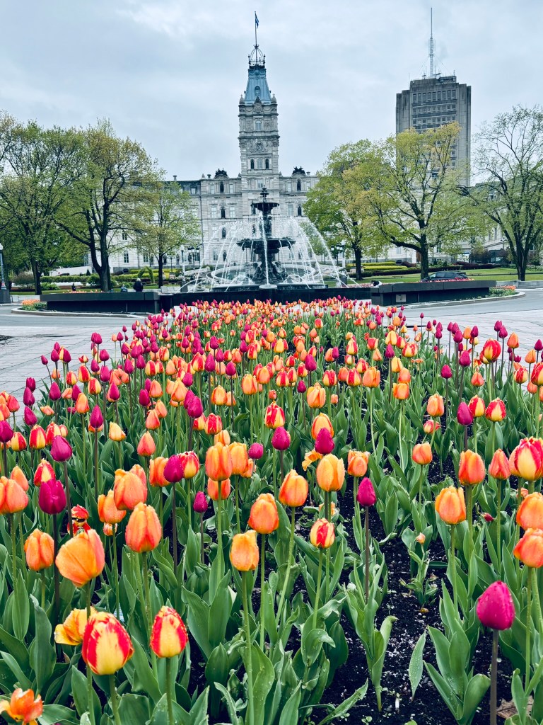
Just outside the old fortified walls, on what’s known as Parliament Hill, stands the seat of Québec’s National Assembly. Designed by architect Eugène-Étienne Taché and completed in 1886, the building is done in an ornate Second Empire style with a French Renaissance flavor, and its façade is lined with dozens of bronze statues honoring figures from Québec’s history — a smaller, sculpted echo of the Fresque des Québécois you passed earlier in Lower Town.
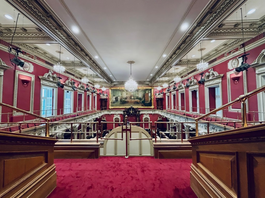
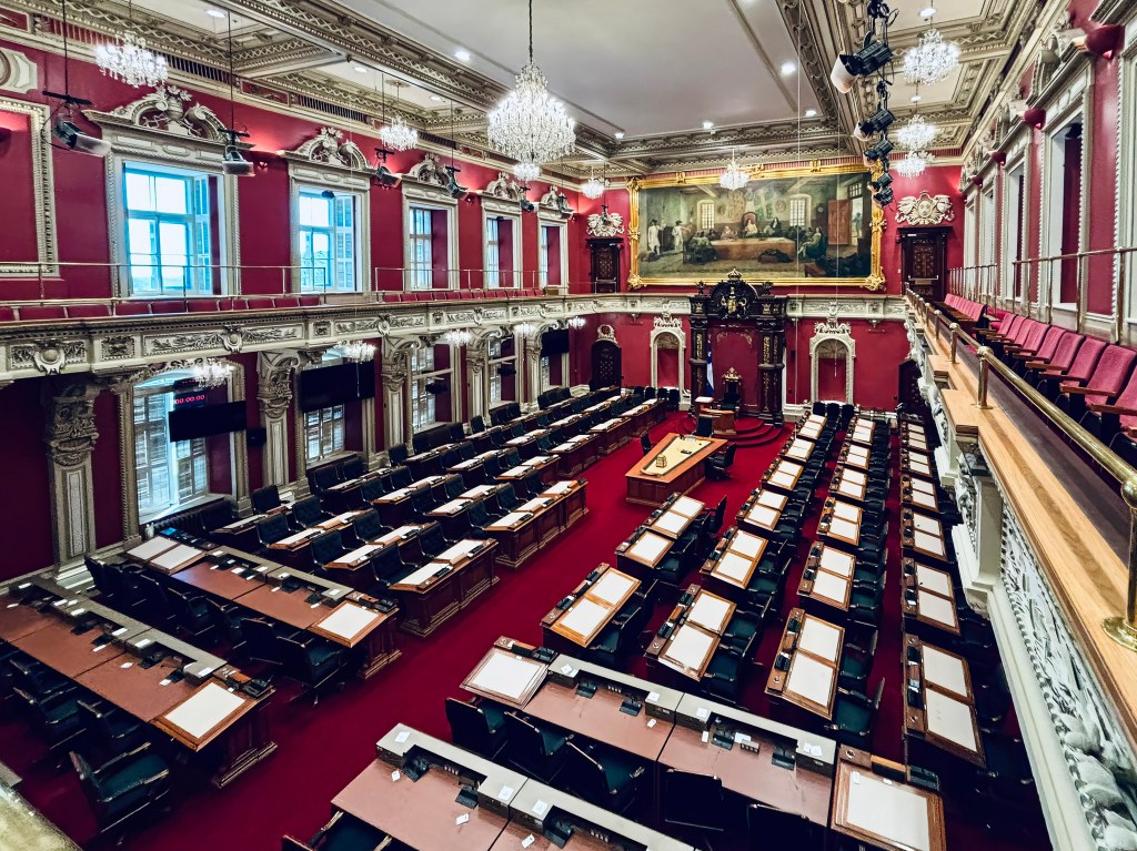
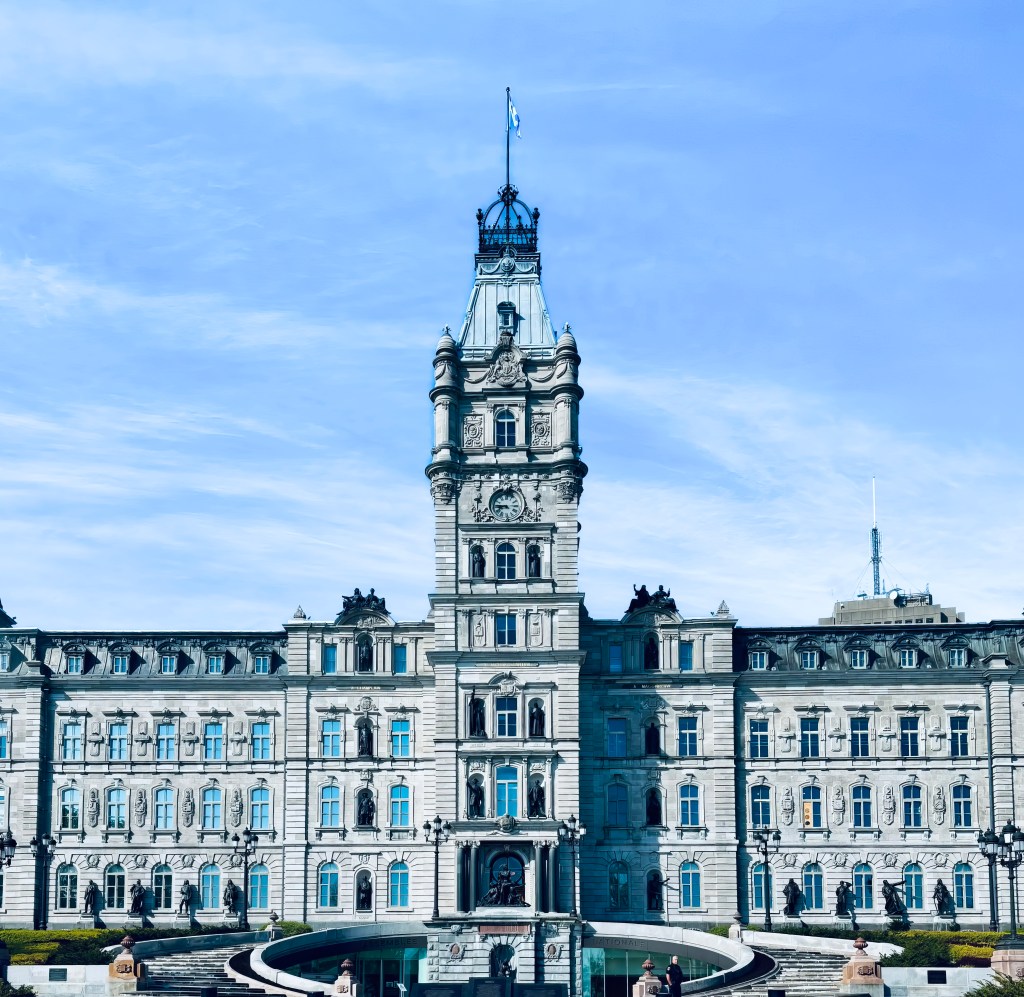
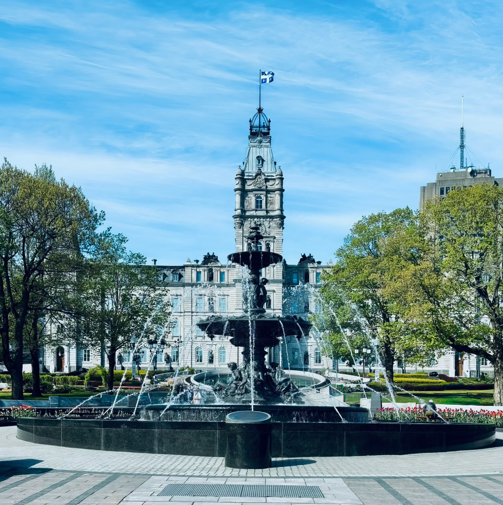
Out front, the Fontaine de Tourny sparkles amid manicured gardens, making the grounds a pleasant stop even if you don’t go inside. Free guided tours run on the hour and cover the building’s political history and architecture in about an hour; reserving online in advance and arriving early for security is worth doing in high season. Ask about the library on your way out — self-guided visits there tend to reveal more than the tour itself.
Plains of Abraham
From Parliament Hill, it’s a short walk to the Plains of Abraham, the sprawling green space where, in 1759, British and French forces fought the battle that decided the fate of New France and helped shape the future of Canada. Little of that history is visible on the surface today; instead, you’ll find rolling lawns, mature trees, and some of the best skyline and river views in the city.
The park is open around the clock and free to wander, with walking trails, picnic tables, a small theater, and a café tucked into the grounds. History buffs can detour into the Plains of Abraham Museum for more context on the battle, while everyone else can simply enjoy the open space — a favorite of locals for jogging, picnicking, and, each summer, major outdoor festivals. Budget some time here; the park is large, and the walk between its edges is longer than it looks on a map.
The Citadelle
Continuing along the cliff’s edge from the Plains, the star-shaped Citadelle of Québec comes into view atop Cap Diamant. Built by the British starting in the 1820s to defend against a feared American invasion that never came, it’s the largest fortified group of buildings in North America still occupied by troops, currently home to the Royal 22e Régiment of the Canadian Army.
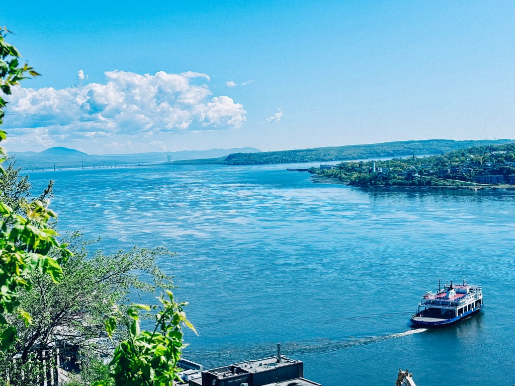
Entry is by guided tour only, departing on the hour, and it’s worth timing a visit around the daily cannon firing or, in summer, the changing of the guard ceremony. The tour winds through ramparts and powder magazines with sweeping views over the St. Lawrence, and a museum inside houses military artifacts and regimental history — allow extra time to explore it after the guided portion ends. I took some of my photographs of the trip from the citadelle
Back Down to Château Frontenac
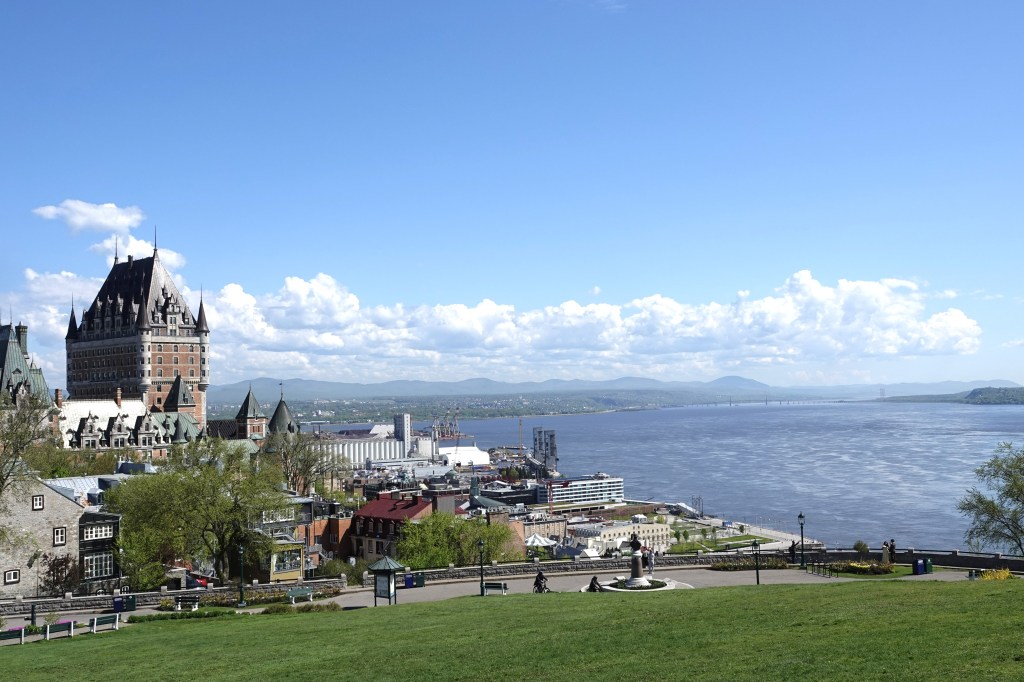
To close the loop, follow the fortification walls back toward the old city. The most scenic option is to pick up the Governors’ Promenade, the cliffside boardwalk that hugs the cliff face below the Citadelle and links back to Dufferin Terrace — the same terrace where this walk began. It’s a fitting final stretch: the same river views that opened the walk accompany you back to the Château.
Bringing It All Together
This loop — Château Frontenac and Dufferin Terrace, down to Petit-Champlain, across to Place-Royale, past the Fresque des Québécois, back up Rue Saint-Louis, out to the Parliament, across the Plains of Abraham, into the Citadelle, and home again along the Governors’ Promenade — covers roughly four centuries of Québec’s history, both inside and outside its walls, in a single walkable day. You’ll end up exactly where you started, having traced the same ground as governors, fur traders, bishops, soldiers, and songwriters, all within and around one of North America’s few remaining fortified cities.
Planning your own walk through Old Québec? Lace up comfortable shoes — much of this route involves cobblestones, stairs, and slopes, and the full loop with the Parliament, Plains, and Citadelle added is a full day’s outing — and budget extra time for the inevitable stops for photos, pastries, and window-shopping along the way.