August 7–17, 2026
There’s something fitting about starting a trip to Iceland with a long flight over open water — by the time we touched down from Atlanta on August 7th, the endless grey of the North Atlantic had already primed us for ten days of dramatic coastline, black sand, and glacier-fed fjords.
Reykjavik, On Our Own Terms (8/8–8/10)
We gave ourselves two full days in Reykjavik before the ship, and it was the right call — nothing about Iceland rewards rushing.
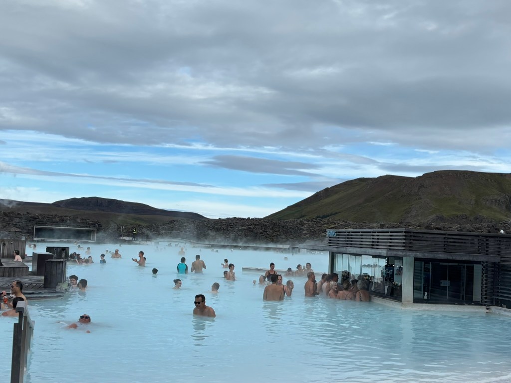
8/8 — Blue Lagoon. Steam rising off milky blue-white water against a backdrop of black lava rock, even in August. It’s touristy, sure, but it earns the reputation.
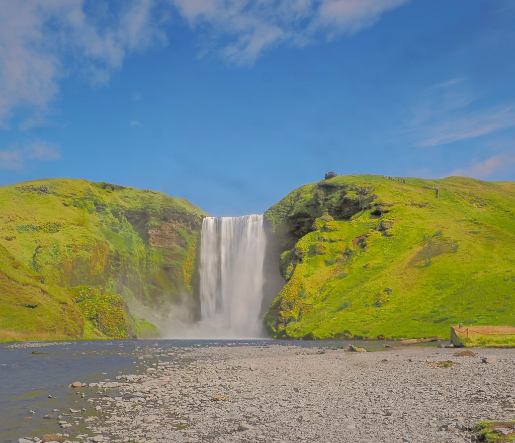
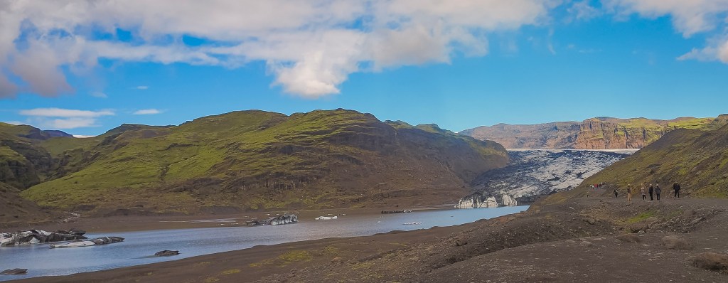
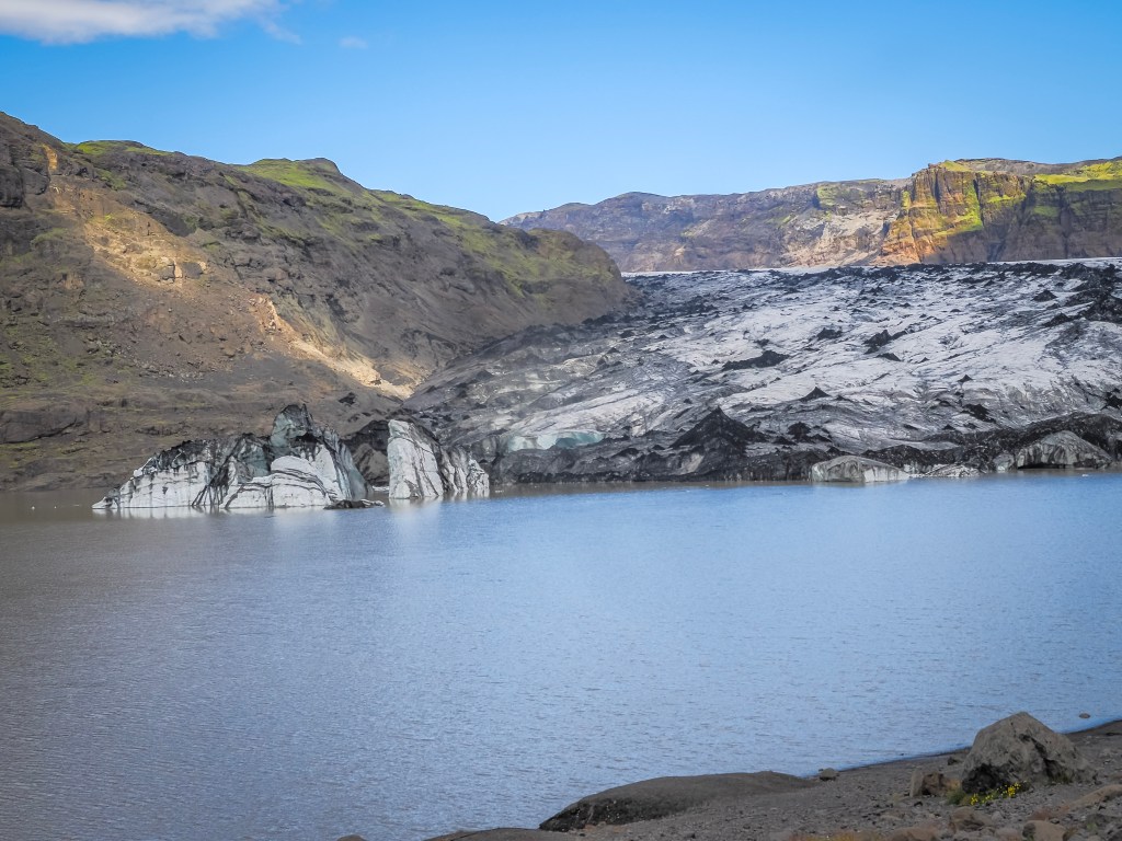
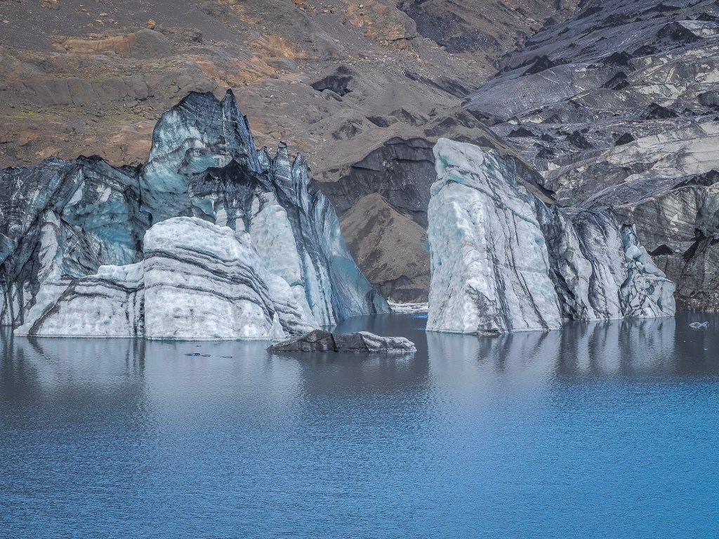
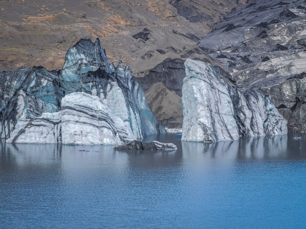
8/9 — South Coast with Arctic Adventures. This was the day Iceland really opened up. We started at Skógafoss, and its sheer power was startling — 60 meters of water thundering down, mist drifting over everything nearby, the roar constant enough to feel in your chest before you even see the falls properly. From there we drove to Sólheimajökull, a glacier tongue reaching down from the massive Vatnajökull ice cap, where the ice ran in striking black-and-white stripes — dark bands of volcanic ash buried under successive snowfalls, each one a frozen record of an old eruption. Standing next to it felt like standing before something still actively reshaping itself.
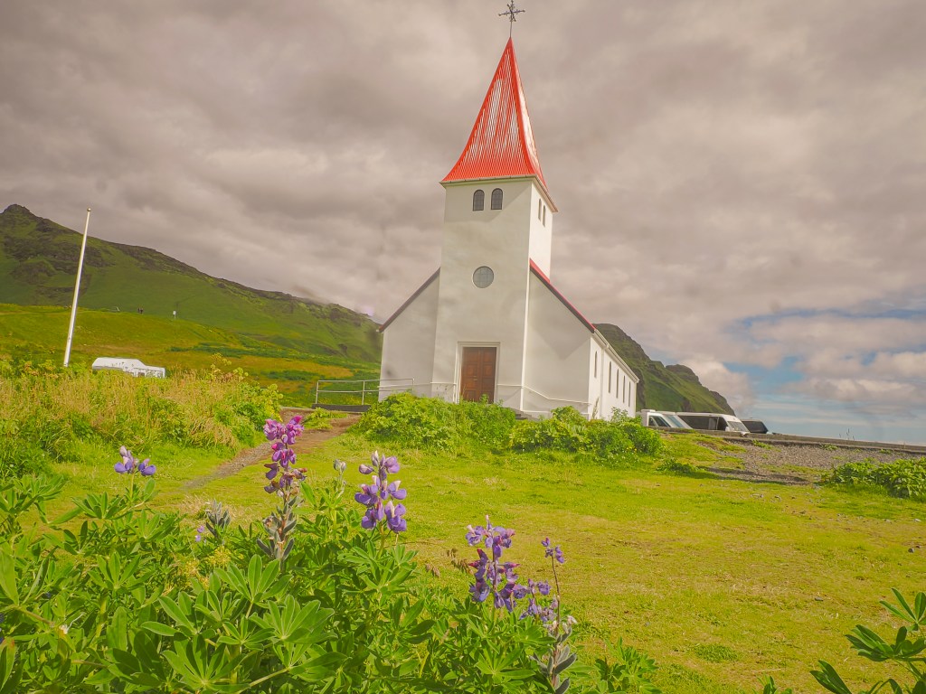
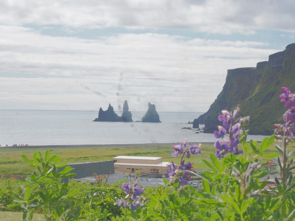
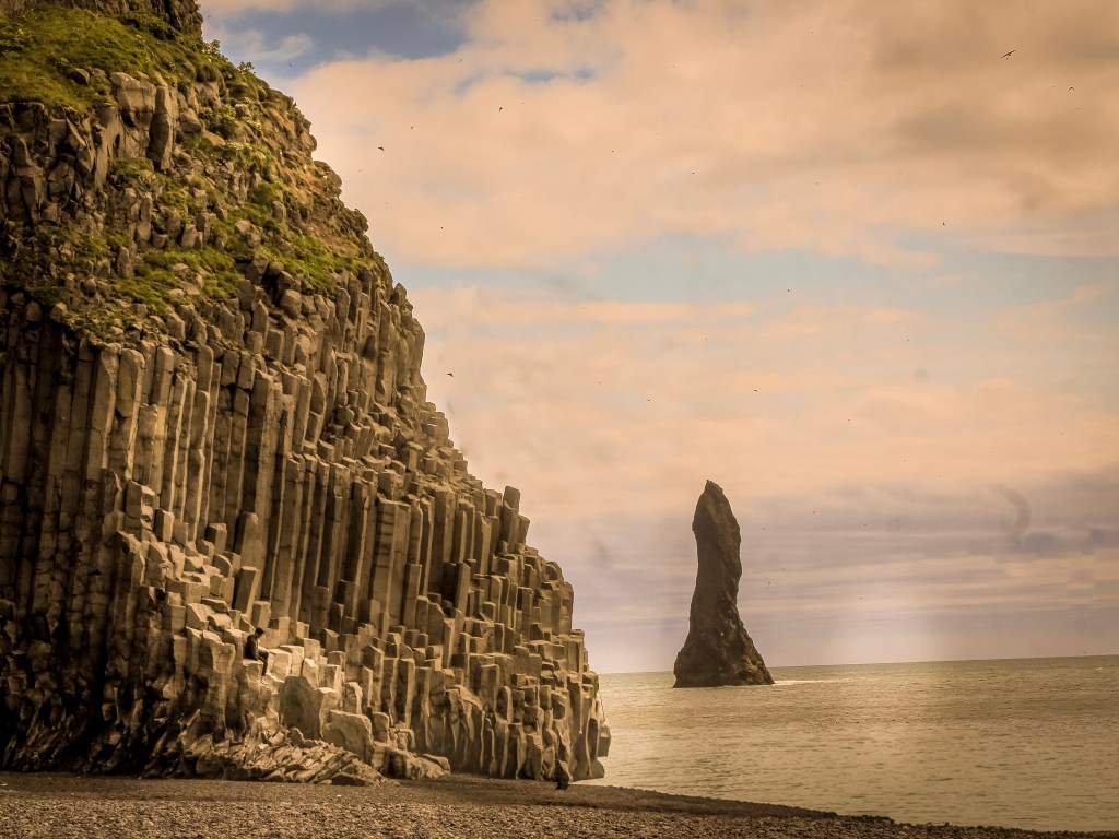
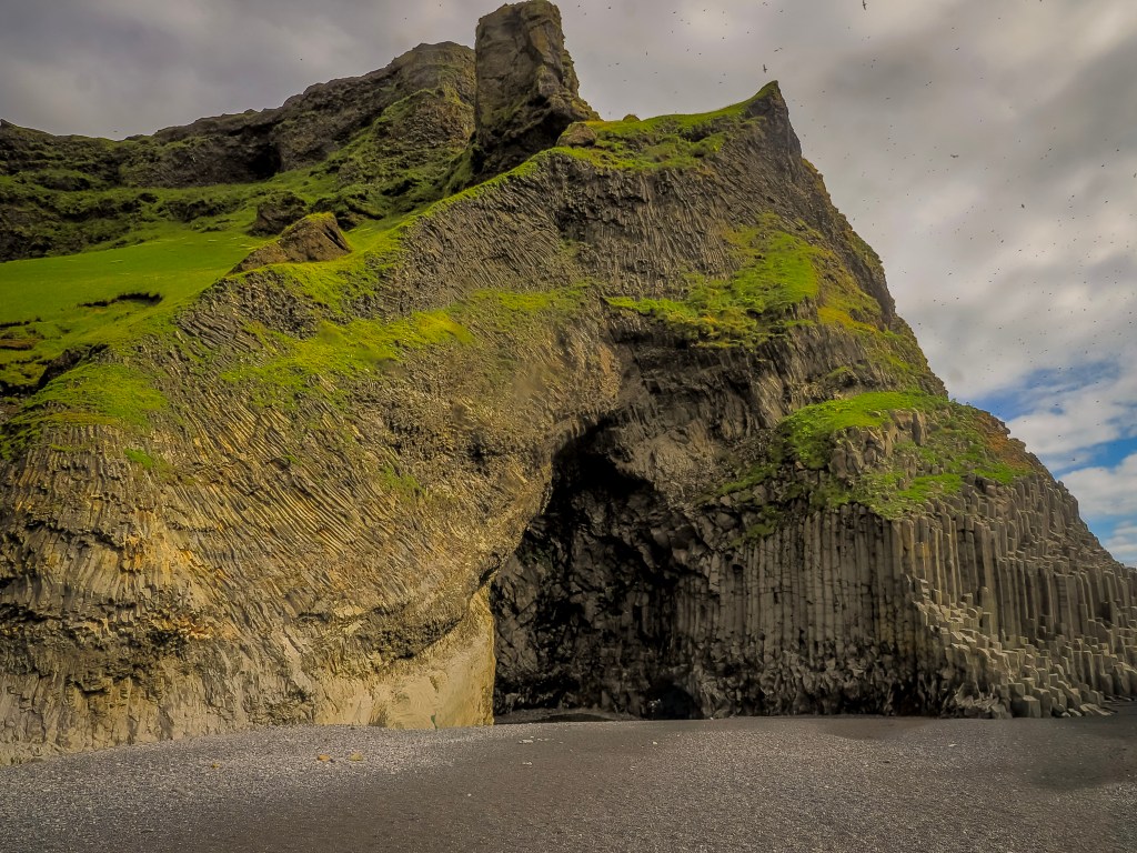
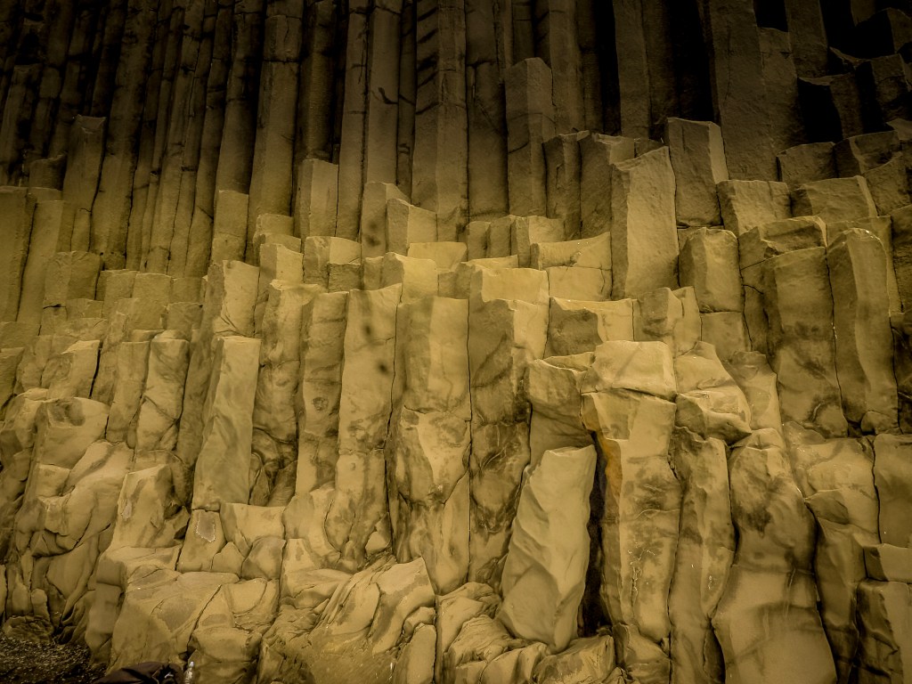
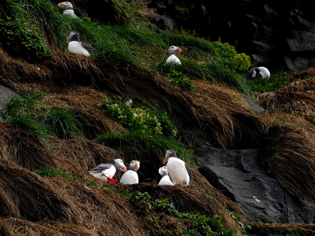
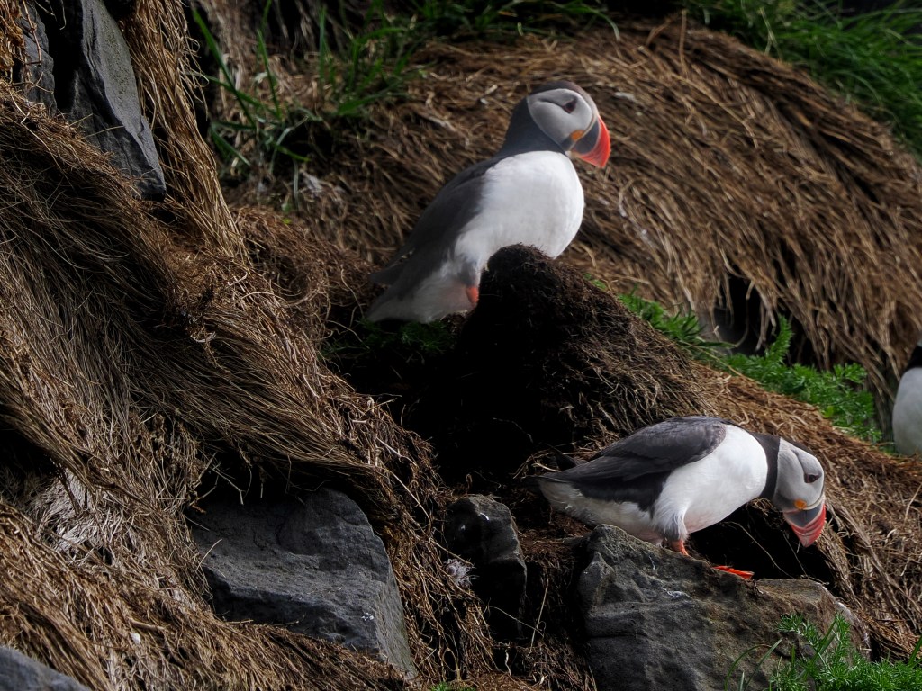
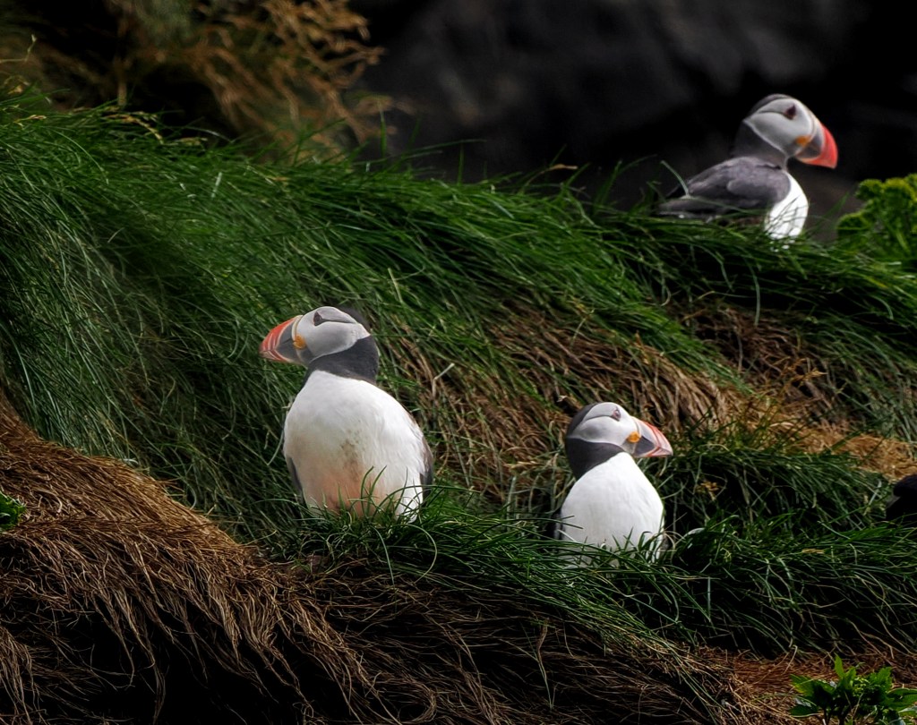
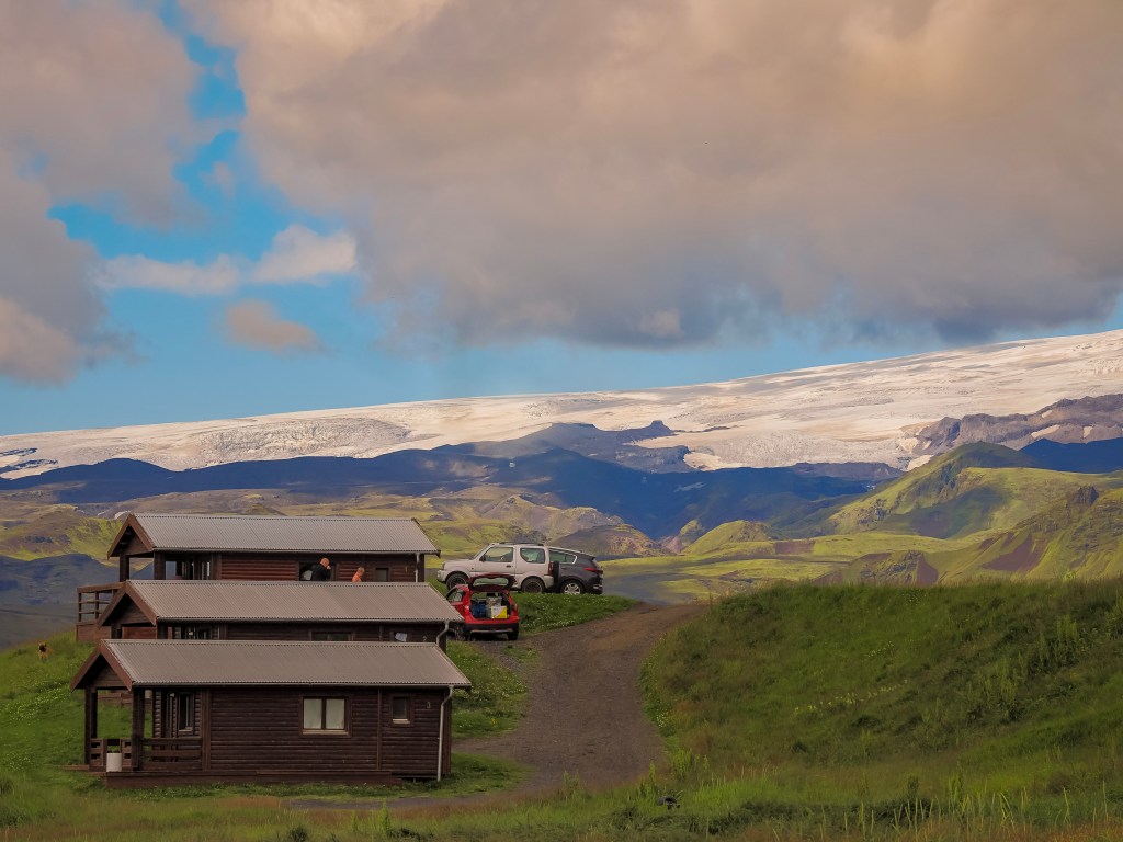
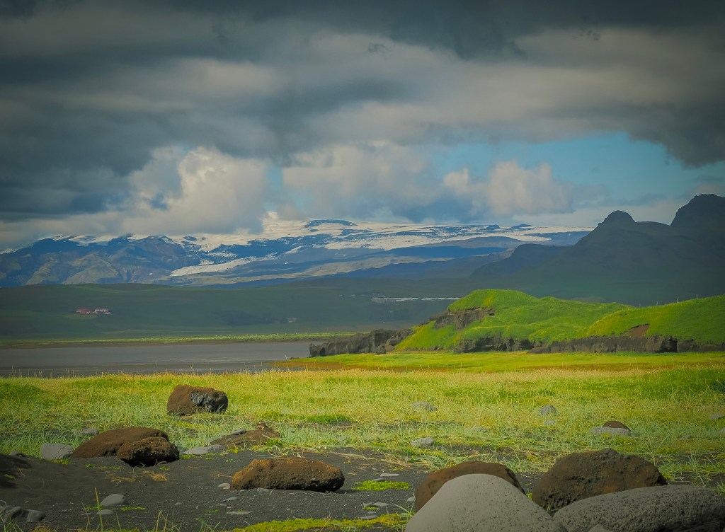
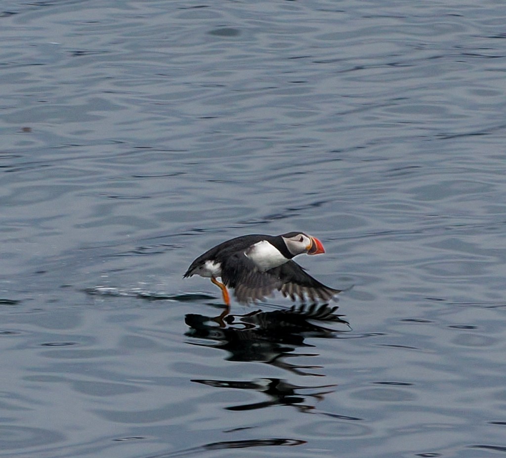
We rolled through Vík í Mýrdal, a small village balanced between cozy and dramatic, with a church perched on the hill above and a food truck doing brisk business in crepes that we didn’t have time to queue for. Just past it, Reynisfjara black sand beach delivered our first puffins of the trip — dozens of them darting in and out of the basalt columns above the shore, enough that we spent more time chasing puffin shots than admiring the famous Reynisdrangar sea stacks. From the beach we could also make out two glacier-capped volcanoes in the distance — Mýrdalsjökull, hiding the notoriously active Katla underneath, and glimpses of Eyjafjallajökull, whose 2010 eruption grounded flights across Europe. Ice and fire, side by side, right there on the horizon.
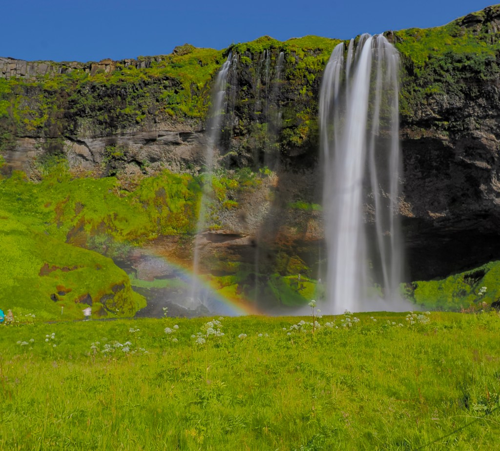
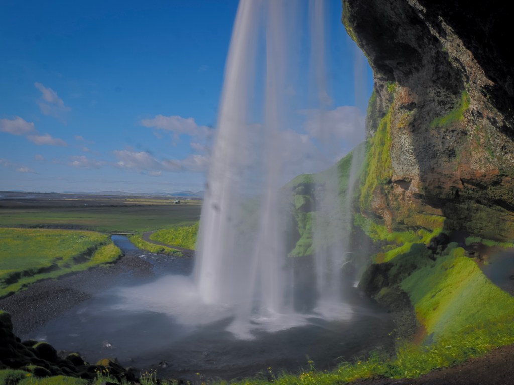
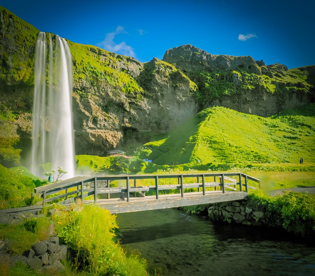
We saved Seljalandsfoss for last, on our guide’s advice, since you can walk behind it and expect to get wet. Standing behind that curtain of water with the afternoon sun throwing little rainbows through the mist was one of those moments that’s hard to describe and easy to remember.
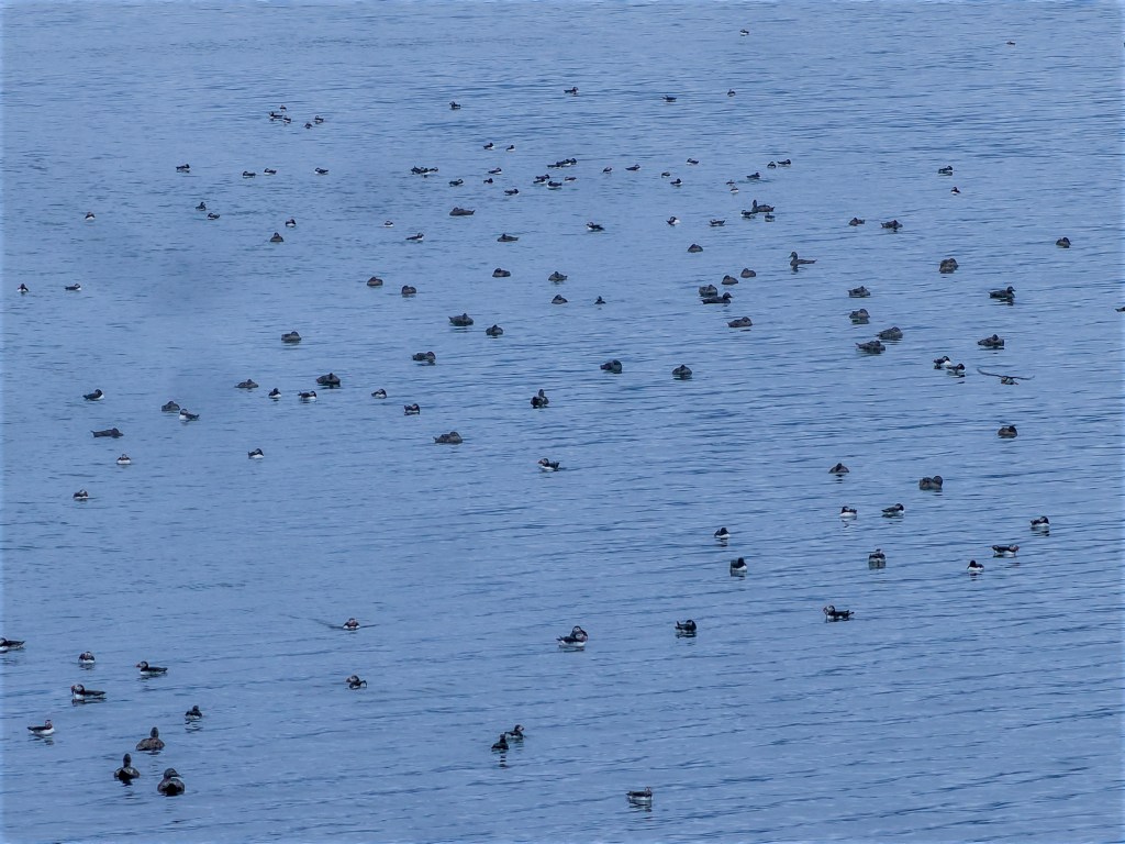
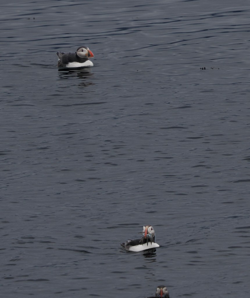
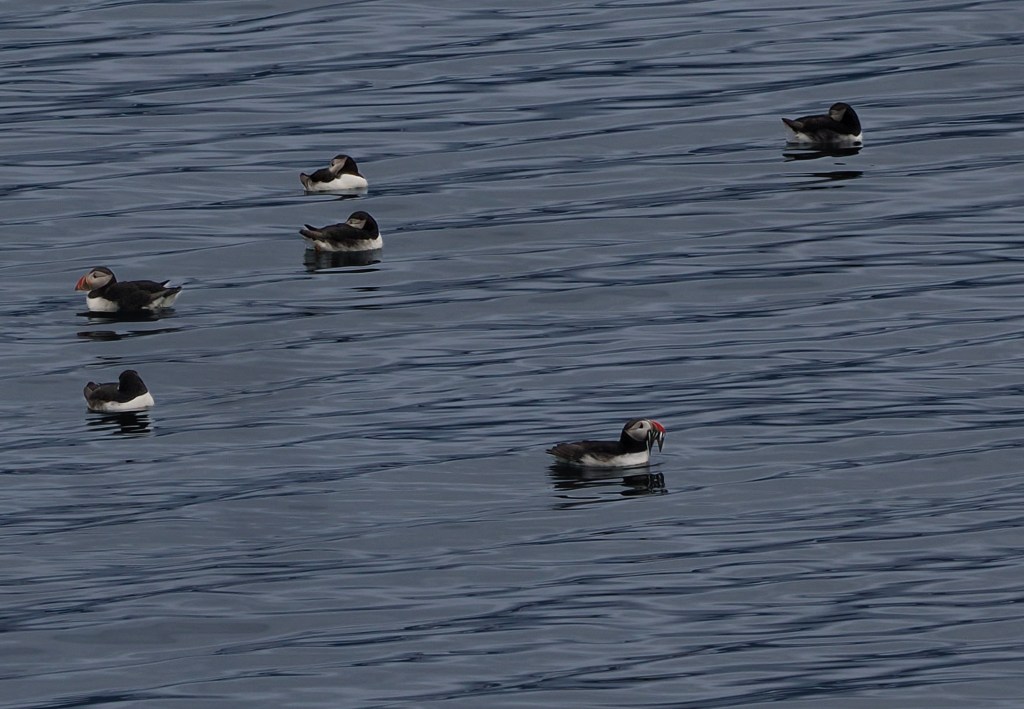
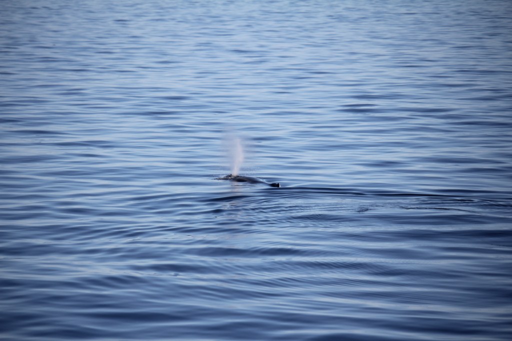
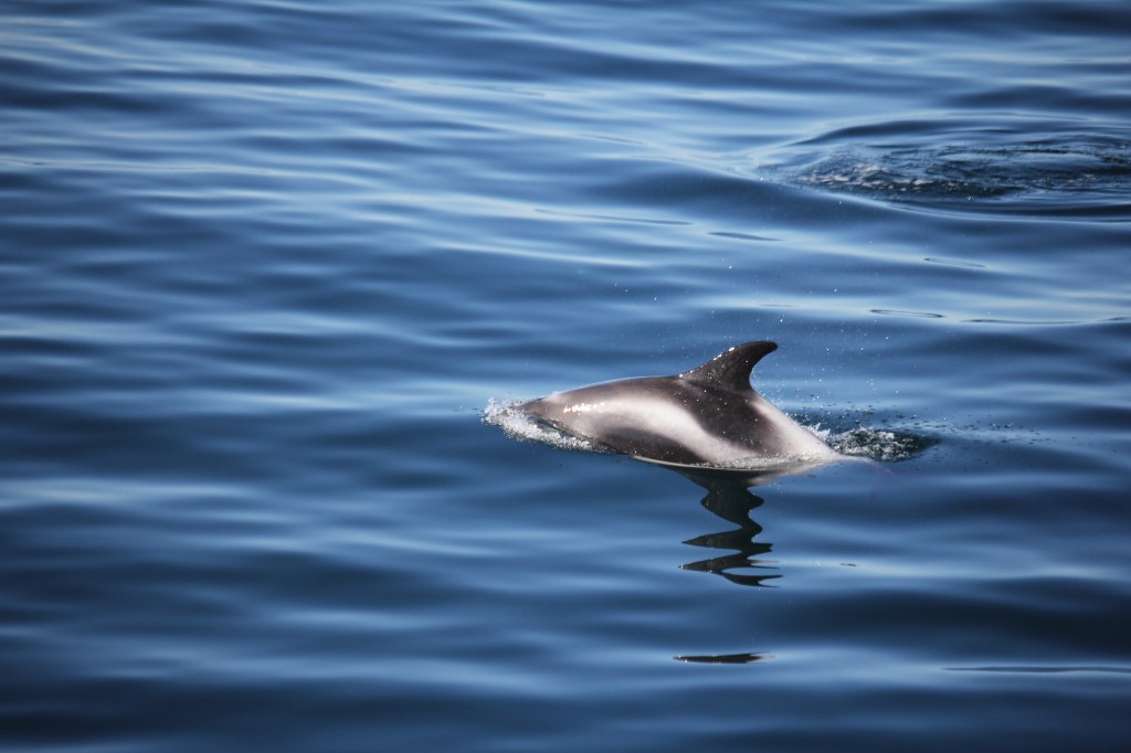
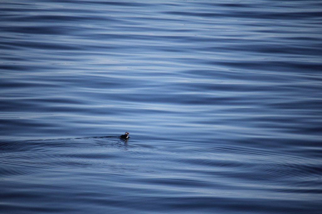
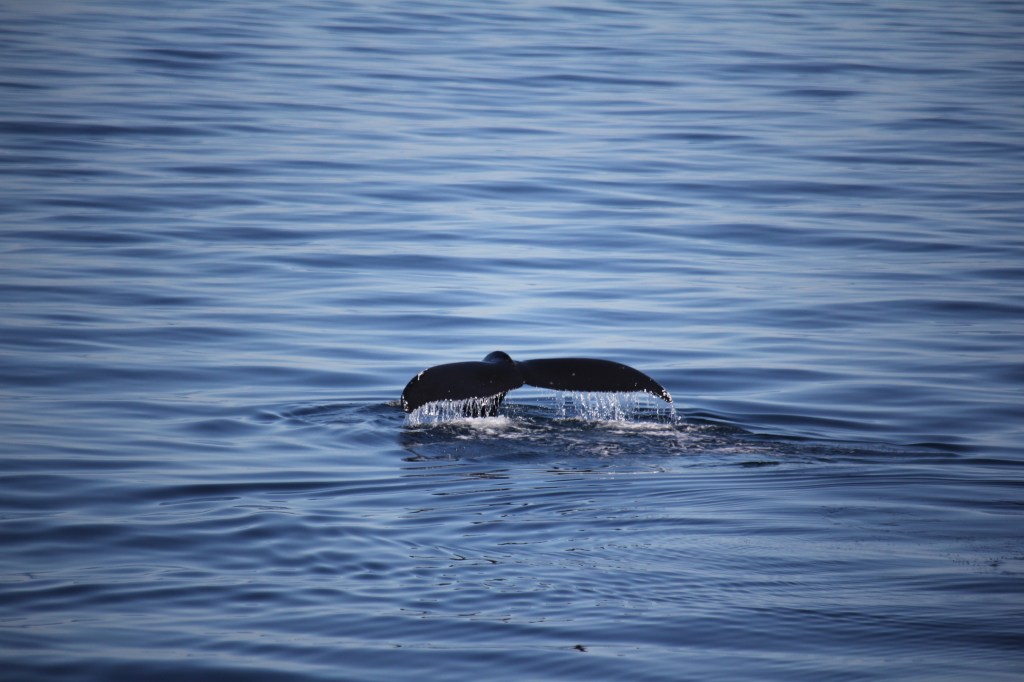
8/10 — Whale watching, out of Reykjavik harbor, before boarding the ship that afternoon. We were able to see lots of puffins, pod of dolphins as well as hump back whales
Boarding the Viking Mars
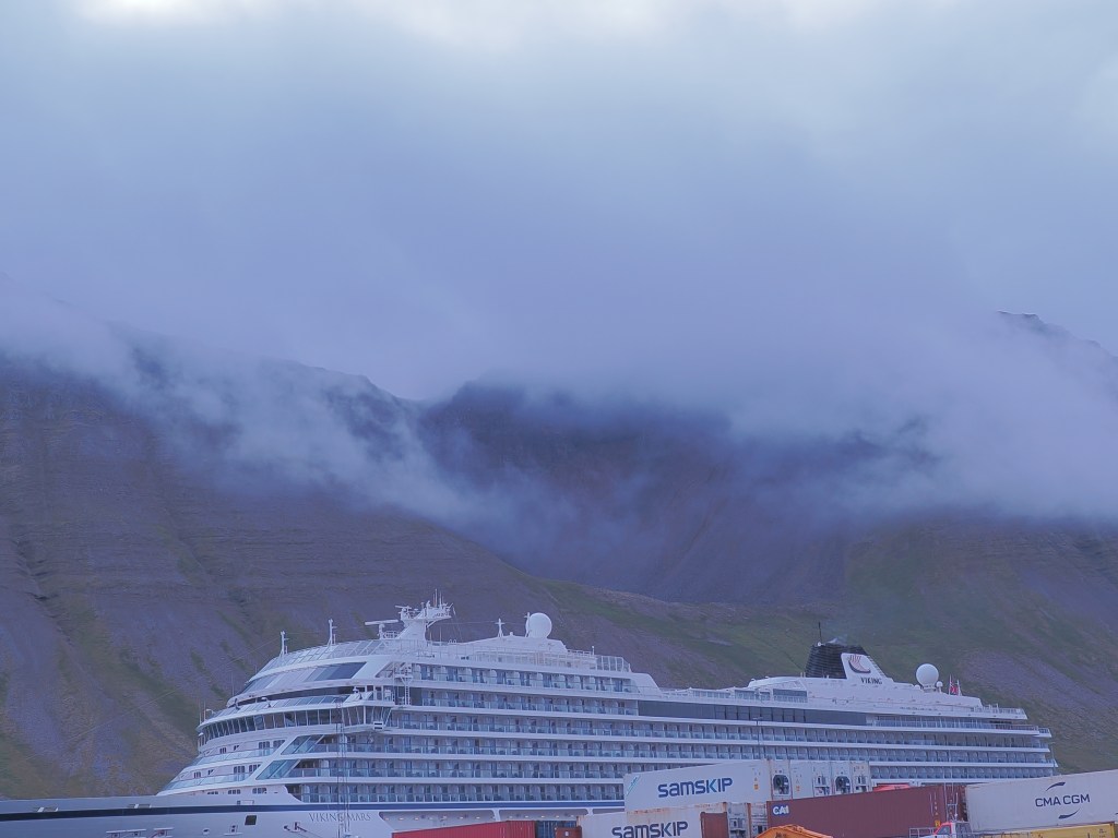
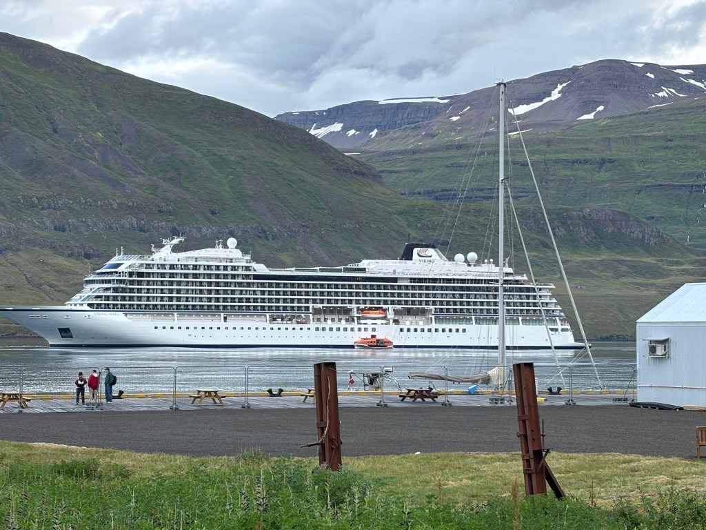
That afternoon we boarded the Viking Mars for the “Natural Treasures of Iceland” itinerary — a full circumnavigation of the island, port to port, counter-clockwise around the coast.
A few first impressions, for anyone considering Viking: it’s an adults-only line (18+), and it shows in the atmosphere — quiet, unhurried, no kids underfoot. The ship itself is clean in a way that borders on clinical, understated Scandinavian design rather than flashy resort styling, and it never once felt crowded despite carrying around 900 passengers.
That number mattered more to us than we expected. This was our first time on a big ocean ship. We’ve cruised before — a 16-passenger yacht through the Galápagos and a roughly 100-passenger boat down the Nile — and the jump in scale changed the whole feel of the experience. Smaller ships put you right up against the destination; you’re inches from wildlife, docking wherever a smaller boat can fit. A 900-passenger ship is a different kind of trip entirely — more like a floating hotel that happens to move overnight, with the destination arriving to you each morning rather than the other way around. Neither is better, but they’re not really comparable experiences, and it’s worth knowing that going in.
Around the Island
8/11 — Westman Islands (Heimaey): Our first scheduled stop was supposed to be Heimaey, and we’d been looking forward to it in part because of the puffins — but the weather had other plans. Conditions were too rough to land safely, so the ship never docked, and we spent the whole day out at sea instead, puffin count for the day: zero. A genuinely disappointing miss, and an early reminder that a circumnavigation runs on the ocean’s schedule, not yours.
8/12 — Djúpivogur: This quiet fishing village turned out to be the launch point for one of the best days of the entire trip — a drive out to Jökulsárlón Glacier Lagoon and Diamond Beach. It started raining before we’d even left port, and I’d basically made peace with a gray, muted day. Then we arrived and it didn’t matter.
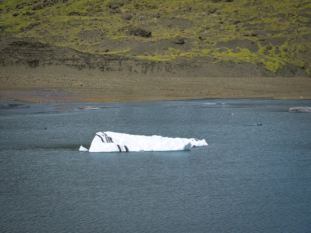
The lagoon isn’t one solid ice sheet — it’s hundreds of broken chunks scattered across still, dark water, some nearly clear, some a deep glacial blue, some streaked black and white where volcanic ash had folded into the ice over centuries. Jökulsárlón is actually Iceland’s deepest lake, connected to the Atlantic by a short tidal channel, which is the only reason Diamond Beach exists across the road — smaller bergs drift toward the sea, break apart near the channel mouth, and wash back up on the black sand looking exactly like scattered diamonds. The gray sky, if anything, made it better — flattening the light just enough that the blues in the ice seemed to glow from within instead of glaring under direct sun.
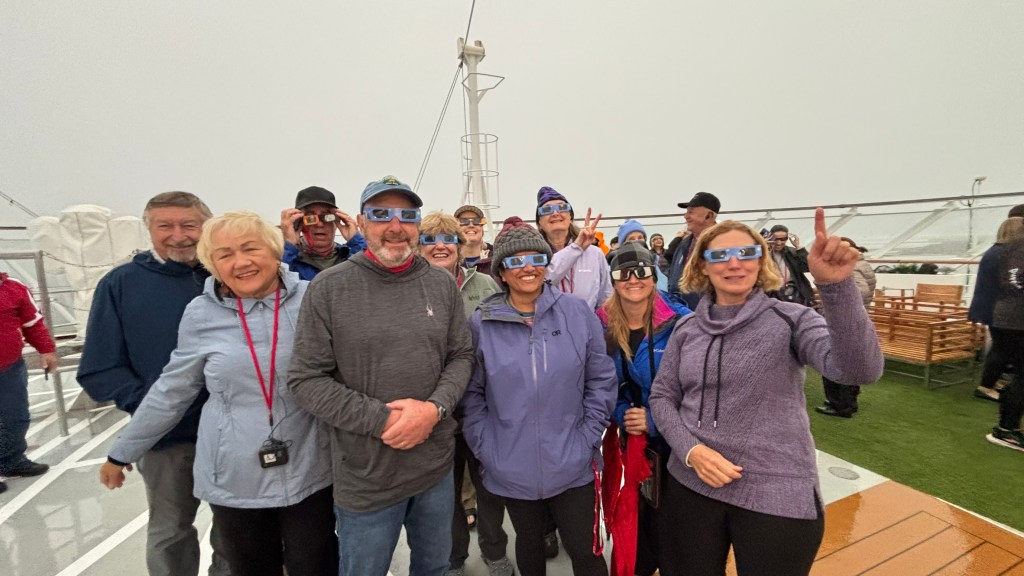
The eclipse we didn’t see: As it happened, we picked possibly the most inconvenient day possible for gray skies — August 12, 2026 was Iceland’s first total solar eclipse since 1954, and the first visible from Reykjavík in nearly 600 years. The path of totality only swept across the western side of the island (the Westfjords, Snæfellsnes, Reykjavík, and the Reykjanes Peninsula), so from our position on the east coast at Djúpivogur we would have only caught a deep partial eclipse at best — the sun more than 95% covered rather than fully blocked. Even that modest show never materialized for us; the same cloud cover that made the glacier lagoon glow so beautifully also kept the sky flat and gray through the eclipse window that afternoon. A strange bit of cosmic bad luck to pair with genuinely great glacier photography.
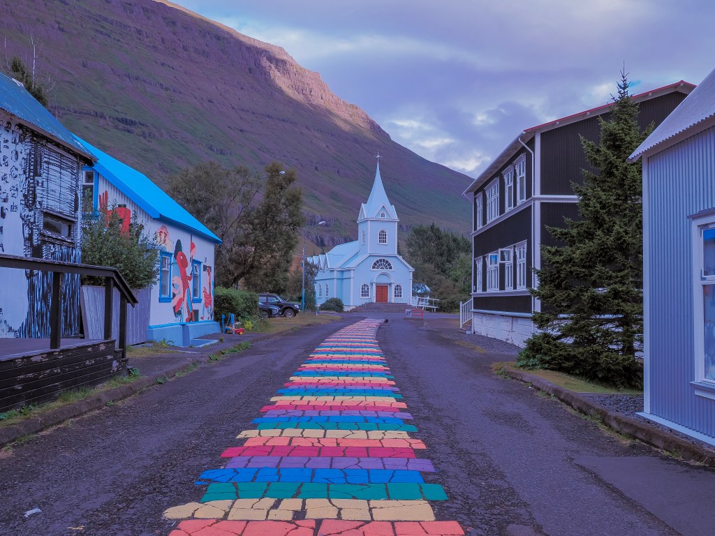
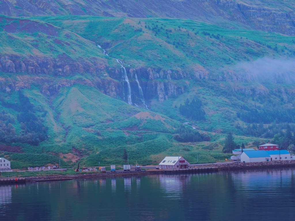
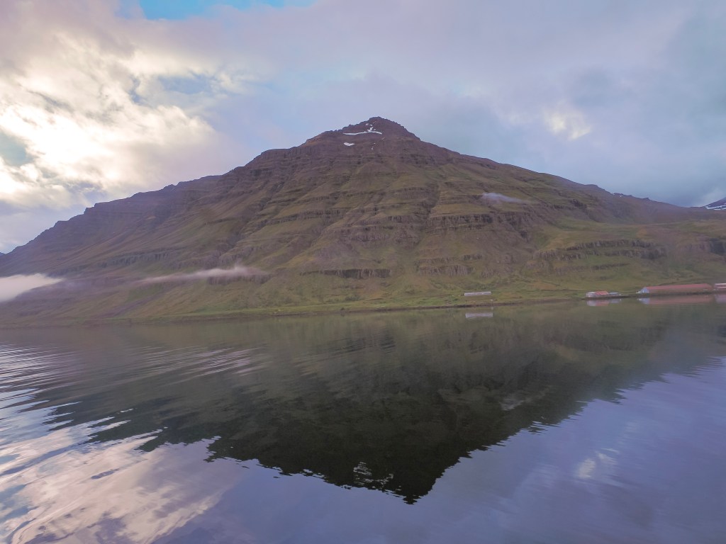
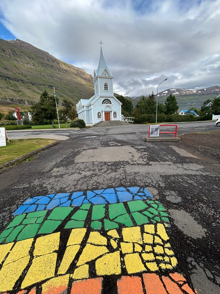
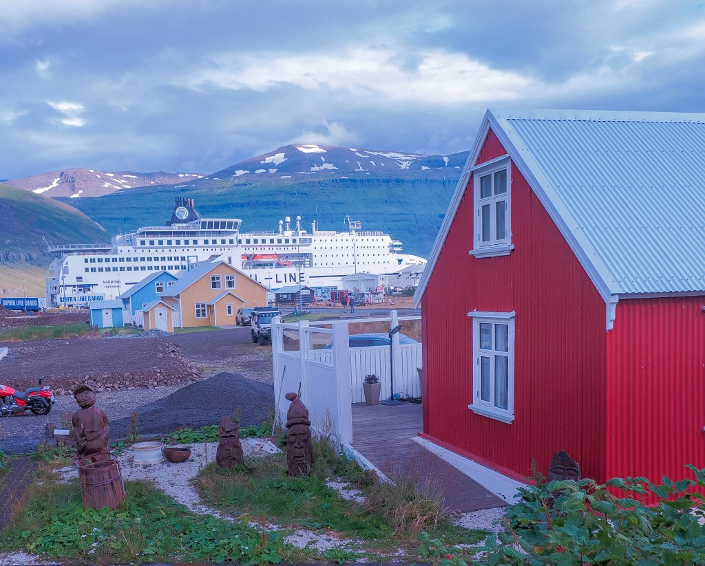
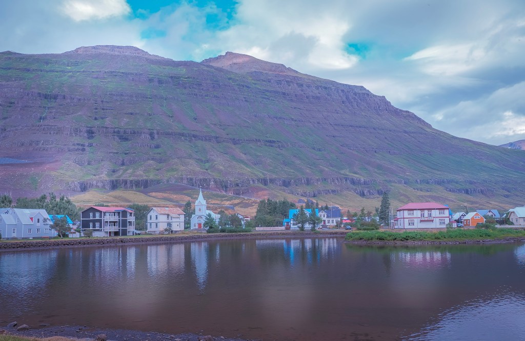
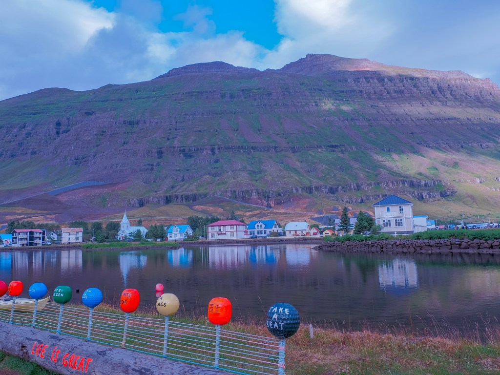
8/13 — Seyðisfjörður: We woke up to the ship easing into the fjord and immediately understood why this town is considered the most photographed in East Iceland. A waterfall — Búðarárfoss — sits practically built into the skyline above town, and after two rainy days in a row, we finally got sun. We took the first tender to beat the crowds and just wandered.
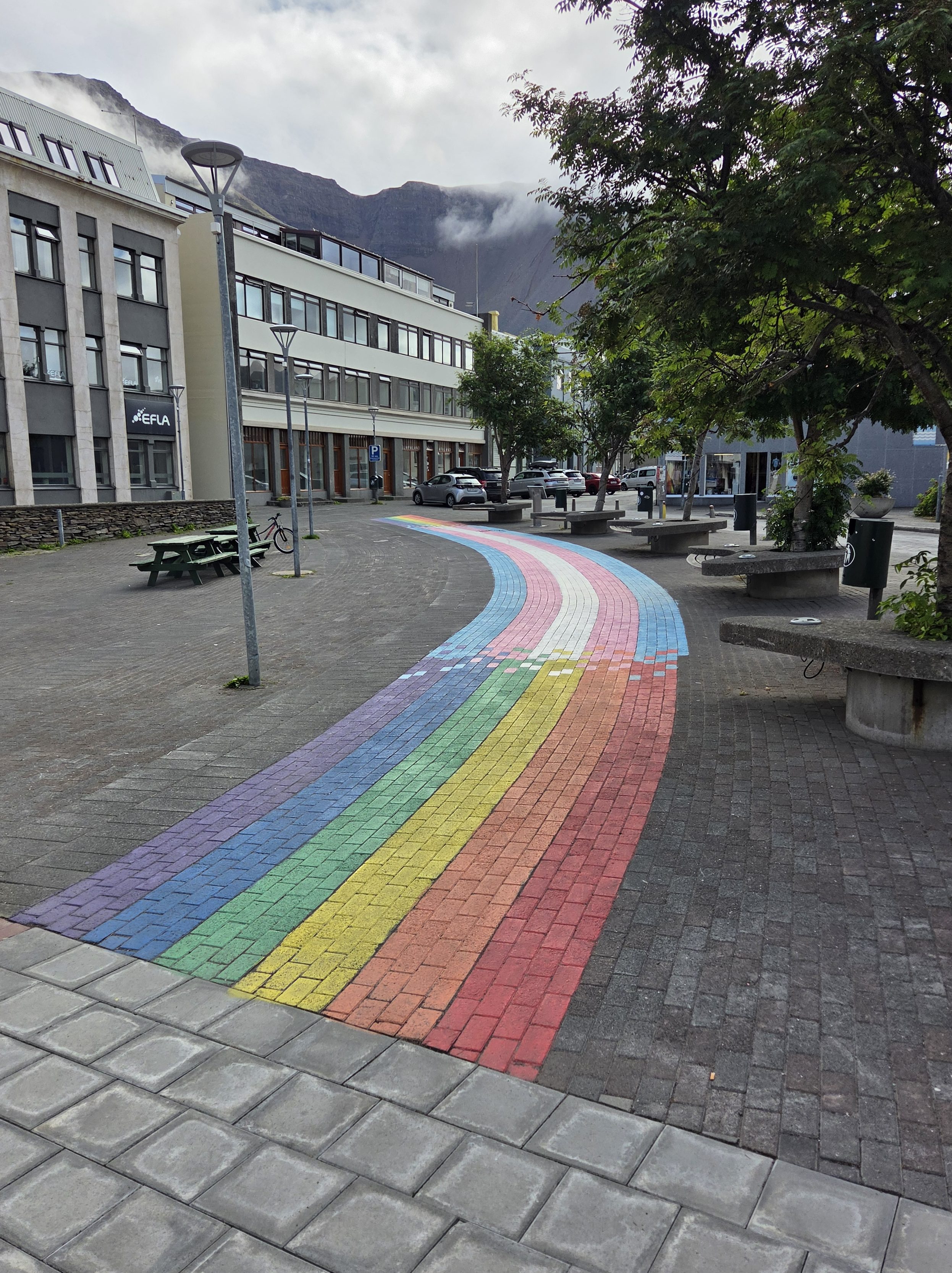
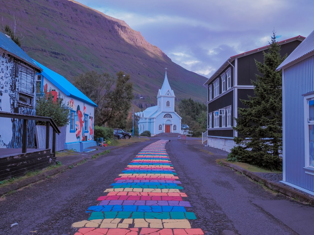
The signature shot here is Norðurgata, the rainbow-painted street leading straight up to a vivid blue church built in Norway in 1894 and shipped over in pieces — which explains the Norwegian timber architecture running through the whole town. Seyðisfjörður has a real creative streak too, anchored by the Skaftfell Art Center and the Tvísöngur sound sculpture, five concrete domes tuned to Iceland’s tradition of five-tone harmony. It’s also the arrival port for the Smyril Line ferry from the Faroe Islands and Denmark — we watched a whole line of RVs roll off a ferry docked nearby, a strange, fun contrast to how small and colorful the town otherwise felt.
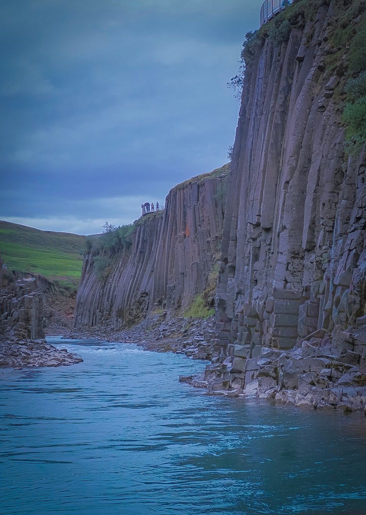
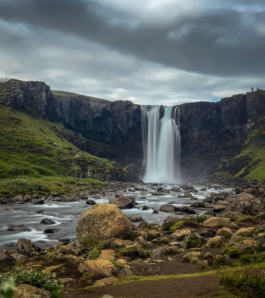
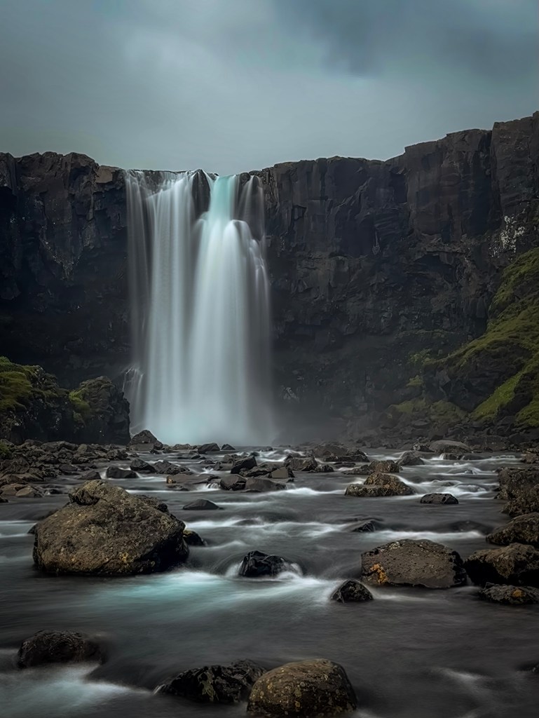
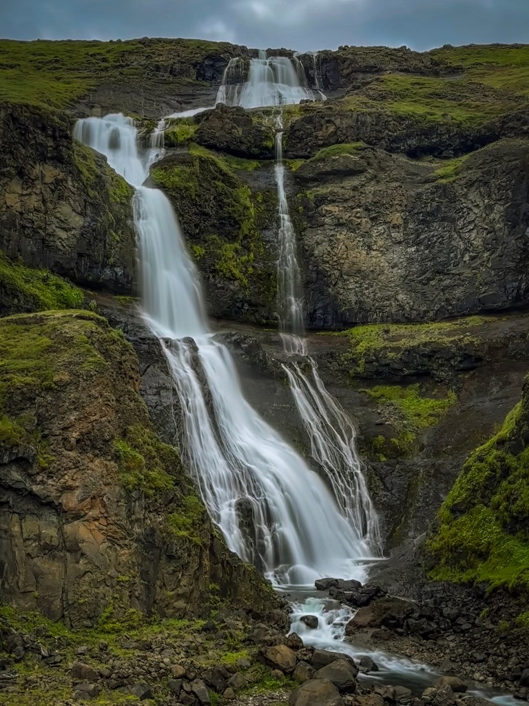
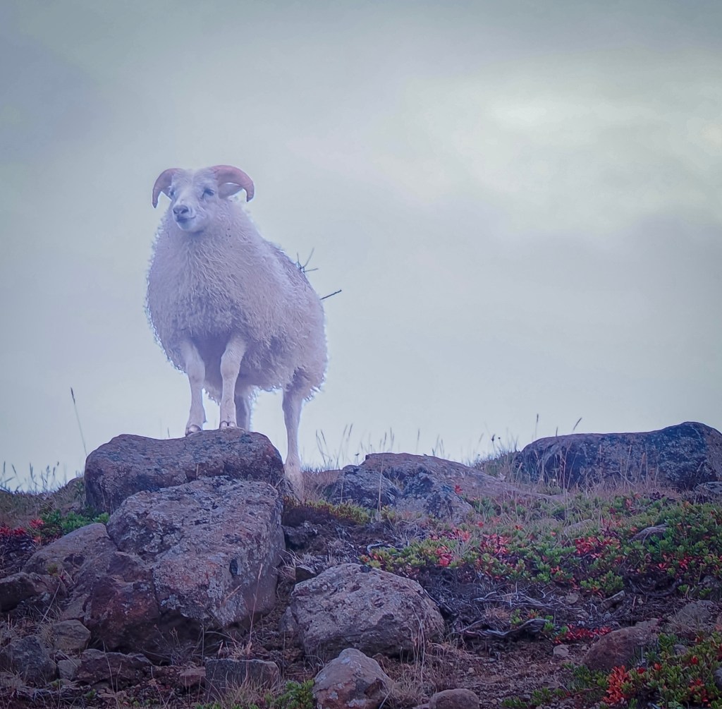
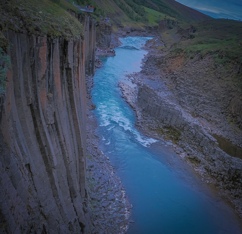
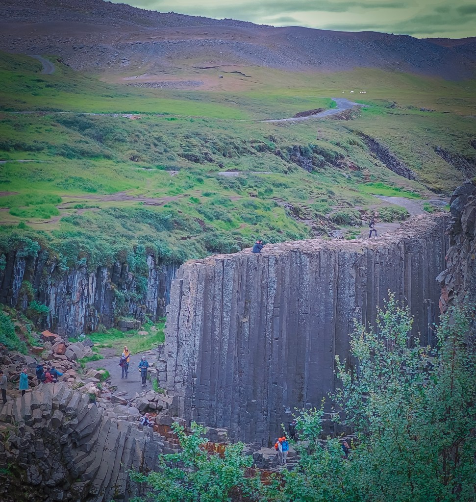
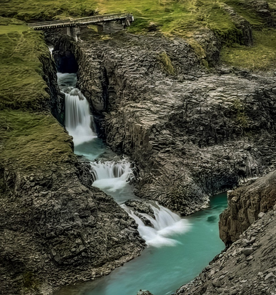
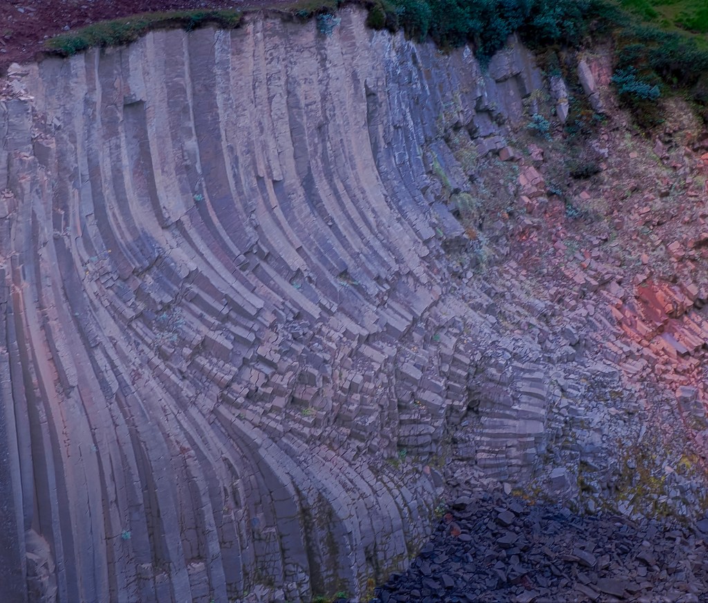
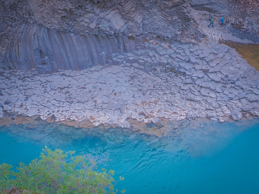
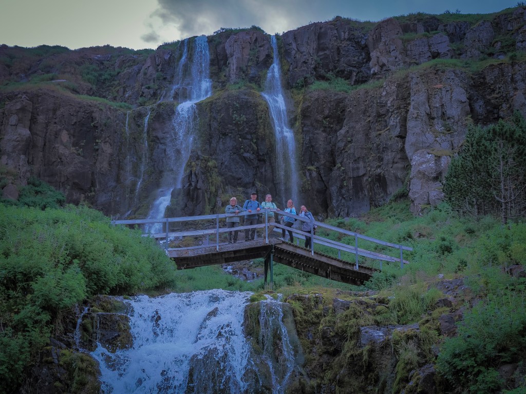
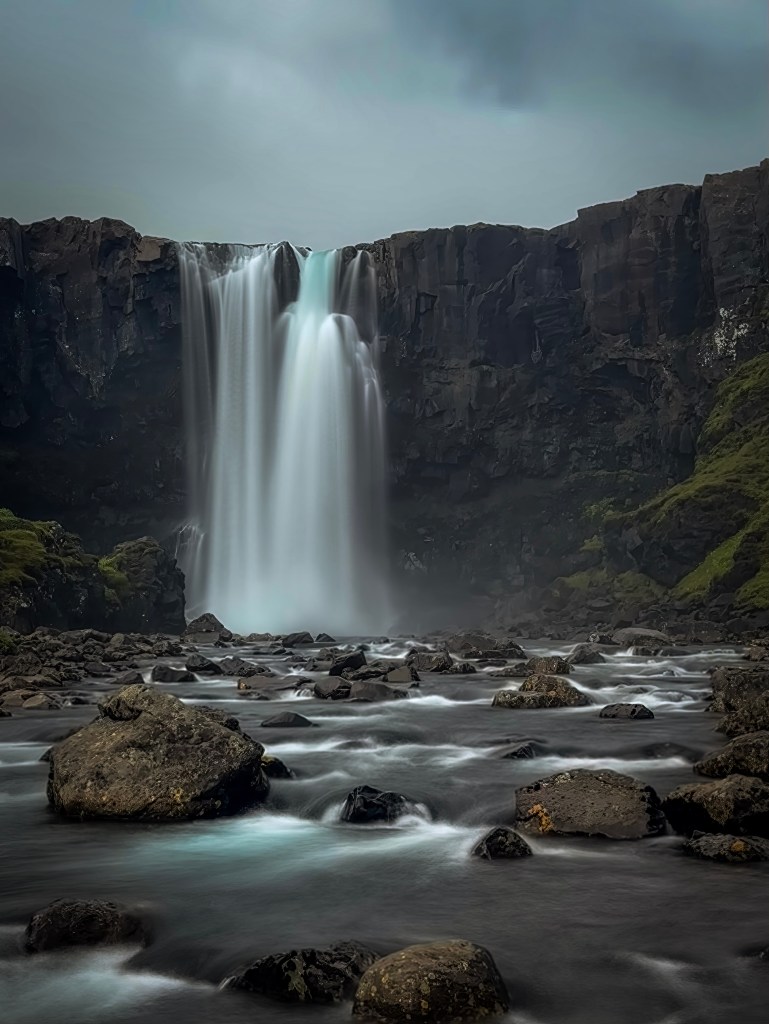
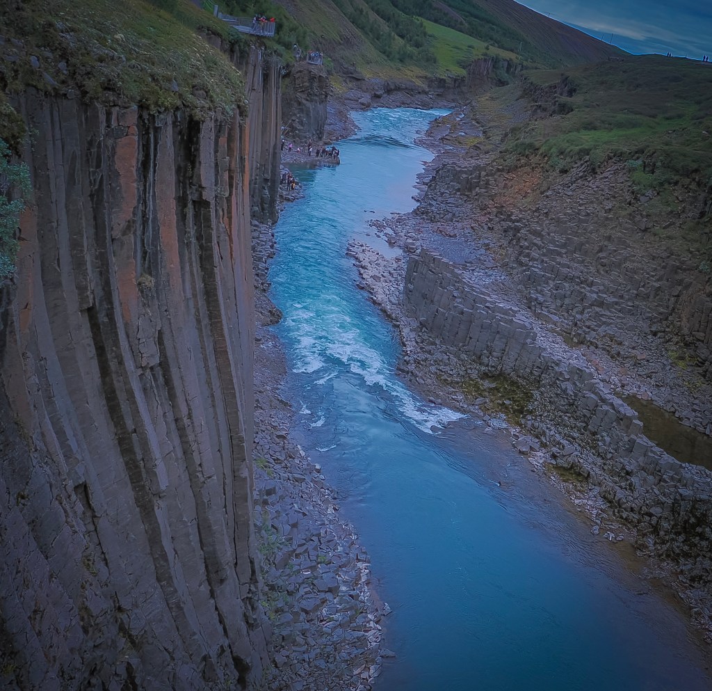
From there we booked a day tour inland toward Stuðlagil Canyon, stopping first at Gufufoss (a broad curtain of water over black basalt) and Rjúkandafoss (a multi-tiered cascade where I finally caught an Icelandic sheep posing perfectly on a rock at the edge of the falls). Stuðlagil itself was the real payoff — tightly packed hexagonal basalt columns rising straight out of a glacial river running an almost unreal turquoise. The canyon was hidden under the Jökla River for centuries until a hydropower project in the mid-2000s dropped water levels and exposed it; local shepherds didn’t even find it until 2016. We visited the west-side viewpoint, the quicker option via a short staircase — the east side offers better views but requires a much longer hike, so plan for it on a return trip with more time.
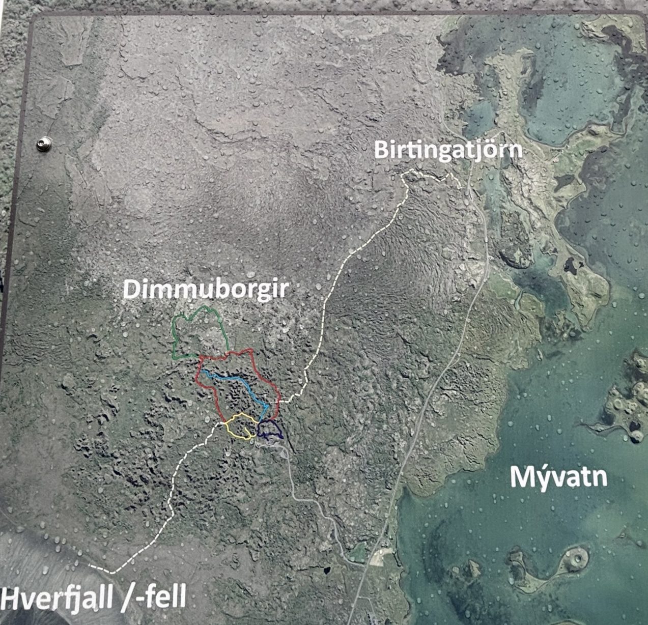
8/14 — Akureyri: Our shore excursion here turned into a full loop through the Mývatn / Diamond Circle region — Dimmuborgir, Námaskarð (Hverir), Lake Mývatn, and the Skútustaðagígar pseudo-craters, all in one day. This is the only tour we booked with Viking (Natural tressures of North Iceland). The rest of the trips were done on our own, booked through Viator.
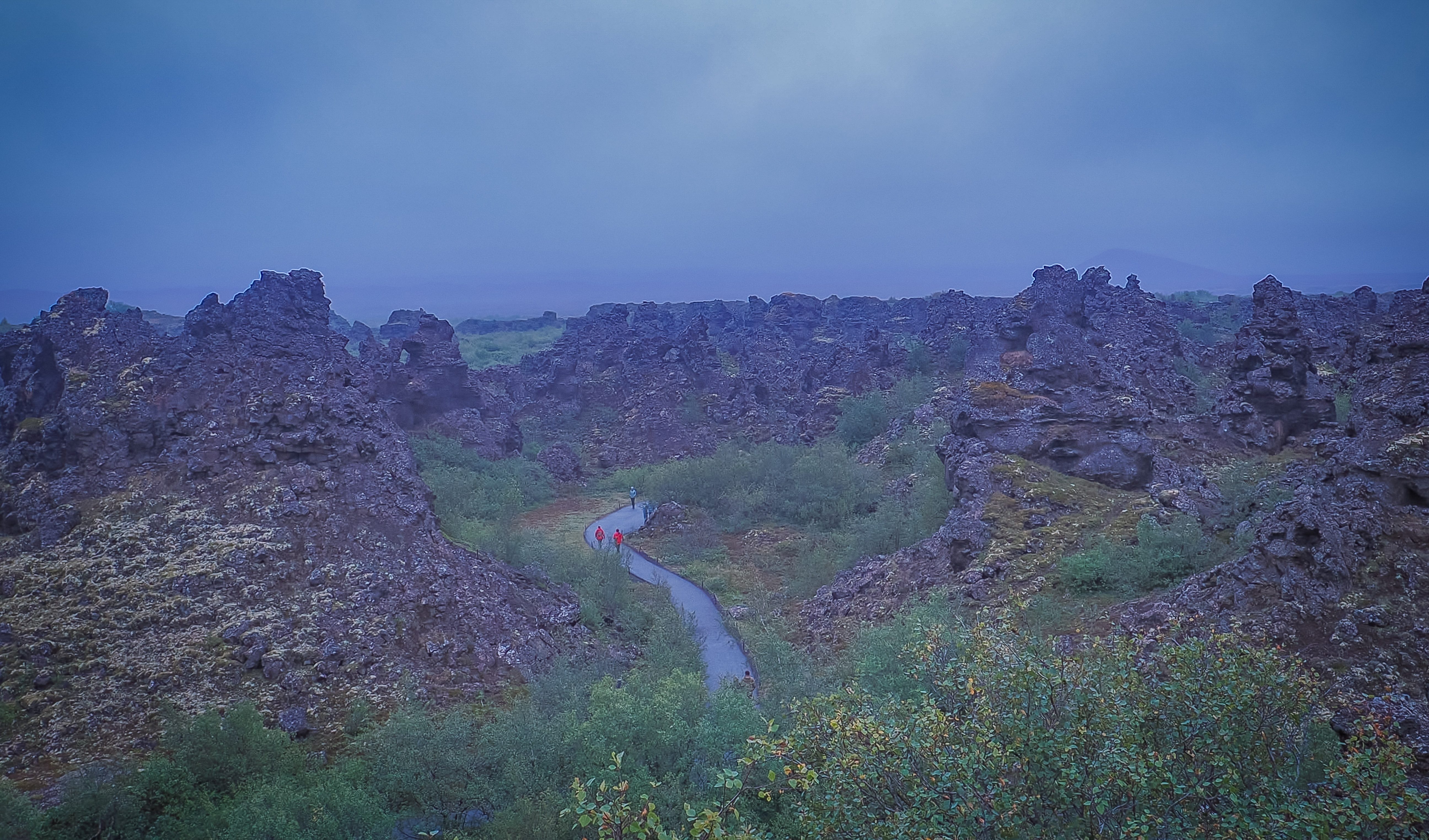
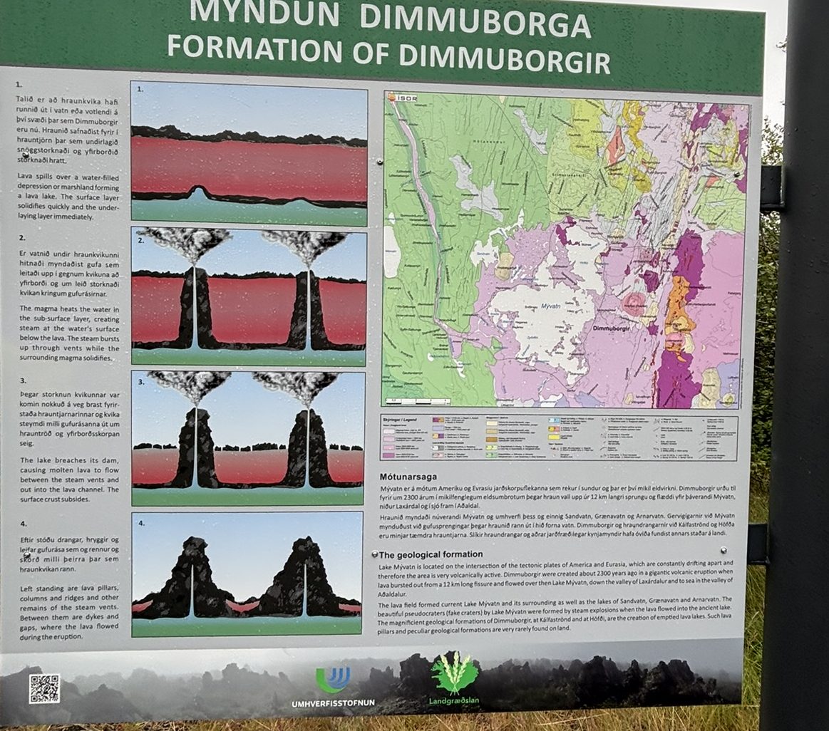
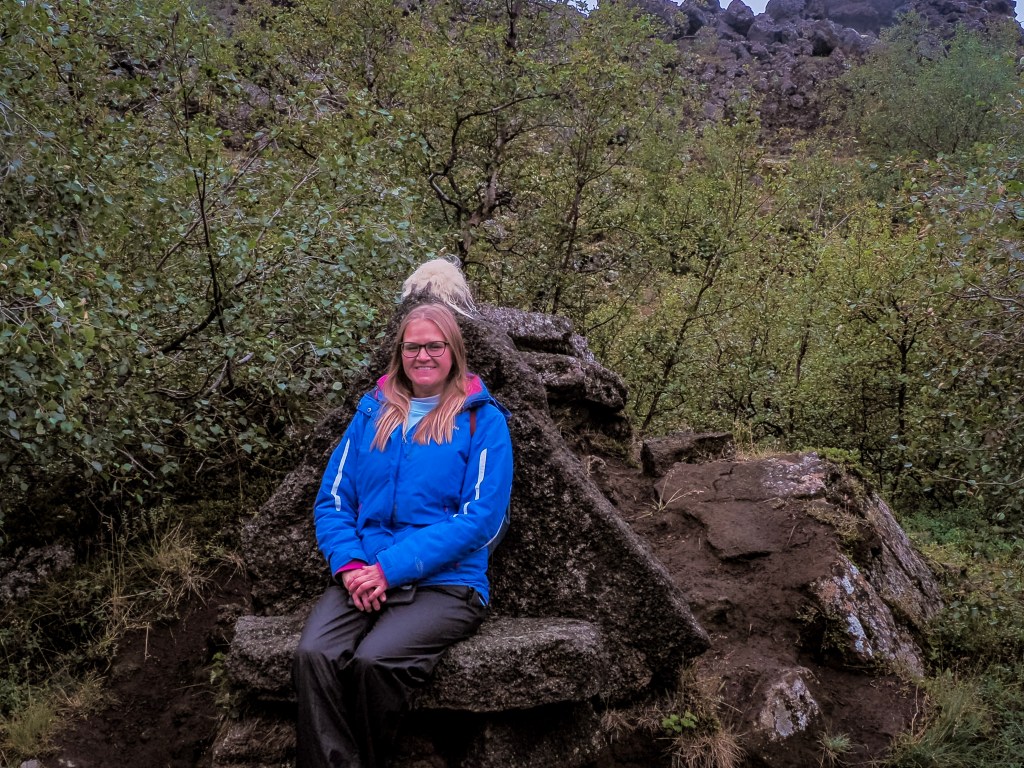
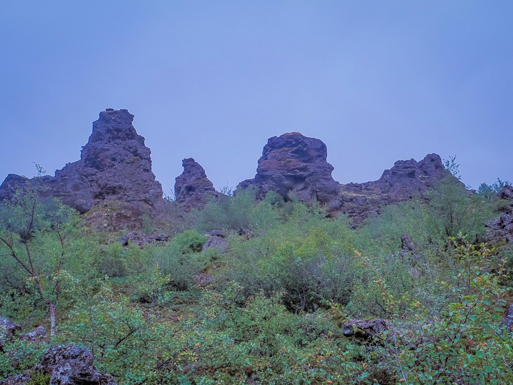
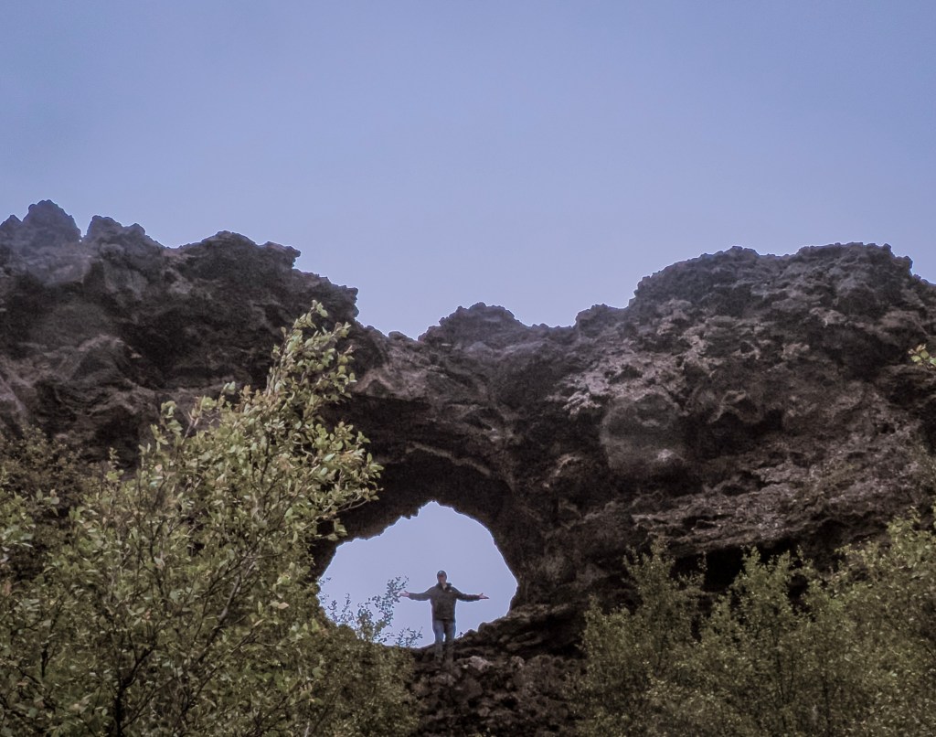
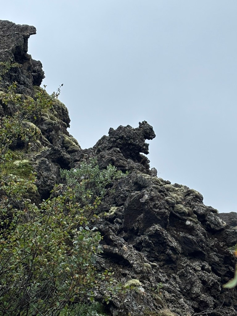
Dimmuborgir (“Dark Castles”) was easily one of the strangest landscapes of the whole trip — a maze of hollow lava pillars and twisted arches up to 65 feet tall, formed about 2,300 years ago when a lava flow rolled over a lake and trapped steam blasted channels up through the cooling rock. It’s steeped in folklore too, said to be the home of Grýla, the troll of Icelandic Christmas tradition, and fans of a certain fantasy show will recognize it as the Wildling army camp beyond the Wall.
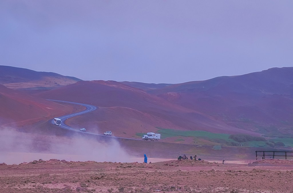
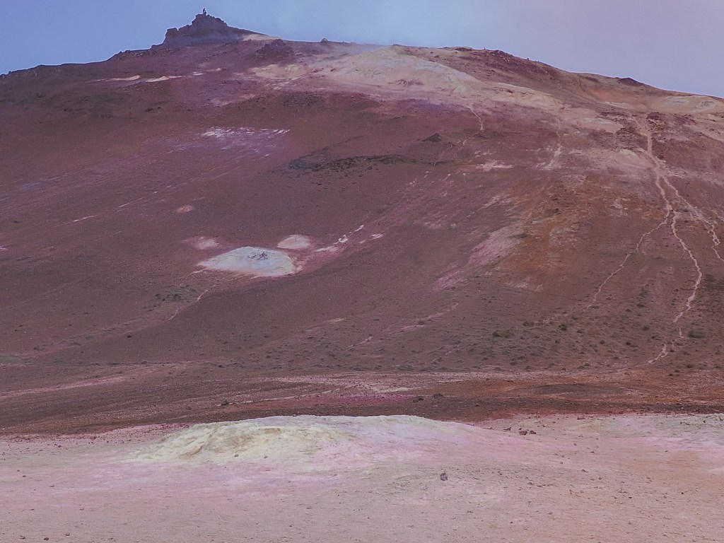
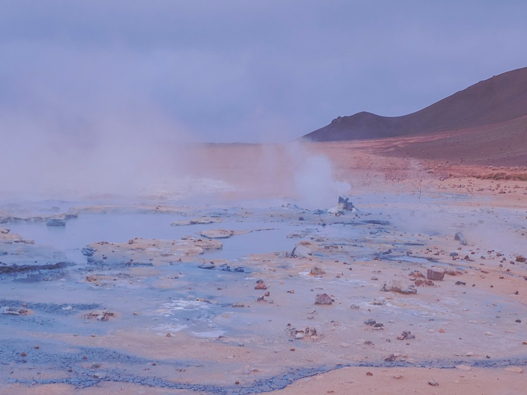
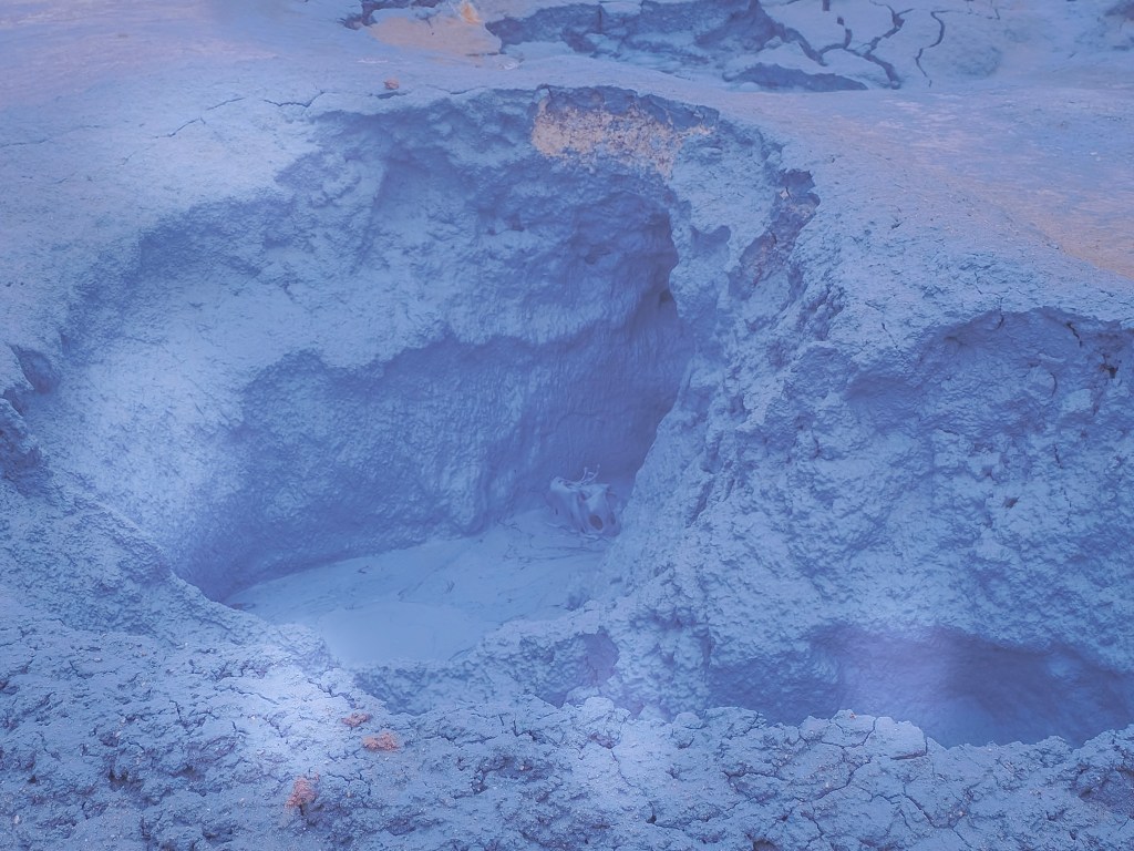
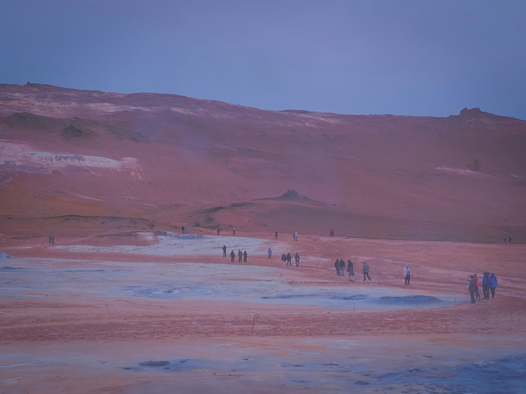
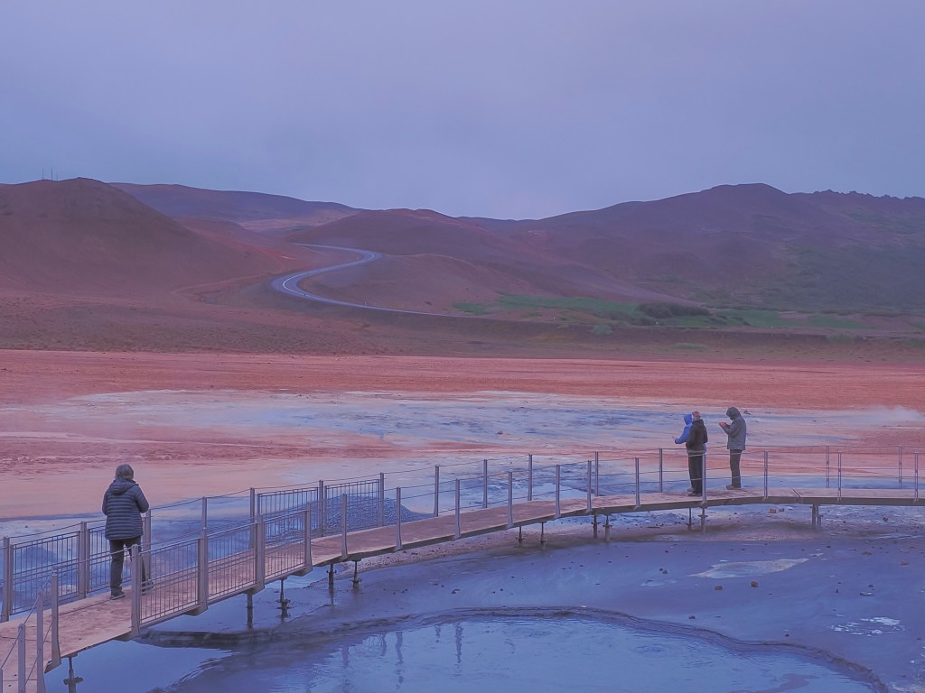
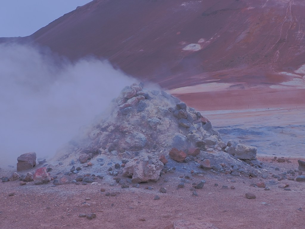
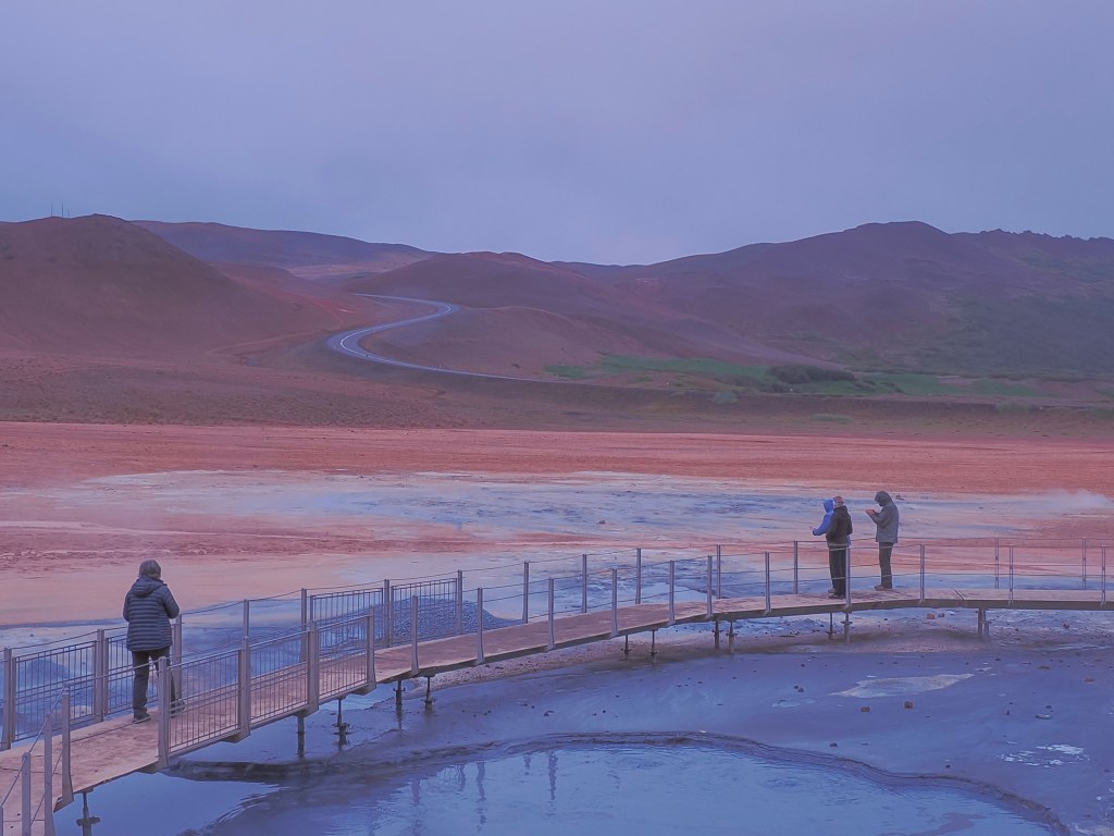
From there we hit Hverir (Námaskarð), a barren, sulfur-stained stretch locals nickname the Devil’s Kitchen — hissing steam vents, bubbling gray mud pots, and ground streaked yellow and orange from mineral deposits, with zero hiking required to be right in the middle of it. Surprisingly, this spot has a genuine military history: sulfur mined here supplied a share of the gunpowder used across medieval and early modern Europe, until the Danish Crown took control of the deposits in the 16th century.
We closed the loop with Lake Mývatn itself — a shallow volcanic lake ringed by pseudocraters and rich birdlife, swans included — under a steady rain that somehow suited the otherworldly terrain. We skipped Dettifoss, admittedly, on the theory that we’d already seen seven or eight waterfalls by that point in the trip and needed a break.
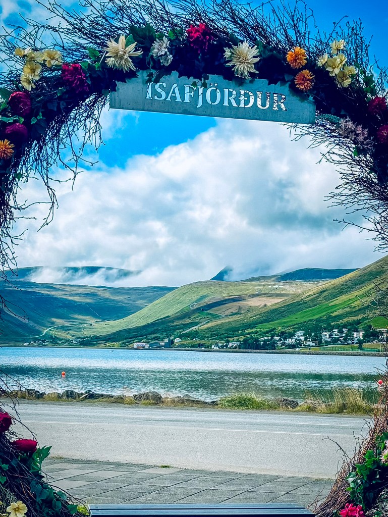
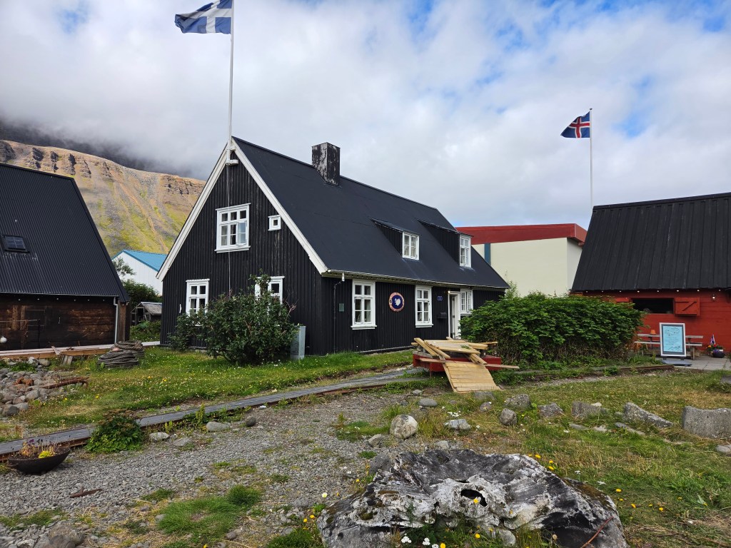
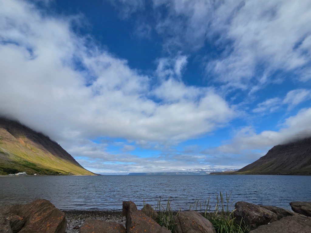
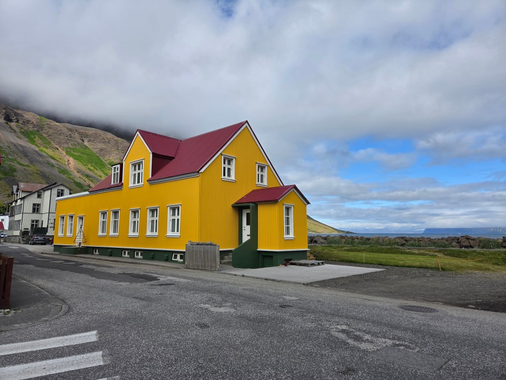
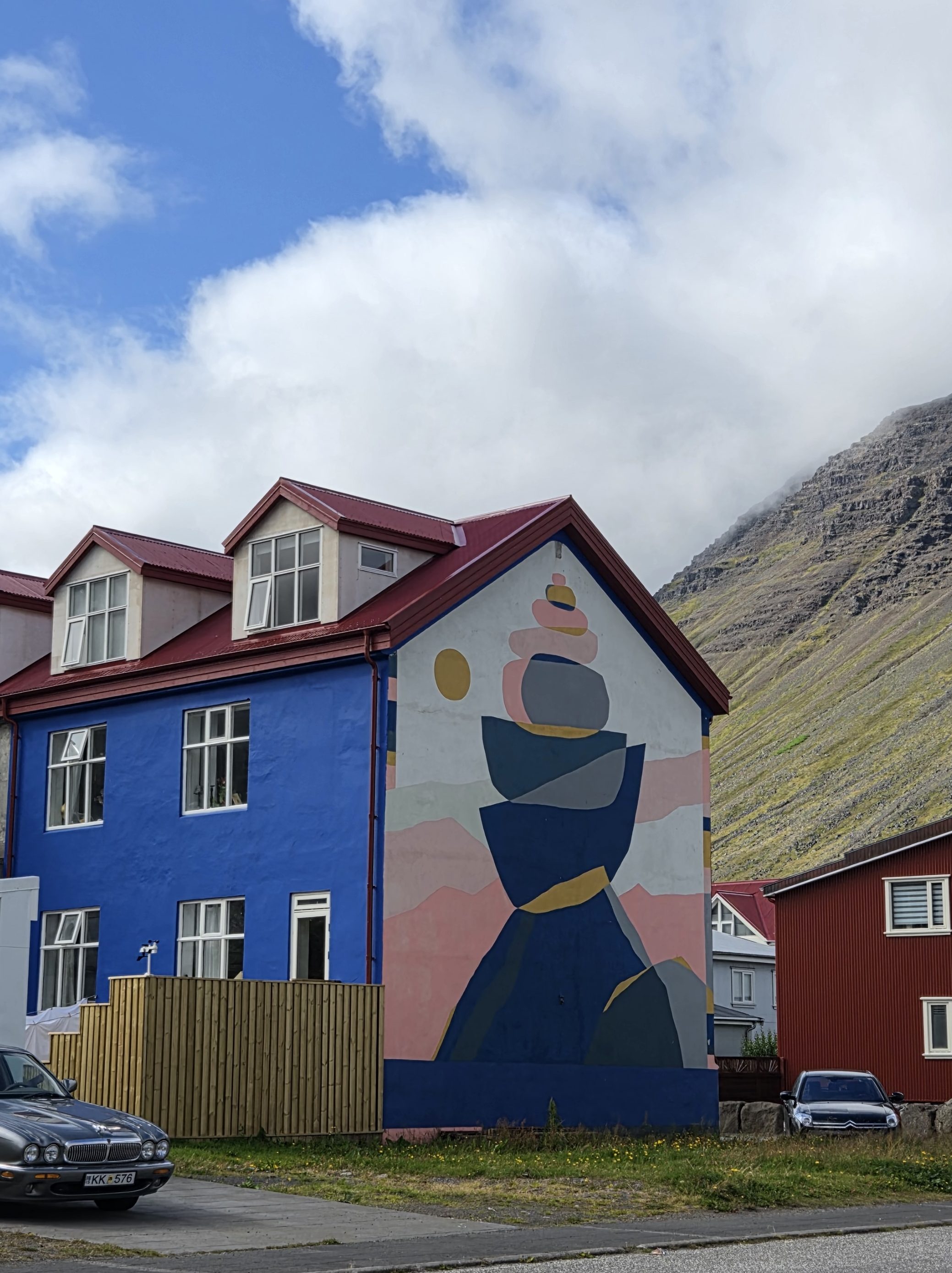
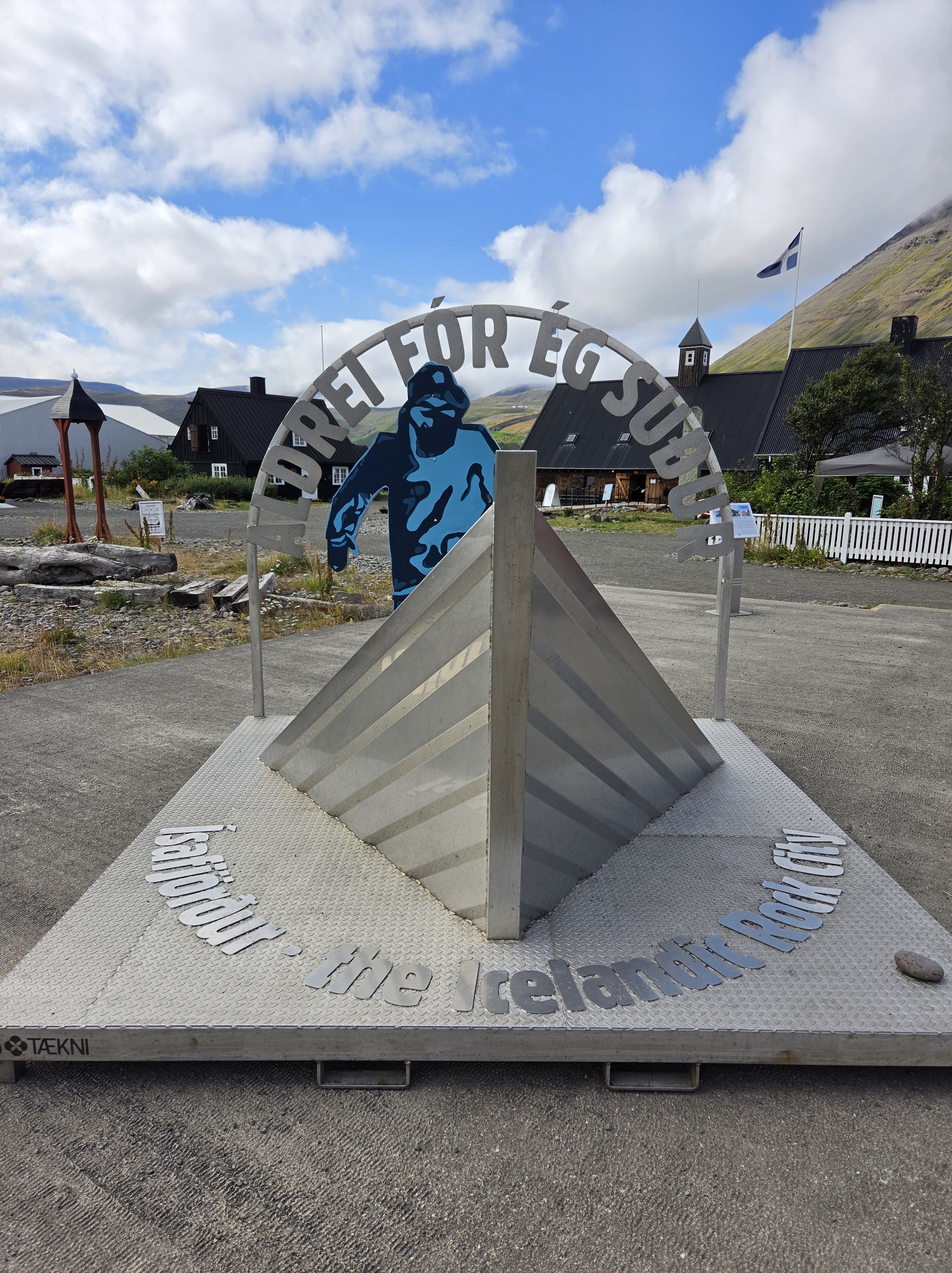
8/15 — Ísafjörður: Our final port before heading back, and one of the most memorable of the whole cruise thanks to a last-minute change of plan.
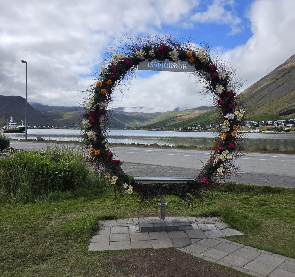
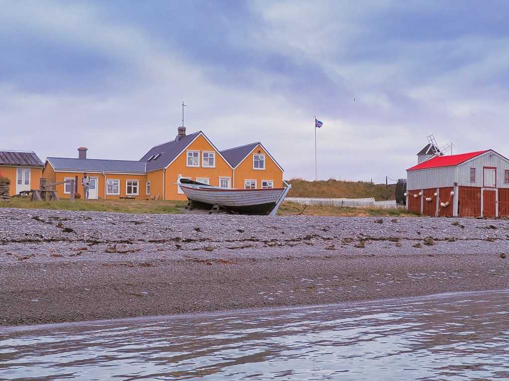
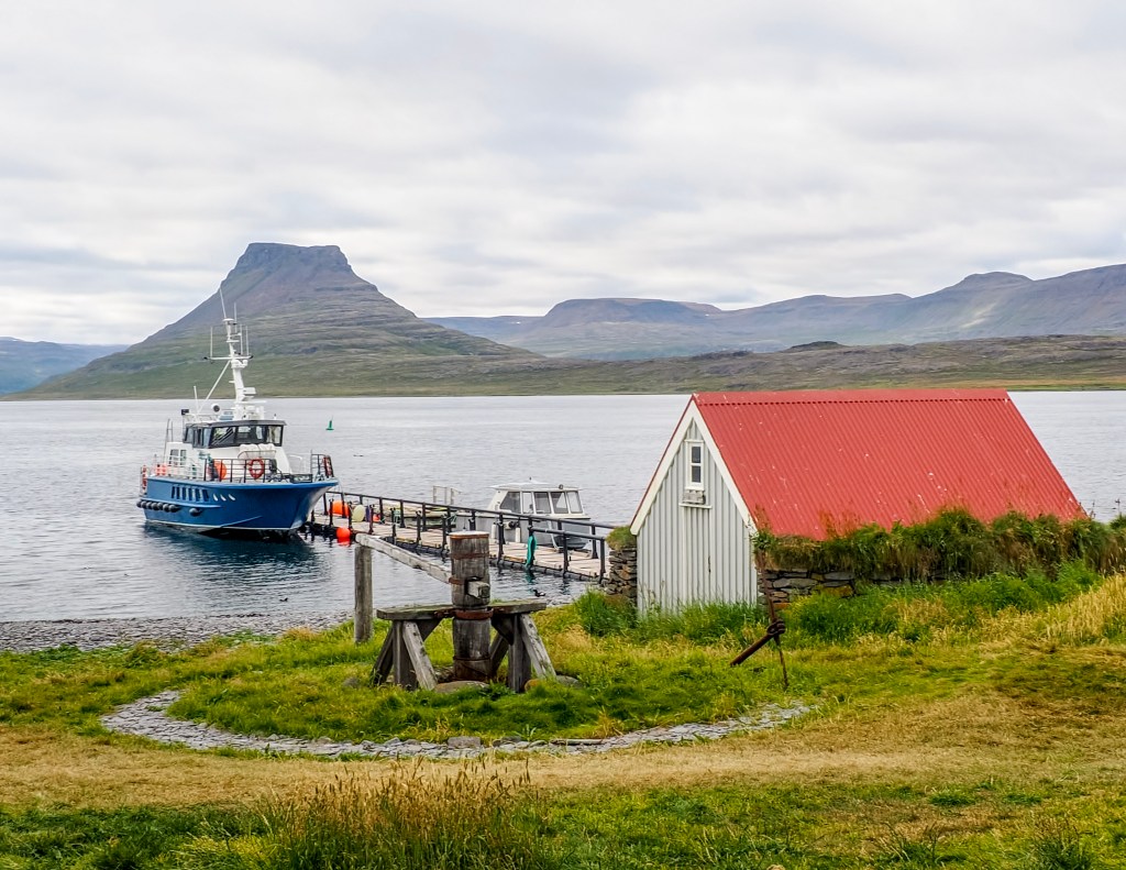
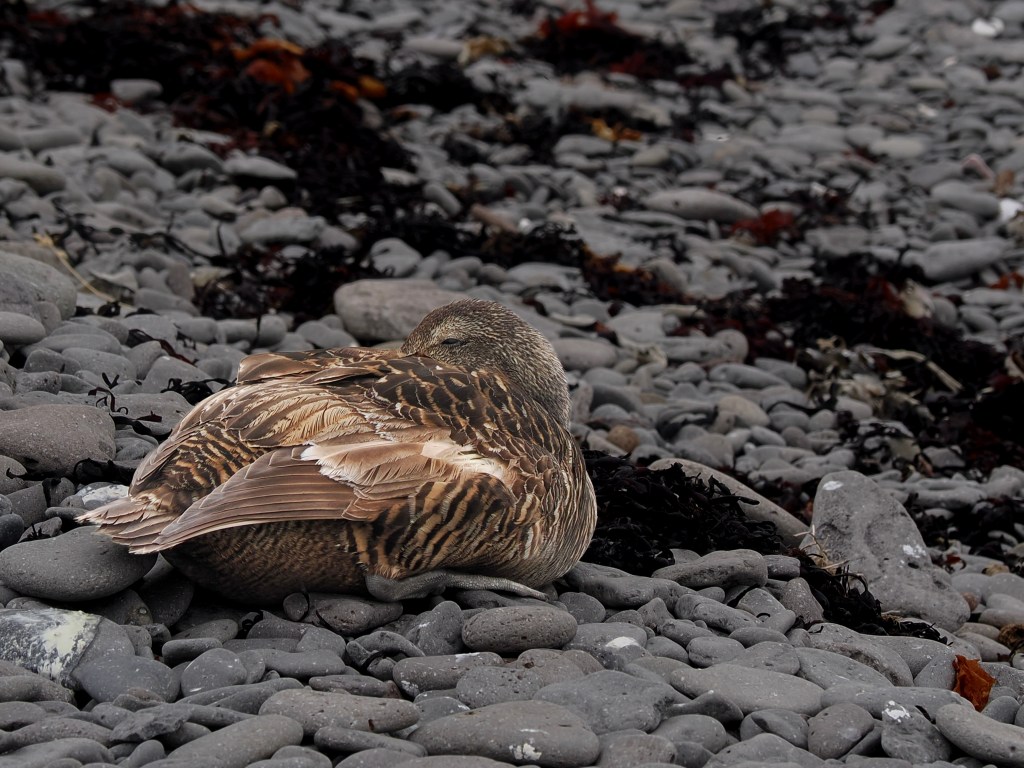
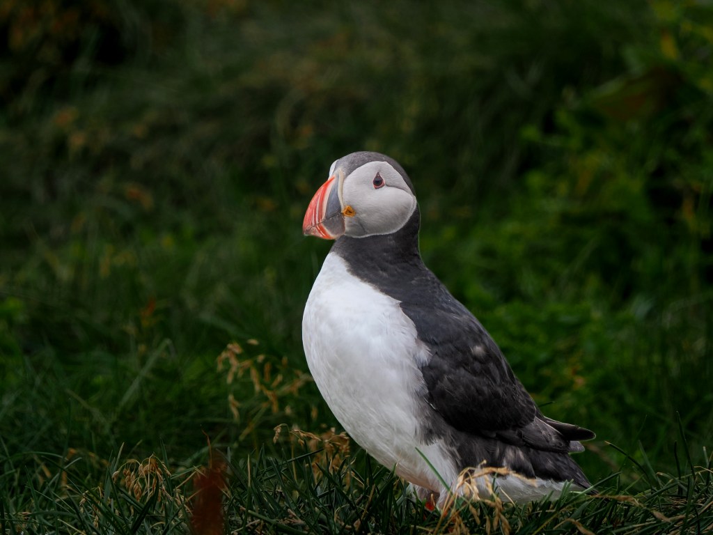
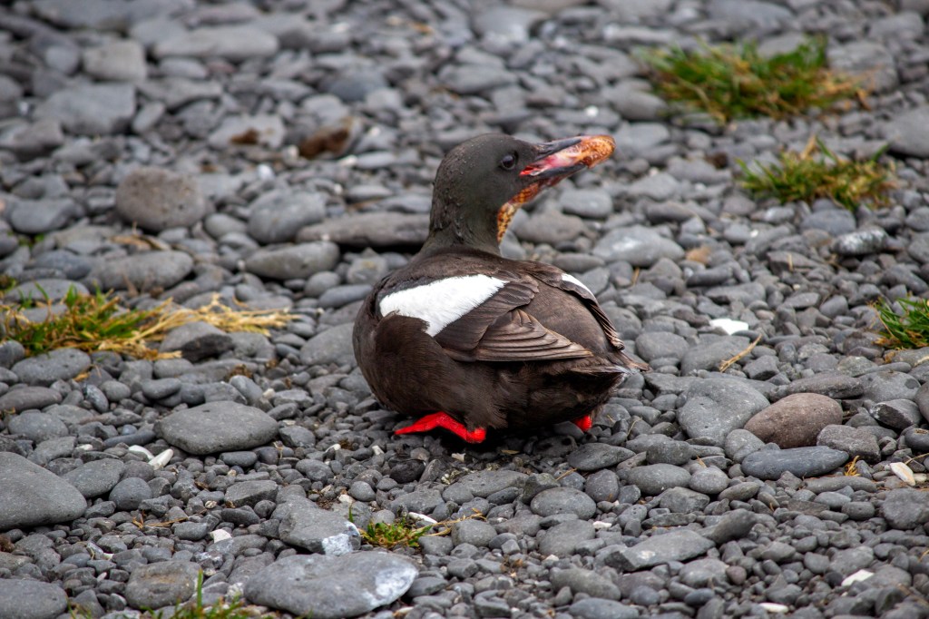
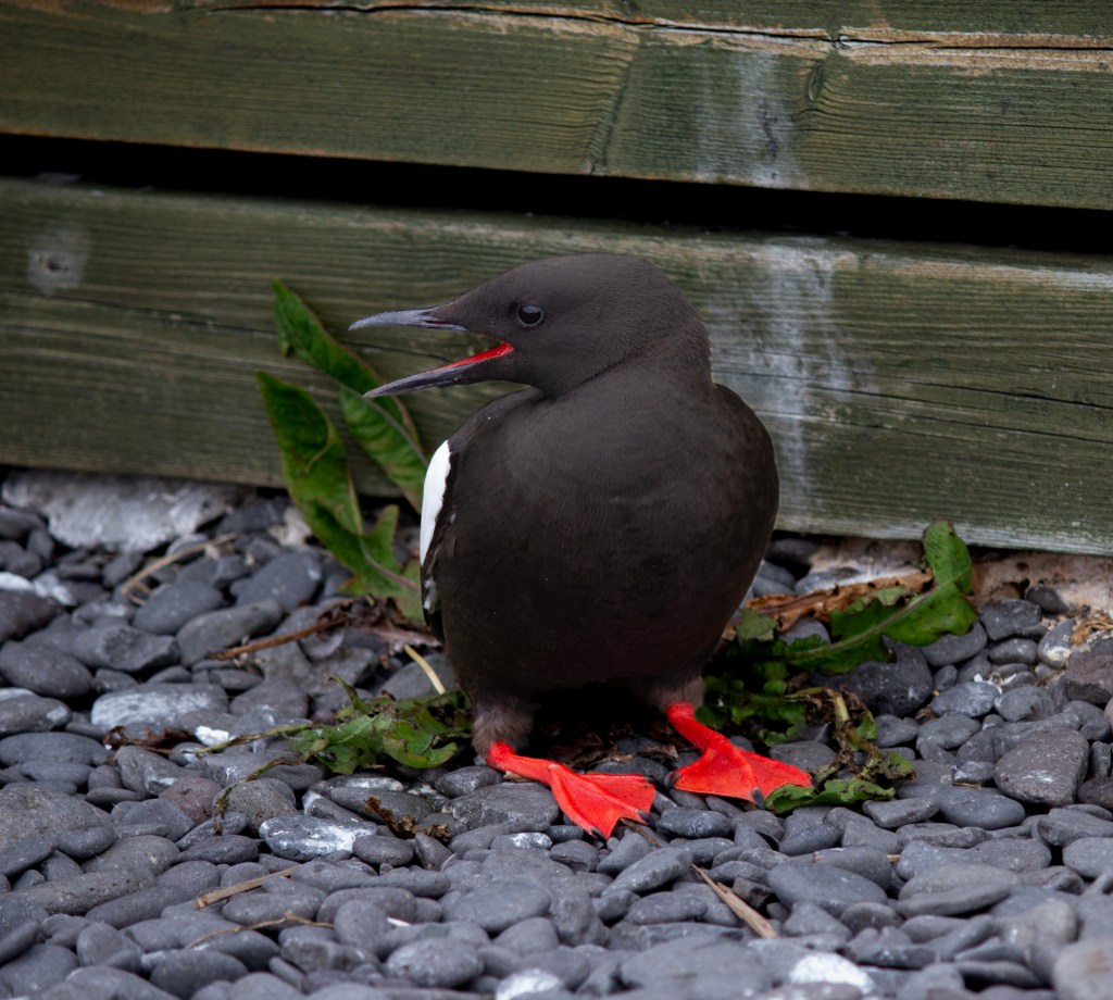
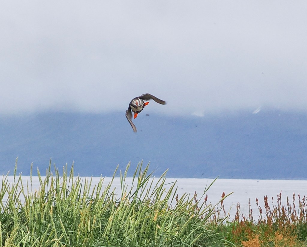
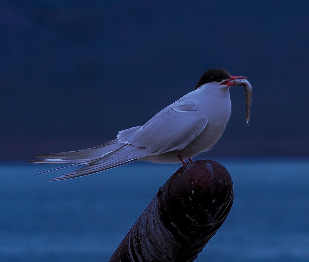
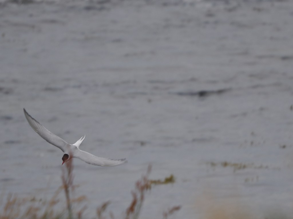
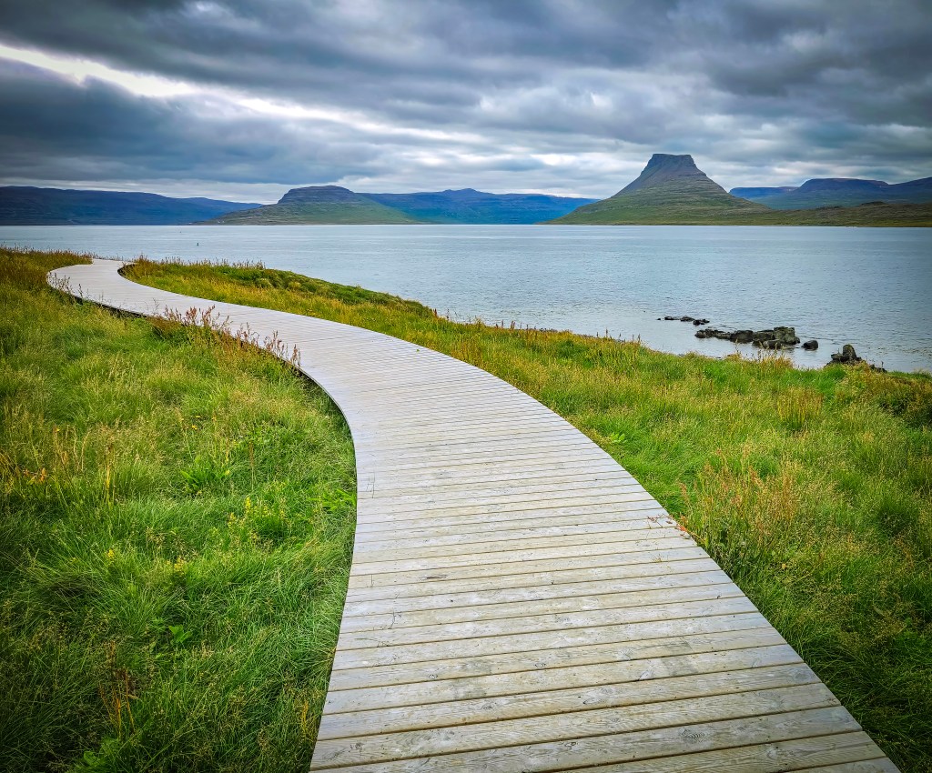
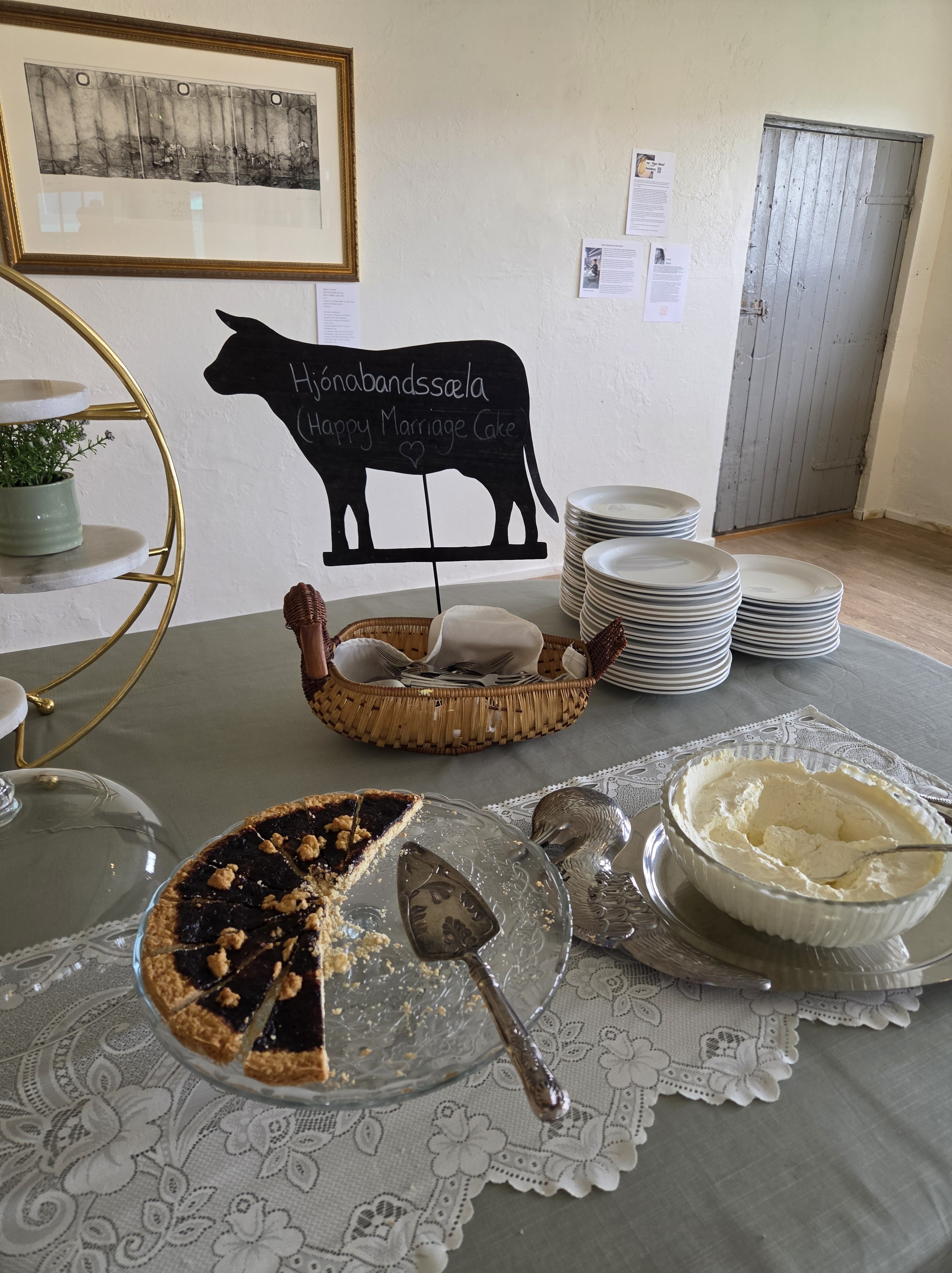
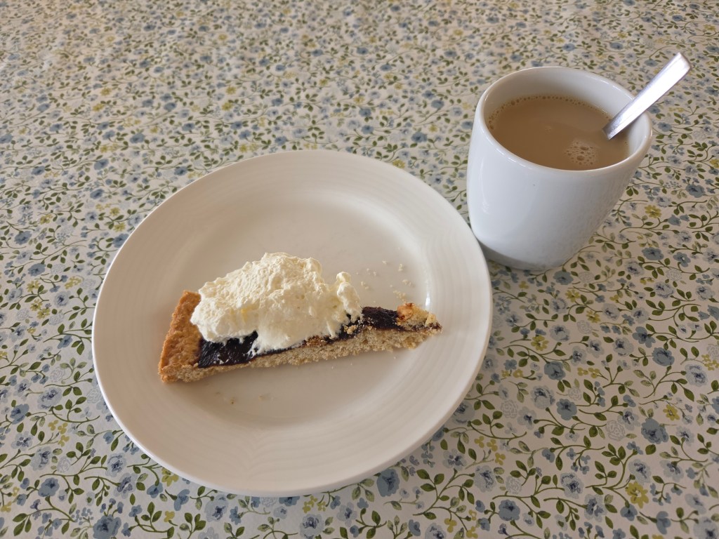
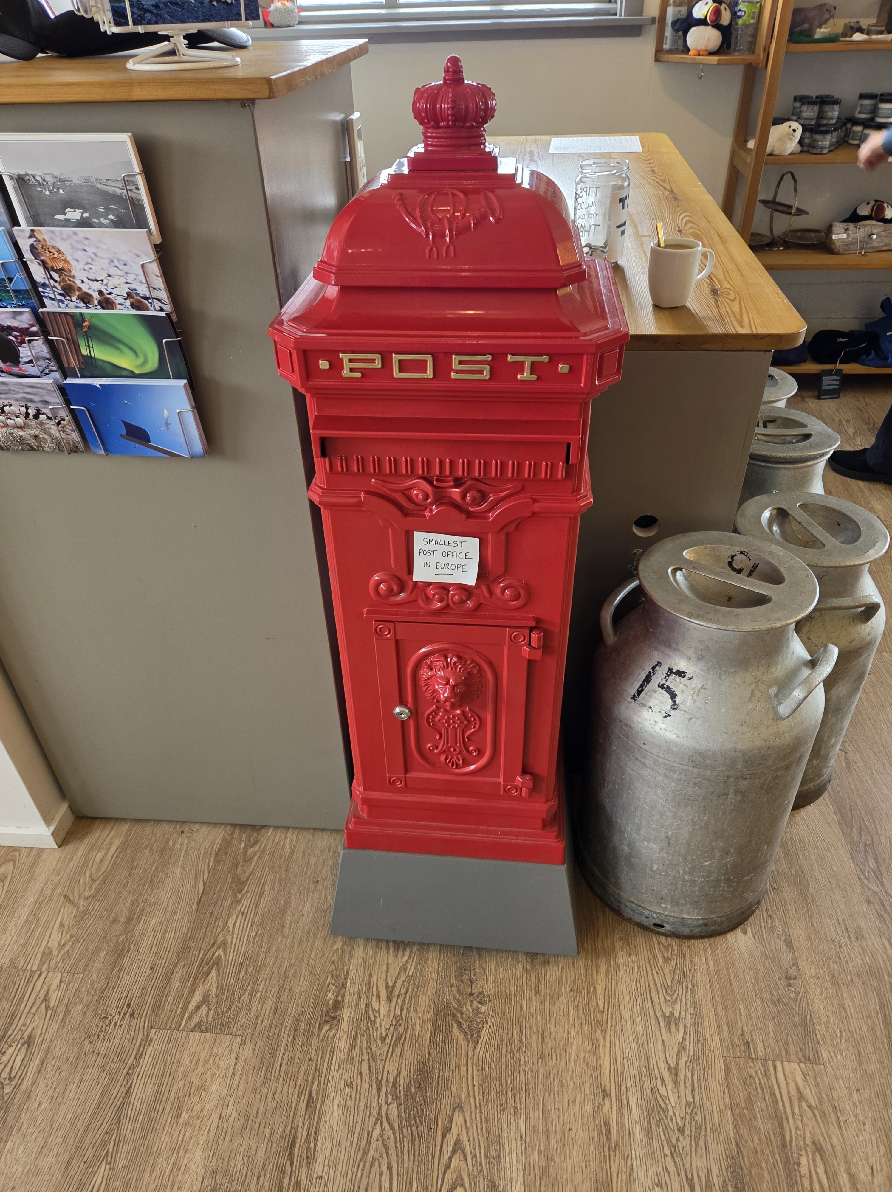
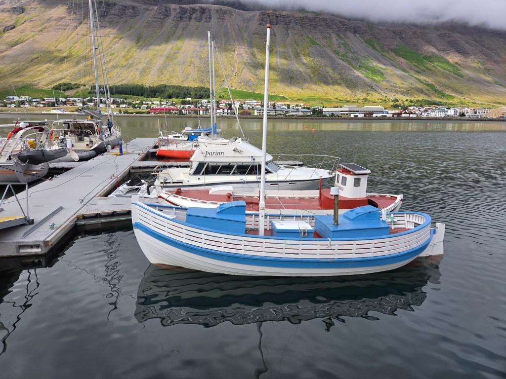
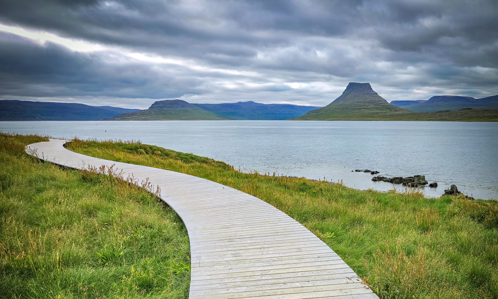
We’d originally booked a tour to Dynjandi Waterfall, but a couple of nights earlier I stumbled on a puffin tour to Vigur Island instead — and since we’d struck out on puffins at Heimaey, that sealed it. A 30-minute boat ride out into Ísafjarðardjúp fjord brought us to a tiny island that’s home to just one family and roughly 100,000 puffins. The current owner, Felicity Aston, is a British polar explorer who in 2012 became the first woman to ski solo and unassisted across Antarctica; she and her husband now run Vigur as a working eider farm, sustainably harvesting the down the ducks naturally shed after nesting season. We walked the “Puffin Path,” a boardwalk built with National Geographic–Lindblad Expeditions that lets you get remarkably close to the burrows, while Arctic terns nesting alongside the trail dive-bombed anyone who got too close for comfort. We finished with a slice of Hjónabandssæla, a traditional rhubarb “marriage cake,” and mailed postcards from what claims to be Europe’s smallest post office.
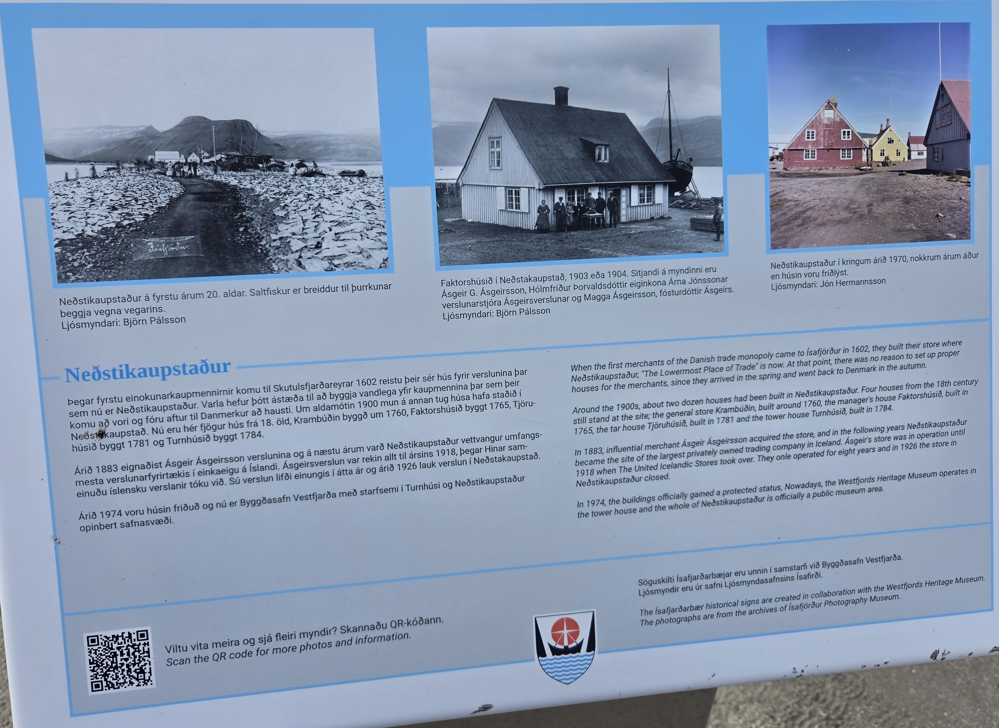
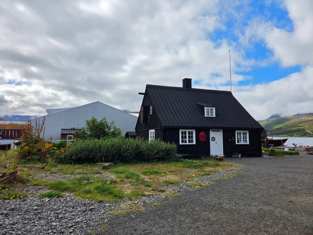
Back in town, we spent the afternoon wandering Neðstikaupstaður, Ísafjörður’s old harbor district of colorful timber trading houses dating to the 1700s, before heading back to the ship.
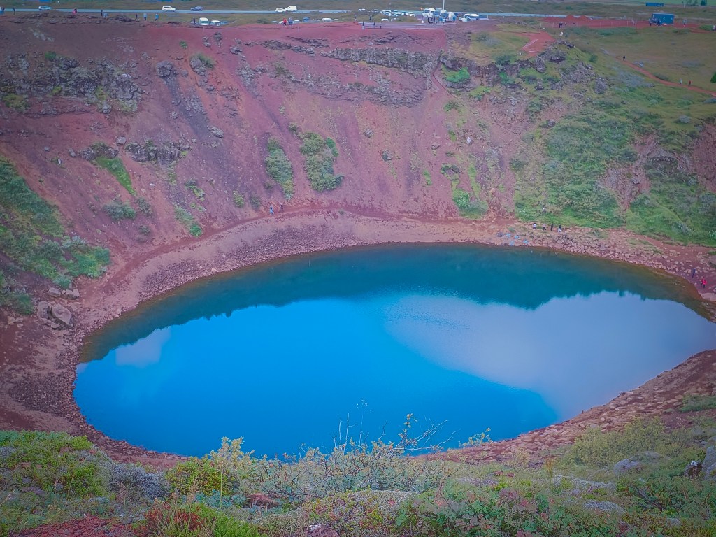
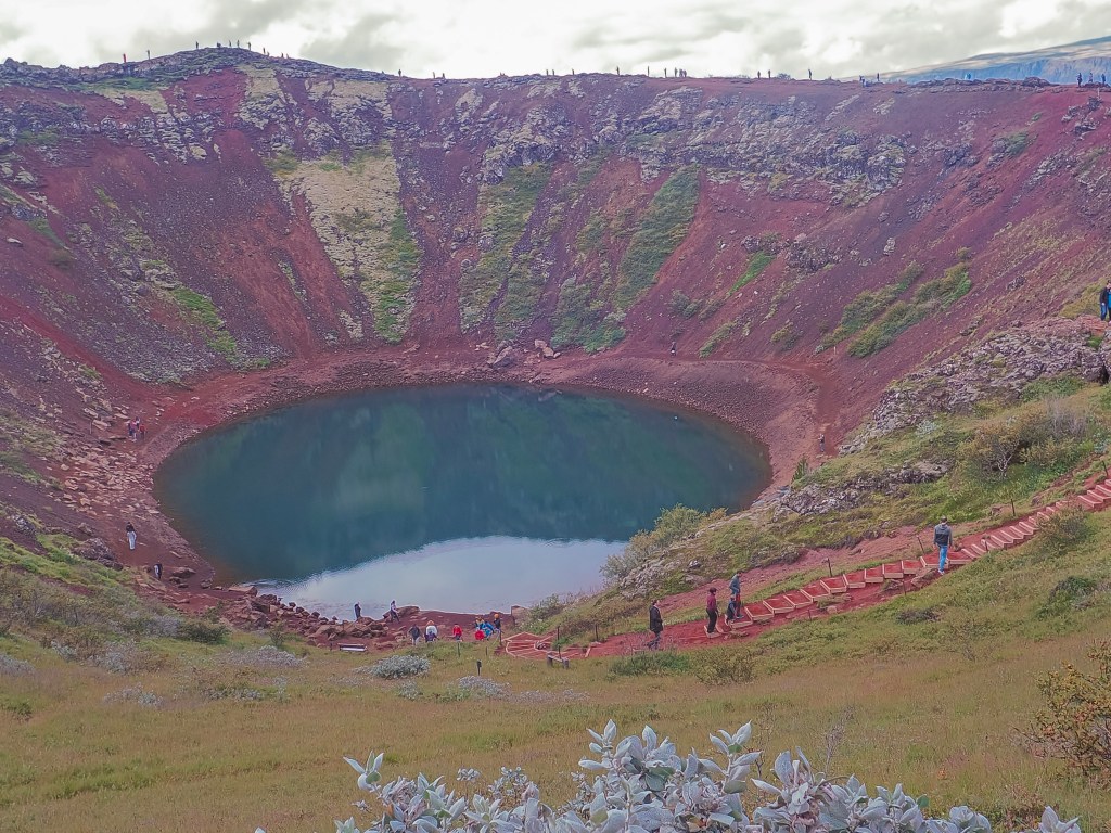
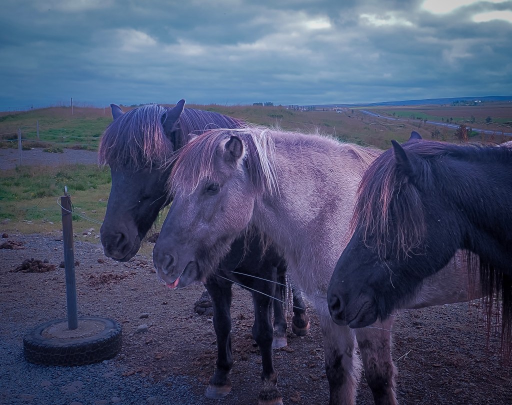
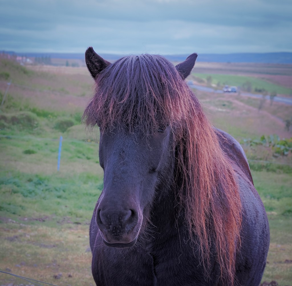
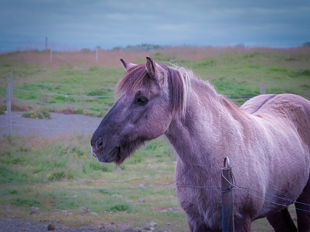
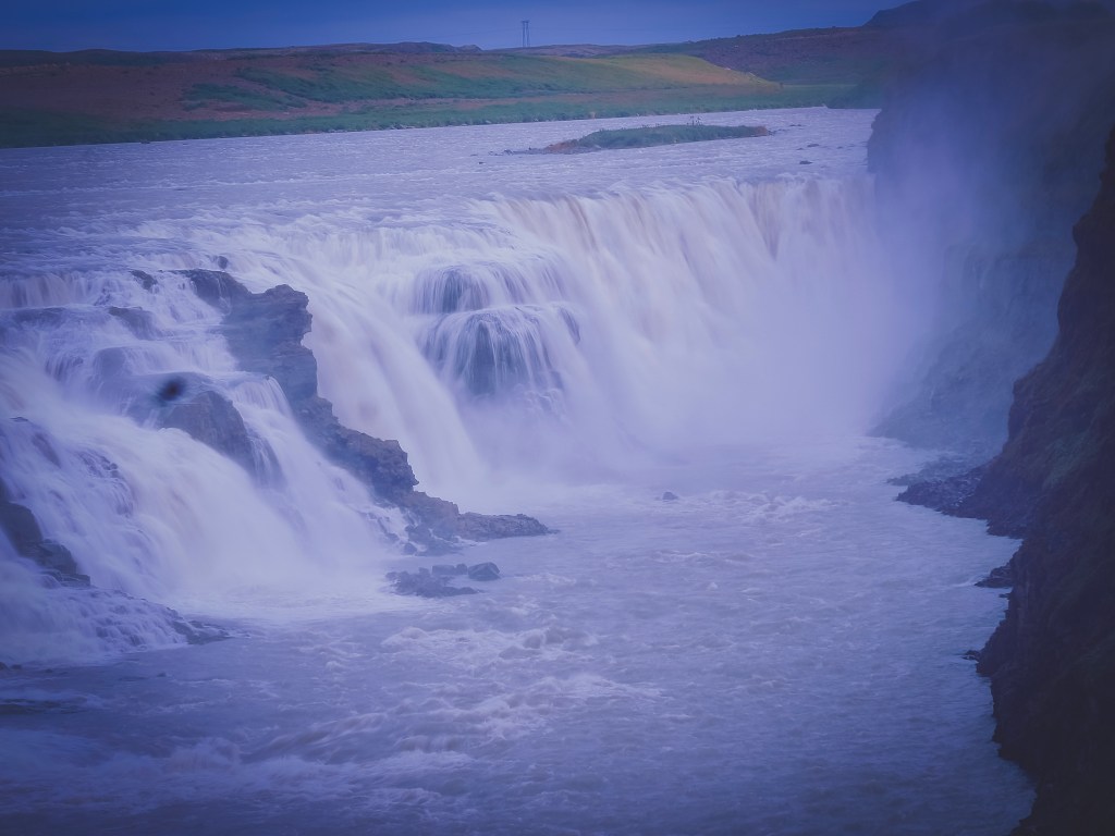
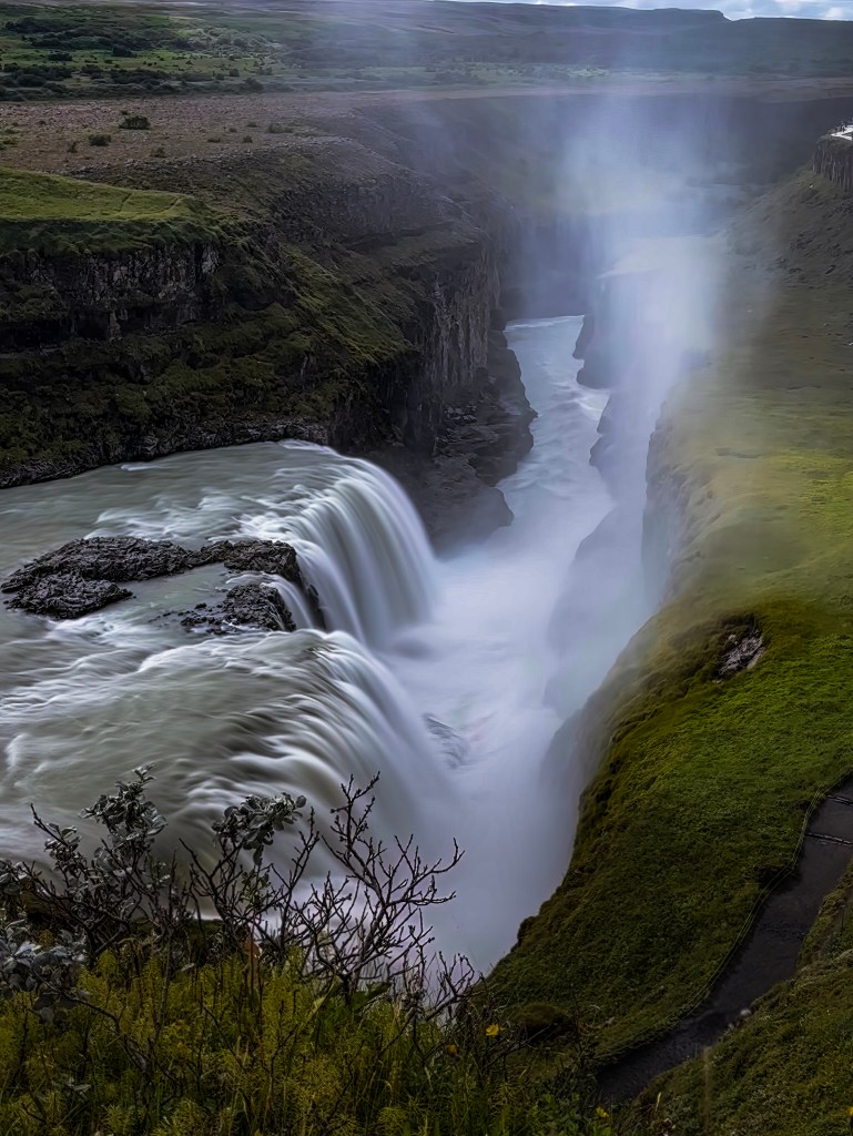
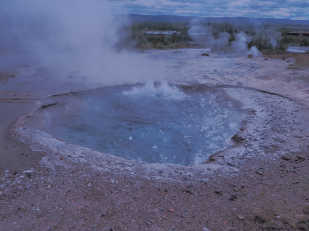
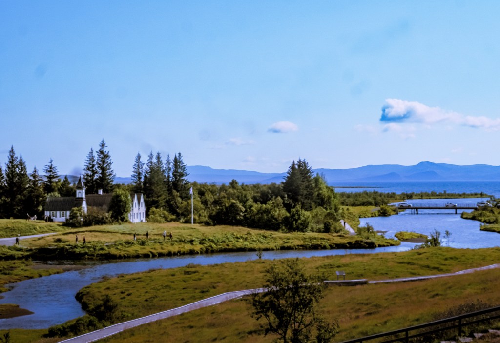
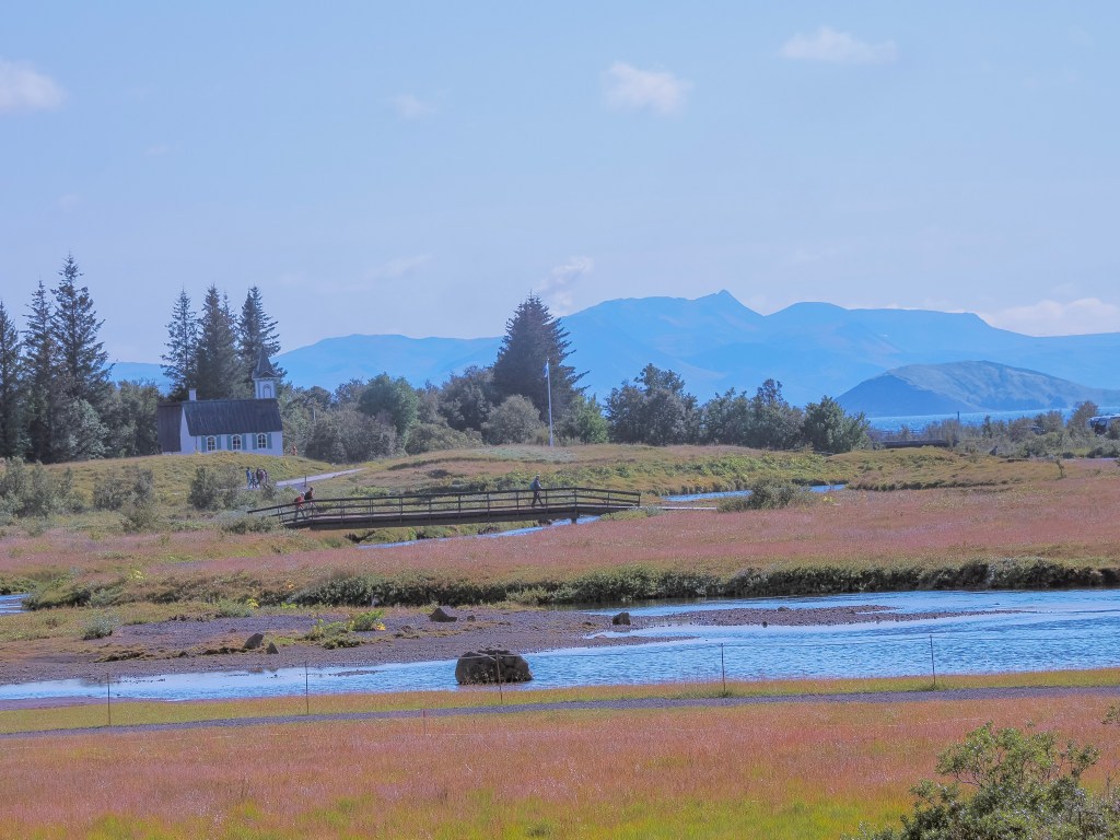
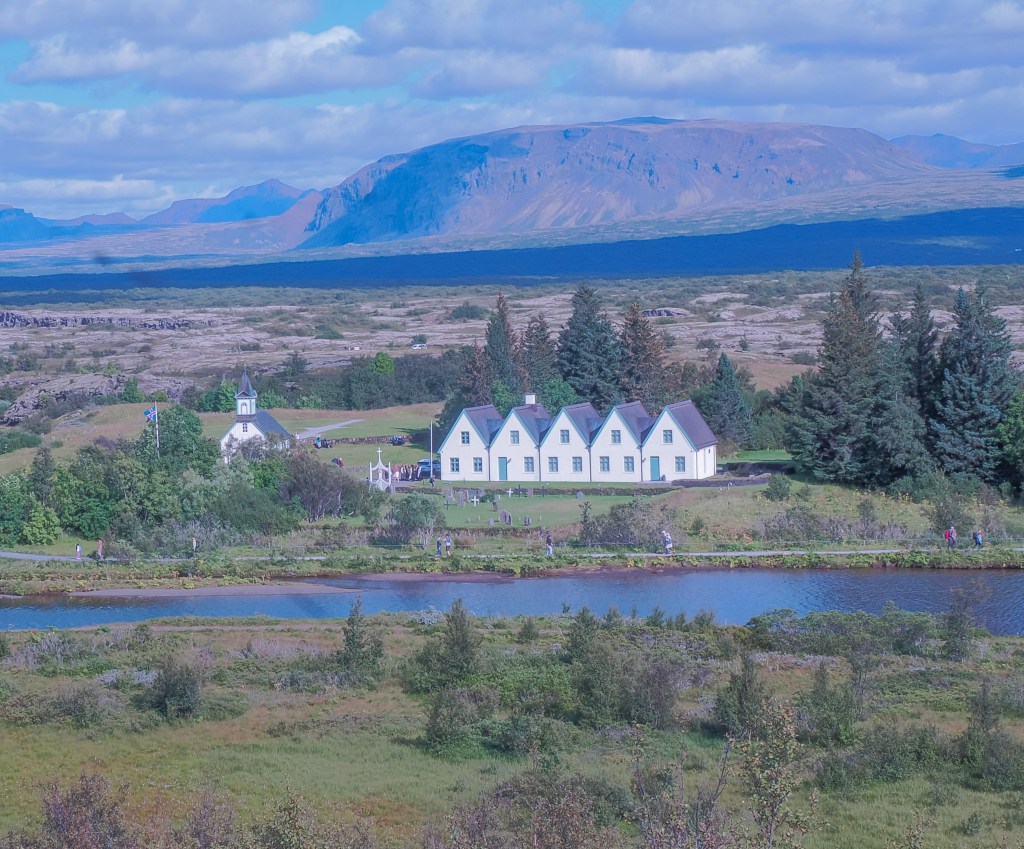
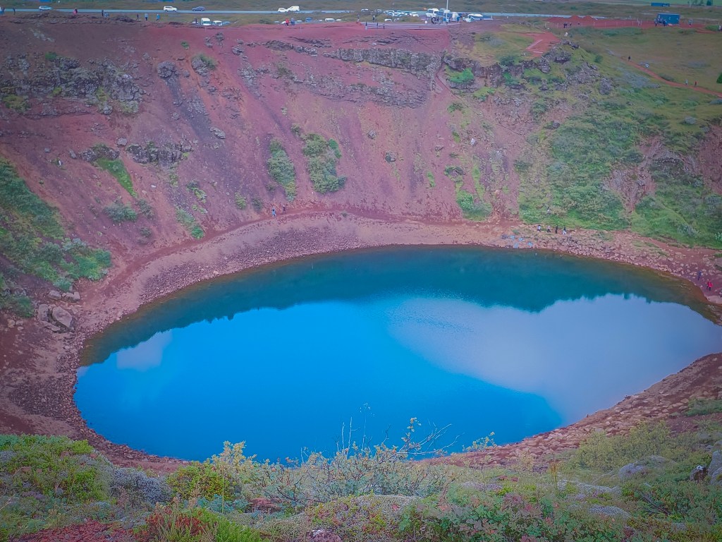
8/16 — Back to Reykjavik: With a full day back in port before disembarking, we squeezed in a Golden Circle tour — Iceland’s other classic loop. We started at Kerið, a volcanic crater nicknamed “The Eye of the World,” its blue-green lake ringed by deep red volcanic rock. An unplanned stop to feed Icelandic horses turned into one of the most quietly joyful parts of the day. From there we hit Gullfoss, the two-tiered “Golden Waterfall” plunging 105 feet into its canyon, and Strokkur geyser, erupting every four to ten minutes and giving us plenty of chances to catch it mid-burst. We closed the loop at Þingvellir National Park, walking through the rift valley where the Eurasian and North American tectonic plates are visibly pulling apart — also the site of Iceland’s first parliament, so history and geology share the same ground.
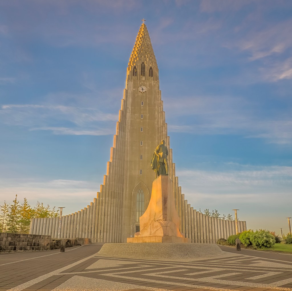
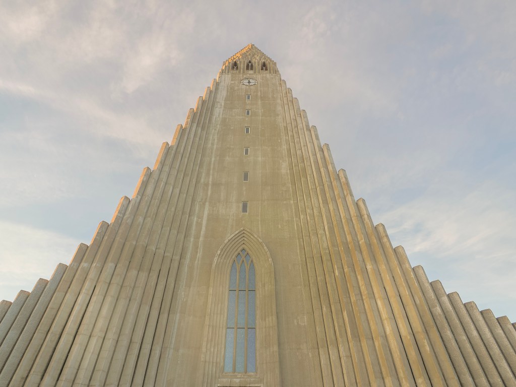
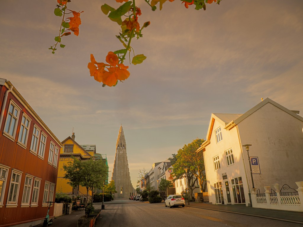
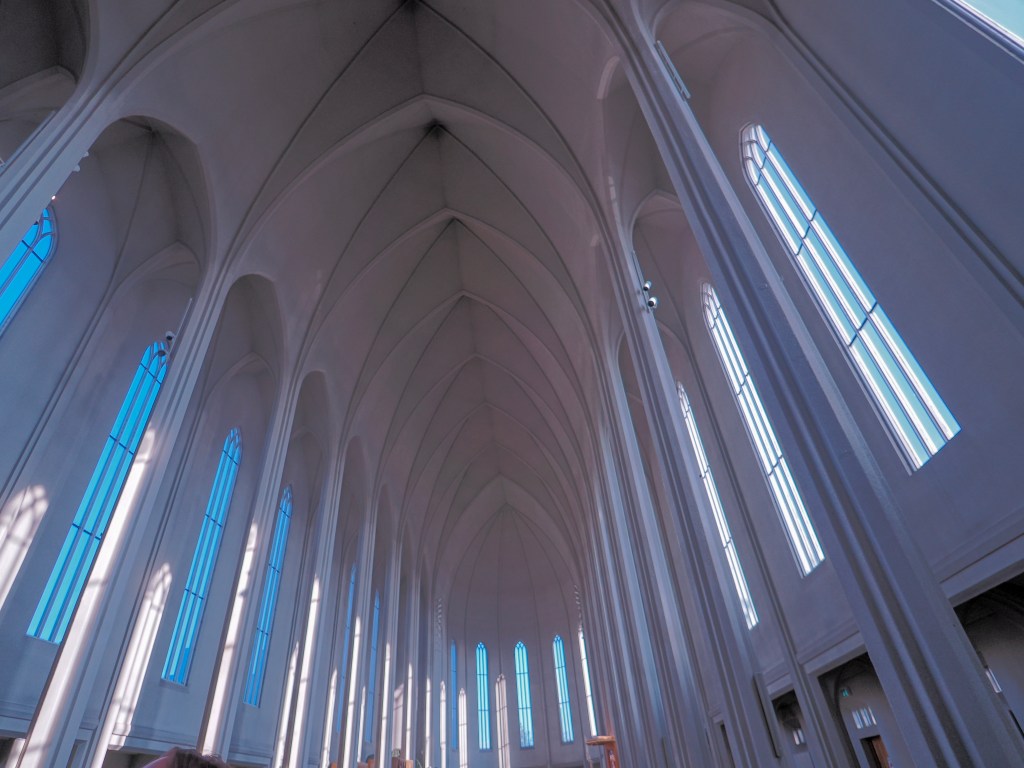
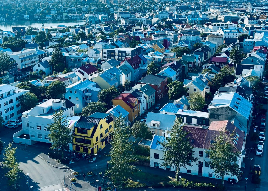
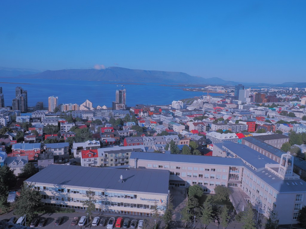
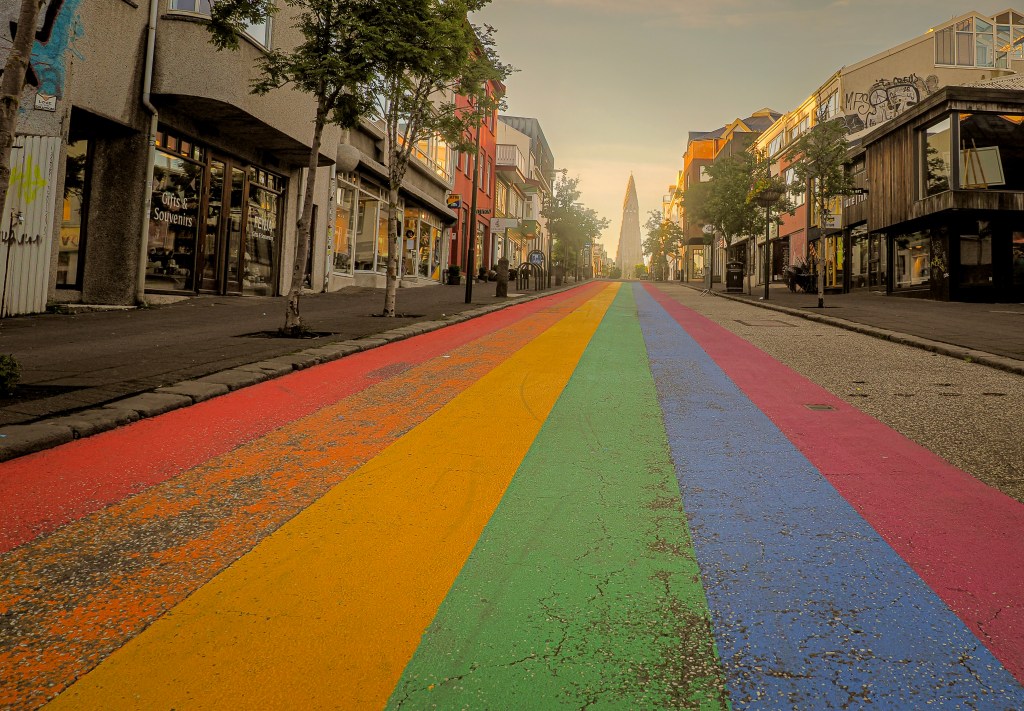
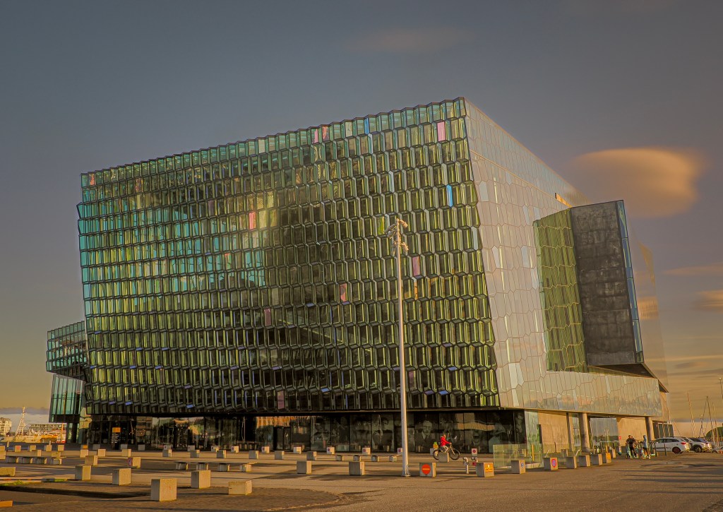
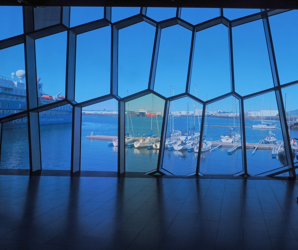
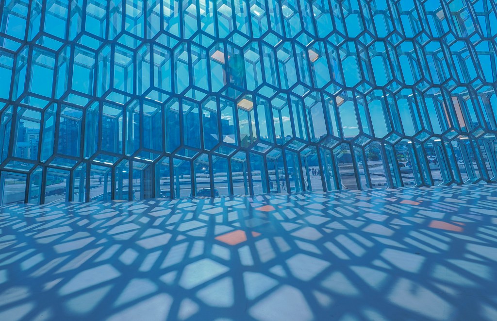
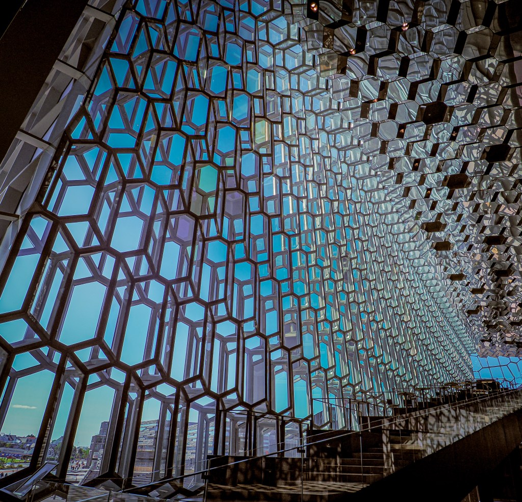
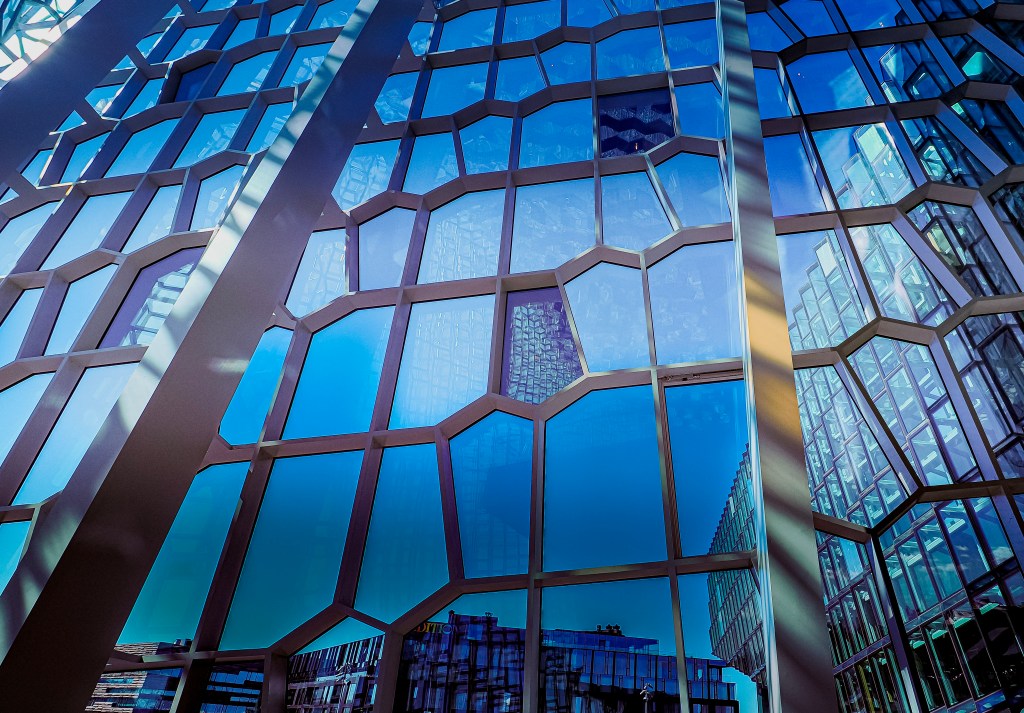
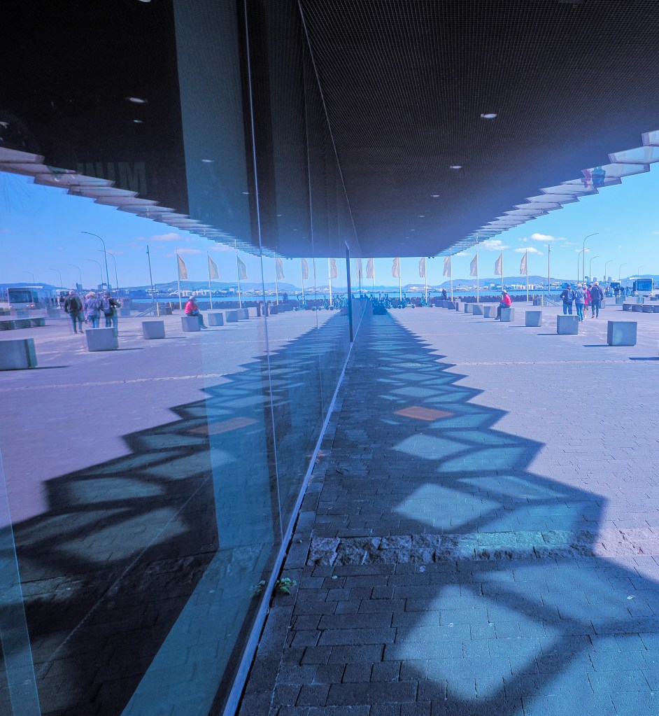
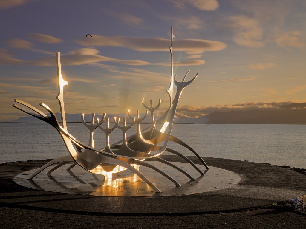
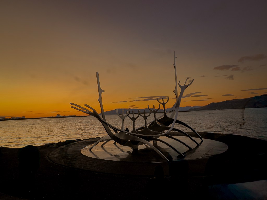
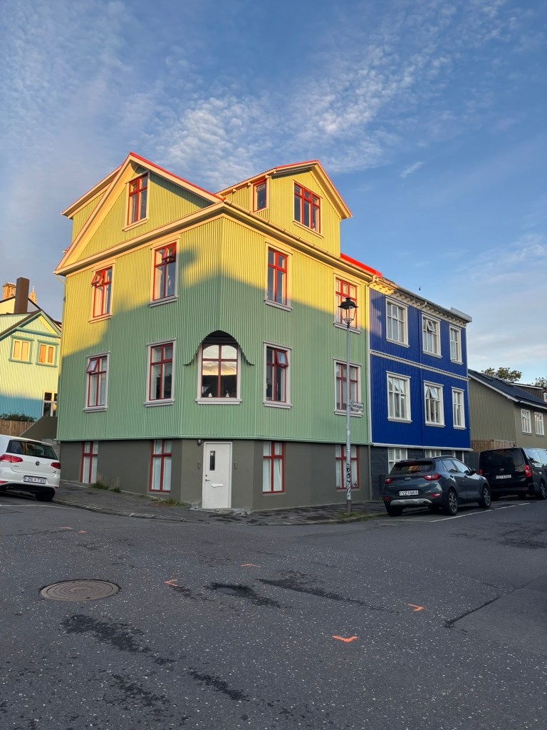
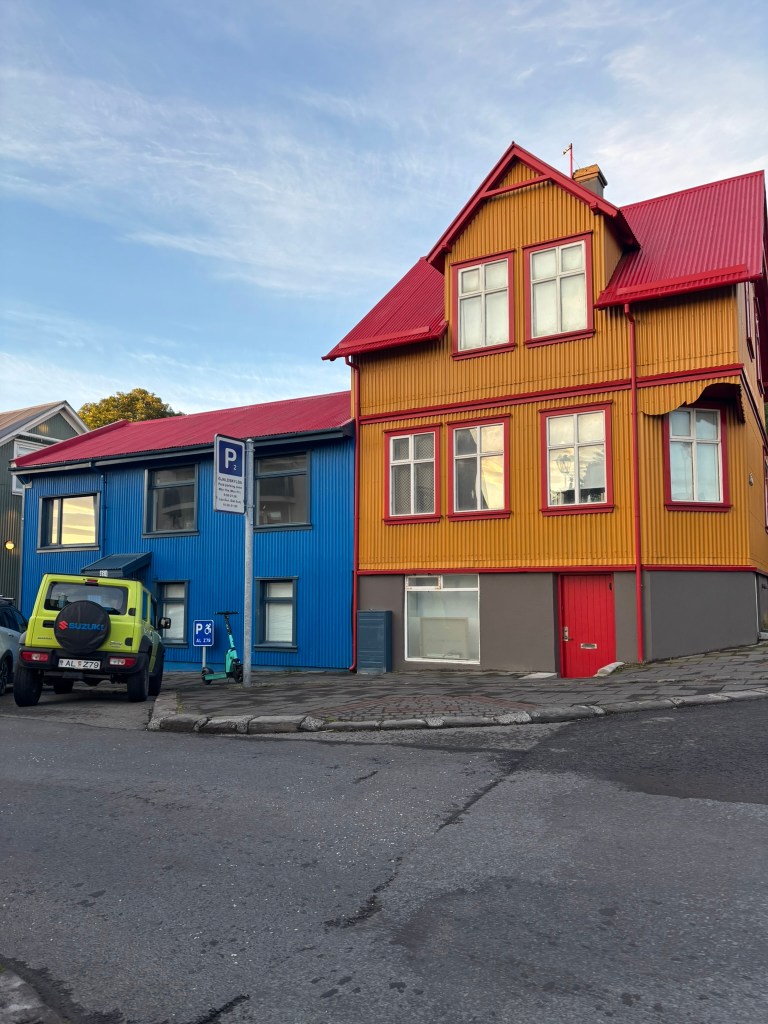
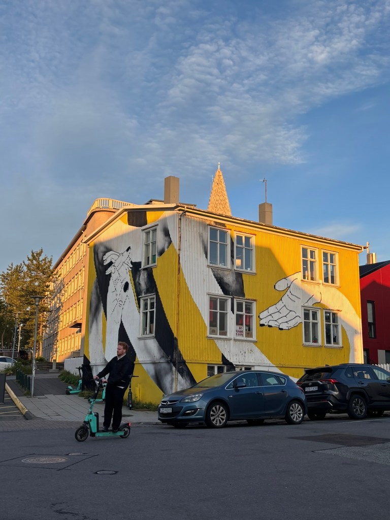
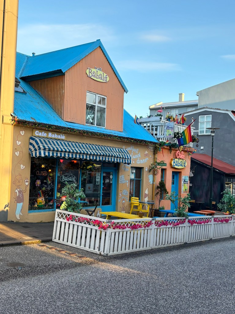
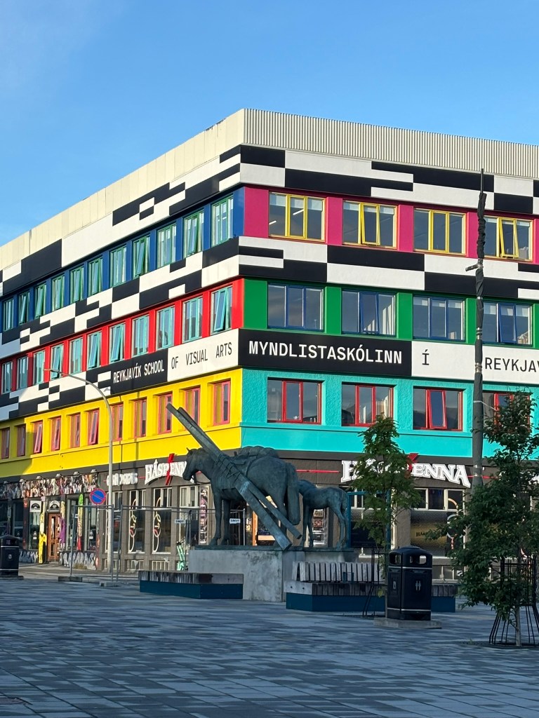
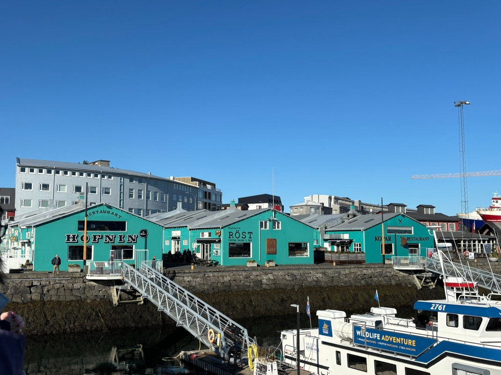
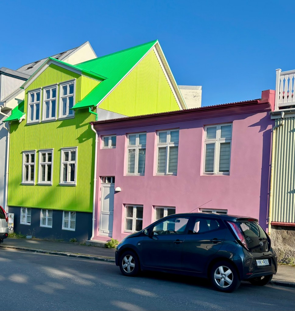
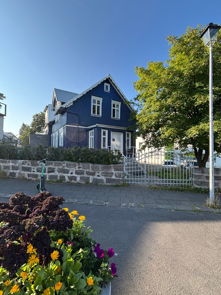
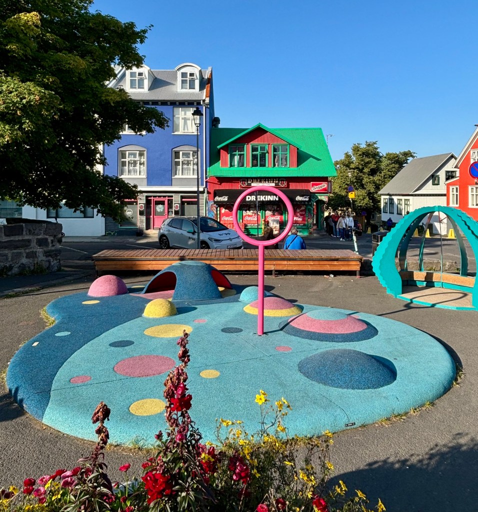
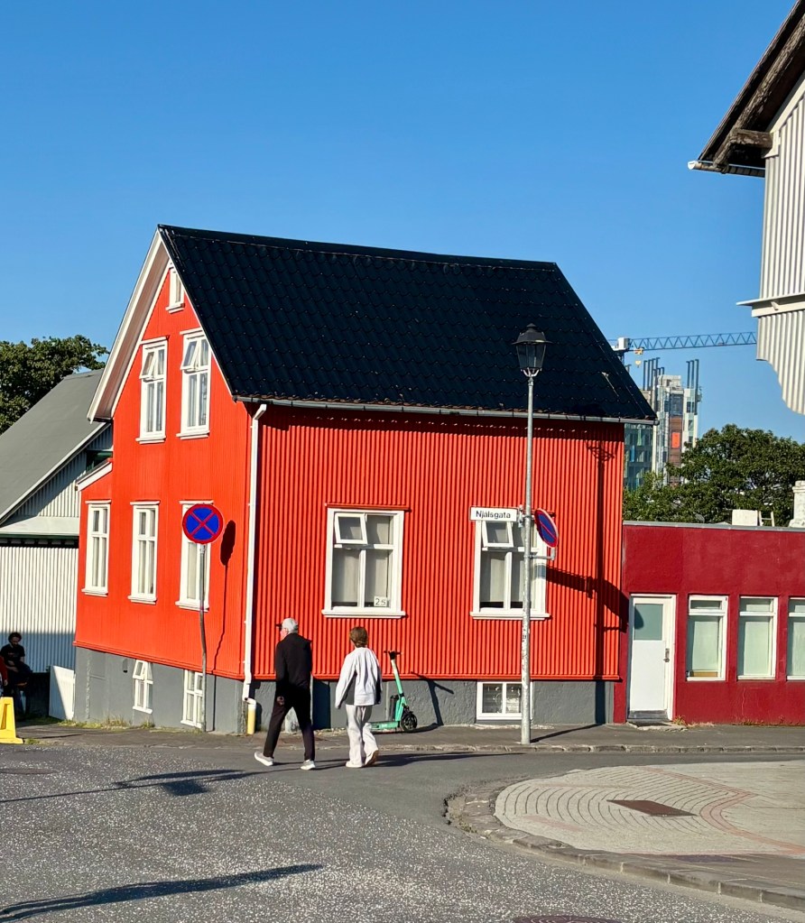
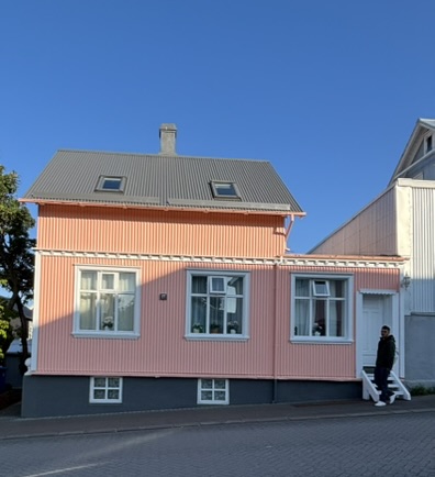
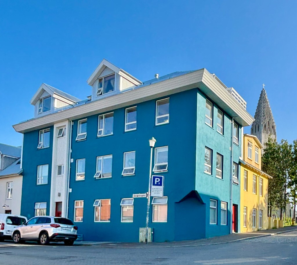
We also carved out time to properly photograph Reykjavik itself, something we hadn’t expected to prioritize. Hallgrímskirkja’s 73-meter tower — its ribbed concrete facade deliberately echoing the hexagonal basalt columns found around the island — dominates the skyline from nearly every angle, and the elevator ride to the top delivers a sweeping view over the city’s candy-colored rooftops down to the harbor. Right at its base, the rainbow-painted Skólavörðustígur leads the eye straight up to the spire. Down by the water, Harpa concert hall was a genuine standout — its honeycomb of individually shaped glass panels, inspired by those same basalt columns, throws shifting color and light across the interior depending on where you stand. We also caught the Sun Voyager sculpture at golden hour, and spent a happy hour just wandering residential streets lined with houses in lime green, bubblegum pink, and deep teal.
Life Aboard
We had a couple of rough days at sea — the North Atlantic isn’t the Caribbean — but nothing that ruined the trip; the Mars handled the swells better than we expected for a first-time cruiser on open ocean.
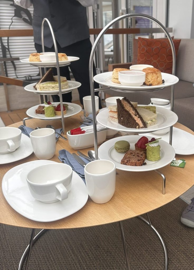
Most of our dinners were at The Restaurant, the ship’s main dining venue, which was consistently good without ever feeling like it was trying too hard. But if there was one unexpected highlight of the whole onboard experience, it was high tea — a proper, unhurried afternoon ritual that became something we looked forward to every sea day.
Disembarking (8/17)
We got off the ship on the 17th having circled an entire country by water, missed one port to weather, and eaten more pastries at high tea than we’d like to admit. Between the glacier lagoon at Djúpivogur, the rainbow street at Seyðisfjörður, the lava fields around Akureyri, and the puffins of Vigur Island, this circumnavigation delivered on its “Natural Treasures” name in a way that consistently surprised us — the misses (Heimaey) stung, but the trip more than made up for it elsewhere. For a first big-ship cruise, the Viking Mars set a high bar — upscale without being stuffy, and well suited to a destination like Iceland, where the scenery does most of the work anyway.