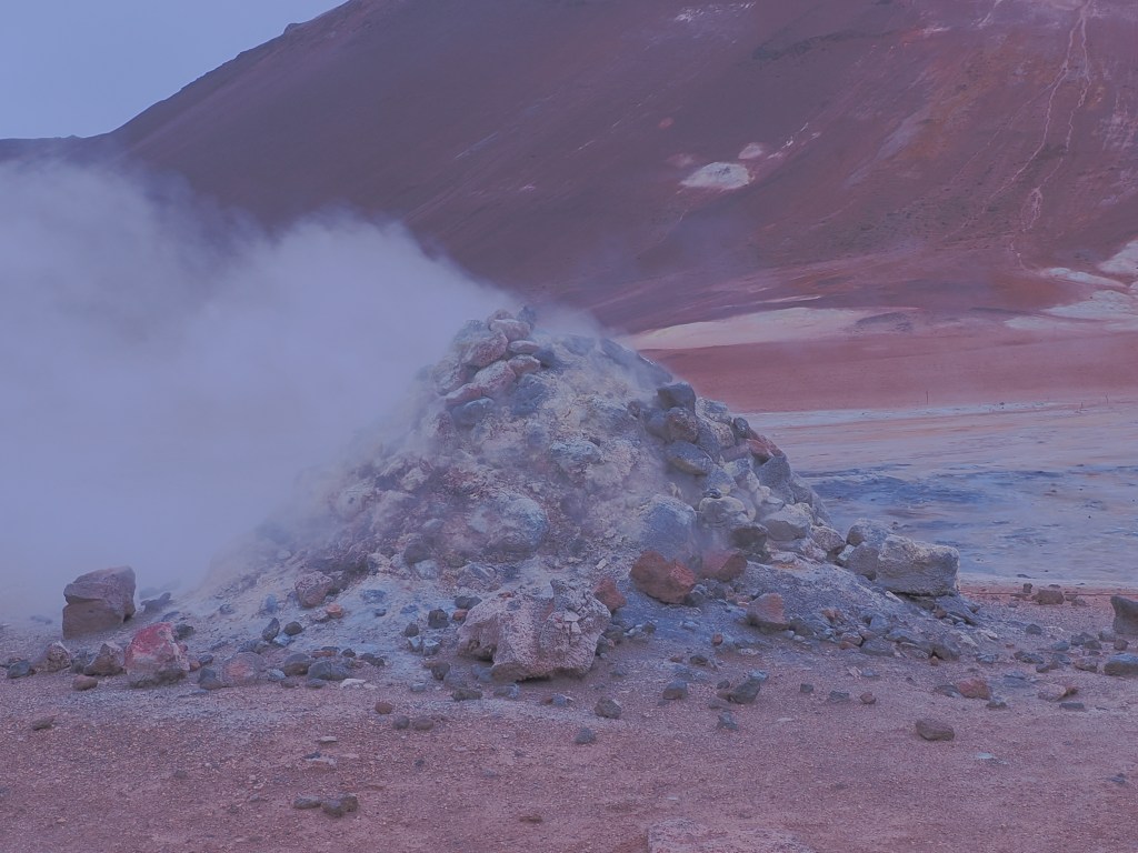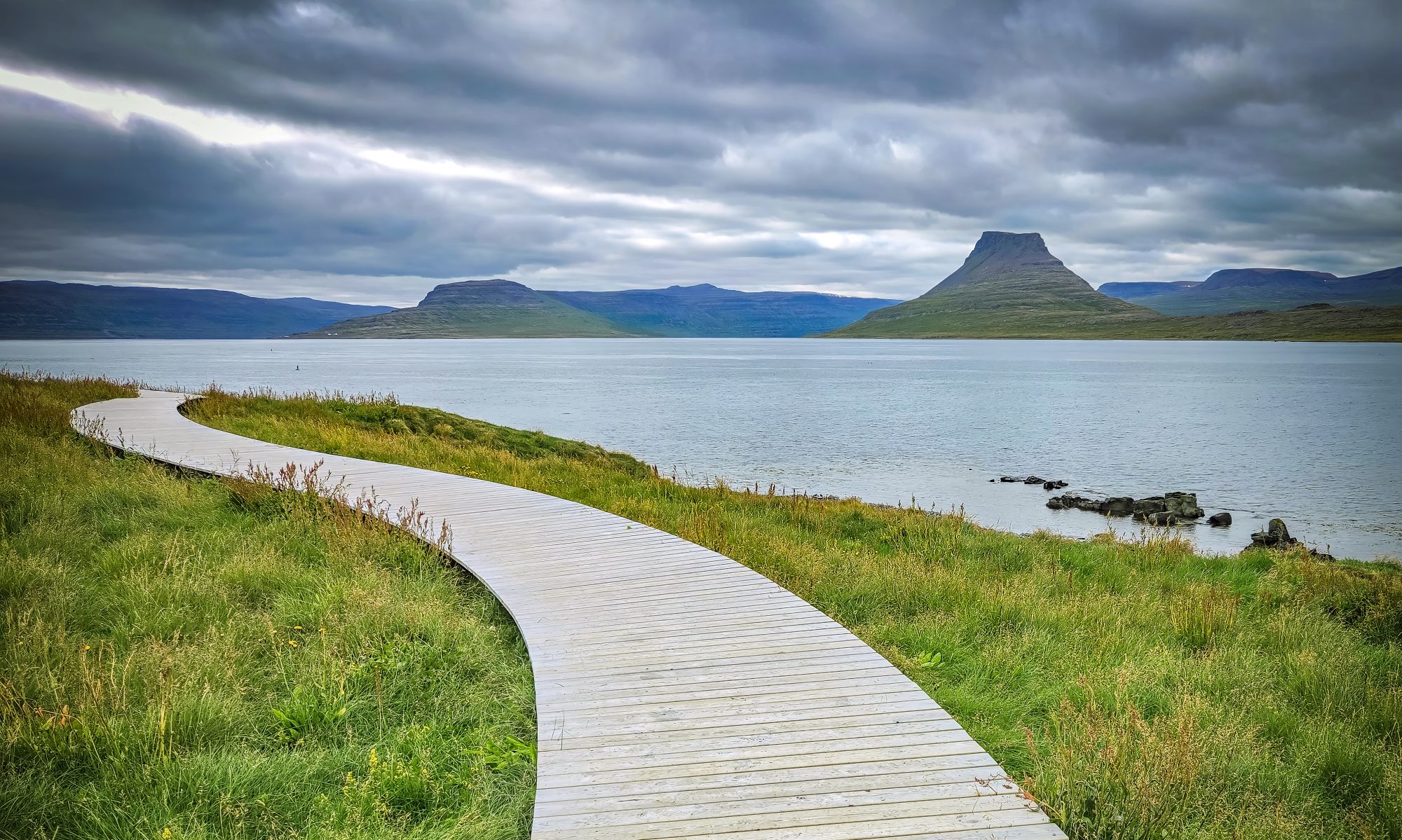
There’s a stretch of Iceland’s Ring Road where the vegetation simply stops. One minute you’re driving past green wetlands and grazing sheep, the next you’re pulling into a barren, steaming, sulfur-stained moonscape where the ground hisses and bubbles like it’s alive. Locals call it “Hell’s Kitchen.” The rest of us call it Hverir — and it might be the single strangest place you’ll stand on your entire Iceland trip.
What Is Hverir (Námaskarð)?
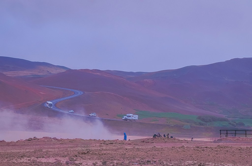
Hverir sits at the foot of Mt. Námafjall in North Iceland, just a few kilometers east of Lake Mývatn on Route 1. You’ll see it referred to interchangeably as Hverir, Námaskarð, Námafjall Hverir, or Hverarönd — they’re all pointing at the same high-temperature geothermal field, one of the most intense and accessible in the country.
No hiking is required to feel the full effect. Pull off the Ring Road, step out of the car, and you’re immediately surrounded by hissing steam vents (fumaroles), bubbling grey mud pots, and ground streaked in shades of yellow, orange, red, and white from mineral deposits. The Icelandic nickname for the area, eldhús djöfulsins — “the Devil’s Kitchen” — is not an exaggeration once you’re standing in it. Steam drifts across the barren ground right where Hverir meets the Ring Road — you’ll spot it long before you arrive.
The Sulfur That Armed Medieval Europe
Behind the surreal colors is a genuinely surprising piece of history: Hverir wasn’t just a geological curiosity to the people who lived near it. For centuries, it was an industrial site.
Sulfur has probably been extracted from the Námafjall area since as early as the thirteenth century. Back then, sulfur was one of the most valuable commodities you could get your hands on, because it was a key ingredient in gunpowder. At the height of demand, a large share of the sulfur used in gunpowder production across medieval and early modern Europe came directly from mines around Námaskarð — meaning this quiet, remote patch of North Iceland was, for a stretch of history, genuinely strategically important to armies and empires that most Icelanders would never see.
The trade eventually caught the attention of foreign powers: by the sixteenth century, the local sulfur deposits had come under the control of the Danish Crown, which controlled Iceland at the time. Miners worked the deposits in brutal conditions — unstable, superheated ground, choking sulfurous gas, and difficult terrain that made transporting the material out of North Iceland a serious logistical challenge in its own right. Extraction continued with varying intensity into the nineteenth century, with a brief attempt to revive mining around 1940.
Eventually, gunpowder stopped being the point. As Iceland’s relationship with its geothermal landscape shifted from extraction to energy, places like Hverir became valuable for an entirely different reason: geothermal power now heats the vast majority of Icelandic homes, and the same volcanic forces that once produced sulfur for war are now a cornerstone of the country’s renewable energy.
The name itself still carries the memory: Námaskarð translates roughly to “Mine Pass” — a nod to a few hundred years of people working in one of the most hostile environments in Iceland, long before anyone came here to take photos.
What to See at Hverir
- The fumaroles — steam vents where volcanic gas escapes through cracks in the earth, some loud enough to hear before you spot them. On calm days the steam rises straight up in tall columns; on windy days it sweeps sideways across the whole field.
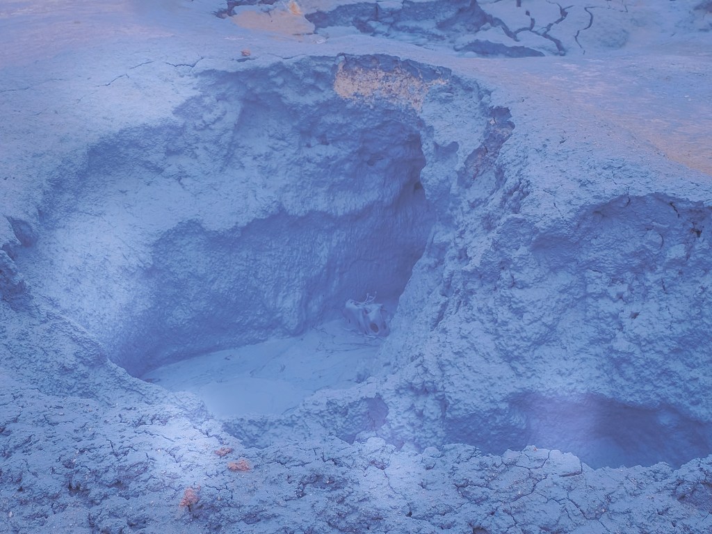
- The mud pots (solfataras) — thick, grey, boiling mud that pops and bubbles constantly. Mesmerizing to watch, and one of the best photo subjects in the area.
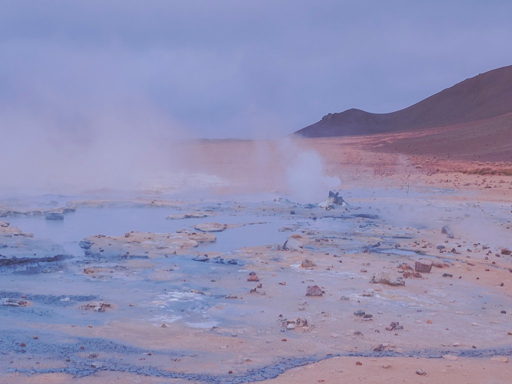
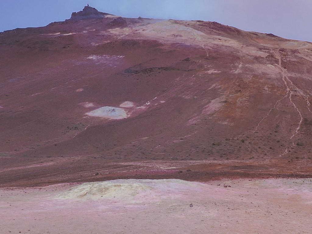
- The mineral-stained ground — bright yellow elemental sulfur crusts around the most active vents, with rust-orange and white patches from iron oxide and silica deposits nearby.
- Mt. Námafjall — the orange-toned rhyolite mountain towering over the field. If you have extra time, a hike up gives you a sweeping view down over the entire geothermal area and Lake Mývatn beyond it.
- The two 1950s boreholes — a pair of especially striking fumaroles drilled during a mid-century sulfur exploration effort, among 16 wells sunk in the area at the time.
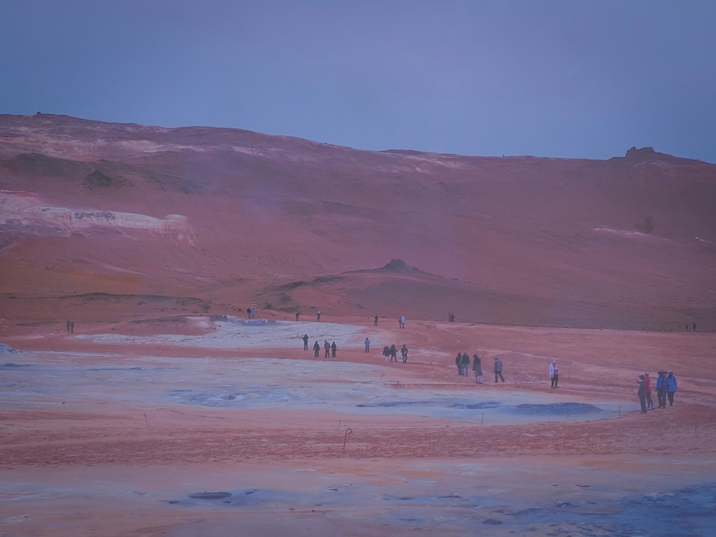
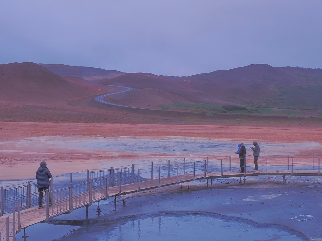
Recommended time: 30–60 minutes for the main field on the marked walkways; 2–3 hours if you add the Námafjall hike.
Safety note: stick to the marked paths. The crust around fumaroles and mud pots can look solid while hiding scalding mud or steam just beneath the surface, and severe burns are a real risk if you wander off-trail. Try to stay upwind of the strongest vents too — the sulfurous gas is unpleasant at best and irritating to breathe at worst.
Parking Fee at Hverir
Hverir charges 1,200 ISK for parking, payable through the EasyPark app. There’s no separate entrance fee to walk the geothermal field itself — the parking charge is the only cost of a visit. As with most managed car parks in Iceland these days, pay before you set off on foot rather than after; retroactive payment usually comes with a penalty.
Hverir sits right on the Diamond Circle route and pairs easily with nearby Krafla volcano and the Mývatn Nature Baths, making it a natural stop whether you’re doing a full day loop or just passing through on the Ring Road.